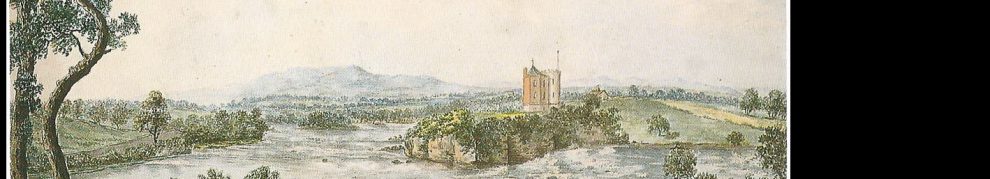
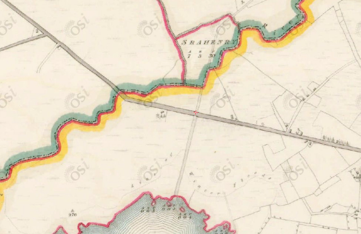
Lacy’s Canal runs from a point south of Mullingar, in County Westmeath, slightly west of south to Lough Ennell; this link should take you to its upper end on the modern Ordnance Survey map. And here it is on the 6″ Ordnance Survey map from around 1840.

Lacy’s Canal 96″ OSI)
![]() In October 2011 Mick Farrell and Niall Galway went to visit Lacy’s Canal and, in December 2011, Mick very kindly sent me some photos, with permission to use them here. I said I would put them up when I had found out a little more about the canal’s origins. Tinterweb tells us that it was built in the late eighteenth century and [for some unspecified reason] called after Hugh de Lacy. I haven’t been able to visit Mullingar’s library, but happily the Royal Irish Academy knows a little more about the canal and I give the information at the end of this page.
In October 2011 Mick Farrell and Niall Galway went to visit Lacy’s Canal and, in December 2011, Mick very kindly sent me some photos, with permission to use them here. I said I would put them up when I had found out a little more about the canal’s origins. Tinterweb tells us that it was built in the late eighteenth century and [for some unspecified reason] called after Hugh de Lacy. I haven’t been able to visit Mullingar’s library, but happily the Royal Irish Academy knows a little more about the canal and I give the information at the end of this page.
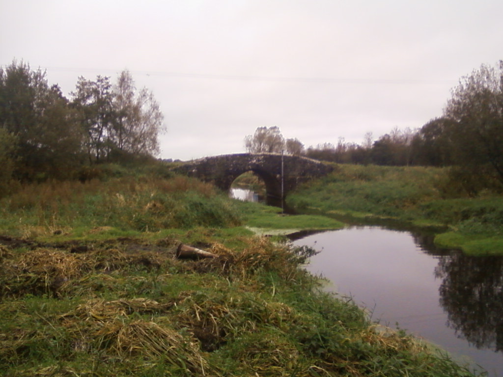
The first two photographs are taken from Joe Dolan Bridge.

Looking upstream towards Mullingar from Joe Dolan Bridge (Mick Farrell)

Looking downstream from Joe Dolan Bridge (Mick Farrell)
The next photo is taken further downstream, from Butler’s Bridge, close to Lough Ennell.
Butler’s Bridge (OSI 6″)
Butler’s Bridge from downstream (Mick Farrell)
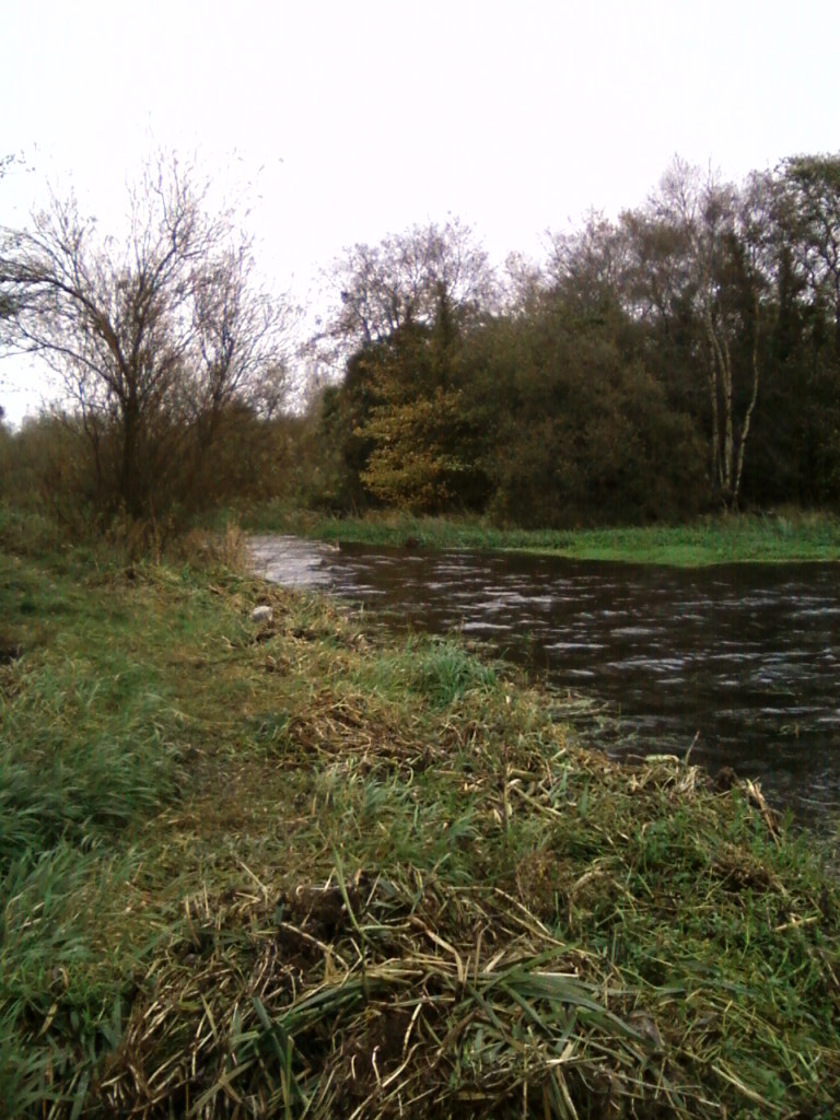
Looking up Lacy’s Canal from Lough Ennell (Mick Farrell)
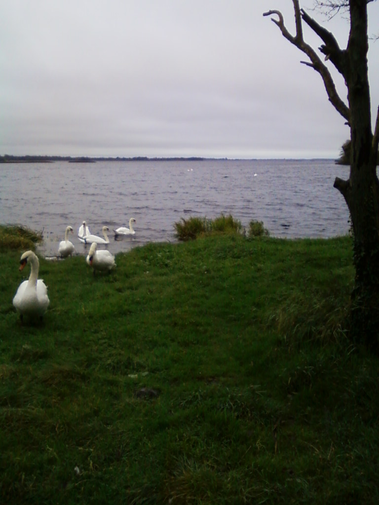
Swans on Lough Ennell (Mick Farrell)
The Shannon River Basin District Characterisation & Analysis Summary Report, published in 2005, says:
Lacy’s Canal stretches from south of Mullingar town to Lough Ennell. Little is known about Lacy’s Canal, but it may have been a projected scheme, either partially completed or held up for one reason or another. The other view is that it was built to carry turf in traditional cots. It is 3.1 km in length.
The Royal Irish Academy publishes a series of Historic Irish Towns Atlases. No 5, by J H Andrews with K H Davies, which came out in 1992, covers Mullingar. It says:
Lacy’s Canal, Lough Ennell to 0.5 km S of town. Planned but not yet constructed 1785-6 (Granard estate correspondence, PRONI T.3765/J/4–6). ‘An old canal … said to have been made for bringing turf up to the town in small boats’ (Ordnance Survey name books, Co Westmeath 1837); canal 1837; Lacy’s Canal 1953 (OS).
In 1661 the manor of Mullingar was granted to Sir Arthur Forbes, later the first Earl of Granard; it will be recalled that we are indebted to the eighth earl for the grey squirrel.
A search on the PRONI website for “T3765” will find a PDF list of privately deposited records but no acessible information. It would be nice to learn more about the canal’s construction and use and about the reason for its name.
Update 2019: some further thoughts about the name here.
turf65


Pingback: Lacy’s Canal | Canals of Dublin – Tourism Information for the Inland Waterways of Ireland
Oct 2015 – grass growin ON TOP of the river Brosna at Butlers Bridge. Total and utter pollution
Pingback: Lacy and the canal | Irish waterways history