Photos taken in March 2015 from a quay near Ardsallagh, on the Munster Blackwater. The OSI 25″ map (around 1900) shows two quays near Ardsallagh. The one nearer Ardsallagh House has no road nearby, so I think that the quay we visited was the other one.

The location of the quay (copyright OSI 25″ 1900)

A closer look at the map (copyright OSI 25″ 1900)

The road down to the water

Thatched house and shed by the water

Looking downstream

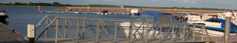
There are boats almost everywhere you look
The bridge at Youghal is not far downstream.
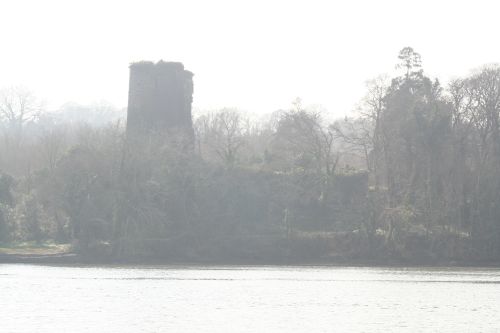
On the west bank: Templemichael

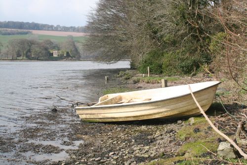
The west bank
Looking upstream to Molana Abbey
Ballynatray House is a little further upstream on the west bank.
![]()
Next: Youghal bridge

