I’ve been in the town of Killarney but I’ve never been to see the lakes or any of the sights (I’m not American, you see). And I had not realised that there is a canal there.

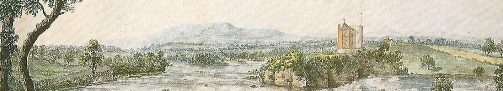
The canal by Ross Castle (OSI 6″ ~1840)
The canal is close to Ross Castle. It seems to have provided a short cut between two sections of Lough Leane, cutting across a peninsula. There is a bridge; I don’t know what the headroom is. You can see the canal from the bridge thanks to Messrs Google; it seems to be used mostly as a parking space for boats.
You can read about the canal in Isaac Weld‘s Illustrations of the Scenery of Killarney and the surrounding country [Longman, Hurst, Rees and Orme, London 1807]. Here is the relevant section:
On approaching the lake in the vicinity of Ross-castle some disappointment is at first generally experienced from the flatness and marshy quality of the shore. The latter part of the road is a causeway, which crosses the morass or bog near the castle, and is reduced to a narrow isthmus by inlets of the lake on each side.
A small canal cut through this isthmus, is the only separation between the main land and the island of Ross; so that during summer, when the separation can only be distinguished at the distance of a few yards, it scarcely appears to deserve the appellation of an island; but in winter the whole isthmus is overflowed.
The canal affords a ready passage from Ross-bay to Mucruss; and it also facilitates that to the upper lake when the wind blows fresh into the bay, at which time the boats could with difficulty be rowed round the northern point of the island. A small bridge is built across the canal, at the foot of which there is a large gate with a guard-house for the protection of the approach to the castle: when the castle is garrisoned, this gate is regularly closed at night, and sentinels placed over it.
That doesn’t tell us who built the canal, when or for what purpose. I would be glad to hear from anyone who can add any information: please leave a Comment below.
![]()

