
The slipway at Camphire is across the river from the quay and slip at Villierstown.
Camphire slip and Villierstown pier (OSI)
Villierstown is a dual-purpose installation:
- a quay for the schooners (and other vessels) loading and unloading cargoes on their way up and down the Blackwater
- a slip for the ferry carrying passengers and cargoes across the Blackwater.
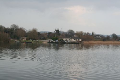
Villierstown quay, seen from Camphire slip
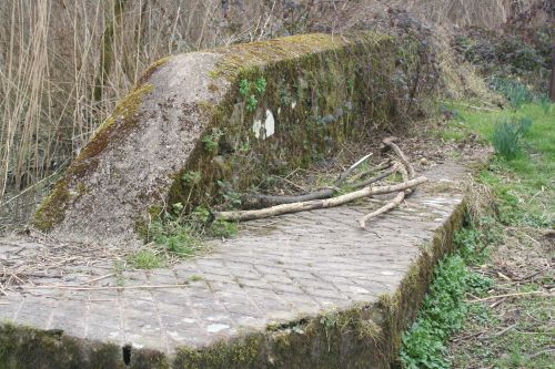
Solidly built installation at the slip. I don’t know what it was for
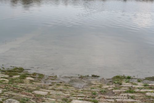
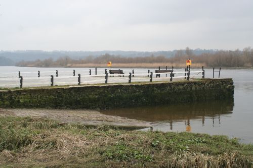
The slip extends well out into the water
I’m guessing, but I suspect that the ferry must have been a large flat-bottomed boat, perhaps with ramps at both ends to allow both animals (cattle, horses) and wheeled vehicles on and off. The crossing would have saved people a considerable journey by road to reach the nearest bridges.

Wing wall leading to the slip
As usual, I would be grateful to anyone who can explain the various features to me.
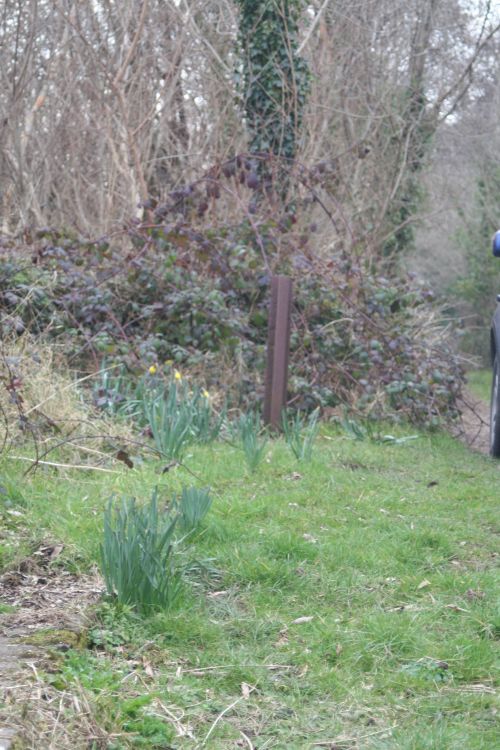
Vertical iron pillar
I wonder whether the ferry might have been attached to a rope or chain, both for propulsion and to prevent its being swept downriver.
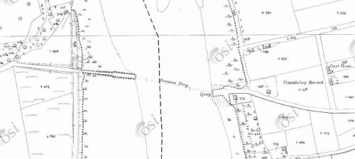
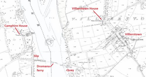
Close-up of the 25″ OSI map of ~1900
The works on the west bank extend a considerable way, presumably to overcome the mud banks.
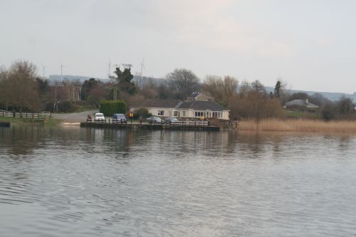
Villierstown Quay; the slip is to the left of the quay
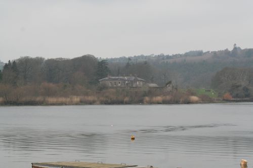
Camphire House seen from Villierstown Quay
Villierstown slip and quay
![]()
Next: Killahally

