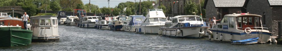
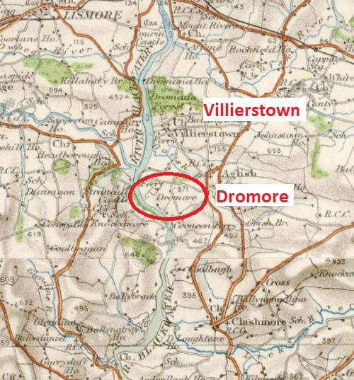
Dromore is downstream of Villierstown quay, but seems little used.
Dromore, downstream of Villierstown (OSI 25″ ~1900)
The 6″ Ordnance Survey map from the 1830s (or so) shows a ferry at Dromore, although whoever surveyed the west bank seems to have taken more interest in the subject than his eastern colleague: the ferry route goes only half way across the river. There is a quay (a sort of basin) on the west bank but so structure on the east bank.
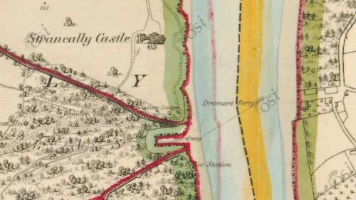
Dromore Ferry
The 25″ OSI map, from around 1900, shows the quay at Dromore but that on the west bank is marked as disused.

Dromore and Strancally on the 25″ OSI map from ~1900

Is that a slip to the right of the quay?

Rings again; no sign of bollards

Mud: the dominant feature

Mud downstream too

Steps

Many rings are wearing through

The steps again

On the far side: Strancally tower. I don’t know what it is; info welcome

Upstream a bit: pontoon, presumably for Strancally Castle
Strancally walls

Strancally Castle

A close-up, but too many trees

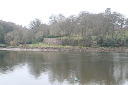
Back to the east side: it might look more cheerful if the sun came out
![]()
Next: Cooneen

