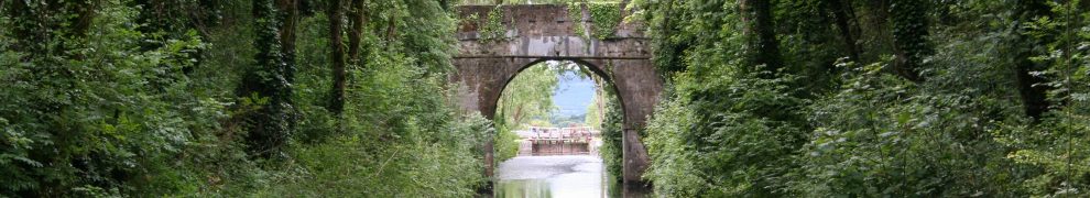
The navigable route through Limerick uses the Abbey River, a branch that leads under O’Dwyer Bridge and past the entrance to the canal harbour. The other route runs under Thomond Bridge and over the Curragour Falls. The map shows the Abbey River to the right and the Curragour route to the left.
Incidentally, there are several spellings of the name: Curraghgour Boat Club uses one and the University of Limerick Activity Centre uses another, but An Coimisiún Logainmneacha, in its Placenames Database of Ireland, uses Curragour. The UL Kayak Club seems to shorten it to Gower.
The floods of November 2009 did not deter kayakers (kayakists?) from enjoying the waves at Curragour. These photos (selected from over 250) were taken from Arthur’s Quay and from near the Courthouse. Kayakers launch and recover their craft from locations on the far side of the river.

The river with one kayakist just visible near the left

Thomond Bridge

Where the kayakists launch

Where they recover

Some kayakists paddle back upstream, close to the wall, to the launch site

Yellow kayak

Red kayak

Three kayaks

Rough water

Two kayaks

Preparing to launch
The next thirteen photos follow a white kayak downstream. The first photo in the sequence was taken at 10:36:49 and the last at 10:37:15.

White kayak 1

White kayak 2

White kayak 3

White kayak 4

White kayak 5

White kayak 6

White kayak 7

White kayak 8

White kayak 9

White kayak 10

White kayak 11

White kayak 12

White kayak 13
[lk2atr10]


You may also be interested in this: http://www.youtube.com/watch?v=ZflQkw88O4s