In July 2011 I made a brief stop in Belturbet, County Cavan, and took a short walk upriver. The photographs on this page do not constitute anything like a full account of the waterways and industrial heritage of Belturbet, but I was impressed by the fact that the town had information boards about some sites of interest and also had signposts to others. O si sic omnes ….
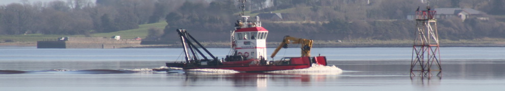
Belturbet is the head of the navigation of the River Erne: you can’t get upstream beyond this point in any sizeable conventional craft (although a dredger did manage the feat).

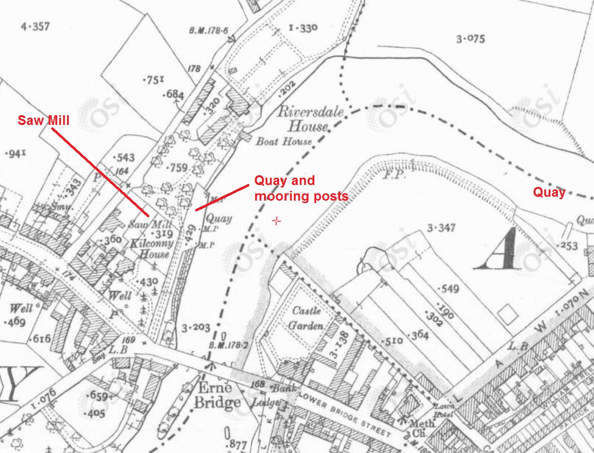
Belturbet (OSI ~1840)
My brief visit began at the quay at Kilconny, just below the bridge.

The quay at Kilconny
The quay is not marked on the OSI 6″ map of around 1840 but it is on the 25″ map of around 1900.
Kilconny Quay (OSI ~1900)
There is a mooring pontoon off the quay but it was empty when I was there.
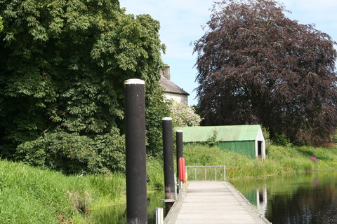
The pontoon at Kilconny
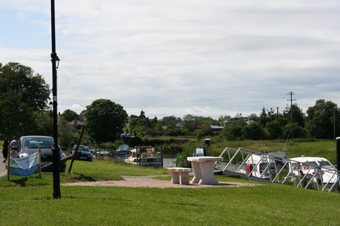
Most boats moor further downstream.

The main mooring area
Modern moorings at Belturbet 1
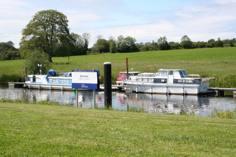
Modern moorings at Belturbet 2
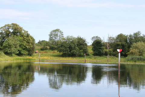
Looking downstream from Kilconny

Looking upstream to the bridge and the end-of-navigation sign

The Kilconny pontoon from the quay
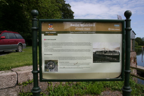
One of two information boards at Kilconny
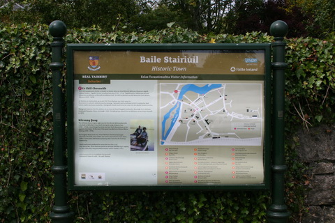
The second information board at Kilconny
One of the photographs is of the SS Belturbet, which used Kilconny Quay. According to George E Morrissey in Belturbet, Co Cavan: a chequered history [self-published; no date given; available here], drainage schemes have lowered the water level by up to eight feet since the steamers ran.

Woodford Explorer
I was told that the white cruiser tied on the opposite bank was a trip boat called the Woodford Explorer. It’s mentioned on this page and on this one but it is not on the current [19 April 2015] Marine Survey Office list of Passenger Boats Currently Licensed [PDF]. If it is still operating, I would be grateful is someone could let me know by leaving a Comment below.
The 25″ OSI map shows more places for boats further downstream: a quay and two landing places, one of which is now part of the modern mooring place with pontoons.

More berths downstream (OSI ~1900)
The quay appears to be on the site now occupied by a slipway at what is called Ducking Stool Jetty, a name that does not appear on either of the older OSI maps.
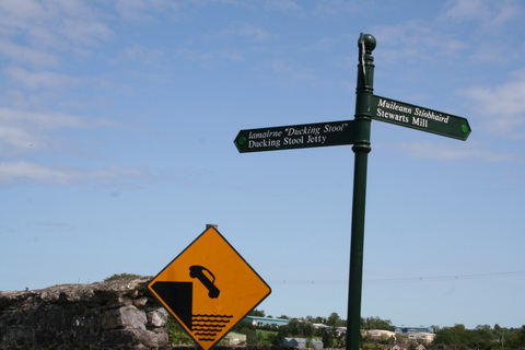
Signpost to Ducking Stool Jetty

Slipway at Ducking Stool Jetty
The second landing place is yet further downstream, where the river bends to the north.

The second landing place
I then went upstream towards the site of the distillery shown on the 6″ OSI map.
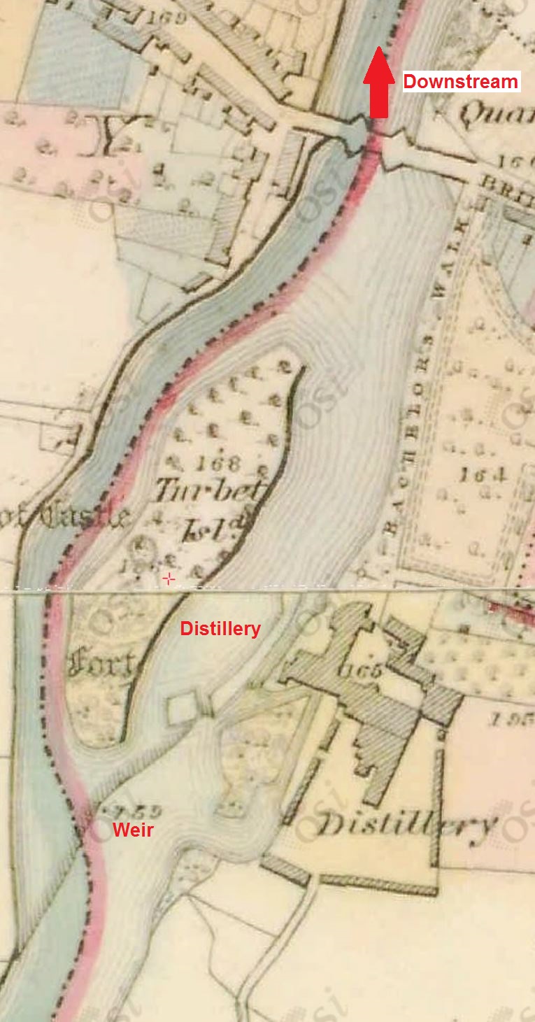
The distillery (OSI ~1840)

The absent distillery (OSI ~1900)
The distillery had closed in 1885. There is a brief history here, drawn from George Morrissey’s book.
I wonder whether some of the Erne Vale buildings, on the distillery site, were built for the distillery.

Erne Vale 1

Erne Vale 2
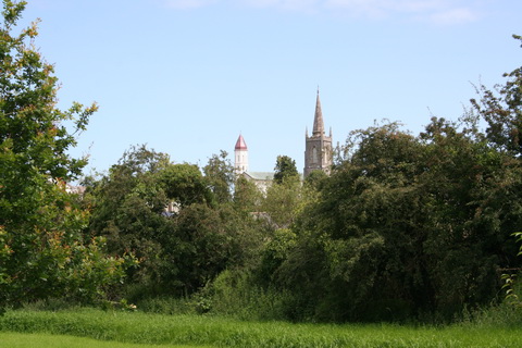
The spires of Belturbet

Could this be part of the distillery weir?
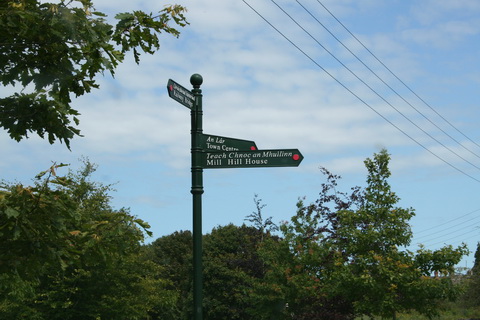
IH signpost
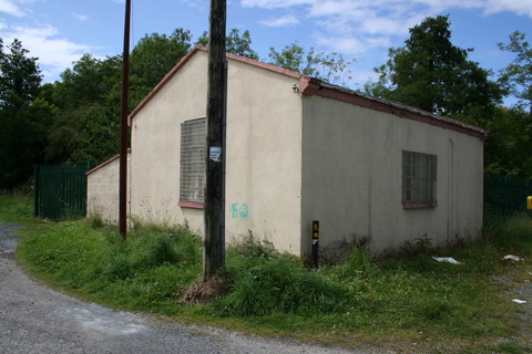
This building on the river bank might be a pumphouse

According to a caption in George Morrissey’s book …
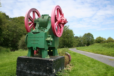
… this is a stone crusher, originally bought for Castle Saunderson …

… and bought by Cavan County Council at public auction

The Cavan & Leitrim Railway bridge over the Erne

The bridge
There is more information about the railway at the Belturbet Railway Station, which I did not have time to visit. Its page here says
The station served as the connecting point for the Great Northern Railway broad gauge and the Cavan and Leitrim Railway narrow gauge railway lines and accommodated both railway companies until its closure in 1959.
That will cause pain to at least one person I know, but happily these chaps get it right.
Here is a page about the Belturbet-built dredger used during the construction of the Junction Navigation in the Ballinamore and Ballyconnell Drainage District, later the Ballinamore and Ballyconnell Canal and now the Shannon–Erne Waterway.
![]() [wut/jn40]
[wut/jn40]


I wonder who that chap is ;). The IHAI visited Belturbet at the start of the century and our guide from the local development group also told us that the piece of equipment in question was a stone crusher.
Maybe it could be brought into use in some way for Saunderson’s Sheugh. bjg
A unique historical work, you can thank the author only warm
Nice one George. Where can I get your book.