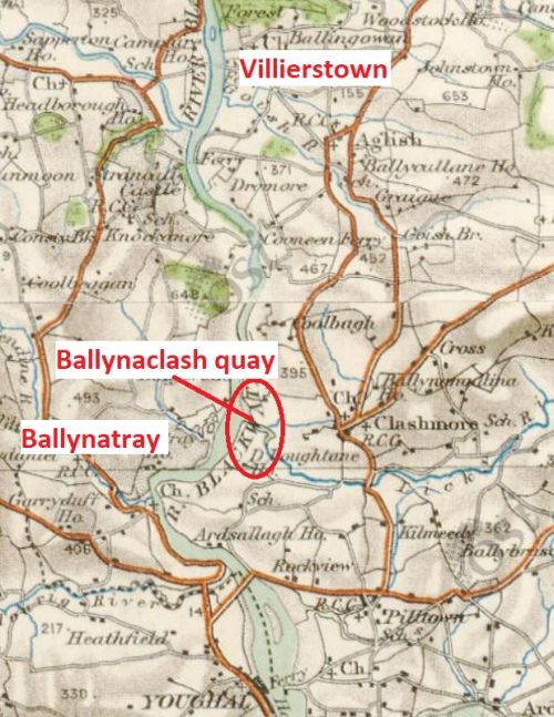
Ballynaclash is another of the standard quays serving the import and export trade. It’s further upriver than Ballynatray and on the east bank.
Ballynaclash quay (OSI 25″ ~1900)
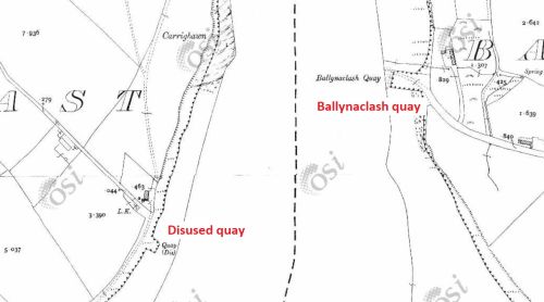
A close-up of the 25″ (~1900) map shows a disused quay on the opposite bank
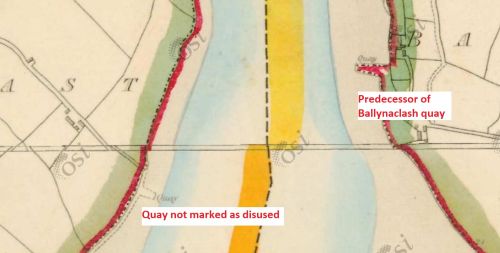
The earlier 6″ map (~1830s) shows the same quay, but it wasn’t disused at the time
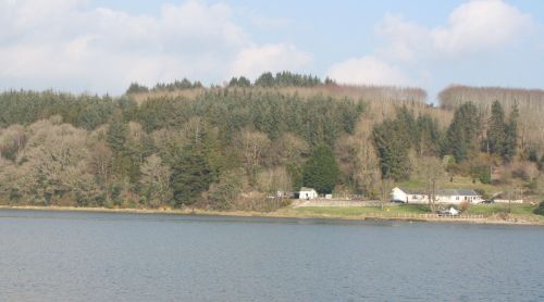
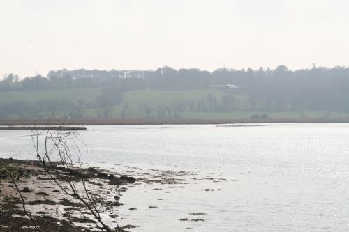
This is a photo of Ballynaclash quay taken from the opposite bank, where I reckon the old quay was, but there is a slipway there now
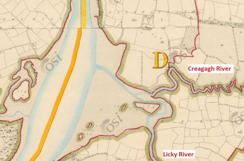
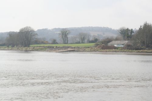
Two rivers join the Blackwater just downstream of Ballynaclash
A bollard!
Another bollard!
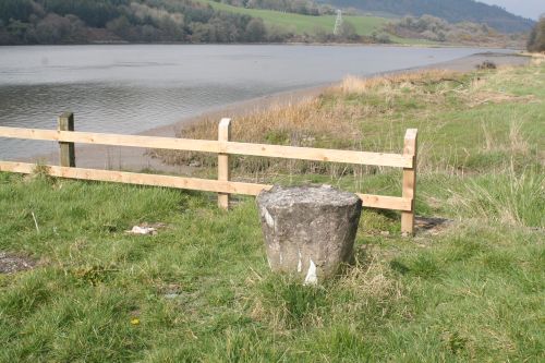
A third bollard
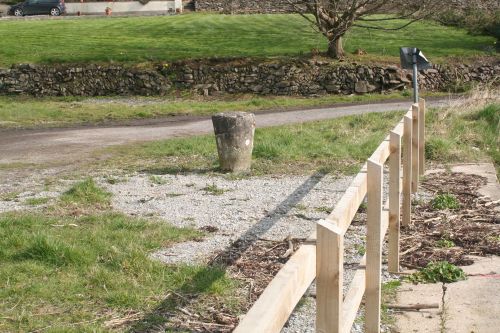
And a fourth
The bollards are more in keeping with what would be expected for quays at which seagoing vessels tied up: the rings, which are all that remain at Villierstown and Dromore (or all that my photos show), don’t seem substantial enough to hold large sailing vessels.
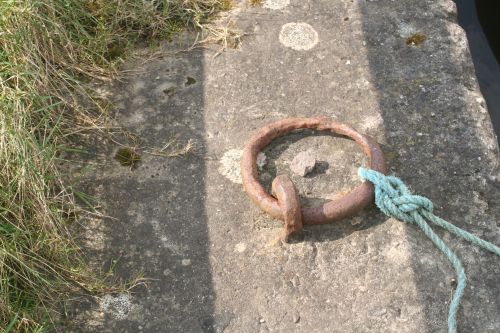
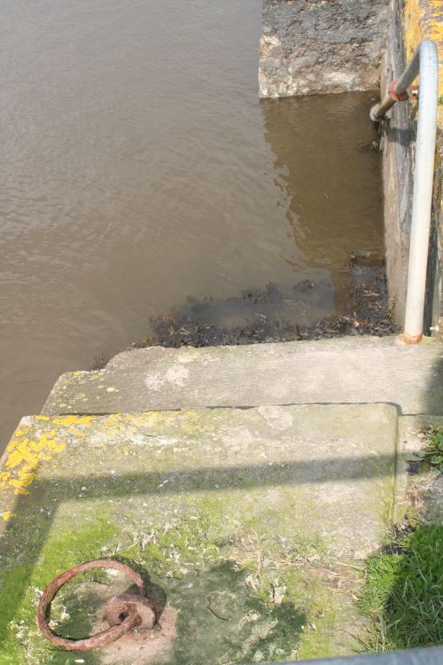
Ballynaclash has rings too …
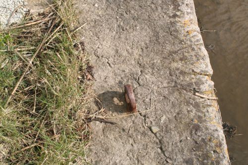
… though some are missing …
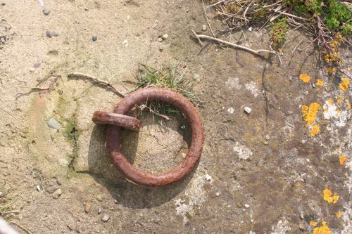
… and some look as if they have been reset
There are steps …
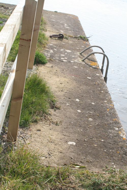
… and a ladder
The slip at Newport East
I can’t remember noticing, and my photo doesn’t clearly show, whether there is a slip there (as at Dromore and Villierstown)
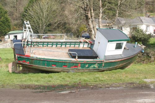
This would probably need a crane to launch it
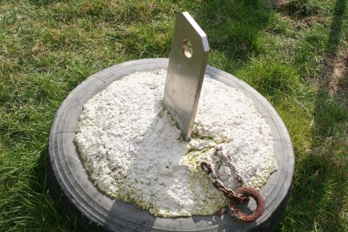
A mooring in preparation
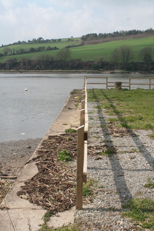
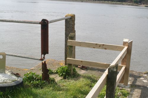
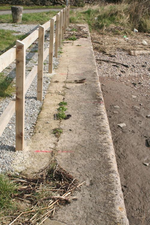
The downstream edge of the quay
Reed beds downriver
Repair needed. I don’t know who owns or manages the various quays
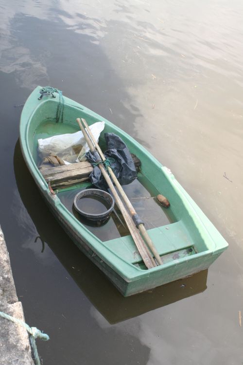
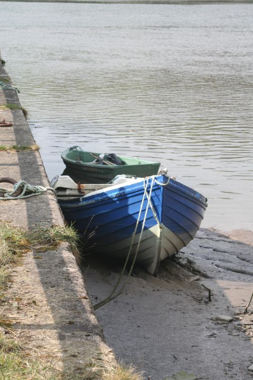
Small boat afloat
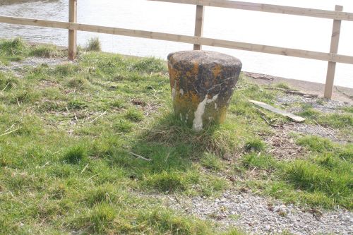
Bollard in close-up
The open road
![]()
Next: Raheen

