The photos on this page show the River Blackwater and the Ulster Canal around Benburb. The photos were taken by, and the copyright belongs to, Cathal Coleman, who has kindly permitted me to use them here.
Cathal said:
We didn’t have a lot of time, as we were there on the 20th December when light is not at its best. That said the day was fine and excellent for walking.
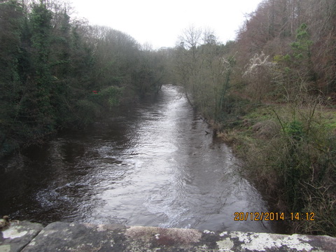
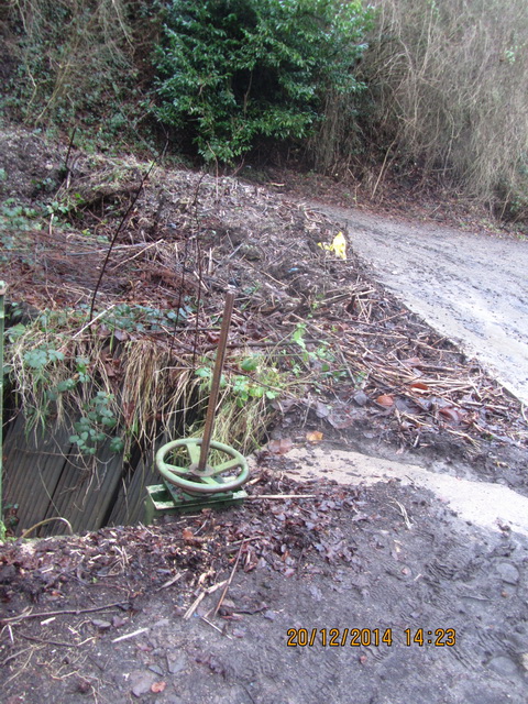
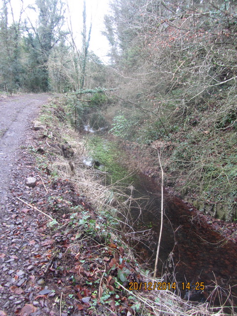
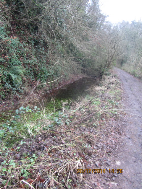
We ‘engaged’ at Benburb and followed the waterway (mostly) through the grounds of the Servite Priory. It comes and goes and has some remnants of locks at various stages. We followed the canal from the bridge below the Priory into the grounds and out the far side and looked down from a height on the river below, surrounded by disused mills, with the canal running alongside.
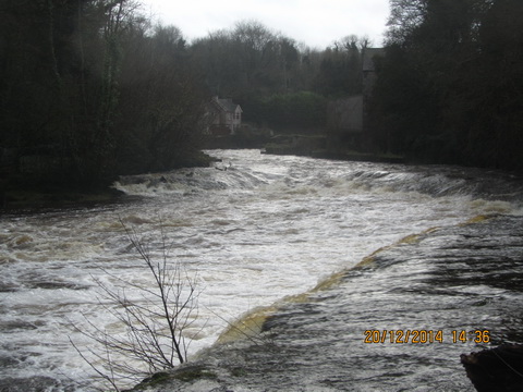
The canal here runs alongside the mighty Blackwater which is a truly impressive river; indeed if one had no interest in canals and was walking this stretch the commentary would focus on the river, because in comparative perspective, the canal is insignificant.
This is the Servite Priory, whose entrance you can see in the first photo. Benburb Valley Park is mentioned here, but I can’t find a website or web page devoted to the park itself; nor can I find a map of the park.
Furthermore, the Benburb Valley Heritage Centre is sufficiently wide awake to be in ERIH, but again I can’t find a website for the centre itself. If anyone can point me towards appropriate websites, do please leave a Comment below and I’ll add links.
The OSI 6″ map, from around the 1840s, is not of much use here and the later maps are not available to folk in the republic via the OSI site. I have therefore two suggestions. First, use the Google map in Satellite view; this may work:
Second, you could try the OSNI Map Shop ACEmap gadget here. Enter “10” for Building name or number, “main street” for Street or road and “benburb” for Town or village. Don’t bother with the postcode; click on the looking-glass and you should get something usable. You don’t have to go any further: there is no need to do anything foolish like spending money.

1. Servite Priory entrance
2.

3.

4.

5.
6.

7.

8.

9.
10.

11.
12.

13.

14.

15.

16.

17.

18.

19.

20.

21.

22.

23.
24.

25.

26.

27.

28.

29.

30.
[wut/uc40]


Brian
The Benburb Valley Heritage Centre is closed and unlikely to be back. The IHAI managed to wrangle a visit to it in May this year and it is in a sad state of internal decay.
Oh dear. Thanks for the update. bjg
None of the photos are of the actual canal but the priorys water race for their hydropower which was never commissioned, canal is on other side of the river where they had a huge engineering problem cutting through stone 46ft down in one part. Well worth another look out the other side.
Thank you. bjg