The quay at Villierstown seems to be the most-used of those along the Blackwater, perhaps because it’s close to the village of the same name or because it’s conveniently positioned about halfway along the river.
Here are some photos of the village.
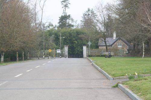
The gate leads to the Dromana Drive, which is a public road through a Coillte forest that used to be part of the Villiers-Stuart estate
Here is some information about the Coillte forest and walks and here is some about Dromana House and gardens.
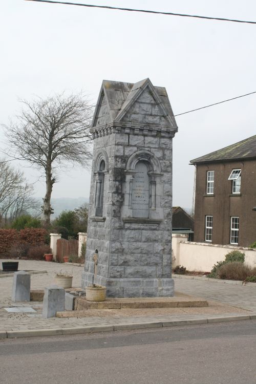
This memorial to Mary Villiers Stuart (d 1907) is a fountain
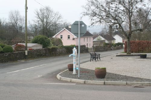
If the fountain isn’t working, you could try this pump …
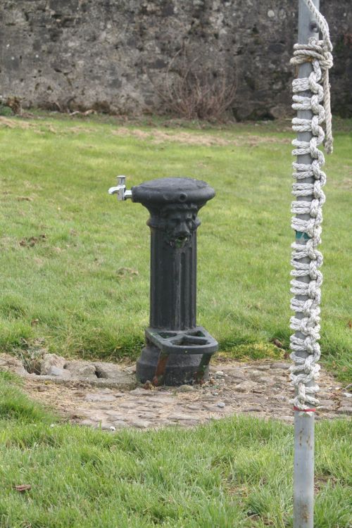
… or this one. Someone had been practising tying knots on the pole
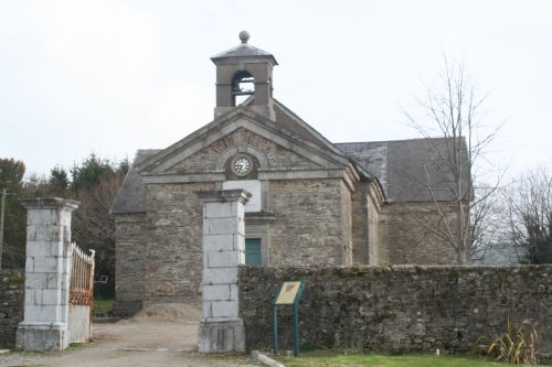
Villierstown former church, now an arts and community venue
More on the Villierstown church here (an interesting history) and here (facetweet, alas).
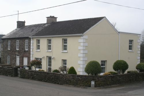
Corner building
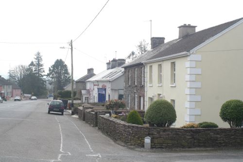
Wide street
And so back to the water.
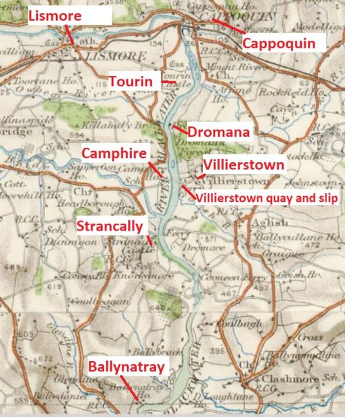
Villierstown is roughly half way down the river from Cappoquin
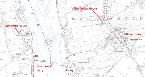
Villierstown quay is opposite Camphire slip
Camphire slip is on this page.
There was evidence of much watersports activity at Villierstown (although nothing was happening when we were there, which was in March).
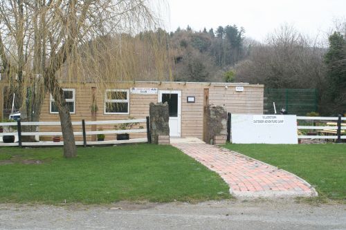
Sailing club premises
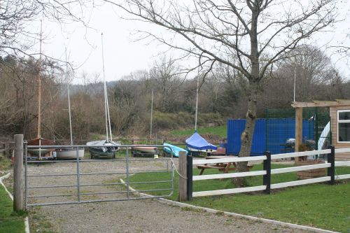
Dinghy park
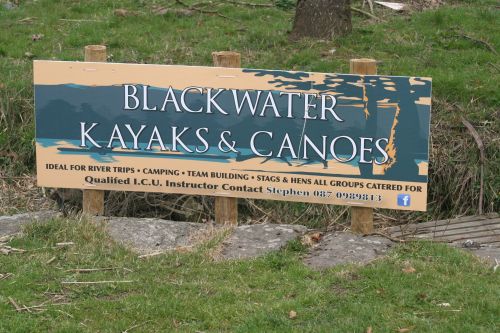
Kayaking and canoeing
On our boat trip we had seen swimmers and jetskiers as well.
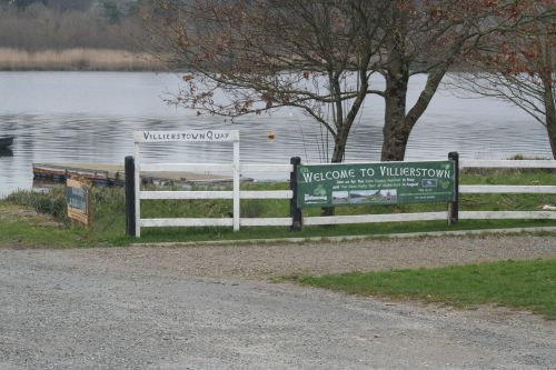
Someone had bothered to put up a Welcome sign, which was nice
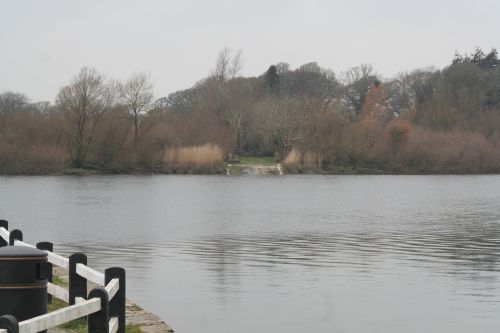
Camphire slip on the opposite bank

Villierstown slip and quay
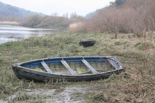
Boats ashore further up the bank
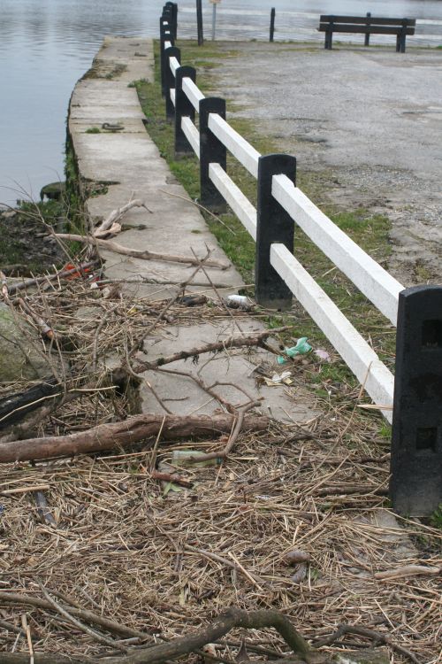
The downstream side of the quay with lots of rings

A second slip, perhaps with a floating section at the far end
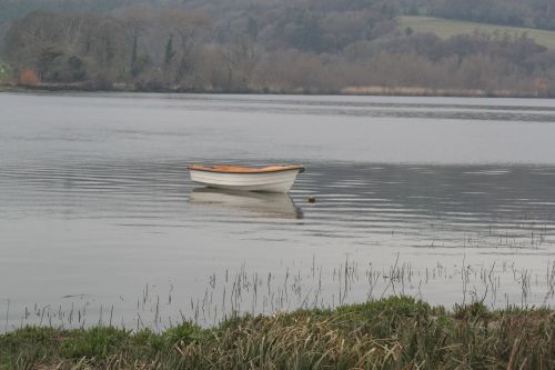
A boat, afloat
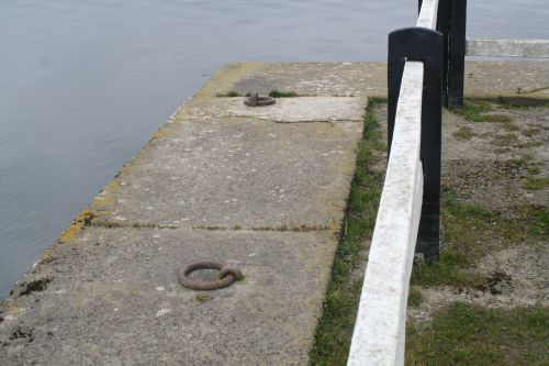
More rings. No sign of bollards. In commercial days, did the schooners and other vessels use the rings or were there stone or wooden bollards?
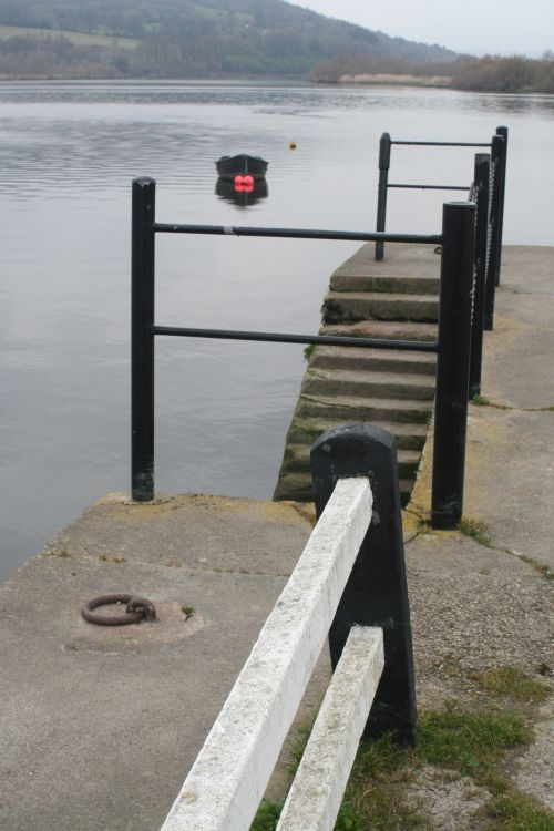
Steps
![]()
Next: Dromore

