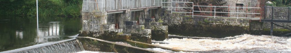
O’Briensbridge is a village in Co Clare, islanded between the headrace of the Ardnacrusha hydroelectric power station and the River Shannon. Up to 1929 the river was the navigation between Limerick and Lough Derg (and eventually Dublin), and the bridge itself was something of an obstacle to navigation.
In 1832 the engineer Thomas Rhodes drew a sketch of the bridge with 14 arches, whereas nowadays it has only 12. We know when the seven arches on the Co Limerick side were reduced to six, but it has not been clear when an arch was removed from the Clare side. I think I know the answer; you can read it here.

