Category Archives: Forgotten navigations

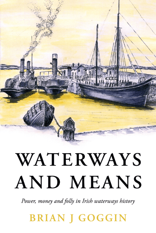
Waterways and Means – available now

Waterways and Means is a selection of writings mainly on the late 18th and 19th century, a boom period for Irish waterways. HM Treasury had cash to burn and influential Irish MPs were keen to bring that money home in the form of infrastructure investment.

As navigation by water became faster and easier, new possibilities opened up: fresh eggs and bacon to Liverpool for breakfast, a ready supply of turf to Limerick to fuel the distillery, bogs drained for arable land, and fast, comfortable trips to Kilkee to take the sea air.

Based on a collection of Brian’s extensive research and writings on Irish waterways, this book tells the story of those improvements and of many diversions along the way: waterways which were never completed, debauchery in the canals of Dublin, cargoes stolen, workers on strike and boats sunk.

Where to buy the book

Ireland

You can get Waterways and Means directly from 2 sources in Ireland

UK / elsewhere

Outside of Ireland you can get the book directly from Anne Goggin by emailing waterwaysandmeans@gmail.com with your order – please include your full name and address. Payment will be arranged via Paypal.

Monivea

In my page about the Monivea navigations I wrote that I would be glad to hear from anyone who can provide more information about them, past or present.

Marian Hardiman has very kindly put up photos of the flax mill and a windmill near Monivea on Facebook.

She also drew my attention to the excellent site of Skehana & District Heritage, which is packed with interesting articles. A search said that there were 158 on Monivea alone.


Around the Blackwater

That’s the Munster Blackwater. For some time I have had a page about it here, based on a boat trip from Youghal to (and a little beyond) Cappoquin and on road trips to the Bride and the Lismore Canal.

I thought it would be useful to visit the Blackwater by road, driving around the lower portion from Cappoquin to the Youghal Bridge and back again to visit the various quays and to see what could be seen from the land rather than the water.

I have put up a page here; it has links to individual pages on the places we visited (with photos). You can move from place to place on that page or follow the links on the bottoms of the individual pages to follow a clockwise route around the lower Blackwater from Cappoquin to the Youghal Bridge on the east side and back up on the west side.

The Hind before

A new piece by The Antiquarian about very early works on the River Hind.

As well as the link here, I have put a permanent link from my own page on the Hind.

Broadstone addition

Thanks to Pat Conneely for this photo of the Broadstone station and the Royal Canal. I’ve added it to my page on the Broadstone Line of the Royal Canal.

The Broadstone station before the canal harbour was filled in (photo courtesy Pat Conneely)

The photo must have been taken before 1877, when the harbour was filled in.


The Munster Blackwater

I am in the process of adding some pages with photos of the Munster Blackwater. These are photos of the water from the land, whereas my existing page shows the land from the water. While I’m working on this, incomplete pages may appear hither and yon; ignore them and wait for the announcement of the completed work.

Sligo Ship Canal

Good article here.

Limerick Navigation

This week’s Clare Champion [7 February 2020] has an article about the Limerick Navigation on the front page  of the Living section. It’s not available online, unless (I suppose) you subscribe to the digital edition.

Makes a change from the election, I suppose.

Limerick Navigation

Last week’s talk at the Killaloe Ballina Local History Society, on the subject of the Limerick Navigation, was recorded by Scariff Bay Community Radio; a podcast (1 hr 13 min 11 sec) is available here.

The Limerick Navigation: a talk

Killaloe–Ballina Local History Society, 15 January 2020, Lakeside Hotel, 7.30pm (more info).