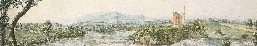
I don’t know whether there is any official award scheme for contributions to historical research but, if there is, I reckon Ordnance Survey Ireland should get one. By making available, free, online versions of the OSI 6″ [~1840s] and 25″ [~1900] maps, they have provided amateur historians with an invaluable resource.
Using their public viewer, you can go to somewhere like Lecarrow, on Lough Ree, and look at what it was like before the Famine, around the start of the twentieth century or, using the Ortho options, in 1995, 2000 and 2005. As well, of course, as a bang-up-to-date map of Lecarrow today.
The most recent map was updated recently and the site fell over altogether for a while, then operated without the historical maps for another while. I suspect that I wasn’t the only person to realise, while it was down, how valuable the site was (and how far superior, at least for historical study, to the godawful Ordnance Survey of Northern Ireland version).
So big it up for Ordnance Survey Ireland: delighted it’s back up again.


Agree with you 100% on all counts. Fascinating insights. And I missed it over the past few weeks and noted the absence of the historical maps on the revamped site.
And yes, the N.iI. And the U.K. offerings are pathetic.
The addition of Google Maps and Google Earth with their own option of historical street views really spoils us.
I haven’t seen the historical views in Google Maps, perhaps because I’m confined to the Lite [sic] version. bjg
Hi Brian,
Checked it again today and all appears to be back as was. Thanks for the PM advising me. I have updated my earlier post to reflect this.
Good oh. bjg
If you can’t access The OSI site for any reason, it’s worth taking a look at the site below:
https://www.buildingsofireland.ie/
It has a range of OSI maps, similar to their own site, and two colour satellite choices, and the bonus that it shows the location of thousands of buildings of architectural buildings interest, and archaeological sites. Usually includes history notes and photos of buildings.
Use the “Search Surveys” and “Map Search” buttons to go to the maps, pull down the menu to show the Map options
Great; thanks for that. bjg