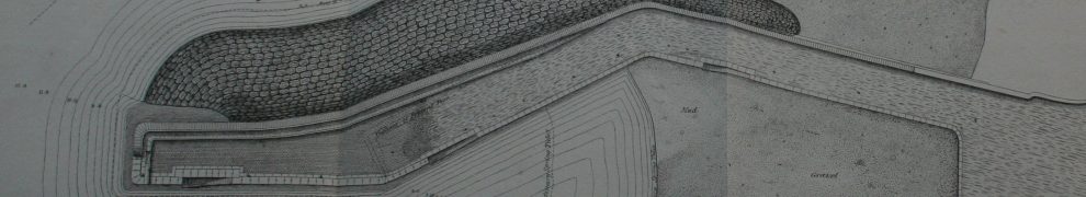
See here for a slightly more detailed view from 1847. The third dry dock, at the junction with the main line, is here.
Mallett’s Insistent Pontoon is shown here marked “floating bridge”; the map also shows the drawbridge that featured in the attempted murder of Henry Garnett.


What a fascinating set of maps How on earth did you find them ?
There are quite a lot of old maps on tinterweb. Dublin Port has a very interesting collection https://dublinportarchive.com/gallery/historical-map-collection/, and then there’s the David Rumsey collection https://www.davidrumsey.com. Dublin CIty COuncil has some here http://www.dublincity.ie/main-menu-services-recreation-culture-dublin-city-public-libraries-and-archive-heritage-and-histor-5. There’s this http://www.oldmapsonline.org/en/Dublin_Region. And here’s another I came across recently https://www.swilson.info/index.php
Hours of innocent enjoyment.
bjg