Tag Archives: Montpelier

Killaloe to Limerick Docks via Ardnacrusha

Join the ex-Grand Canal Company motor-barge 68M on its trip from Killaloe to Limerick Docks, carrying barrels of stout for Dolan’s Pub. The trip marked two occasions: Arthur’s Day, the annual Guinness marketing opportunity, and the fiftieth anniversary of the last commercial cargo on the Grand Canal and the Shannon, which was a shipment of stout to Limerick.

This page provides a slide-show of 300 photos taken from 68M on its journey. If you can’t make the trip in person, do it this way.

Note that the page takes some time to load. And, even clicking through pretty fast, the show is likely to take at least ten minutes.

Click on the first photo to bring up the controls. If you have any problems with it, leave a Comment to let me know. I haven’t done this before. I may not be able to fix any problems, but I can at least look into them.

Who took the arch? A Shannon whodunnit

O’Briensbridge is a village in Co Clare, islanded between the headrace of the Ardnacrusha hydroelectric power station and the River Shannon. Up to 1929 the river was the navigation between Limerick and Lough Derg (and eventually Dublin), and the bridge itself was something of an obstacle to navigation.

In 1832 the engineer Thomas Rhodes drew a sketch of the bridge with 14 arches, whereas nowadays it has only 12. We know when the seven arches on the Co Limerick side were reduced to six, but it has not been clear when an arch was removed from the Clare side. I think I know the answer; you can read it here.

The barge at Plassey: seeking experts on iron

On my old photographic website I had a page of photos of an abandoned barge at Plassey, on the River Shannon. I have now moved those photos to here and added some text.

I am hoping that someone expert in old iron barges might be able to make a guess at the age, and perhaps even the origin, of the barge. I will, in the meantime, be trying to pin down the date of its abandonment.


Anguilla anguilla: the ESB eel fishery

This photo shows an eel spear from the National Folklife Collection‘s overflow material, stored in the former “reformatory” at Daingean, on the Grand Canal in Co Offaly. There were many spears there, with different designs from different rivers. This one, to judge from the label underneath it, came from the extraordinarily prolific and observant Dr A E J Went.

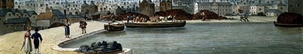
If you look at pretty well any Irish river on the 1840s Ordnance Survey map (here’s the Shannon at Killaloe; switch to Historic 6″ if necessary), or indeed on the 1900s map (same URL but switch to Historic 25″), you’ll find evidence of eel weirs. Ireland’s shortest canal was built to allow the eel-boats of Anthony Mackey’s fleet to reach the trains at Banagher.

But the European eel is a “critically endangered species” and all eel fishing has been banned in Ireland. As far as I know, though, the Lough Neagh fishery, in Northern Ireland, continues.

The Electricity Supply Board (ESB) is in charge of the eel fishery on the River Shannon. It has nets and a storage unit (packing station) at Killaloe and, until recently, it also had nets at Clonlara on the headrace supplying the power station at Ardnacrusha; the Clonlara nets have just been removed. This page is about the Clonlara and Killaloe operations, but includes a look at an eel survey conducted for the ESB in 2008, before eel fishing was banned in Ireland. The aim now is to make it easy for eels to reach the sea to reproduce, and that sometimes involves “trap and transport”: catching the eels and moving them past obstacles, whether on their way to the sea or, for the young glass eels, on their way upriver.

The photos on this page are a tribute to what was an important activity on the Shannon. I hope that the European eel stocks can recover.

John’s Canal in Macnab’s Bog, Castleconnell, Montpelier and O’Briensbridge

Here is a page about John’s Canal, which was used to extract turf from Macnab’s Bog at Mona Lodge, Portcrusha, between Castleconnell and Montpelier in Limerick (Montpelier is at the other end of the bridge at O’Briensbridge).

The bog seems to have been opened by John Brown (or Browne) of the Stein Brown(e) Distillery at Thomondgate in Limerick. Turf was carried by water from the bog to the distillery, where it was used to fuel the first steam engine in Limerick. The bog was managed by James Macnab, who took over the lease in 1841; after his death his son Alexander Allen Macnab took over. The bog was an early operation of a managed industrial extraction and production enterprise, operating throughout most of the year and drying the material to produce “stone turf”. About 5000 tons were produced each year.

The canal system had a wooden bridge (now vanished), several branches (some still visible), a lock gate (gone) and a stone pier/quay (still visible).