The Abbey River
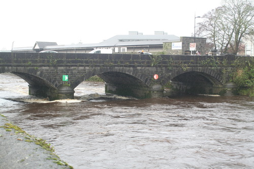
Abbey Bridge
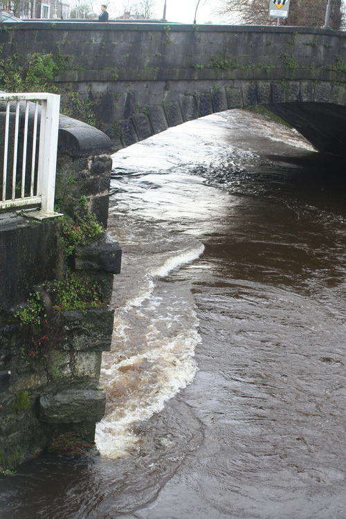
Baal’s Bridge
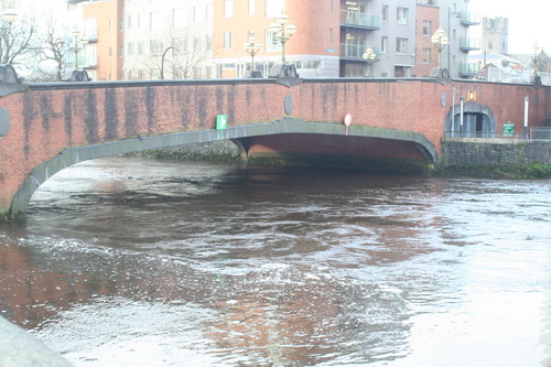
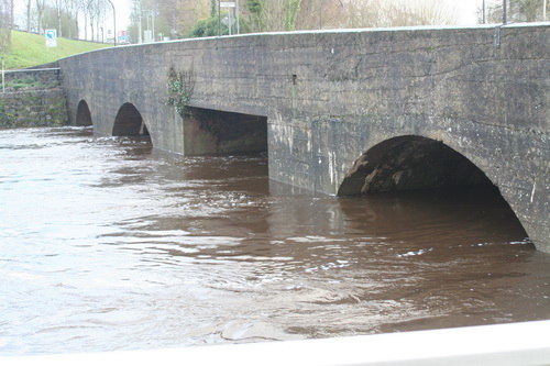
Mathew Bridge
Current heading for Mathew Bridge
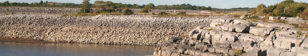
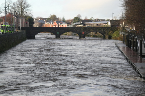
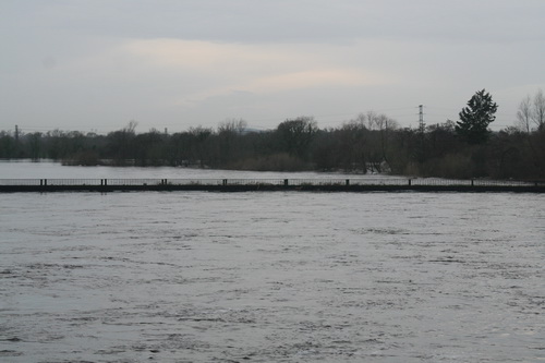
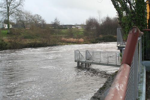
The Shannon in Limerick
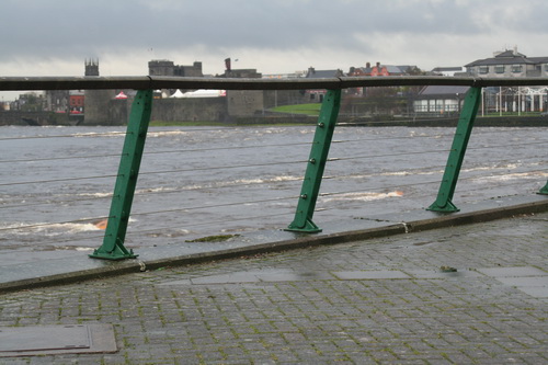
The weir
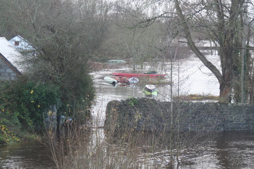
Plassey
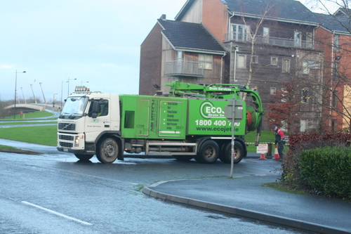
Lots of pumps running and equipment trundling about the place
Trouble at t’mill
T’millstream
Cots on the bank
The Black Bridge getting another hammering
Annacotty
I have been told that the Mulkear River rose very rapidly on Saturday night and that, at one time, it was feared that the (older) bridge would be swept away. I gather that folk working in other areas were called to Annacotty to deal with the emergency.
The old bridge at Annacotty (downstream face)
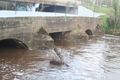
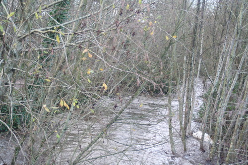
A tree in the water above the bridge
There’s a weir in there somewhere
The Mill Bar in Annacotty was closed today after being flooded.
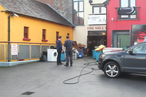
The Mill Bar
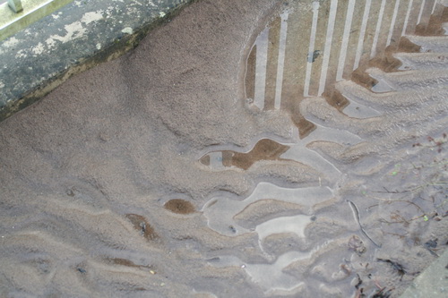
This, from a small garden beside the bridge, suggests that the Mulkear may have carried and deposited a lot of silt
The Park Canal
I gather that the Mulkear’s waters, added to those of the Shannon itself, raised the level of the Park Canal (the bottom section of the Limerick Navigation). A problem with opening the lock gates, to release the water, meant that a few houses in Corbally were flooded. A Sinn Féin councillor, whose party colleague has been responsible [with her southern counterpart] for slashing Waterways Ireland’s budget in recent years, is quoted as saying
I am in no doubt it was primarily caused by the ineptitude of Waterways Ireland.
Alas, the news story does not tell us the source of the councillor’s certainty.
The article also says that
[…] the force of this water meant it was not possible to open the lock gates by hand.
That is, I think, misleading: neither set of gates has gate beams, so they are not opened by hand.
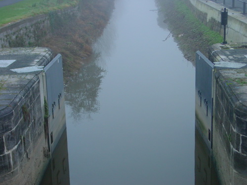
The upper gates in 2004, shortly after installation. Note the absence of gate beams. Note also the two sluices or paddles on each gate
Control pedestal and gear
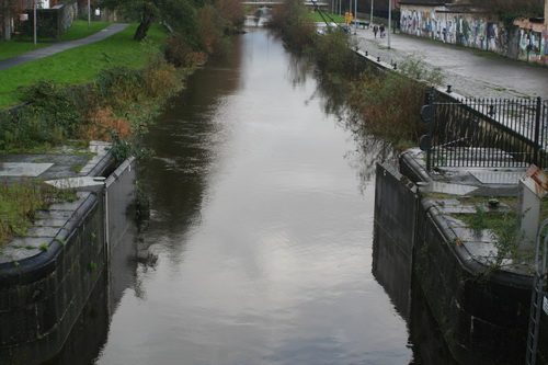
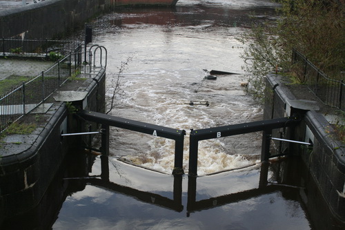
The upper gates open today
I see no sign of the paddles or sluices. Perhaps the level is so high that they’re underwater. I must try to check next time I’m at the canal harbour.
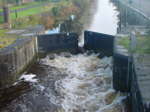
The upper gates in the floods of 2009
In the floods of 2009 the upper gates were held slightly open and all four sluices were discharging water. That would have lowered the level in the canal; it would also, I think, have made it easier to open the gates fully.
I am guessing, but I imagine that on Saturday night some sort of hydraulic machine was brought in this way …
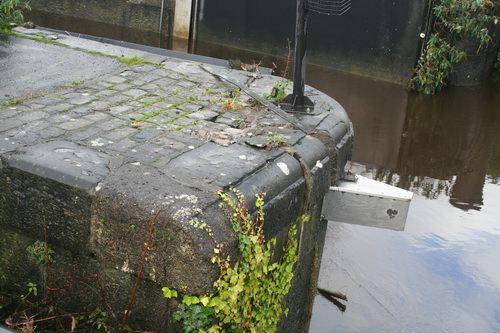
Two bollards have been moved from the gateway and stacked beside it
… and used to push or pull open the near-side upper gate. There seems to be some slight damage to the stone and iron work.
Slight damage
One other possibility that struck me is that silt from the Mulkear might have built up behind the gates, making them difficult to open, but I have no evidence on the matter.
The lower gates
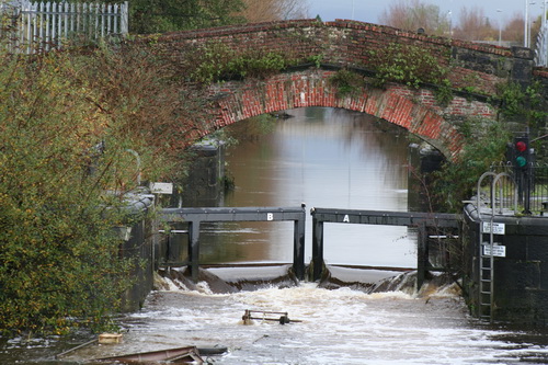
From the outside looking in


