Messrs RPS, consulting engineers, have been asked by South Tipperary County Council
… to design a minimal impact walking & cycling greenway route along the towpath of the River Suir between the towns of Clonmel and Carrick-on-Suir.
I have written about this stretch of the river here, so I was pleased to be asked to submit some comments and I welcomed the proposal. I made three suggestions, commenting more on principles than on details, which local people would know more about than I do.
First, I said that the heritage artefacts along the route should be protected and, if possible, explained. That might be done unobtrusively by making online information available to those equipped with smartphones. Such systems are used by the Canal & River Trust in Britain (here’s an example) and I understand that there have been experiments in using them on the Royal Canal here.
Second, I said that use by walkers requires more than a good trail: walkers also need safe parking places for their cars and information about public transport services that will return them to their starting-points. Car parks themselves need not be along the greenway but the information has to be provided there.
Third, there is scope for more use of the waterway itself, especially by canoes, kayaks and rafts, as well as by anglers. While such uses are (I imagine) outside RPS’s brief, I thought that it would be better to take account now of the needs of such users, and to ensure that the engineering would be able to cater for them in the future (I was not proposing that facilities necessarily be provided now), rather than to have to re-engineer the greenway later. My main concern was provision for enhanced access by rescue services, and Carrick-on-Suir River Rescue would probably be the best people to comment on that. I also suggested that a certain amount of unobtrusive hard edging along the towing-path might be of assisstance to boaters.
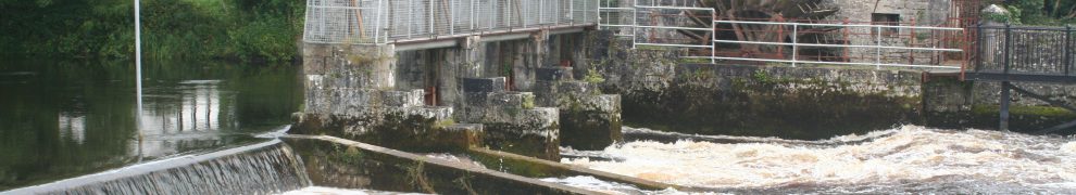
If you’ve looked at my page on this section of the Suir, you’ll know that it’s very scenic. Up to now, not all of the route has been accessible and making it so is a Good Thing — and at relatively low cost.


May it be the first of many. Personally, I would like to see a change in planning law (one of many changes TBH) that would require the protection/acquisition of sufficient land on both sides of all canals/significant rivers for such a purpose with anti-squatting provisions that excluded adverse possession of such land corridors.
I am glad to tell you that, on the Suir and certain other rivers in the south-east, His late Majesty King Henry the Eighth made just such a provision. I have a copy of the act somewhere. bjg
Waterford County Museum has a good town trail app for smartphones that could also be used for heritage information along the towpath as you’ve suggested, see:
http://www.waterfordmuseum.ie/exhibit/web/Display/article/377/6/About_Waterford_Co_Museum_Town_Trail.html
Thanks, Richard: that’s good to know. bjg