
KILLALOE MARBLE WORKS
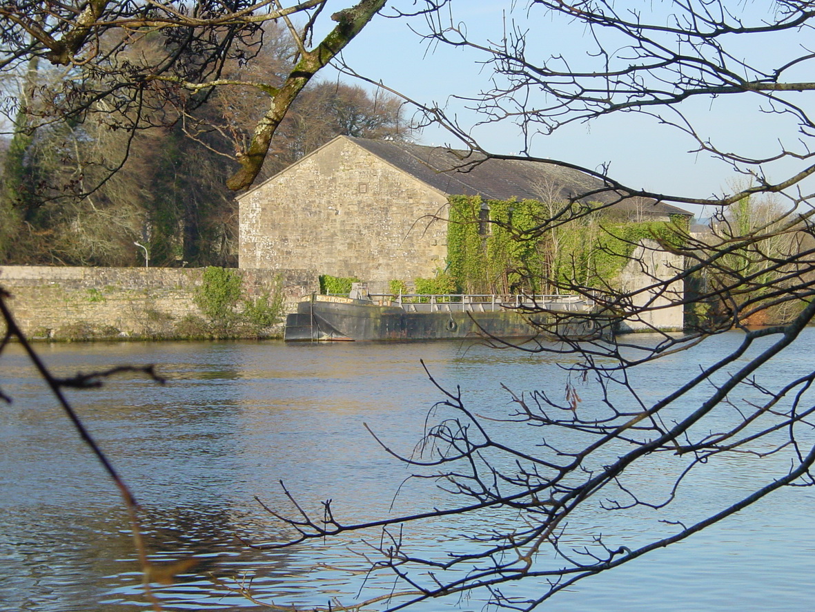
The marble mill in Killaloe
W & W Manderson
Beg respectfully to inform the Nobility, Gentry, and the Public in general, that they have (from their Practical experience) made considerable and most important improvements in the working and Polishing of Marble at the above Establishment, so that every variety of work is executed in a superior style hitherto unprecedented, and which has enabled them to offer at such Reduced Prices, as greatly to facilitate its general use both in public and private Buildings.
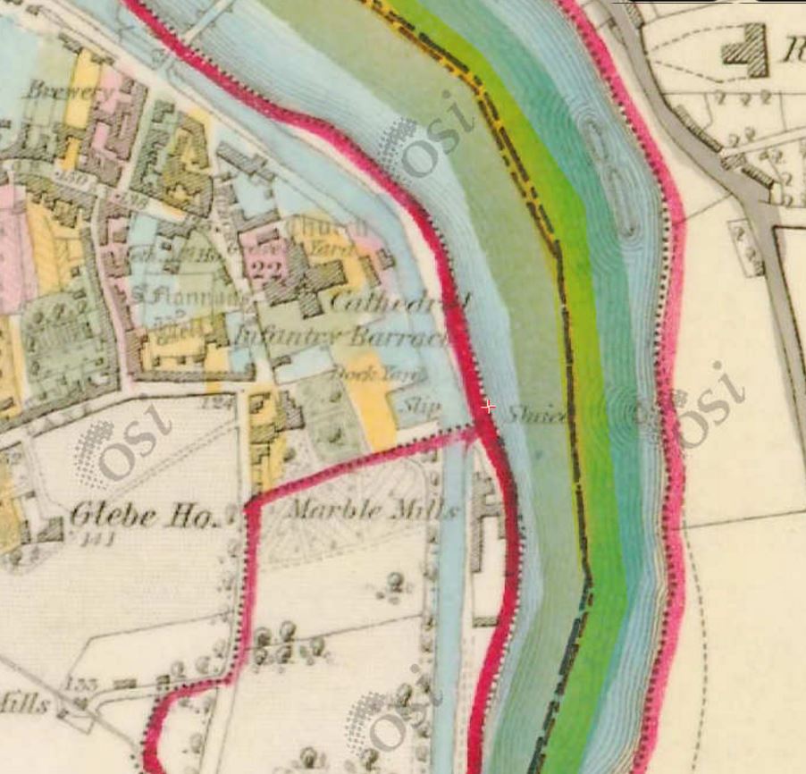
The marble mill at Killaloe (OSI 6″ map ~1840)
They have for Inspection an Extensive Stock of Irish and Foreign MARBLE CHIMNEY PIECES (of various designs, suited for every description of rooms).
In STATUARY, ELABORATELY, SCULPTURED and CARVED, of exquisite designs and good material.
In VEIN, DOVE, BLACK AND GOLD, ST ANN, BURDILLA, SHANNON SIENNA, IRISH PORPHYRY, FOSSILS, GREY AND BLACK.
MONUMENTS, TABLETS, COLUMNS, BUST PILLARS, WASH AND DRESSING TABLES, TABLE TOPS, BATHS, PAVEMENTS, SLABS FOR DAIRIES, and various other Ornaments.
Also an Extensive Stock of MILL RUBBED, AND SQUARED FLAGS, WINDOW SILLS, BARGE AND EAVE COURSES, TOMB, HEADSTONES, &c &c.
The safe conveyance and fixing of work guaranteed if required.
July 28, 1842
Nenagh Guardian 6 August 1842
![]()


