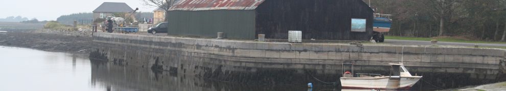
My dry docks overview page had a bad link in it, which was my fault, but I hope that’s now fixed as the Shannon Harbour dry docks

34B in the dock
page is now up. Comments, corrections and suggestions for improvements and additions will be welcome.
My dry docks overview page had a bad link in it, which was my fault, but I hope that’s now fixed as the Shannon Harbour dry docks
34B in the dock
page is now up. Comments, corrections and suggestions for improvements and additions will be welcome.
Posted in Extant waterways, Industrial heritage, Irish inland waterways vessels, Irish waterways general, Operations
Tagged 34B, 59M, acro, boats, bridge, canal, dry dock, gate, Grand Canal, grille, Ireland, Knocknagow, lock, loo, Operations, paddle, prop, rack, Shannon, sluice, Swaine, vessels, waterways, Waterways Ireland, winch
Knock in Co Mayo is well known, having its own airport; Knock in Co Clare is less well known, though it has its own port. Here is a short account of its history, with some photographs, but more information would be welcome.
Posted in Extant waterways, Forgotten navigations, Industrial heritage, Irish inland waterways vessels, Irish waterways general, Scenery, shannon estuary, Uncategorized
Tagged bark yard, boats, Clare, Clonderlaw, corn, harbour, Ireland, Kilrush, Knock, Limerick, Operations, pier, police barracks, quay, sea-manure, Shannon, shannon estuary, waterways, workboat
I’ve added photos of some more wooden boats at the bottom of this page. Some are unidentified; I would welcome information.
Material has been added today to the pages on
See links to the right.
Posted in Extant waterways, Irish inland waterways vessels, Irish waterways general, Operations, Scenery, shannon estuary, The fishing trade, Uncategorized
Tagged Barrow, boats, canal, Cashen, Castleconnell, gandalow, Inishee, Ireland, Killaloe, Limerick, loo, O'Briensbridge, Operations, Shannon, Spirit of Lough Derg, Suir, turf, waterways, Waterways Ireland, workboat
Here is a page for photos in which the main interest is the light. More photos will be added in time.
Posted in Extant waterways, Forgotten navigations, Irish waterways general, Scenery, Uncategorized, Weather
Tagged Ballina, boats, Ireland, Killaloe, Lanesborough, light, Meelick, O'Briensbridge, Portrunny, Shannon, Tarmonbarry, waterways

Ballina and Killaloe May 2010
Posted in Extant waterways, Irish waterways general, Scenery, Uncategorized, Weather
Tagged Ballina, bridge, Clare, Ireland, Killaloe, Lough Derg, Pierhead, Shannon, Tipperary, waterways
… didn’t cross the Rine, which is a river in County Clare, flowing into the estuary of the River Fergus which, in turn, joins the estuary of the River Shannon. The Rine is also known as the Quin and the Ardsollus and its downstream end is called Latoon Creek, no doubt because it flows by the townlands of Latoon North (which is to the east) and Latoon South (to the west). There is a quay there, hidden under one of the three road-bridges that cross the Latoon side by side. Sea-manure (seaweed used for fertiliser) was landed there and Samuel Lewis tells us that fifty-ton lighters were used, but more information is needed about their operations.
Read about it here.
Posted in Extant waterways, Forgotten navigations, Industrial heritage, Irish inland waterways vessels, Irish waterways general, Operations, shannon estuary
Tagged Ardsollue, boats, bridge, Clare, Clarecastle, creek, Ennis, Fergus, fertiliser, Hely Dutton, Ireland, Latoon, lighters, lost, M18, N18, pier. three German officers, quay, Quin, Rine, Samuel Lewis, sea-manure, seaweed, Shannon, turf, vessels, water level, waterways
Tim Boddington has very kindly sent me some photos taken when the lock was being restored. Amazingly, it wasn’t raining at the time. Many thanks to Tim; I’ve added some of his photos to the Tralee page.
Posted in Extant waterways, Forgotten navigations, Irish waterways general, Operations, Scenery, Weather
Tagged Blennerville, boats, canal, Ireland, lock, ship canal, Tralee, waterways
One beneficial aspect of the floods is that there is lots of water for kayakists. Here are some pics taken at Curragour, on the Shannon in Limerick city, on 28 November 2009.
Posted in Extant waterways, Forgotten navigations, Industrial heritage, Irish inland waterways vessels, Irish waterways general, Operations, Scenery, Water sports activities, Weather
Tagged boats, bridge, Curraghgour, Curraghgower, Curragour, ESB, falls, floods, Ireland, kayak, Limerick, Shannon, University of Limerick, vessels, water, water level, waterways, waves
Here are the Sailing Directions for the Shannon Estuary (completed before 1848) and for Lough Erne (1835-6), Lough Ree (1837) and Lough Derg (1838-9). They were compiled by Commander James Wolfe RN, who was one of those who drew up the relevant Admiralty Charts. Like the Charts, these Directions have not been updated, so boaters should not rely on them for navigation.
The Google Books Team have kindly permitted me to extract these from a larger document, which was one of those they had scanned and placed online, and to make them available (free, of course) to visitors to this site. Note that I have omitted part of the description of the smaller Lough Derg, which is not part of the connected waterways system.

