Visiting the Royal Canal at Clonsilla recently, I noted some interesting features of the canal’s stonework. I do not know how old they are or what they were for; I would welcome information from readers.
Clonsilla (Callaghan) canal bridge in the foreground; a railway signal box behind it
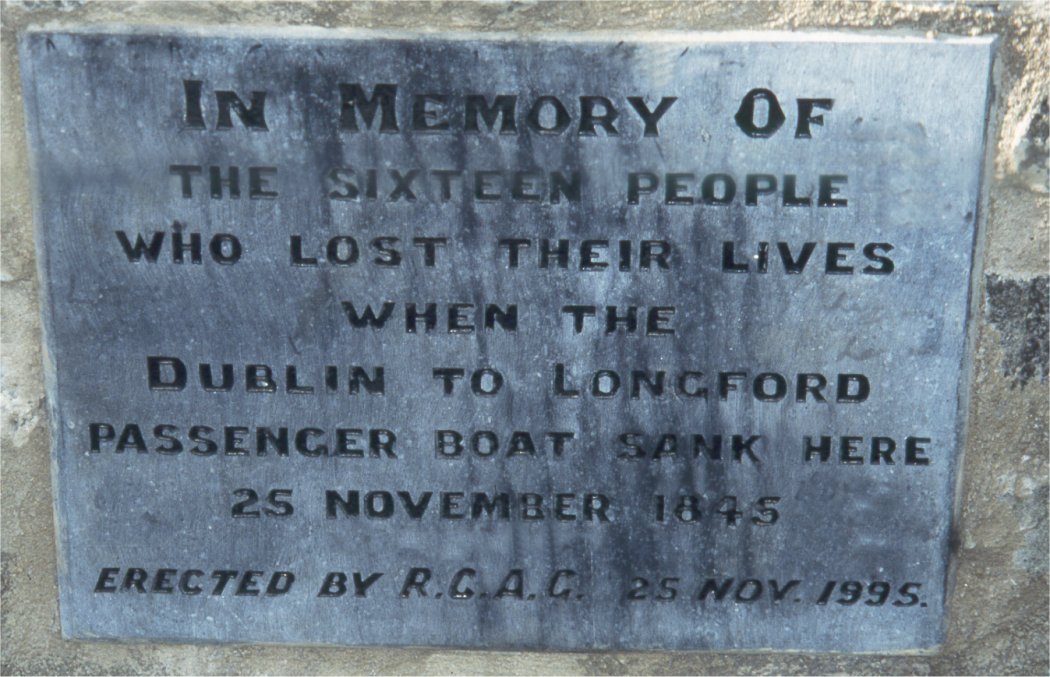
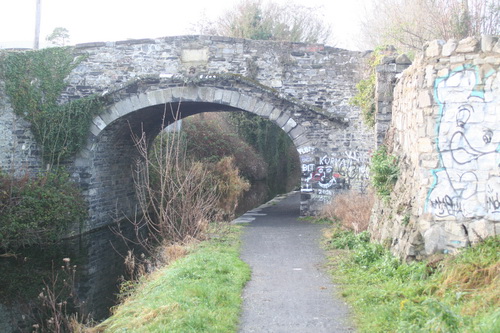
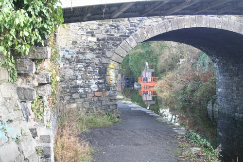
The towpath crossed from the south to the north bank at Porterstown (Kennan) Bridge, just east of this one. The passage boat Longford sank in 1845 between these two bridges; fifteen people died.
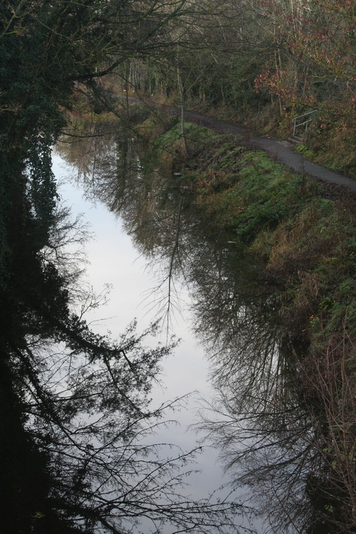
Looking west from the bridge

Clonsilla (Callaghan) Bridge (OSI ~1900)
The Ordnance Survey of Ireland 25″ map of around 1900 shows what looks like a ramp leading up from the towpath, on the east side, to the level of the bridge and the road; the earlier 6″ map (late 1820s to 1840s) is less clear and I cannot tell whether the ramp existed then. However, the recent photograph, taken from the bridge, does suggest that the wing wall of the ramp has been built up, with newer stone, and that much of the area of the ramp has been taken in to the gardens above. This, of course, is speculation on my part and I would welcome clarification (leave a Comment below).
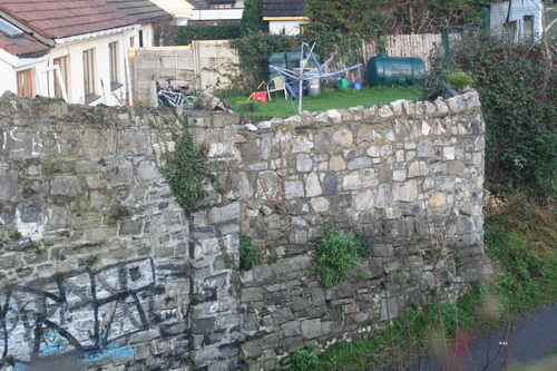
Built-up wall
Note what looks like a very tall gate pillar half way along. I don’t know much about architecture or construction, but the fact that the canal side is vertical makes it look to me more like a gate pillar than a supporting buttress for the wall of the ramp.
The eastern pillar from the towpath
Here’s a close-up. You can also see what looks like the dividing line between the older stone of the ramp, which slopes away from the towpath, and what I assume to be newer stone, built vertically, integrating part of the ramp (presumably with infill) with the garden above.

The eastern pillar from the towpath (close-up)
Here it is looking eastward (away from the bridge).

Looking eastward
There is a similar structure on the west side of the bridge.
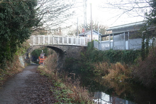
The west side of the bridge with a pedestrian bridge beside it; the railway station is on the right
Here is what looks like the remains of a similar gate pillar.
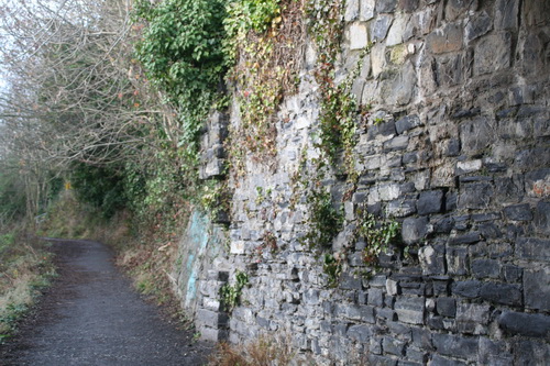
Western pillar (looking west)
Note the vertical face of the pillar against the slope of stones on the embankment,
Vertical face (with missing stones)
These pillars may have some engineering significance in holding up the embankment, but I wonder whether they might have been used to hang gates closing off access to the towpath for some reason. I don’t know whether other bridges have similar arrangements.
Waterways Ireland commissioned a Heritage Survey of the Royal Canal, which is available here [PDF], but that document does not contain any of the details and, judging by WI’s Heritage Surveys page, it does not seem that the “detailed database report” on the Royal will be made available on the WI website. Accordingly, I do not know what the survey says about these pillars.
All information welcome.
Addendum December 2016
Peter Clarke, in The Royal Canal: the complete story Elo Publications, Dublin 1992, points out that, in 1807, there was a passenger service from Dublin to Clonsilla: the six miles cost 1/7½ in first and 1/1 in second class.
Could it be that the passenger station was under the bridge, with access controlled by gates at either end? Horses could have been changed too, with the ramp providing access for horses to the road. Passengers too could use the ramps, but horses could not use steps. And, as modern canal users will attest, it is always easier to embark and disembark passengers under bridges, where there is deep water at the edge and where the boat does not have to go off its course.
If that is so, there might be similar stonework at the other passenger stations that were located at bridges rather than at harbours. There would be traces of gate pillars at either side of a bridge. Ramps would be required only where the canal bank’s level was significantly above or below that of the road.
![]()