
Cussane or Coosaun Lock was the lowest of three on the Killaloe Canal, which was the uppermost section of the Limerick Navigation. It was a double lock or “staircase pair”.
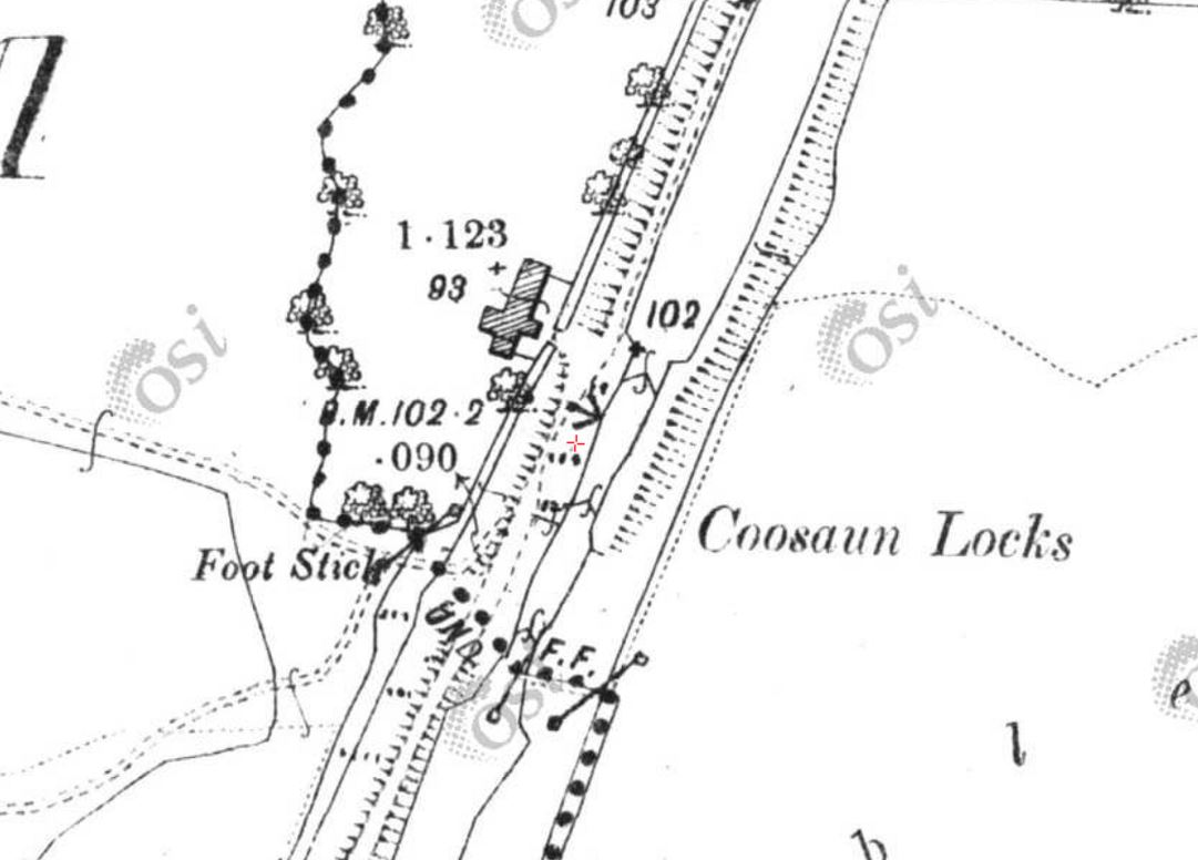
Cussane Lock (OSI ~1900)
You can see what the lockkeeper’s house looked like in 2015 in the article “A Flooded Landscape Revealed“, written by folk who surveyed the area last year for Irish Water.
![]()


