Tag Archives: Errina

The mystery of Mr Worrall

Castleconnell and Worldsend, Co Limerick (OSI 6" ~1840)

Castleconnell and Worldsend, Co Limerick (OSI 6″ ~1840)

The authors of a book called Village by Shannon, about Castleconnell, Co Limerick, say that the area of Worldsend, at the northern end of Castleconnell, derives its name from Worrall’s Inn, an establishment operated by a Mr Worrall in the early eighteenth century.

That may be so, but the book’s accounts of river-borne traffic — to a quay at the inn — do not seem to accord with what is known about the history of the Shannon navigation, and in particular of the Limerick Navigation between the city and Killaloe. Here are some of the problems.

My OSI logo and permit number for website

What’s a cumec, Daddy?

I don’t know, but here’s a picture of 415 of them flowing through Castleconnell. [Update 13 December: that may be only 405 cumec.]

Castleconnell 20151212 10_resize

415 cumecs on 12 December 2015

Actually, a cumec is one cubic metre of water per second, which is roughly one ton per second, which is a lot of water. And 415 cumec is the amount that, according to the blatts, the ESB is currently letting down the original course of the Shannon from Parteen Villa Weir; the minimum flow in that channel, as seen in summer, is 10 cumec.

Castleconnell 12 December 2015

Castleconnell 20151212 02_resize

Younger trees getting their feet wet

Castleconnell 20151212 11_resize

Who’d have guessed?

Castleconnell 20151212 14_resize

Below the bridge

Castleconnell 20151212 21_resize

Above the bridge

Castleconnell 20151212 34_resize

Stormont

Castleconnell 20151212 37_resize

Pump

Castleconnell 20151212 40_resize

Sandbags

Castleconnell 20151212 42_resize

Sandbag Central

Castleconnell 20151212 43_resize

Sandbags filled here for distribution

Castleconnell 20151212 46_resize

Army engineers

Castleconnell 20151212 50_resize

More equipment arriving

Clonlara 11 December 2015

Headrace Clonlara 20151211 01_resize

Ardnacrusha headrace, said to take 400 cumec

PEC Errina Bridge 20151211 04_resize

Errina bridge on the Plassey-Errina Canal

PEC Errina Bridge 20151211 01_resize

The stop planks seem to be quite effective …

PEC Clonlara upstream 20151211 01_resize

… as there is little water getting down the canal to Clonlara bridge

Park Canal 9 December 2015

Park Canal 20151209 01_resize

Depth gauge at Park Lock

Park Canal 20151209 03_resize

Lock chamber

Park Canal 20151209 04_resize

Full canal upstream


The Limerick Navigation: lock sizes

Here is a table showing the sizes of the locks on the (now abandoned) Limerick Navigation.

Errina Bridge

I remarked in November 2012 that Waterways Ireland had parked a canteen trailer and some pontoons at Errina Bridge, the uppermost bridge on the Plassey–Errina Canal, which is part of the old Limerick Navigation.

WI pontoons

WI pontoons

WI canteen

WI canteen

I wondered what was to be done; I noted that a stone at the top of one of the stop-plank grooves under the bridge had been removed (the stone on the far side was removed some time ago).

So I asked Waterways Ireland what was happening. They said:

The works in Clonlara are Flood relief works to protect Errina Lock from catastrophic failure. After the flooding in 2009, during which the dam in Errina Lock was overtopped by approximately 0.5 metres, it was decided to protect it from this happening again.

It has happened before too: in February 1809 the lock was destroyed by floods when heavy snows melted.

Errina Lock (looking upstream)

Errina Lock (looking upstream)

I asked WI about the nature of the works. They said:

Stop logs are to be put into the grooves under the bridge forming a dam with the same size opening as that in the concrete dam in Errina Lock. As for the stone which is removed to facilitate the installation of the timbers, this will be replaced once the timbers are in place.

That is good to know.

Errina Bridge stop-plank grooves (towing-path side, with uppermost stone removed)

Errina Bridge stop-plank grooves (towing-path side, with uppermost stone removed)

Errina Bridge stop-plank grooves (off side)

Errina Bridge stop-plank grooves (off side)

An authority on waterways has suggested that the curious shape of the grooves was designed to allow planks to be inserted from boats rather than from land.


Errina

Waterways Ireland has parked a canteen trailer and some pontoons at Errina Bridge.

The compound, with Official Notices signed Rabbit

Pontoons

The canteen trailer


Another view of the canteen trailer

Evidence of tree cutting above Errina Lock, but that may not have anything to do with Waterways Ireland

The guardians of the lock


Limerick bridge

Just as Killaloe is to have a new bridge, so too is Limerick. Or perhaps more than one …. This page (on a site whose ownership I do not know) has a map of proposed routes for the proposed Limerick Northern Distributor Road, which is to provide a northern bypass of Limerick. You can read about it on the websites of the promoters, Limerick County Council, Clare County Council and Limerick City Council. You can download stuff. And you will be pleased to hear that there are to be consultations (only not many of them).

This road is to be built in two phases, the first covering the area from west of the city to Parteen and the second from there to the old Dublin road (N7 as was, now demoted to the status of boreen). There are (or were) several options for each section, but the decision to cross the navigation at the Ardnacrusha tailrace, between the power station and the existing bridge, seems to be set in, er, concrete: that is, it seems, where the ESB wants it.

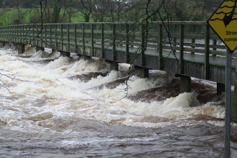
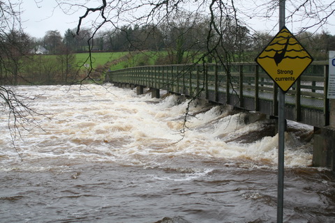
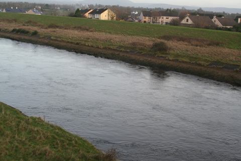
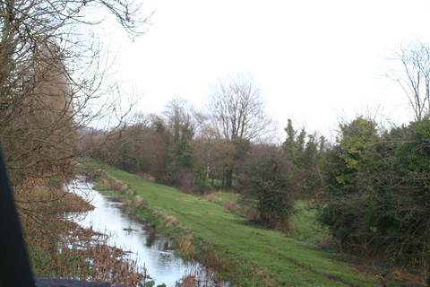
Ardnacrusha and the tailrace seen from the existing bridge at Parteen

The current consultation is about Phase 2, south-east from Parteen. There are several possible routes.

Two of them, B1 and B2, would cross the Shannon downstream of Plassey and the Black Bridge; they would not cross the Plassey–Errina Canal. It would be important to ensure that they did not further damage the towing-path and its artefacts on the Limerick side.

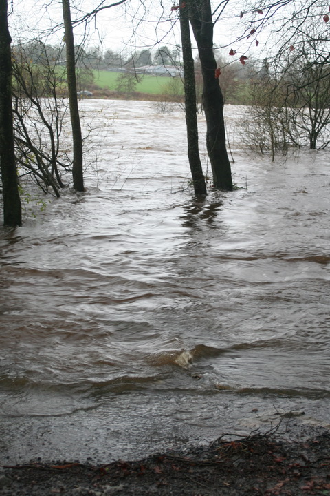
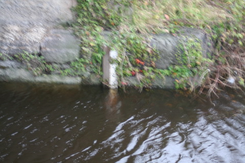
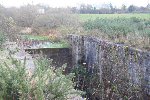
The west bank below Plassey

Four other routes — C1, D1, D2 and E1 — would cross the Plassey–Errina Canal between Gillogue and Wooden Bridge; they would cross the non-navigable Shannon upstream of Plassey, between there and a point just above the confluence of the Mulcair. C1 seems to run very close to Gillogue Lock, although that may be an effect of the scale of the route markings.

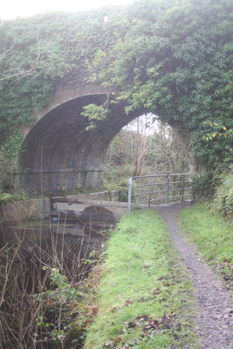
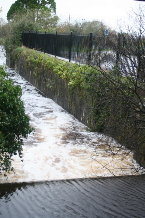
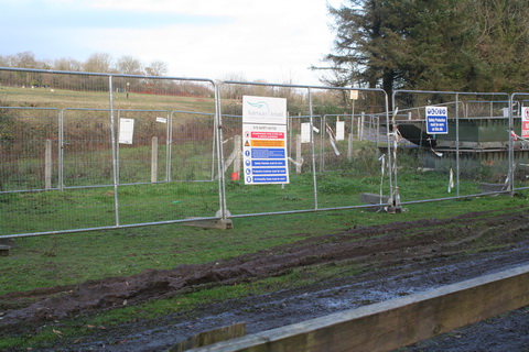
Woodenbridge (which isn't)

I am sure that the ESB will look after the interests of the existing navigation (through Ardnacrusha) and that Waterways Ireland will look after those of the former navigation (the river to Plassey and the canal thence to Errina). However, it might be worthwhile lobbing in a comment to TPTB, first to sttress the heritage value of the abandoned navigation and second to suggest that a new road near Plassey might improve rather than diminish access to that area.

One final thought: this new road seems likely to put the final nail in the coffin of the Limerick Tunnel under the Shannon estuary downstream of Limerick. I very much enjoy using the tunnel, but many folk are deterred by the charges and they drive through the city instead — or, worse, cross the Shannon at O’Briensbridge. As a result, revenue is less than expected, so the traffic guarantee mechanism means that the National Roads Authority has to compensate the tunnel operators.

So now that a new, free, presumably fast road is to link the east and west sides of the city, what will happen to the numbers of vehicles using the tunnel and to the taxpayers who are ultimately paying the compensation? They’ll pay more. The tunnel is on a national primary route, so it’s the NRA’s problem, whereas the new bypass is a regional or local route, which is in the hands of the local authorities.


=p-po-