Both the OSI and Logainm.ie show the spelling as Scarriff, but the version with one R seems to be common in the area and is used on the area’s website. I’m sticking to the longer version, so that I can at some future time work up a joke about Scaelbowiff.
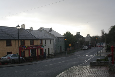
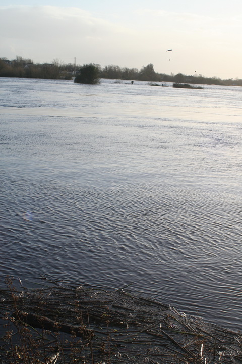
Scarriff is a small town in County Clare, a little distance upriver from the end of Lough Derg’s western arm.
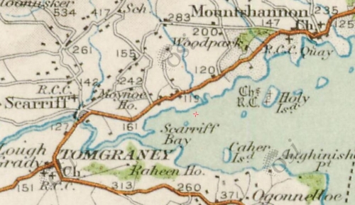
Lough Derg’s western arm (OSI ~1900)
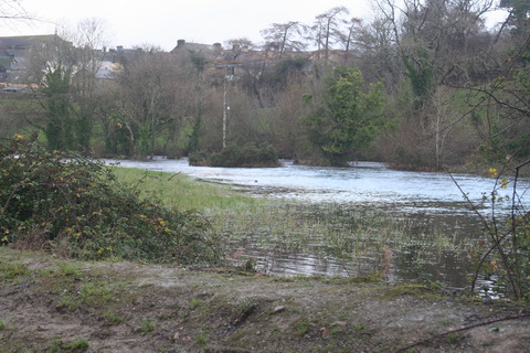
In the 1840s the Shannon Commissioners made the river navigable to the town: before then Reddan’s Pier at Tuamgraney seems to have been the head of the river, at least for larger boats.
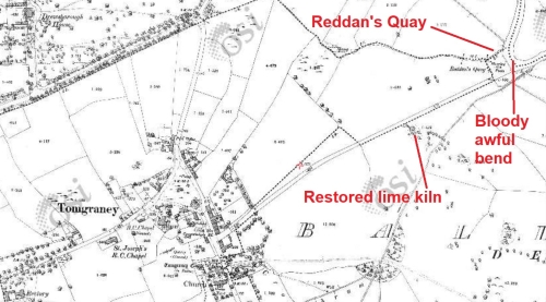
Reddan’s Quay at Tuamgraney (aka Tomgraney) (OSI ~1900)
Tuamgraney is a pleasant spot. A short distance up the road to the village is a restored limekiln.
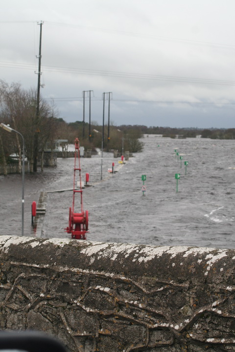
However, Reddan’s Quay is on a bloody awful bend in the river. Large boats may have difficulty in making the turn without assistance, especially if they’re coming downstream with a flow. Anyone moored at Reddan’s Quay in such circumstances might need a new paint job afterwards.
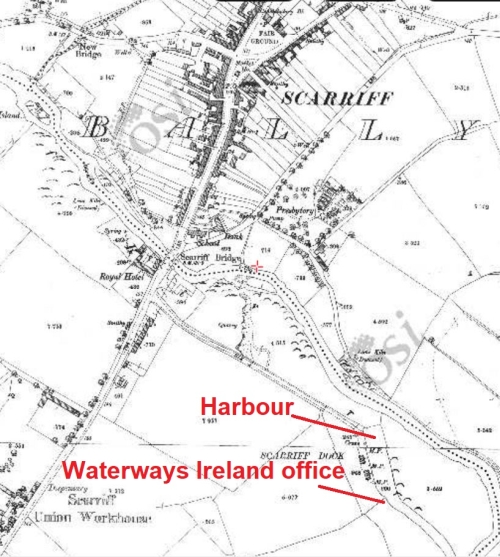
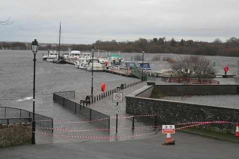
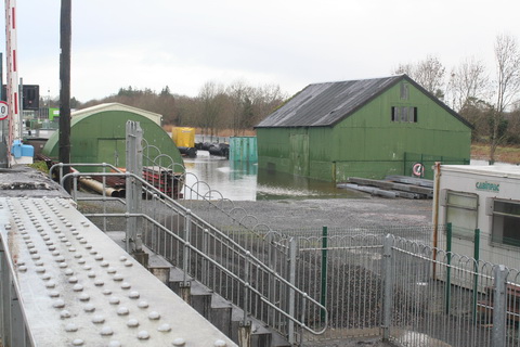
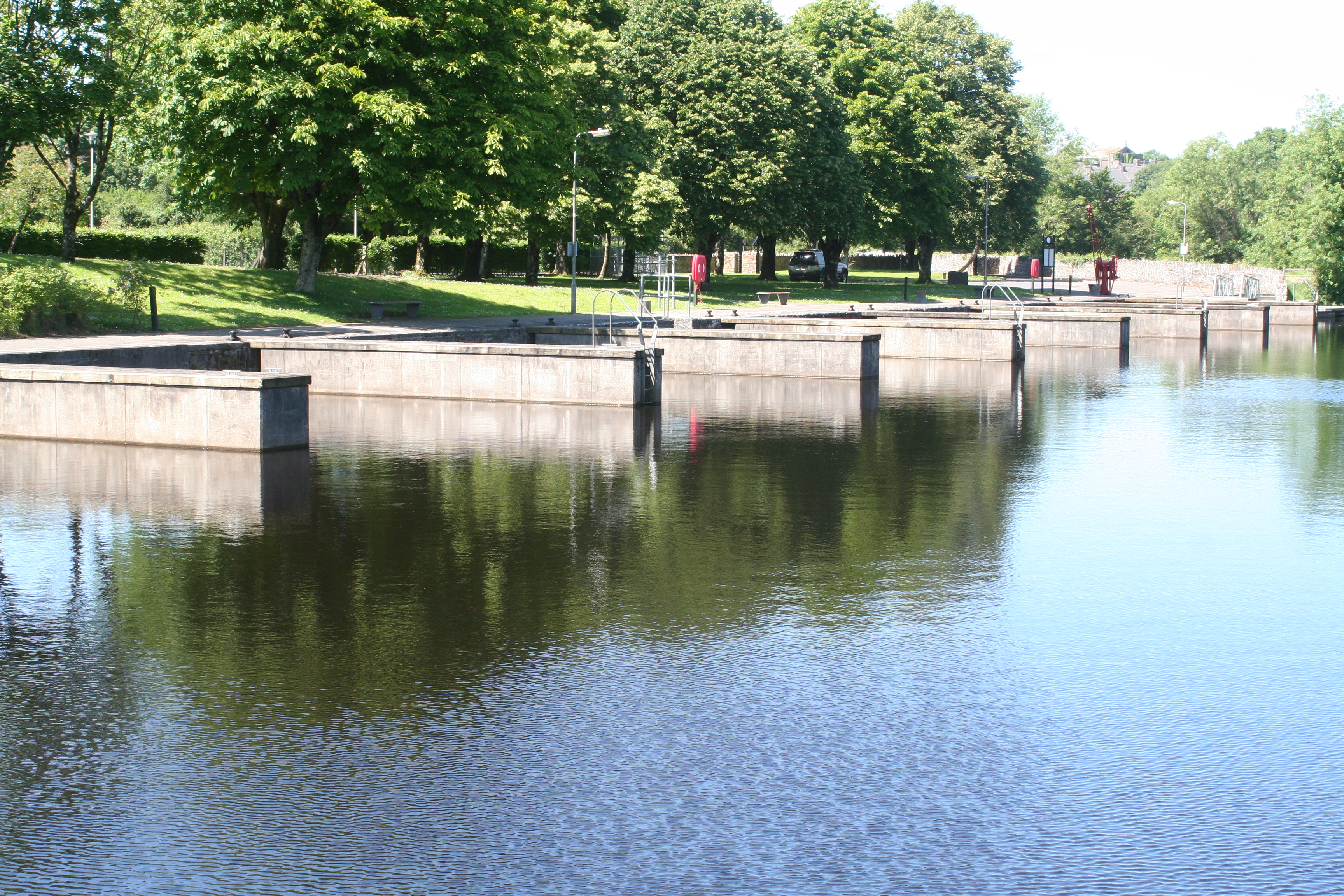
Scarriff Harbour (OSI ~1900)
harbour facilities
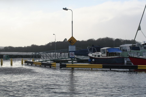
Scarriff Harbour was expanded in recent times by the addition of concrete finger jetties, which provide more mooring spaces for modern cruisers. The jetties don’t touch the old quay: I gather that this was to preserve the ancient monument or something [perhaps, Gentle Reader, you can correct me on that]. The quay still sports a Shannon Commissioners crane (no longer working) . Two long berths were provided during the expansion: half of one long berth is occupied by a boat (one of three such) that was not occupied last weekend and the other is the pump-out berth.
At the inner end of the harbour are some floating pontoons suitable for open boats and for launching kayaks and canoes. However, despite the presence of a lock-up cage for the safe storage of kayaks and canoes, indicating that small-boat activity is welcome, low barriers (only 1.8m) at the entrance to the harbour require those arriving by car to unload the kayak or canoe outside the harbour and carry it in, then return to drive the car in and unload the vessel’s equipment and cargo.
There is no slipway.
The barriers might deter camper-vans, alas: another example of discrimination against RV-users.
The harbour has a toilet-and-shower block, a pump-out, two double-socket mains electricity pillars, lights and a supply of water, which latter is used by persons arriving by car with numbers of plastic containers.
However, the harbour has not a single bin of any kind. Thus, late-evening carousers are forced to jettison their empty bottles and cans and their cardboard containers around the harbour, smashing some on the concrete in the process. A civic-minded citizen might try to sweep up the broken glass but then has nowhere to put it. [Incidentally, the carousers had left by about midnight and there was none of the threatening atmosphere that is sometimes to be felt: apart from their regrettable habits in the matter of rubbish disposal, these seemed to be quite civilised carousers.]
But back to bins. A civic-minded dog-owner who cleans up after Fido must then carry the remains around. In hot weather, dog poo on a boat begins to smell after a while; any outbreaks of cholera can be attributed to what Waterways Ireland calls its “Leave no trace” policy, which might better be termed “Pay no local authority bin charges”. As a policy, “Leave no trace” is simply an encouragement to dog-owners not to clean up: it’s far, far less trouble to leave the stuff for someone else to walk in.
The exiles
In 1997 Síle de Valera, a local TD, became Minister for Fairytales. Waterways Ireland was set up during her reign and cursed by being given several regional offices; the Western region (ie Shannon) office was built at the harbour in Scarriff, in Ms de Valera’s constituency, and some unfortunate staff were sentenced to transportation to East Clare.
However, with a high population of yoghurt-knitting yurt-dwellers, East Clare is quite an interesting place. The Friday smallholders’ market had lots of good breads and cakes, jams, preserves and mushroom salt, as well as a stock of African decorative items. The fruit and veg shop on the same side of the road had a good range, while across the way the Graney sells healthfoods, veg, good cheeses, chocolate and much other stuff. No doubt other shops in Scarriff are equally good in their own fields, but I didn’t get to visit them.
Boats
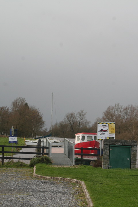
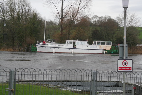
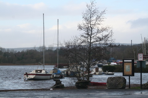
On a sunny weekend (and no doubt at other times too) Scarriff was an extremely pleasant place to be, yet there were very few boats there (apart from the three unoccupied boats). [In the next photo, taken early on Friday, the unoccupied boats are out of shot to the left.] One occupied boat left at lunchtime on Friday when we arrived; one more came later, so there were two occupied boats in the harbour that night.
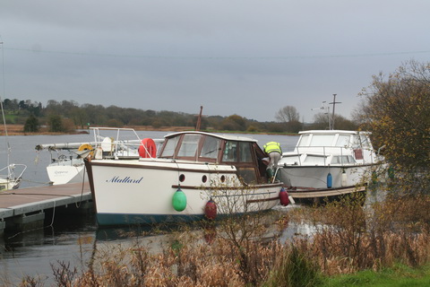
Saturday was slightly busier: the boat that had arrived on Friday left, but two other private boats arrived and, between 2230 and 2245, two large Emerald Star hire boats arrived too, making five occupied boats in the harbour.
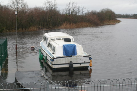
Some small boats, mostly of the zoomy variety, visited briefly on Saturday. I realise that drivers may find it exciting to travel fast on a narrow, winding river where they can’t see what’s coming, but paddlers of canoes and kayaks may find less amusement in dealing with the wash from the speedsters. They in turn might find it less amusing were they to collide with 45 tons of steel coming downriver. Perhaps purchasers of fast boats should be required to demonstrate the possession of IQs in at least double figures before being allowed to take the wheel.
Scarriff June 2017
Make more use of Scarriff
The small numbers of boats made it seem that a fine facility was being wasted (although it is dangerous to make generalisations on the basis of a single visit). It also seemed that local people made little use of the facility: I saw two anglers, a few dog- or baby-walkers and one or two others.
Here are some (cheap-to-implement, I hope) suggestions to bring more life to the harbour by encouraging both residents and visitors to use it.
- Encourage camper-vans. At weekends, they could use the Waterways Ireland staff car park (which had only two cars in it over the weekend). The office has cameras watching it; one or two could be redirected to monitor the vans.
- Encourage canoeists and kayakers. Sell them special smart cards (or something) that would allow them to open the barriers to get closer to the launch pontoons. If there isn’t a local canoe club, encourage one.
- Encourage camping.
- Build a basketball court or a play area or something for local young people (and visitors).
- Provide barbeque facilities, seats and tables.
- Provide bins. Perhaps the local off-licence might sponsor them.
- Encourage local businesses and activity-providers to advertise their wares and happenings at the harbour.
- Persuade the operators of the Scariff.ie website to do more to encourage boat-borne visitors. As it stands, the site doesn’t even acknowledge that you can get there by boat. And [at time of writing] it has no information about a 2017 Scarriff Harbour Festival; I don’t know whether there is to be one.
- Improve the chart of the river: it’s too small to provide useful warning of the twists and turns.
On the same weekend, Dromineer seemed to be packed with boats and with non-boat people; Scarriff didn’t have many of either, and it seems a pity.![]()