In a piece about the Augustinian Priory at Athassel, near Golden in Co Tipperary, I wrote
But the really extraordinary thing about Athassel, at least from the waterways viewpoint, is that Dundry stone was used for sculptural (but not for structural) work.
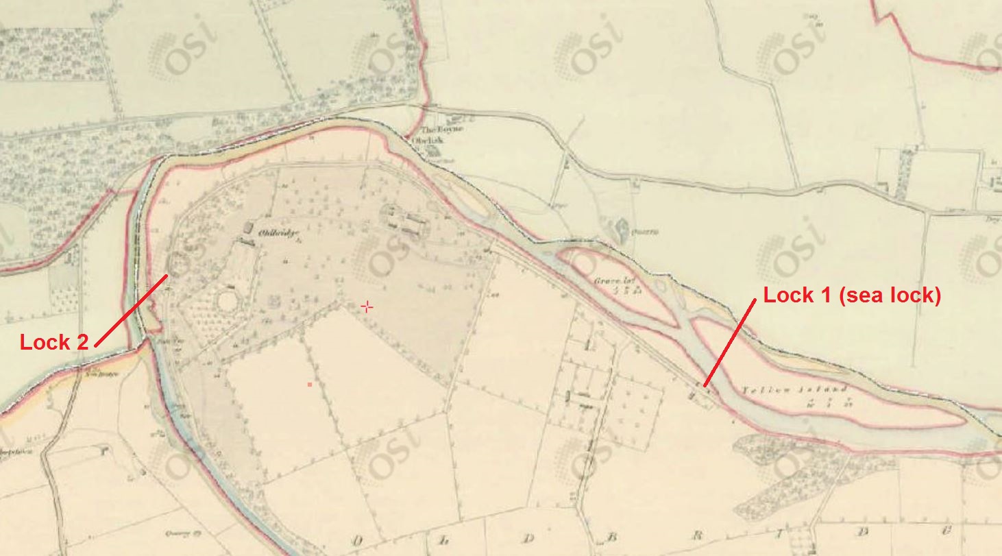
Now, that may mean as little to you as it did to me, until I looked it up and found that Dundry is in Somerset, on the Bristol Channel. The stone could have been taken from there to Waterford by sea and it must have been hauled up the Suir from there.
In the last century, the horse-drawn traffic up the Suir to Clonmel ceased, and Carrick-on-Suir became the effective head of the navigation. But Athassel is at least another twenty miles upstream from Clonmel, and cargoes were brought up there seven hundred or so years ago.
However, traffic in materials for religious establishments was not all one way, and I am indebted to John Ditchfield for the information that some of the oak used in the roof of Salisbury Cathedral was felled in Ireland, on or near the east coast, in the spring of 1222 and used by 1225. Timber from 75 trees has been identified and at least one shipment, by William of Dublin, is recorded in 1224.

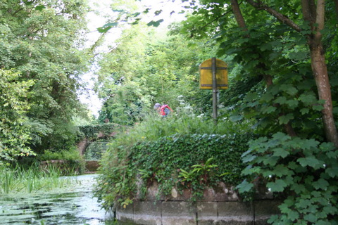
Inside Salisbury Cathedral (courtesy of John Ditchfield 2015)
A 2003 story in the Telegraph says
The wood was bought from “William of Dublin” and carted from Bristol or Southampton.
However, in the English Heritage [now Historic England] report from 2002 on The Tree-Ring Dating of the Roof Carpentry of the Eastern Chapels, North Nave Triforium, and North Porch, Salisbury Cathedral, Wiltshire [PDF], I found nothing about how the timber got from the English coast to Salisbury, which is some distance inland.
It may be, of course, that the Patent Rolls for AD 1224 say what English port was used and how the timber was transported from there to Salisbury. I do not, alas, have a copy of the Patent Rolls to hand and Messrs Google don’t seem to have been able to get hold of them for digitising.
But if the Patent Rolls don’t provide evidence to the contrary, my guess would be that the timber was carried up the Avon. And that might enable Rollalot to insert another date between the first and second in the history of Avon navigation on this page; Rollalot, like me, has read Douglas Caffyn on the right to navigate on rivers.