Another unbuilt canal mentioned by the indefatigable Mr Atkinson.
A proposal for making a canal from the city of Armagh to the river Blackwater, near the town of Moy
In order to shew, that carrying into effect the annexed sketch of a line [alas not annexed to the Google scan of Atkinson’s book], for opening a navigable communication from Armagh to the river Blackwater, would be a work of public utility, the following reasons are most respectfully submitted to the Right Honourable and Honourable the Committee of the House of Commons.
From Armagh, being the most considerable market in the kingdom for the sale of brown linens, the manufacture of that staple article is carried on to a very great extent in its neighbourhood; but this manufacture is in danger of being most materially injured, from the great scarcity of fuel, which is such as to oblige the opulent inhabitants to use English coal, at a great expense of land carriage; and they have latterly, at inclement seasons, been under the necessity of subscribing large sums, to procure that article at a low price for the poor, to prevent them from perishing.
Should a navigation be opened from Lough Neagh it would give the means of a supply of turf from the extensive bogs in the neighbourhood of the lake, would open a communication with the collieries at Coal island, in the county of Tyrone, and bring English or Scotch coal at considerably under the prices at which they can now be procured.
An extensive trade in general articles of merchandise being carried on from Armagh, not only to its own neighbourhood, but to a considerable part of the counties of Monaghan and Tyrone, by opening a navigation through Lough Neagh to the ports of Belfast and Newry, this trade would be very considerably extended, to the great advantage of Armagh, and all those places to which its trade extends, and would tend much to improve the public revenue.
To the great number of bleach-greens and flour mills in the neighbourhood of Armagh, water carriage would be of the highest importance, as well for the conveyance of bleaching stuffs, coals, grain, and flour, as of timber, slates, and other heavy articles, used in erecting and repairing the necessary buildings, machinery, &c.
In a large tract of country, from Blackwater town to Lough Neagh, and from thence up the river Bann, and along the canal to Newry (an extent of nearly 30 miles), there is no limestone whatever; so that lime can only be procured by land carriage from a distance of several miles, which prevents its being at all used in that important national object — agriculture.
Was a canal opened from Armagh, it must necessarily go through the lands in that vicinity, containing inexhaustible quantities of limestone, which could be conveyed by boats returning from Armagh, at a very inconsiderable expense, to all that part of the county above mentioned.
The cut, as laid down in the plan, would extend about five and a half miles; and according to the estimate, would, when completed, cost from £18,000 to £20,000, about one-third of which could be raised by subscription.
To keep the works in repair, and pay interest to the subscribers, would require a toll of about sixpence per ton on all boats carrying coals, or any other species of merchandise; but boats laden merely with turf or limestone might be charged only twopence per ton.
The number of horses constantly employed in bringing coals, turf, and other necessaries, to Armagh, amount to some hundreds; two-thirds of these would, from a canal, become unnecessary, and consequently make a saving to the country of their keeping, attendance, &c to a very large amount.
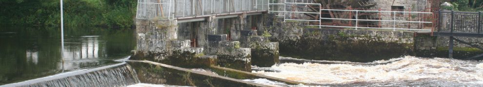
Should the Armagh navigation be carried into execution, it would be necessary to give the commissioners of it a power of laying on a very small toll on vessels coming into the Blackwater from Lough Neagh, to enable them to clear, and keep in order, a cut which was made many years ago (as marked in the plan), to avoid a sand bank in the mouth of the river Blackwater.

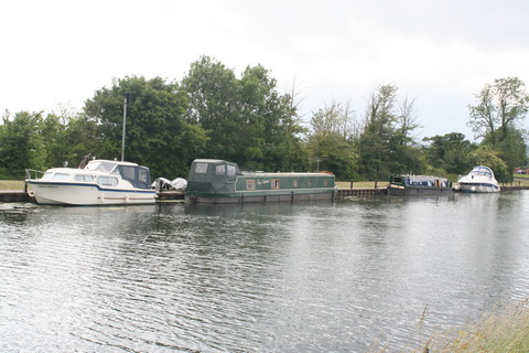
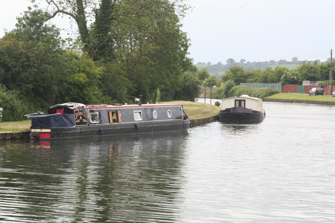
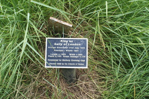
Armagh, Moy and Lough Neagh
A Atkinson Esq (late of Dublin) Ireland exhibited to England, in a political and moral survey of her population, and in a statistical and scenographic tour of certain districts; comprehending specimens of her colonisation, natural history and antiquities, arts, sciences, and commerce, customs, character, and manners, seats, scenes and sea views. Violent inequalities in her political and social system, the true source of her disorders. Plan for softening down those inequalities, and for uniting all classes of the people in one civil association for the improvement of their country. With a letter to the members of His Majesty’s Government on the state of Ireland Vol II Baldwin, Cradock, and Joy, London 1823.
The Armagh canal document, bearing a date of June 20th 1800, is also included in Rev John Dubourdieu Statistical Survey of the County of Antrim, with observations on the means of improvement; drawn up for the consideration, and by direction of The Dublin Society Dublin 1812 [Google scan, again sketchless] but is not, oddly, mentioned in Sir Charles Coote Bart Statistical survey of the County of Armagh: with observations on the means of improvement; drawn up in the years 1802, and 1803, for the consideration, and under the direction of the Dublin Society Dublin 1804 [at archive.org here], although Coote does say of Newry
A canal has been in contemplation, to be cut from this town to Armagh, and an iron road is also talked of, but there has been no decision in either cases.