
… what this ramp is, or at least what it was originally intended as.
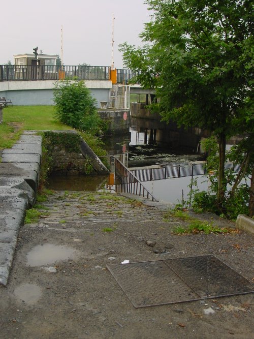
Curious object [2006]
… what this ramp is, or at least what it was originally intended as.
Curious object [2006]
In the minor arrangements made by us, and the rates fixed for small boats, we have been influenced by the same general principles already mentioned, and have been guided by the further principle of making every class of traffic or boat, however small, liable to some rate of toll, in order to establish a useful and beneficial control over the navigation.
Second Report of the Commissioners for improving the Navigation of the Shannon; with an appendix Ordered, by The House of Commons, to be Printed, 26 February 1841 [88]
Kilteery pier, on the Shannon estuary, August 2015
The Shannon Navigation Act of 1839 required the Shannon Commissioners to define the boundaries of the navigation. They did so, describing the limits in a manuscript with illustrations and showing the Shannon and all structures therein in a series of 45 maps. Here is a brief piece about the undertaking.
According to the Indo, which may or may not know anything about the matter itself but probably got a press release from someone [to whom the same qualification may apply], farmers along the Shannon Callows are concerned about rising water levels at Clonown, an area on the west bank below Athlone.
The level in that area is held up by the weir at Meelick. But according to Waterways Ireland today,
[…] low water levels exist on the upstream approaches to Meelick and Victoria Lock. Water levels are currently below Summer levels.
According to the OPW gauges at Athlone, the water level is below the 50th percentile and is falling. The same applies at Banagher, although it did exceed the 50th percentile for some days.
Three lessons suggest themselves:
Sinn Féin has a TD called Martin Kenny who, in the Dáil on 29 May 2019, asked about repairs to a walkway across Meelick Weir. He said that
The weir is a crossing point on the Shannon on an important walkway, the Beara-Breifne Way, which runs from Breifne in Leitrim to the Beara Peninsula, straight through Ireland’s Hidden Heartlands.
I’m not sure that he’s got the direction of travel right, but let that pass. He also said
The problem is that people using the walkway have not been informed it is closed. Many businesses, particularly tourism businesses, are directing people up the walkway as far as the bridge but they cannot cross it. Over the past several days, some tourists could not cross the river at the point.
One Seán Kyne, a mini-minister, said in reply that
In 2009, during an extreme weather event, the weir and its walkway from which the weir boards are placed and removed were extensively damaged. In the 2015-16 severe weather event, the last remnants of the walkway were destroyed.
If the “many businesses, particularly tourism businesses” have not noticed that the walkway has been out of action for almost ten years, it suggests that the Beara-Breifne Way is used by very few people and that its reinstatement is not important, or at least not urgent. On the other hand, it might suggest that the operators of the tourism businesses in question have not paid as much attention to the route as they might have.
The minister, by the way, said
Meelick weir was originally built in the 1790s as part of the Shannon navigation.
I thought it was built by the Shannon Commissioners in the 1840s.
Financial innovation, Irish navvies, suicides and a canal.
h/y Barry Ritholtz
Posted in Canals, Economic activities, Foreign parts
Tagged canal, Chicago. wheat, derivatives

