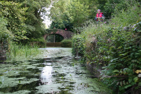
I have a vague recollection of being told that there was no evidence that the turf-sided Lock 2, Oldbridge Guard Lock, on the Boyne Navigation was ever fitted with gates. Or perhaps it was that only a single pair was fitted and that the lock did not operate as a lock.

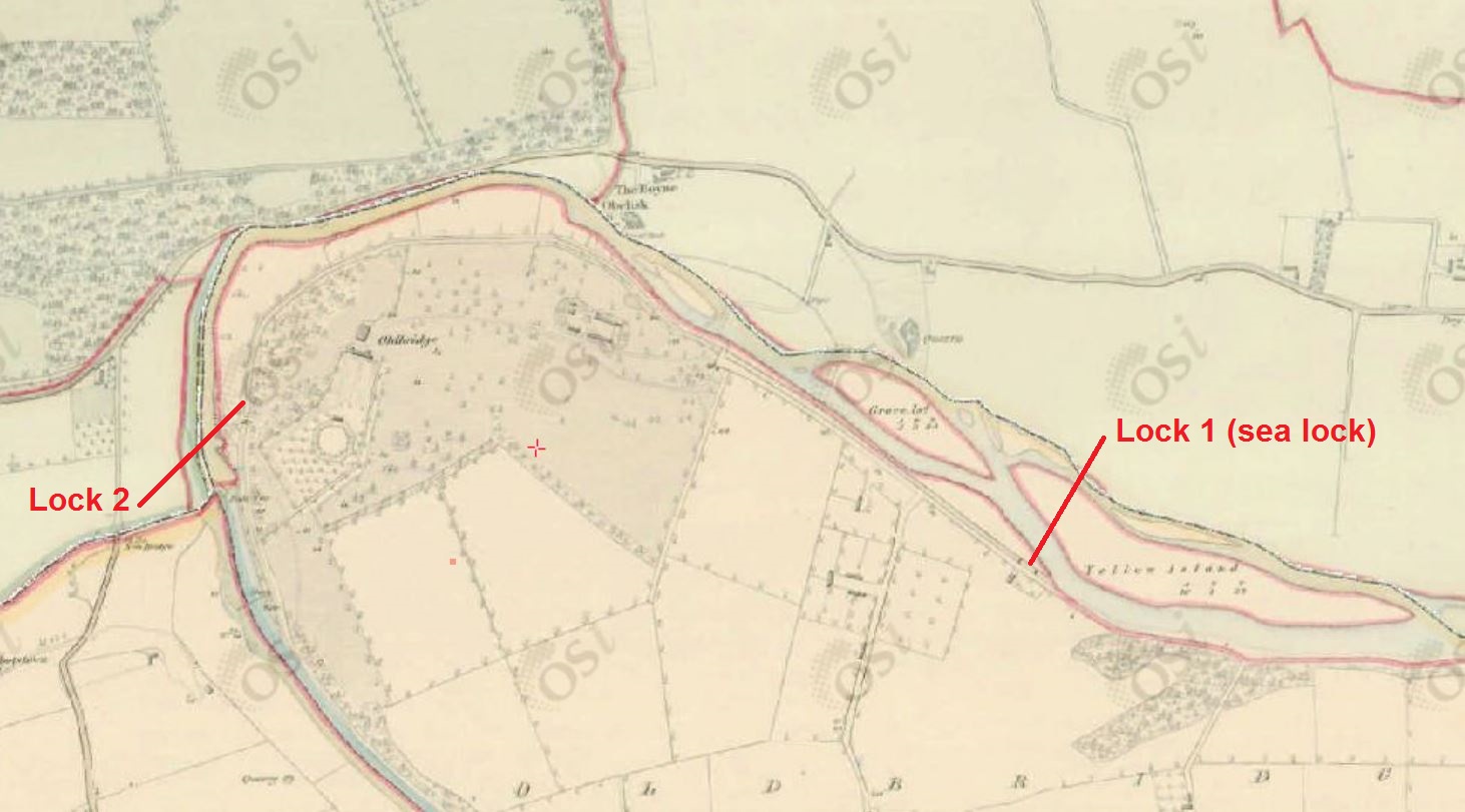
Boyne Locks 1 & 2 (OSI ~1840)
I’m not clear about what I was told but I recall feeling somewhat surprised, given that the lock has stone buttresses at both ends that could have been fitted with gates.

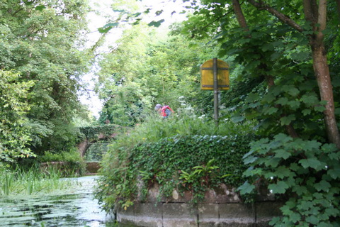
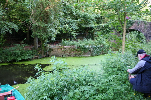
Looking up into the lock past the lower stone buttresses
I should point out that my photos were taken in 2008; much more work has been done since then.

Both sets of buttresses and the bridge

The upper buttresses
Yet it is true that the 6″ Ordnance Survey map, from around 1840, does not show gates on the lock.

Oldbridge Guard Lock (Lock 2) (OSI ~1840)
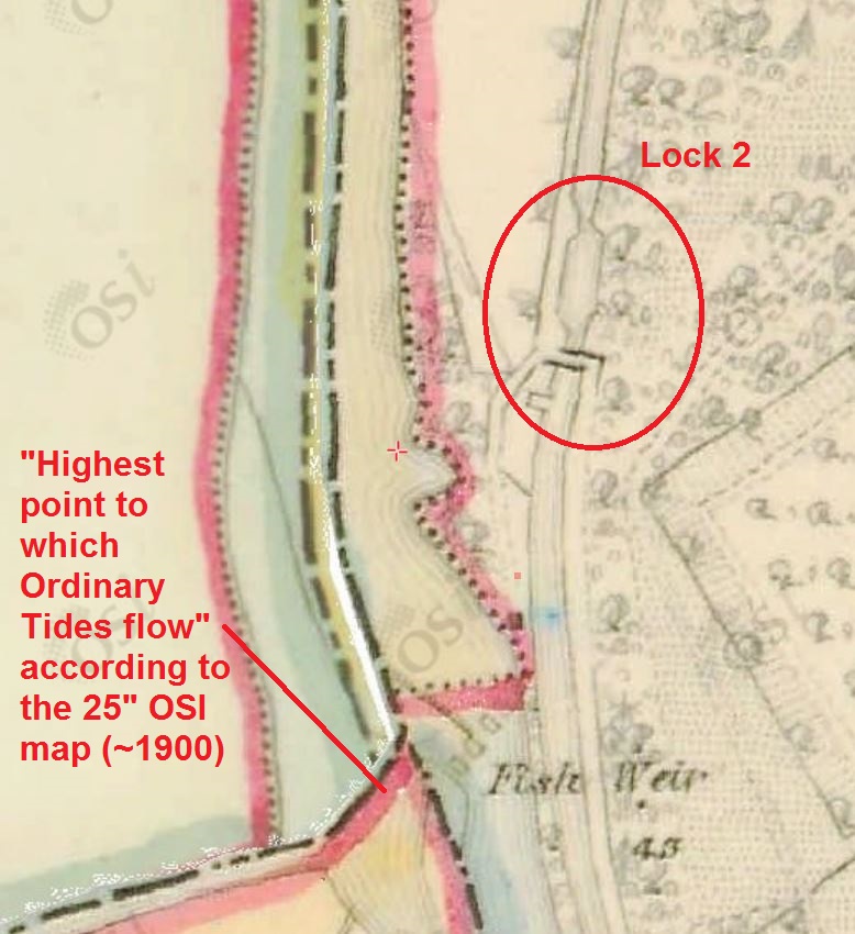
Unfortunately the relevant section of the 25″ OSI map, from around 1900, is blank at time of writing so I can’t check what it shows.
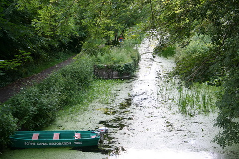
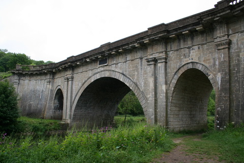
The turf-sided lock on the Boyne
The IWAI Boyne Navigation Branch is currently (March 2015) working towards the installation of gates at the lock but I don’t know whether they’re installing one pair or two pairs.
From reading the reports of the Superintendent for the Boyne Navigation, it is clear that, for at least some part of the period while the navigation was controlled by the Board of [Public] Works, the lock had both top and bottom (breast and tail) gates. Here are some relevant extracts from the reports; I’ve given only enough to make the point.
In January 1869 James Bellew, Superintendent, reported on the works carried out on the Boyne Navigation in 1868. His report, published in the Thirty-seventh Report from the Board of Public Works, Ireland: with the Appendices, for the year 1868 [Alexander Thom for HMSO, Dublin 1869], included this:
Oldbridge Station.
The lock-gates at this station are in excellend working order. The chimney of the lock-keeper’s house has been rebuilt, and some alterations made in the house to render it more comfortable. The guard lock-gates are old, but as they are used only in time of flood, I am of opinion they will last some time longer.
In March 1871, his successor, P J Dodd, wrote in the Thirty-ninth Report:
Oldbridge Guard-lock gates.
The Oldbridge Guard-lock gates are in a very bad state of repair, but new breast gates have been ordered, the contractors have same in hands, and they will be erected during the coming fine season.
And in March 1873 Dodd wrote in the Forty-first Report:
Oldbridge Guard-lock Gates.
The new breast gates of guard-lock [sic] have acted well during the year and heavy flood season, and are in a first class state at present; the tail gates, although old and shaken, are in fair working order, and did very well during the year.
In March 1877 he wrote in the Forty-fifth Report:
Oldbridge Guard Lock-gates.
The breast gates are in very good order; but the tail gates are somewhat shaken, being old.
The gates were tarred in 1878 (Forty-seventh Report); the tail gates had “a slight repair” in 1878 (Forty-eighth Report) and, in April 1881 (Forty-ninth Report), Dodd reported that
These [guard lock] gates require some repairs to sluices and also to the sheeting.
In March 1882 (Fiftieth Report) Dodd wrote:
Oldbridge Guard Locks.
The breast gates are in good repair, tail gates require two new cross rails, sheeting for both folds, and one new balance beam and handrails for both gates.
I do not, of course, know whether there were two pairs of gates at other times.