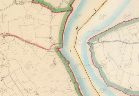
The ESB is currently letting more water down the old course of the Shannon, from Parteen Villa Weir through O’Briensbridge, Castleconnell and the Falls of Doonass. This channel gets the first 10 cubic metres per second from the Shannon; the next 400 go through Ardnacrusha and anything left over is sent down the old course.
The result is to help to reduce the water level on Lough Derg while raising it on the old course.
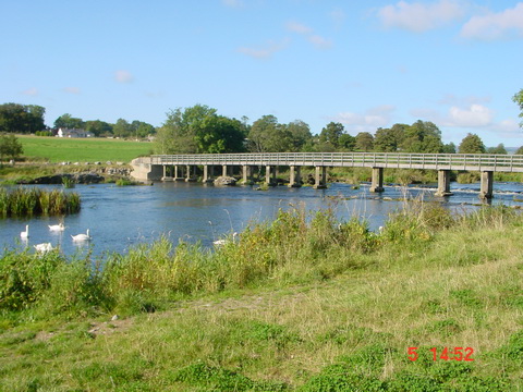
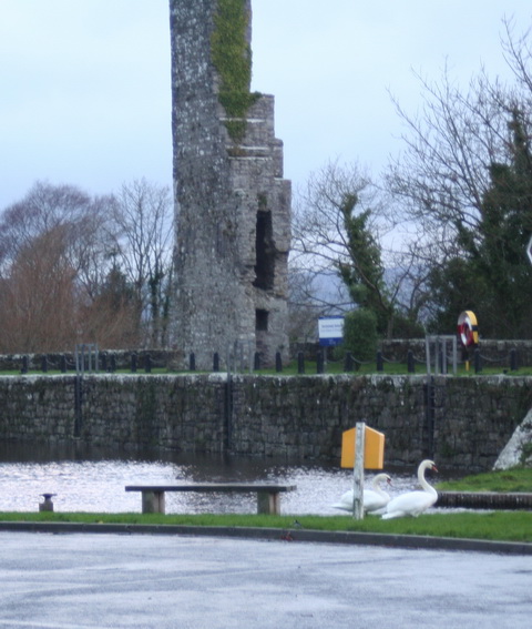
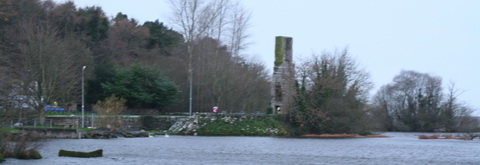
The footbridge in Castleconnell at normal summer level in 2002
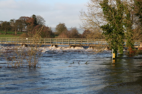
The footbridge on 1 January 2014
Before Ardnacrusha was built, the old channel took the entire flow of the Shannon, so it can take more than it has now.
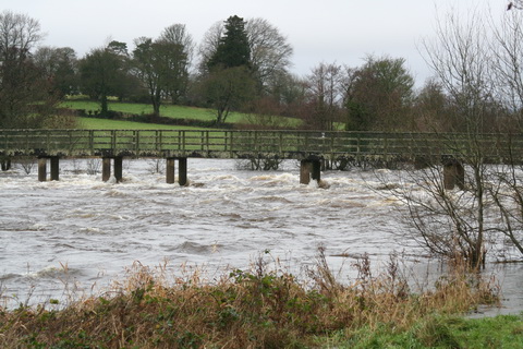
The footbridge in the floods of November 2009
The level is still below that of 2009, when the land around the old channel flooded in several places. But much land is waterlogged: I saw yesterday that the upper reaches of the Nore, the Barrow and other rivers were in flood. And more rain is forecast.
Wouldn’t it be nice if some of that could be sent to Dublin instead? I see that some folk claim (on what looks like a website that hasn’t been updated for a while) that the evil Dublin folk want to extract 350 million litres of water from the Shannon every day; the original idea was to take it from Lough Ree but now it seems that Lough Derg is the preferred source.
Now 350 million litres sounds like a lot, but it’s 350 000 cubic metres per day, 14 583.3 per hour, 243.05 per minute, 4.05 per second, which is less than 1% of normal flow through the two channels draining Lough Derg. There’s a lot more at the moment, and the good citizens of Dublin are welcome to come down and fill their buckets. I suspect that Clare TD Michael McNamara has got things out of proportion.
Addendum: 350 million litres per day, over a lake whose area is 130 square kilometres, would lower the level of the lake (if my calculations are correct) by 2.69 millimetres. If no water entered the lake, the level would be down 983 mm after a year, ignoring evaporation and other abstractions and assuming that the Shannon and other tributaries no longer flowed in and that there was no rain.