Tag Archives: Plassey-Errina Canal

Limerick Navigation lockkeepers

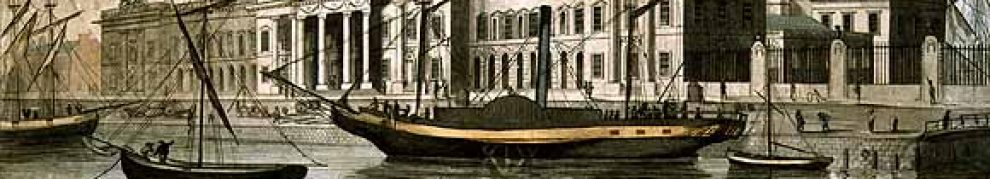
The Limerick Navigation was in five sections — three canals with river sections in between — and joined Limerick to Killaloe and the rest of the inland Shannon. The canal sections had locks, each controlled by a lockkeeper who lived on site. The job passed from generation to generation: some of the lockkeepers’ cottages are still inhabited by descendants of the lockkeepers.

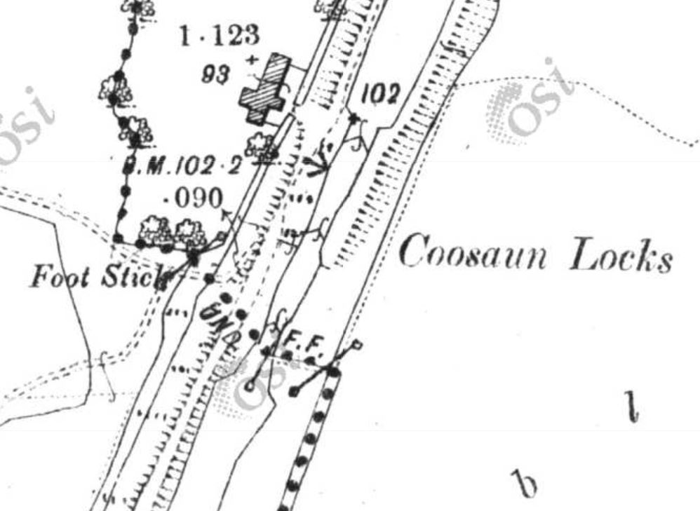
Cussane lock (OSI 25″ ~1900)

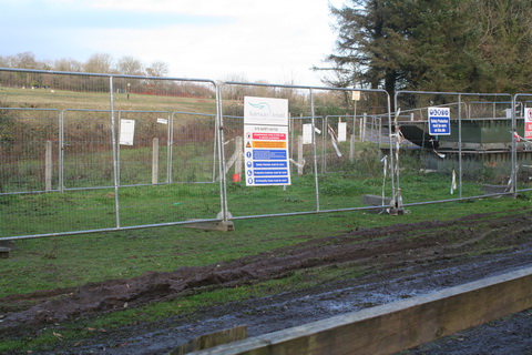
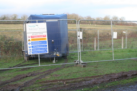
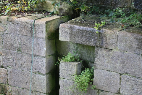
Cussane was the furthest downstream of the three locks on the Killaloe section of the canal. It was covered by water when the Ardnacrusha hydroelectric scheme created the “flooded area” below Killaloe. If memory serves, Cussane was known as Crowe’s Lock.

In the online searchable catalogue of the Registered Papers of the Chief Secretary’s Office in the National Archives, there is a letter dated 15 February 1830 [CSO/RP/1830/815]

[…] from James Saurin, Henry R Paine, and John Radcliffe, [Directors General of Inland Navigation], Board of Control, [Dublin], to Hugh Percy, 3rd Duke Northumberland, [Lord Lieutenant of Ireland, Dublin], recommending Denis Crow to succeed Lott Corboy sheriff as lockkeeper on the Limerick Navigation.]

There is also a letter dated 2 June 1830 [CSO/RP/1830/836]

from James Saurin, J Armit, and Henry R Paine, [Directors General of Inland Navigation], Navigation Office, [Dublin], to Hugh Percy, 3rd Duke Northumberland, [Lord Lieutenant of Ireland, Dublin], recommending dismissal of Simon Johnston, lockkeeper on the Limerick Navigation, for irregularities and for deception; asking to employ Michael Gully in his stead, for Stg£9-4-9 per annum.

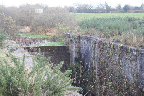
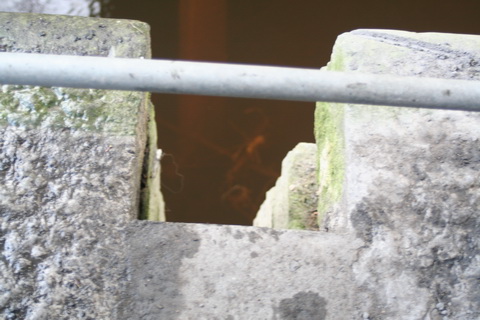
Gully’s Lock is at Gillogue, on the central canal section known as the Plassey–Errina Canal.

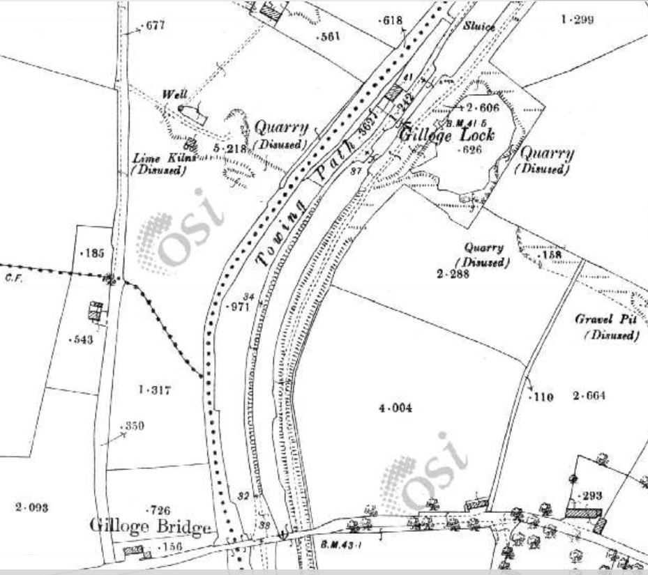
Gillogue lock (OSI 25″ ~1900)


The Gillogue railroad

Gillogue, in Co Clare, is the site of a former Burlington factory and of a Clare entrance to the University of Limerick. It is also the site of a lock on the Plassey–Errina Canal, a section of the old Limerick Navigation, and of quarries, gravel pits and lime kilns.

And, according to the 6″ Ordnance Survey map, of around 1840, Gillogue also had a railroad.

The Gillogue rail road

The Gillogue rail road (click to enlarge)

The railroad was almost certainly not for carrying passengers; it may have been a light railway, with small wagons pushed by men or pulled by horses, and designed to be taken up and moved elsewhere fairly easily. However, I have no hard information about who owned it, who built it or what it was for. I can make guesses, based on its closeness to the canal and to the quarries, but it would be nice to have evidence.

If, Gentle Reader, you know anything about it, do please leave a Comment below.

My OSI logo and permit number for website

Errina Bridge

I remarked in November 2012 that Waterways Ireland had parked a canteen trailer and some pontoons at Errina Bridge, the uppermost bridge on the Plassey–Errina Canal, which is part of the old Limerick Navigation.

WI pontoons

WI pontoons

WI canteen

WI canteen

I wondered what was to be done; I noted that a stone at the top of one of the stop-plank grooves under the bridge had been removed (the stone on the far side was removed some time ago).

So I asked Waterways Ireland what was happening. They said:

The works in Clonlara are Flood relief works to protect Errina Lock from catastrophic failure. After the flooding in 2009, during which the dam in Errina Lock was overtopped by approximately 0.5 metres, it was decided to protect it from this happening again.

It has happened before too: in February 1809 the lock was destroyed by floods when heavy snows melted.

Errina Lock (looking upstream)

Errina Lock (looking upstream)

I asked WI about the nature of the works. They said:

Stop logs are to be put into the grooves under the bridge forming a dam with the same size opening as that in the concrete dam in Errina Lock. As for the stone which is removed to facilitate the installation of the timbers, this will be replaced once the timbers are in place.

That is good to know.

Errina Bridge stop-plank grooves (towing-path side, with uppermost stone removed)

Errina Bridge stop-plank grooves (towing-path side, with uppermost stone removed)

Errina Bridge stop-plank grooves (off side)

Errina Bridge stop-plank grooves (off side)

An authority on waterways has suggested that the curious shape of the grooves was designed to allow planks to be inserted from boats rather than from land.


Errina

Waterways Ireland has parked a canteen trailer and some pontoons at Errina Bridge.

The compound, with Official Notices signed Rabbit

Pontoons

The canteen trailer


Another view of the canteen trailer

Evidence of tree cutting above Errina Lock, but that may not have anything to do with Waterways Ireland

The guardians of the lock


Waterways restoration? No thanks

An article in the Irish Times about railway restoration has prompted me to set out my views on waterways restoration. Essentially, I don’t believe public funds should be spent on projects that won’t provide a decent return, but I do favour small-scale conservation, opening up walking and cycling routes along waterways and marketing them to industrial heritage enthusiasts (and others).