Category Archives: Irish waterways general

Piscator, Navita and Shannon navigation rights

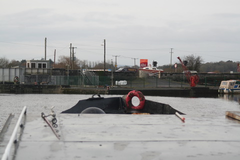
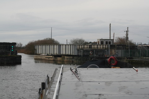
I was never any good at fishing. The only time I ever caught anything was when fishing for mackerel with feathers from a boat, which is [I gather] the equivalent of shooting fish in a barrel [surely a pointless exercise: if you wanted to catch or kill them you could just let the water out of the barrel].

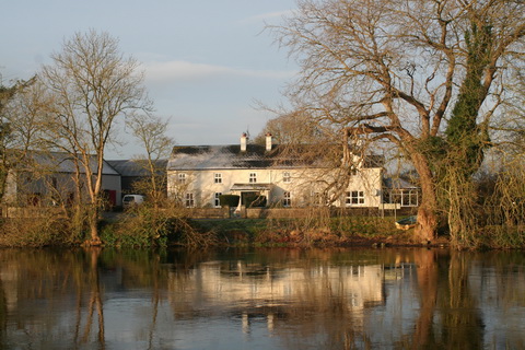
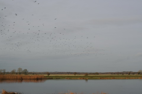
My knowledge of angling comes, therefore, almost entirely from two sources. The first is observation: from the comfort of a boat, I’ve seen anglers along riverbanks, huddled under umbrellas in the rain, miles from any amenities. They don’t seem to be having a lot of fun, but that is no doubt because they “affect a holy melancholy”, as explained in my second source.

Izaak Walton begins his The Compleat Angler or the Contemplative Man’s Recreation, being a Discourse of Rivers, Fishponds, Fish, and Fishing [a 1904 edition available here] with a friendly argument between Piscator, Venator and Auceps, each lauding his own pastime. They cite learned authorities, refer to scripture and quote poets at length before refreshing themselves at the Thatched House.

Then Venator, having become an apprentice angler, learns “How to Fish for, and to Dress, the Chavender or Chub” and many another fish, pausing to hear Maudlin, the milkmaid, sing her song and her mother sing a response. After a supper of barley-wine and trout, Piscator, Venator and two more anglers, Peter and Coridon, sing more songs, including The Angler’s Song, which includes this stanza:

Of recreation there is none
So free as fishing is alone;
All other pastimes do no less
Than mind and body both possess;
My hand alone my work can do,
So I can fish and study too.

Towards the end of the book’s first part [the second being written by Charles Cotton], Piscator recites a poem attributed to Sir Harry Wotton, this being the last stanza:

Welcome, pure thoughts, welcome, ye silent groves,
These guests, these courts, my soul most dearly loves;
Now the wing’d people of the sky shall sing
My cheerful anthems to the gladsome spring;
A prayer-book, now, shall be my looking-glass,
In which I shall adore sweet virtue’s face,
Here dwell no hateful looks, no palace cares,
No broken vows dwell here, nor pale-faced fears; Then here I’ll sit, and sigh my hot love’s folly,
And learn t’affect a holy melancholy;
And if contentment be a stranger, then
I’ll ne’er look for it, but in heaven, again.

They don’t write ’em like that any more.

Piscator iratus

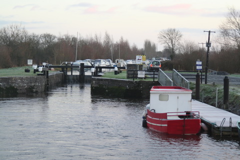
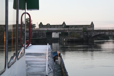
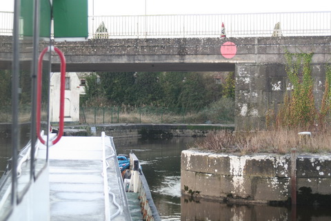
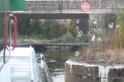
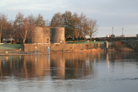
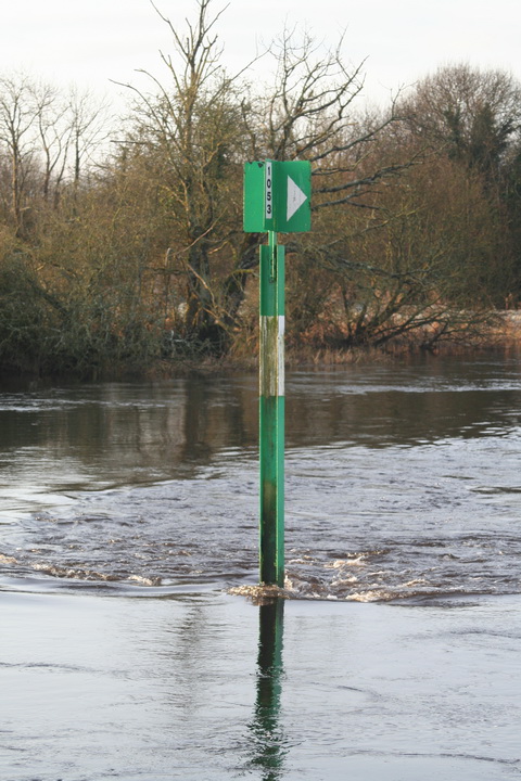
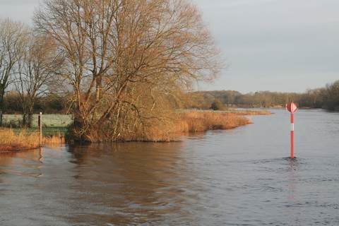
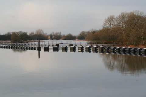
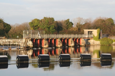
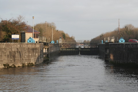
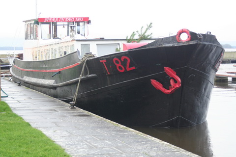
I had assumed that this blend of contentment and holy melancholy characterised the anglers of today. But when, having visited the excellent website of the Limerick and District Anglers Association, I moved instead to their FaceTweet page, I found that the modern angler’s lot is not a happy one. The angler has to contend with the iniquities of the Electricity Supply Board [which owns fishing rights on the Shannon], Inland Fisheries Ireland  [whose role on the Shannon I know not] and, now, kayakers.

In discussion of another post on the subject, the Association said:

Therefore canoeists who enter this section of river without permission are trespassing.

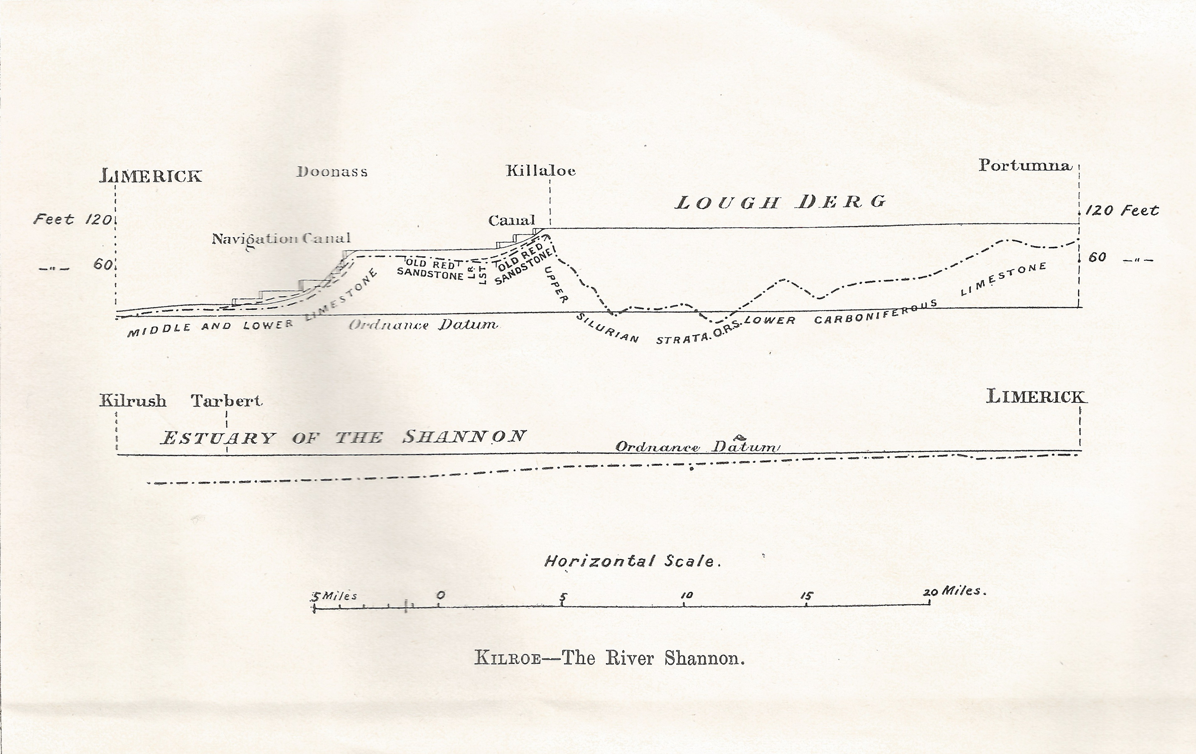
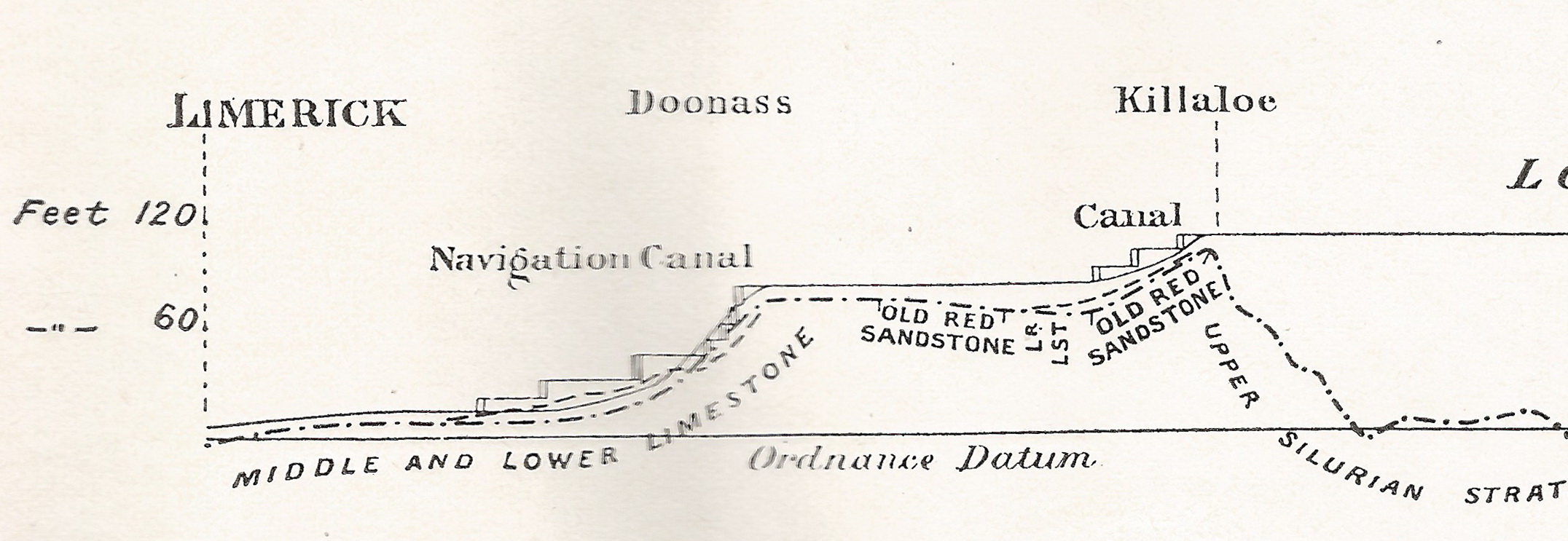
That interested me, and I thought I should look further into navigation rights on the Shannon. [Update 10 June 2015] I have posted my interim conclusions here.

There is a second point. The Old River Shannon Research Group repeated the kayaking topic on its FaceTweet page with this comment:

This is a commercial company trying to turn the Castleconnell beats into something like Lahinch has become with surfers. See their website here. This type of “development” requires Appropriate Assessment.

I am most reluctant to disagree with the learned Dr William O’Connor on anything, as he knows far more than I do about environmental matters, but his comment raised a second topic of interest and I thought I might look into that too. Again, I’ll post separately on that.

Interesting info from Waterways Ireland

Two interesting PDF documents available on this page:

No mention of Saunderson’s Sheugh, but I suppose dredging of the River Finn is proceeding.

Re-invention or re-creation?

I realise that many folk visit this website in order to find out what is hip and trendy, cool and with-it, in all sorts of fields, from beer to boating, casual dining to cost-benefit analysis. So, in order to keep readers down wid da kidz in da hood [as the young folk say], I’ve been checking out the latest, baddest [which means ‘goodest’, I gather, or what in the old days we would have called ‘best’], grooviest developments on tinterweb. It’s a thing called FaceTweet, and those cool dudes at Waterways Ireland have one of them. Hep to the jive, daddy-o [which means ‘How perfectly splendid, old boy’.]

As far as I can see, FaceTweet is in general intended for folk whose attention span renders them unable to read more than a single paragraph of continuous prose. But brevity is sometimes the soul of wit and good goods come in small parcels [sentiments for whose veracity I have not found peer-reviewed evidence]. And I was interested in Waterways Ireland’s self-description on the page:

Waterways Ireland is the Recreation Authority for over 1000km of Ireland’s Inland navigable waterways.

That phrase, Recreation Authority, does not occur in Waterways Ireland’s Business Plan 2015 [as approved by the North South Ministerial Council on 18 December 2014 and screwed up by the Council shortly afterwards] or in its Corporate Plan 2014–2016 [ditto]. Nor, according to its own search engine, is the phrase used on Waterways Ireland’s proper website [the search engine rather bafflingly reports “We don’t have any refiners to show you”].

Yet the concept of Waterways Ireland as a Recreation Authority is almost entirely in tune with the thinking underlying both of the plans and it is the neatest encapsulation I have yet seen of what WI is about.

I put in ‘almost’ there because the Corporate Plan‘s Executive Summary includes this:

Central to our vision for the future is the development of recreational, heritage and environmental opportunities that link people, history and nature, providing both local communities and visitors with compelling reasons to spend more time in the waterways environment.

While I’m all — well, somewhat — in favour of heritage and environment, the words seem to sit uneasily in that sentence: added as a form of ritual obeisance to the shade of Michael D Higgins, who ripped the rivers and canals from the sheltering embrace of the Office of Public Works engineers and proclaimed the waterways to be heritage artefacts. Heritage is no longer of great interest to TPTB and most people’s experience of it [whatever it is] is as entertainment or recreation; much the same applies to environment, which — for most people — is of interest only as providing a scenic background for more interesting activities.

So both heritage and environment can be subsumed under the heading of recreation, leaving Waterways Ireland with a neat, well-focused description of itself, a subheading for its title, and one that matches its Mission and Vision.

Mind you, it’s not entirely clear what a recreation authority is — Google finds relatively few [129000] instances of the term’s use, most of them in the Americas — but that might be no harm.

Waterways Ireland — the recreation authority

Hep to the jive, daddy-o: I like it.


A quick bit of sheughery

Here, read this. I haven’t time to take it all in at the moment, but the minister’s “An updated business case was recently completed for my Department” is, as far as I know, misleading: that business case was completed by DCAL in Northern Ireland and sent to Dublin. Thus, as the SF TD Mr Ó Snodaigh probably knows, the “business case” (which is not a cost-benefit analysis) came from a Sinn Féin minister’s department.

It seems our designation of “Saunderson’s Sheugh” was spot on.

Cycling the MGWR

From Michael Geraghty:

There is a photography exhibition currently running at the National Photographic Archive in Temple Bar’s Meeting House Square called Midland – Lár Tíre: Cycling the MGWR from past to present and features photographs along the 1,000km old Midland Great Western Railway (MGWR) network. The photographer, Pamela De Brí (my sister), cycled the 1,000km and recorded her journey as photographs and audio tapes.

The exhibition will run until Sunday 24 May 2015 and here is a link to an article on the Journal.ie.

The history of the MGWR is linked to that of Irish waterways more closely than, I think, that of any other Irish railway.

ESB Erne elvers

Northern Ireland Assembly question here.

The Shannon in winter

Downriver from Shannon Harbour to Dromineer in December 2014. It began as a bright, cold morning.

Shannon Harbour to Dromineer December 2014 01_resize

Leaving Shannon Harbour after icebreaking between the locks

Shannon Harbour to Dromineer December 2014 02_resize

Flooding to the south-east

Shannon Harbour to Dromineer December 2014 03_resize

But southward, look …

Shannon Harbour to Dromineer December 2014 06_resize

The Brosna

Shannon Harbour to Dromineer December 2014 73_resize

Heading for Banagher Bridge 1

Shannon Harbour to Dromineer December 2014 75_resize

Keeping close to the pontoons

Shannon Harbour to Dromineer December 2014 98_resize

Heading for Banagher Bridge 2

Shannon Harbour to Dromineer December 2014 103_resize

Heading for Banagher Bridge 3

There is a YouTube video of the shooting of the bridge here. It seems to start automatically, including sound; I don’t know how to avoid that.

Shannon Harbour to Dromineer December 2014 107_resize

Looking back at Banagher

Shannon Harbour to Dromineer December 2014 116_resize

Colours

Shannon Harbour to Dromineer December 2014 124_resize

Invernisk

Shannon Harbour to Dromineer December 2014 129_resize

Shannon Grove

Shannon Harbour to Dromineer December 2014 134_resize

Current

Shannon Harbour to Dromineer December 2014 140_resize

Scarpering heron

Shannon Harbour to Dromineer December 2014 146_resize

Colours

Shannon Harbour to Dromineer December 2014 149_resize

Marker and gauge

Shannon Harbour to Dromineer December 2014 151_resize

House

Shannon Harbour to Dromineer December 2014 169_resize

Boats at Meelick

Shannon Harbour to Dromineer December 2014 170_resize

Meelick weir

Shannon Harbour to Dromineer December 2014 174_resize

East bank

Shannon Harbour to Dromineer December 2014 176_resize

Protective boom

Shannon Harbour to Dromineer December 2014 181_resize

Sluices

Shannon Harbour to Dromineer December 2014 198_resize

Through Meelick Lock

Shannon Harbour to Dromineer December 2014 205_resize

One bird

Shannon Harbour to Dromineer December 2014 213_resize

Many birds

Shannon Harbour to Dromineer December 2014 221_resize

Reeds

Shannon Harbour to Dromineer December 2014 226_resize

Architecture

Shannon Harbour to Dromineer December 2014 228_resize

Munster Harbour

Shannon Harbour to Dromineer December 2014 233_resize

Delaying Eamon Egan

Shannon Harbour to Dromineer December 2014 235_resize

Gateway to civilisation

Shannon Harbour to Dromineer December 2014 237_resize

Connacht Harbour

Shannon Harbour to Dromineer December 2014 239_resize

Lough Derg: weather has changed

Shannon Harbour to Dromineer December 2014 243_resize

Journey’s end, Dromineer


Down to the sea in steps

On 28 January 1907 James Robinson Kilroe [near the bottom of the page] of H M Geological Survey read to the Royal Irish Academy a paper on “The River Shannon: its present course and geological history” [Proceedings of the Royal Irish Academy Vol XXVI Section B No 8 Hodges, Figgis & Co Ltd, Dublin; Williams & Norgate, London 1907]. I thought that Plate V was interesting.

Shannon Derg to sea

Plate V

Kilroe wrote:

It will be perceived that instead of the river being shallow over the unyielding Silurian slate-rock, set almost vertically, and striking across the river-course, it is deeper than over the limestone of Lough Derg, and much deeper than over the comparatively easily eroded Old Red Sandstone at Killaloe. The river-bed actually drops below the datum line above the town, while at the town it is 100 feet above datum.

Old Red Sandstone strata are here to be seen in the river-bank, and Silurian rocks in situ in its bed. A barrier is thus formed, partly of Silurian, and partly of Old Red Sandstone rocks, which without the artificial impounding weir would retain the waters of Lough Derg to a depth of some 104 feet opposite Derrycastle — two miles above Killaloe.

One might have expected to find a fairly level shallow bed from Killaloe northward, a sudden drop from slate-rock to the sandstone floor, and  a pronounced wide, well-formed valley in the limestone district southward to Limerick.

None of these elements exist; instead, we have the formidable barrier at Killaloe, naturally damming up a considerable depth of water in Lough Derg, and the river falling away southward by a series of rapids which correspond with drops in the canal, south of O’Briensbridge […], along an alternative course, possibly one used by a branch of the Shannon.

Here is an extract from the Plate V map, showing the steps of the (pre-Ardnacrusha) Limerick Navigation between Lough Derg and the sea.

Shannon Killaloe to Limerick

The steps of the canal (click to enlarge)

Upstream

Kilroe wrote of Lough Ree:

The waters of Lough Ree stood some 10 feet higher within recent times than they now do, as proved by evidence of solution, with under-cutting of limestone blocks, to be seen about five miles north-west of Athlone, close to the railway, in the townland of Cornaseer.

Under these conditions the lake must have been, perhaps, twice its width, and for a considerable period. Its ancient surface-level is clearly indicated by the caps of the mushroom-shaped blocks.

And of the Shannon between Lough Ree and Lough Derg:

The extreme flatness of the river between Athlone and Meelick is such that, consequent upon the completion of the Suck Drainage-works in 1892, it was found that the callows along the Shannon above the confluence of the Suck at Shannonbridge were much more liable to sudden and frequent floodings than they previously had been.

The more rapid discharge of the Suck waters into the Shannon, before ordinary extra water had time to pass away, had the effect of modifying the regimen of the main stream to an extent which resulted in an action at law [La Touche -v- The Suck Drainage Board].

I have found only one account of that case, in the Freeman’s Journal of 1 July 1893. The plaintiffs, Messrs Harrison and La Touche, owned land at Cappaleitrim, on the west bank of the Shannon above Shannonbridge. They said that the actions of the Suck Drainage Board had caused their lands to be flooded:

[…] that the defendants brought water from the Suck into the Shannon, containing a drainage of 40 miles, with such velocity and such volume that the Shannon was penned back, and that the back water caused the damage to the lands complained of.

[…] The jury disagreed and were discharged.

I don’t know whether the matter ever again came before a judge.

Willie Penrose notices the cuts

It is nice to know that at least one politician has spotted the most important issue affecting Waterways Ireland. Here’s what the minister told him about the 85% of WI’s current budget that comes from her department:

Funding allocated to Waterways Ireland 2011-2014
Year €m
2011 €30.300m
2012 €27.099m
2013 €25.463m
2014 €24.183m

Now, Willie, ask her how much of each year’s allocation is gobbled up by pensions.


Heather Humphreys on waterways

From the Financial Resolutions speeches:

I am committed to developing North-South co-operation within the broader arts, heritage and commemorative activities of my Department as well as through the funding of North-South bodies. A provision of more than €38 million is made available to support the two North-South implementation bodies — An Foras Teanga and Waterways Ireland. These budgets will be subject to the approval of the North South Ministerial Council in due course. The provision will enable Waterways Ireland to keep the waterways open for navigation during the main boating season and promote increased use for recreational purposes while developing and promoting our waterways to attract increased numbers of overseas visitors.

Nothing new there, I think, but note the repetition of a point I highlighted last year:

The provision will enable Waterways Ireland to keep the waterways open for navigation during the main boating season […].