Tag Archives: Killaloe

Crime at Castleconnell

Charles Connors, of Castleconnell, cot builder, has been committed to Killaloe bridewell, for violating the person of a servant girl on Monday morning, at the Doonass side. He crossed the river in a boat, upon the pretence of ferrying her over, and then committed the offence.

Tipperary Vindicator 9 December 1859

From the British Newspaper Archive run by Findmypast Newspaper Archive Limited, in partnership with the British Library.

The disappointed steamer

For one brief moment it seemed that the humble steamer Ballymurtagh might have a glittering future as a passenger vessel. Alas, it was not to be.

ESB water discharge info

Here is the ESB’s Notifications page, with info on the rate of discharge from its hydroelectric dams and weirs. Today (14 December 2015) Parteen Villa Weir is discharging 440 cumecs (cubic metres per second or, roughly, ton[ne]s per second down the original course of the Shannon. That’s 44 times the 10 cumec usually discharged and more than replaces the 400 cumec diverted through the headrace to the Ardnacrusha power station. The Shannon is therefore running at its pre-Ardnacrusha levels and the Falls of Doonass have regained their power.

Of course if Ardnacrusha didn’t exist, its 400 cumec would be coming down the original course of the Shannon on top of the 440 cumec already there, which would make for interesting levels of flooding.

That ESB page has a link to this infographic, which shows the sort of information I was trying to get across here. I usually start from Leitrim [village]; the ESB starts slightly further upstream at Lough Allen. Note that the Shannon’s few locks are concentrated upstream of Lough Ree: between them and Killaloe are only two locks, at Athlone and Meelick, so the river’s fall is very slight.

Update 2018: the ESB has a new page with lots of interesting information here.

Why the Shannon floods

From the search terms used, it seems that many people are visiting this site with questions about Parteen Villa Weir, water levels, Shannon floods and so on. They are not this site’s primary focus, but some non-technical information might be of interest.

The best place to start is with this quotation from a former web page of the Shannon International River Basin District:

The Shannon International River Basin District is the largest in Ireland at more than 18,000 km2 in area. It covers the natural drainage basin of the Shannon river itself, stretching from the source of the River Shannon in the Cuilcagh mountains in Counties Cavan and Fermanagh to the tip of the Dingle peninsula in north Kerry. It also includes coastal parts of Kerry and Clare which drain to the sea. It flows through 18 local authority areas and is also an international RBD as a small portion of County Fermanagh in Northern Ireland drains underground to the Shannon Pot.

The district is about one fifth of the area of the island, one quarter the area of the state. Rain that falls on that area of land ends up in the Shannon (or in a few small rivers in Clare and Kerry that flow to the sea). Some goes to the Shannon estuary or its tributaries; most flows into the non-tidal Shannon, which means the river upstream of Limerick.

The nature of the Shannon

Ireland has been described as saucer-like, with a high rim and a low flat centre. It’s not entirely true, but there certainly is a very large central plain, and the Shannon flows down through the middle of that. And, because the land it flows through is flat, the river falls very little.

In 113 miles from Leitrim to Killaloe, the Shannon falls just over 30 feet; the navigation channel needs only five locks. [By way of contrast, the Thames has 45 locks over 135 miles; the Trent has 12 locks over 42 miles.] So extra rainwater allows the Shannon to spread out, covering a much wider area, and it takes time for that water to drain away downstream. But many of the rivers that flow into the Shannon have been subjected to drainage schemes, so they can get rid of their flood waters quickly … into the Shannon.

Why don’t they open [or close] the weirs?

There are some weirs on the Shannon, designed to keep a minimum depth in the river for navigation; there are also some natural obstacles that hold water back. But once the level has risen high enough, water simply flows over the top of the weir, and there is nothing useful anybody can do — apart, of course, from farmers’ representatives and politicians, who can always make use of a photo opportunity.

The bottleneck

Almost all the water that enters the non-tidal Shannon will eventually flow through Killaloe, the town at the southern end of Lough Derg [it’s on the west bank, in Co Clare; the east bank is Ballina, in Co Tipperary].

As James Robinson Kilroe wrote in 1907,

[…] we have the formidable barrier at Killaloe, naturally damming up a considerable depth of water in Lough Derg, and the river falling away southward by a series of rapids which correspond with drops in the canal, south of O’Briensbridge […], along an alternative course, possibly one used by a branch of the Shannon.

The diagrams with that article are worth a look.

In the twelve Irish (fifteen statute) miles between Killaloe and the tidewater at Limerick, the river falls about 100 feet: more than three times its fall from Leitrim to Killaloe. In the nineteenth century, the water level at Killaloe used to change by about eleven feet between summer and winter — even without storms.  The old Limerick Navigation, including the canal Kilroe mentioned, could drain only a small amount of water (which could put the navigation out of action); the rest went down the river’s original course through the Falls of Doonass.

The relief channel

Nowadays, the Falls of Doonass are a shadow of their former selves, and the water level through O’Briensbridge, Castleconnell and Plassey is much below its previous levels. I suspect that the older, larger trees along the river show the original level, with the newer, smaller trees having grown since the 1920s.

The cause was the construction of a relief drainage channel in the 1920s. This channel is controlled by a weir at Parteen Villa [not to be confused with Parteen].

Actually, of course, it’s not a relief drainage channel. The weir [sometimes referred to as the Hydro Dam] controls the flow of water to the original course of the Shannon [the right-hand or eastern channel, which gets the first 10 cubic metres of water per second] and the headrace for the hydroelectric power station at Ardnacrusha [the left-hand or western channel, which gets the next 400 cubic metres of water per second, 100 for each of its turbines]. The power station was built to use that 100-foot fall of the Shannon, concentrated between Killaloe and Limerick, to generate electricity.

But one effect of the construction of Ardnacrusha was to provide a channel, the power station headrace, capable of taking [at least] 400 cubic metres of water per second away from the original river channel, thus reducing the likelihood of flooding.

Cumec

Water experts talk about cumecs: a cumec is a flow of one cubic metre, or 1000 litres, of water per second. And a cubic metre of water weighs about one [metric] tonne, which is roughly the same as an imperial ton. So one cumec is one ton of water per second, which is a lot.

It was said, on 8 December 2015, that the ESB, using Parteen Villa Weir, had released 315 cumec down the original course of the Shannon on the previous day and had increased that to 375 cumec. If the Ardnacrusha headrace was getting 400 cumec, then the amount of water being discharged from Lough Derg and the upper Shannon had doubled.

Floods

As far as I can see, the Shannon has always flooded. The 2009 floods affected some nineteenth century houses, which I guess would have been flooded even worse before Ardnacrusha was constructed. However, I suspect that more houses have been built on the flood plain since then. But I don’t see that there is any way to prevent Shannon floods.

Envoi

There is a good article in the Irish Times of 9 December 2015; it will no doubt disappear behind a paywall at some stage.

Here is an ESB infographic about the Shannon.

Shannon water levels 8 December 2015

North to south (more or less)

Floods 20151208 Shannonbridge 01_resize

Shannonbridge upstream

Floods 20151208 Shannonbridge 07_resize

Shannonbridge downstream

Floods 20151208 Shannon Harbour 04_resize

Shannon Harbour: 36th lock

Floods 20151208 Shannon Harbour 06_resize

Shannon Harbour: below the 36th

Floods 20151208 Shannon Harbour 16_resize

Shannon Harbour: road to Banagher closed

Floods 20151208 Banagher 03_resize

Banagher: the harbour above the bridge

Floods 20151208 Banagher 05_resize

Banagher: the harbour’s sole inhabitant

Floods 20151208 Banagher 09_resize

Banagher: work goes on

Floods 20151208 Portumna bridge 01_resize

Portumna Bridge: Hawthorn moving

Floods 20151208 Portumna bridge 03_resize

Portumna Bridge

Floods 20151208 Portumna bridge 02_resize

Below Portumna Bridge

Floods 20151208 Portumna bridge 10_resize

Above Portumna Bridge

Floods 20151208 Portumna bridge 12_resize

Portumna Bridge: Waterways Ireland yard

Floods 20151208 Mountshannon 01_resize

Mountshannon

Floods 20151208 Mountshannon 04_resize

Mountshannon: the main quay

Floods 20151208 Scarriff 01_resize

Scarriff: the river in flood

Floods 20151208 Scarriff 02_resize

Scarriff: the river flowing on to the road to the harbour

Floods 20151208 Scarriff 06_resize

Scarriff: sandbags blocking the road …

Floods 20151208 Scarriff 04_resize

… to the Waterways Ireland Shannon HQ. Anyone in the building must have waded there

Floods 20151208 Tuamgraney 01_resize

Tuamgraney

Floods 20151208 Killaloe 16_resize

Killaloe: the flash lock

Floods 20151208 Killaloe 26_resize

Killaloe bridge from downstream

Floods 20151208 O'Briensbridge 02_resize

O’Briensbridge

Floods 20151208 O'Briensbridge 05_resize

Water level with the quay at O’Briensbridge

Floods 20151208 O'Briensbridge 10_resize

Flooded fields at O’Briensbridge

O’Briensbridge is on the original course of the Shannon, downstream of Parteen Villa Weir, which controls how much water goes via the original course and how much goes to the hydroelectric power station at Ardnacrusha.

Normally, the original course gets the first 10 cubic metres per second (10 cumec, they say) of water and Ardnacrusha gets the next 400, 100 for each of its four turbines. In floods, any excess is sent down the original course, through O’Briensbridge, Castleconnell and Plassey. One newspaper today said that, on Monday 7 December 2015, 315 cumec had been sent down the original course and, on Tuesday 8 December, 375 cumec.

The water levels are still below the peak achieved in November 2009, but there is more to come: as the Shannon drains a very large amount of Ireland, and as it is falls very little in its upper reaches, it takes a long time for the runoff to reach Killaloe and Parteen Villa. It may be that the ESB, which controls Ardnacrusha and Parteen Villa, is now running down the level of Lough Derg to make room for the water that has yet to arrive from the upper Shannon.


Ambulance and A&E delays

Melancholy accident

At Garry Kennedy lead mines, County Tipperary, on last Tuesday, Thomas Doyle, a miner, had his leg broken by a portion of the mine falling in. He was conveyed to Killaloe, on Wednesday, and remained all night in the boat in great pain. He was brought to Limerick on Thursday, and is now in Barrington’s Hospital under the care of Surgeon Gore.

Clare Journal, and Ennis Advertiser 22 January 1849

From the BNA

A bit of a barney

Photos of lower Lough Derg during Storm Barney on the afternoon of Tuesday 17 November 2015.

IMG_6181_resize

From the R494 driving north from Ballina

IMG_6191_resize

From the same position, looking around the other side of the house

IMG_6196_resize

From The Lookout 1

IMG_6197_resize

From The Lookout 2

IMG_6205_resize

From The Lookout 3

IMG_6206_resize

At Castletown 1

IMG_6212_resize

At Castletown 2

IMG_6213_resize

From the beach at Castlelough 1

IMG_6216_resize

From the beach at Castlelough 2

IMG_6220_resize

From the beach at Castlelough 3

IMG_6223_resize

From the beach at Castlelough 4

IMG_6224_resize

From the beach at Castlelough 5

IMG_6226_resize

From the beach at Castlelough 6

IMG_6265_resize

From the beach at Castlelough 7

IMG_6231_resize

Crows at Castlelough

IMG_6240_resize

From the woods at Castlelough 1

IMG_6253_resize

From the woods at Castlelough 2

IMG_6283_resize

Dromineer 1

IMG_6296_resize

Dromineer 2

IMG_6299_resize

Dromineer 3

IMG_6337_resize

Dromineer 4

IMG_6345_resize

Dromineer 5

IMG_6348_resize

Dromineer 6

From the blatts

Walls

Low wall on the right

Low wall on the right

The Irish Times reported on 24 August 2015 [may disappear behind a paywall at some stage] that a woman with “a blood alcohol level of 280mg per cent” [I am unable to make sense of that measurement] had drowned in the Grand Canal near Portobello in Dublin. The account includes no evidence that the woman tripped over the low wall that borders the canal; I do not know whether such evidence was presented. Nonetheless

Dr Farrell [the coroner] said he would write to Waterways Ireland for the matter of the height of the wall to be evaluated in the public interest.

I hope that the first step will be a cost-benefit analysis of any proposed change.

Percy Place

On 26 August 2015 [possible paywall alert] the Irish Times said that

Waterways Ireland is to sell an infill development site at 53 Percy Place, Dublin 4, which could accommodate a four-storey office block or residential scheme. CBRE is seeking more than €1.6 million for the 0.04 hectare (0.1 of an acre) site on which there is a two-storey derelict building.

53 Percy Place, Dublin

53 Percy Place, Dublin

The price is interesting. The property was valued at €1.6 million in 2008. WI’s Annual Report and Accounts for 2013 say

Surplus assets represent those assets that the Body deem are not strategic and are available for sale. Valuations of surplus assets are based on Recoverable Market Value from Internal and External valuations reports.

Plot 8 valued at €7,000,000 (2012: €7,000,000); this was valued in September 2013 by GVA Donal O’Buachella.

Percy Place was valued at €800,000 (2012: €650,000) by Felicity Fox FRICS FSCSI Auctioneers Valuers & Estate Agent in December 2013.

47 Lennox Street was valued at €270,000 (2012: €195,000) by Richard Fawcett BSc (Hons) Valuation & Estate Management Valuer, Waterways Ireland based on expected sales proceeds at December 2013. Previously valued at €380,000 by CBRE in October 2008.

The Hatch Bar valued in 2012 at €45,000 (2012: €45,000) by Richard Fawcett BSc (Hons) Valuation & Estate Management Valuer, Waterways Ireland in 2012.

The first three properties were to be sold to fund the construction of the Clones Sheugh. I have heard nothing more of the other two sites, Lennox Streeet near Portobello and Plot 8 in the Grand Canal Dock at Ringsend, and I didn’t see what WI got for the Hatch Bar. However, WI may have done very well on the sale of some other surplus assets, achieving four times what it expected:

The Barges were valued in 2013 at €51,000 based on bids received. Previously valued in 2011 by Bryan Millar, Consultant Engineer Naval Architect and Marine Engineer at €13,000.

On the basis of its asking price for Percy Place, WI seems to believe that the property collapse is over; perhaps it is even now in negotiation to develop Plot 8 and build a sheugh all the way to Clones. In the meantime, if it gets €1.6 million for Percy Place, that will help to alleviate the damage caused by the smash-and-grab raid carried out by the Department of Fairytales to pay for Saunderson’s Sheugh.

Derg Marina

The same edition of the Irish Times reports that Derg Marina in Killaloe has been sold for €1.7 million to “a local investor”. It suffered in the floods of 2009 and would need considerable investment were it to be restored to its former use. The site may contain remains of the PS Lady Lansdowne.

Greenway blues

The Weekly Observer of 26 August 2015 reports in its print edition [the story is not yet online] that Great Southern Trail Ltd, the voluntary body that manages part of the old Limerick to Tralee railway route as a greenway, is to cease doing so on 8 November 2015. GST, said to be the only voluntary group in Europe to manage a greenway, hopes that CIE and Limerick City and County Council will take over the management of the route. The newspaper account suggests that the burden of maintaining the greenway and cycleway to EU standards was too great for a voluntary group:

In particular, a very small number of farm crossings are the subject of unfavourable comment due to the difficulties encountered in keeping them clean.

Art

The Ulster Canal Greenway has an artwork. Waterways Ireland is to be in charge of the Ulster Canal Greenway. But the Shinners haven’t gone away, you know:

[…] Sinn Féin councillor Brian McKenna voiced strong criticism of the efforts made at Government level over the past two decades to put in place the substantial funding necessary to guarantee that the reopening of the Canal – long identified as a crucial project for Co Monaghan tourism – was realised in full.

If their dedication to the Clones Sheugh is a mark of Sinn Féin’s approach to economic policy and public investment, we may expect grants for flax-growing to be reinstated immediately they’re elected. And for opening coal-mines and carrying corn to Dublin.


Cots and canoes at Castleconnell

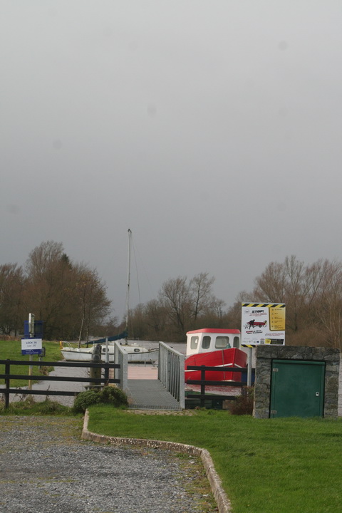
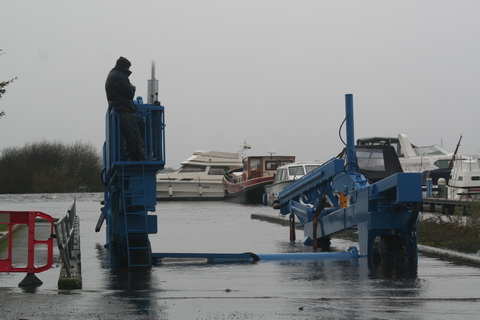
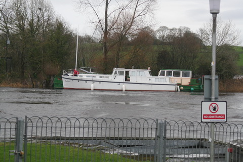
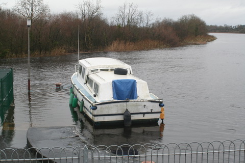
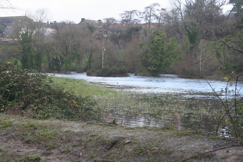
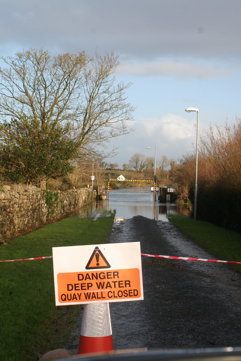
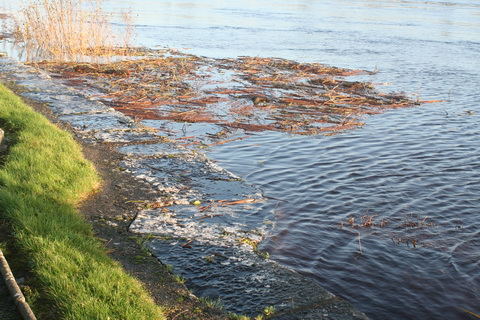
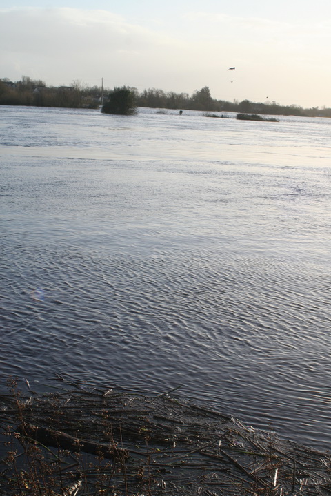
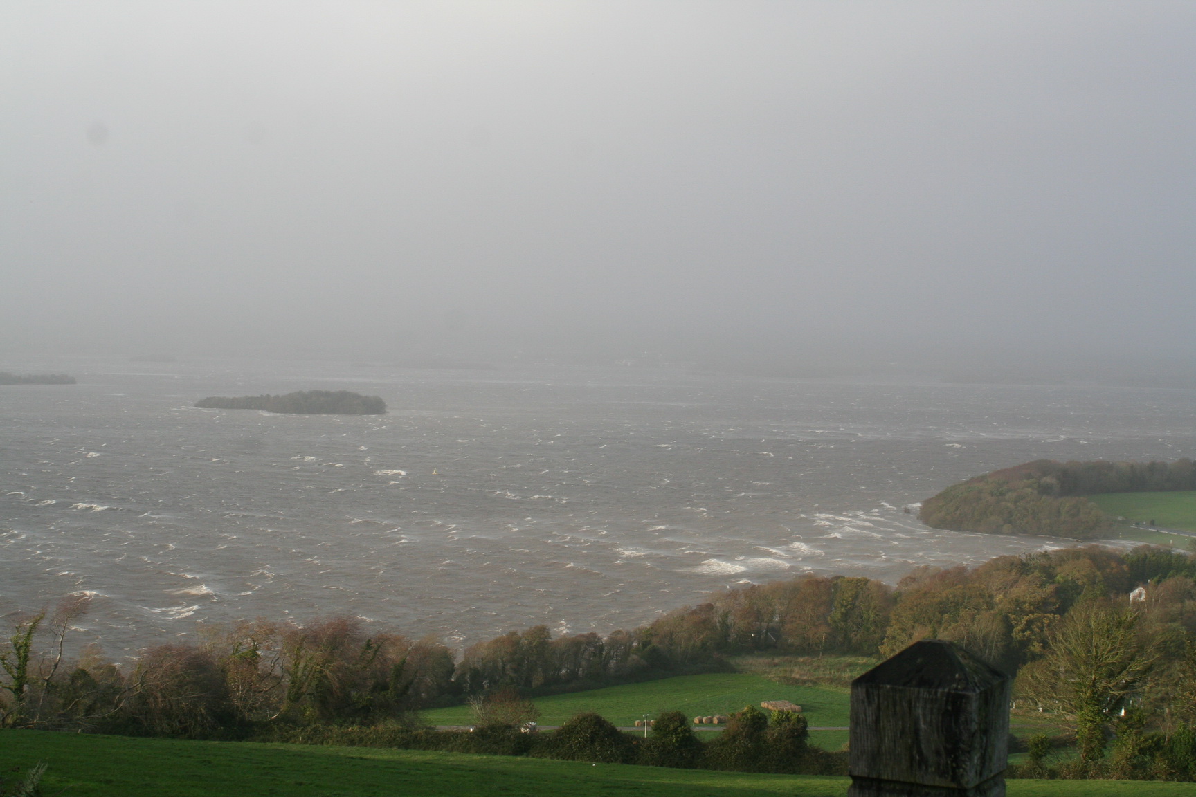
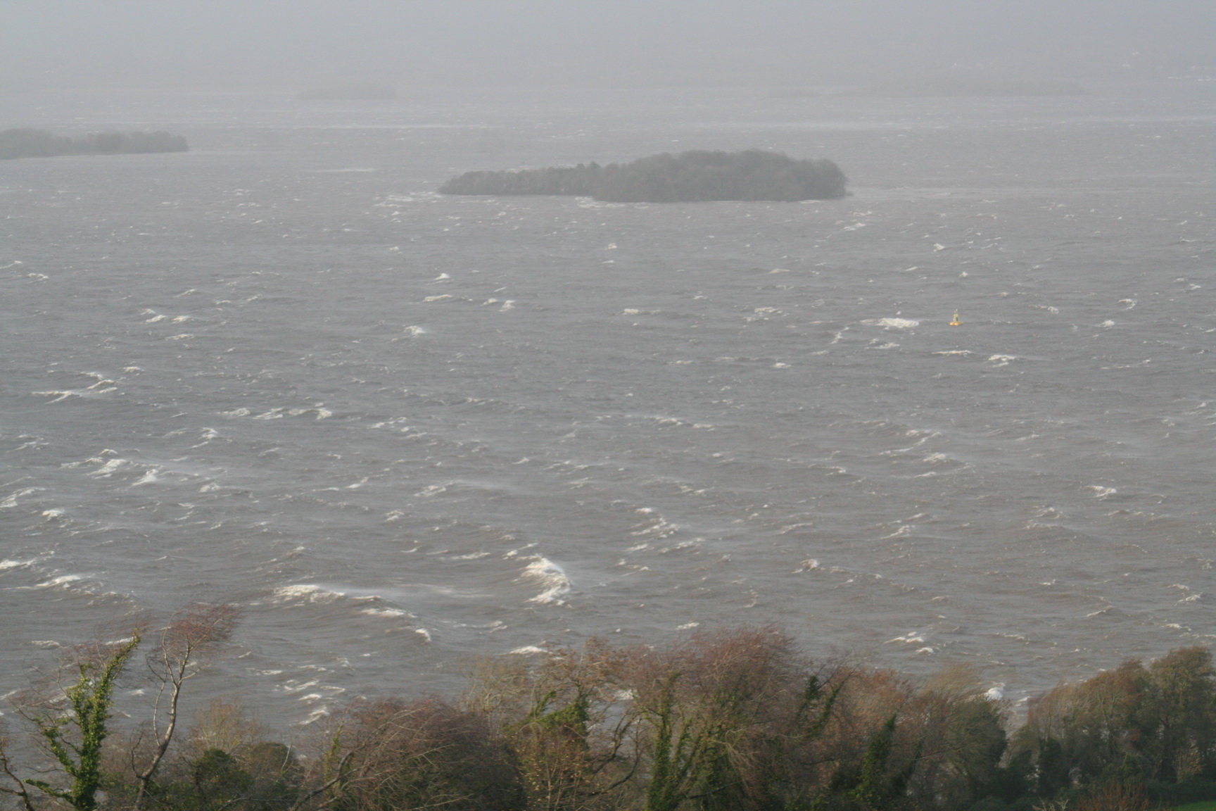
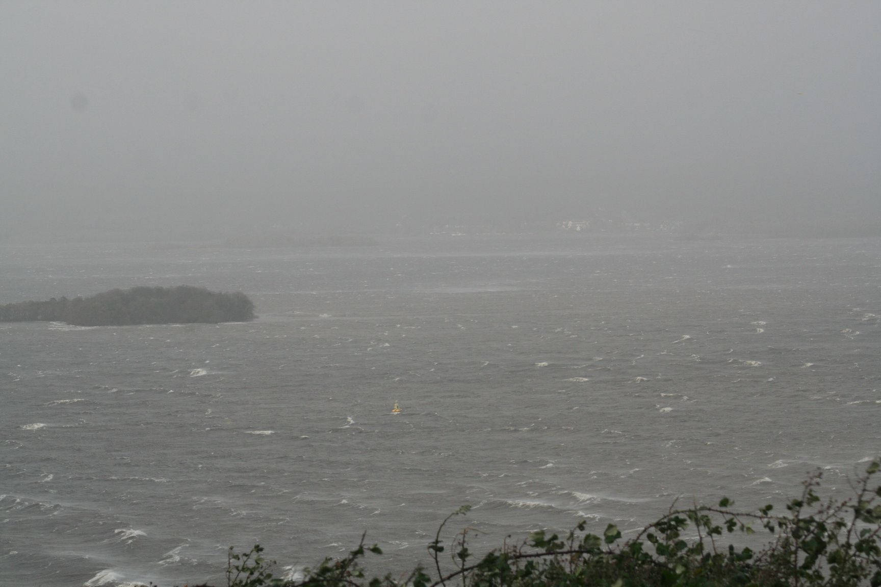
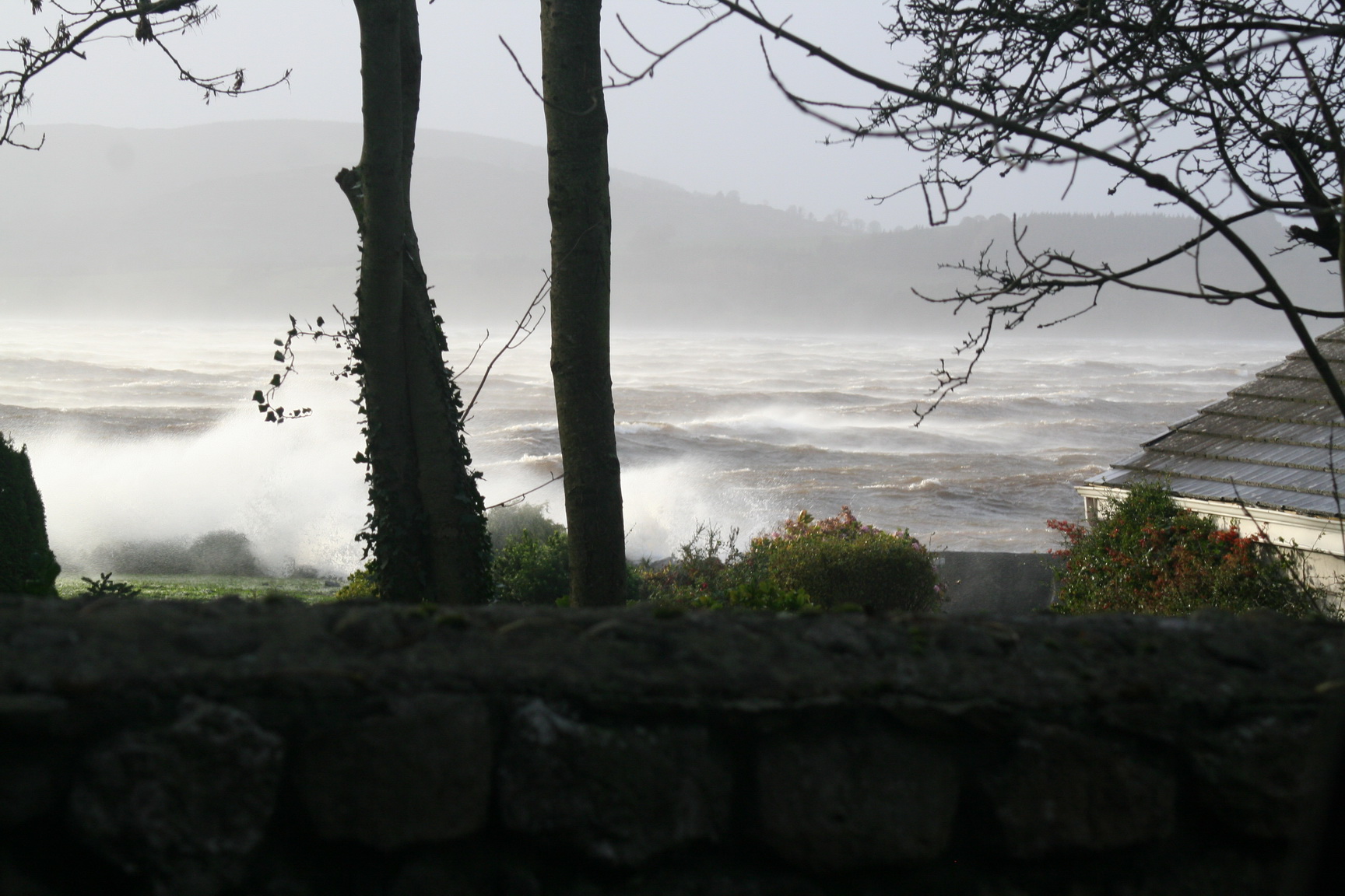
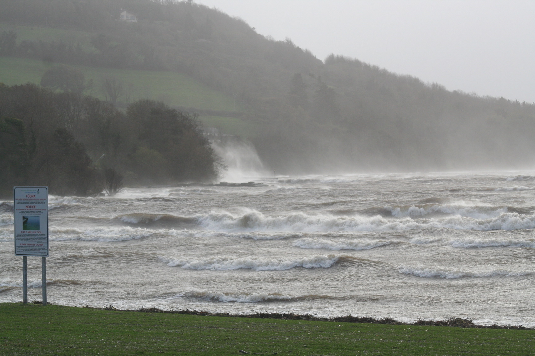
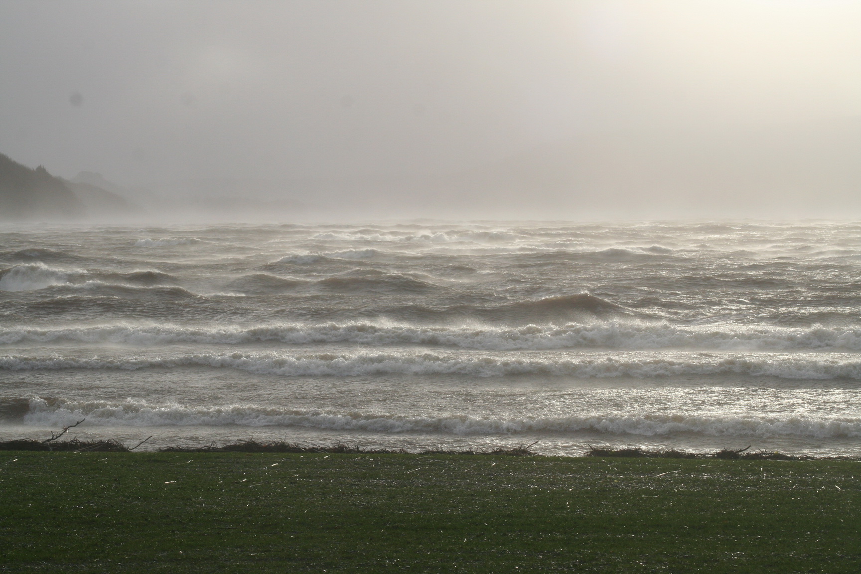
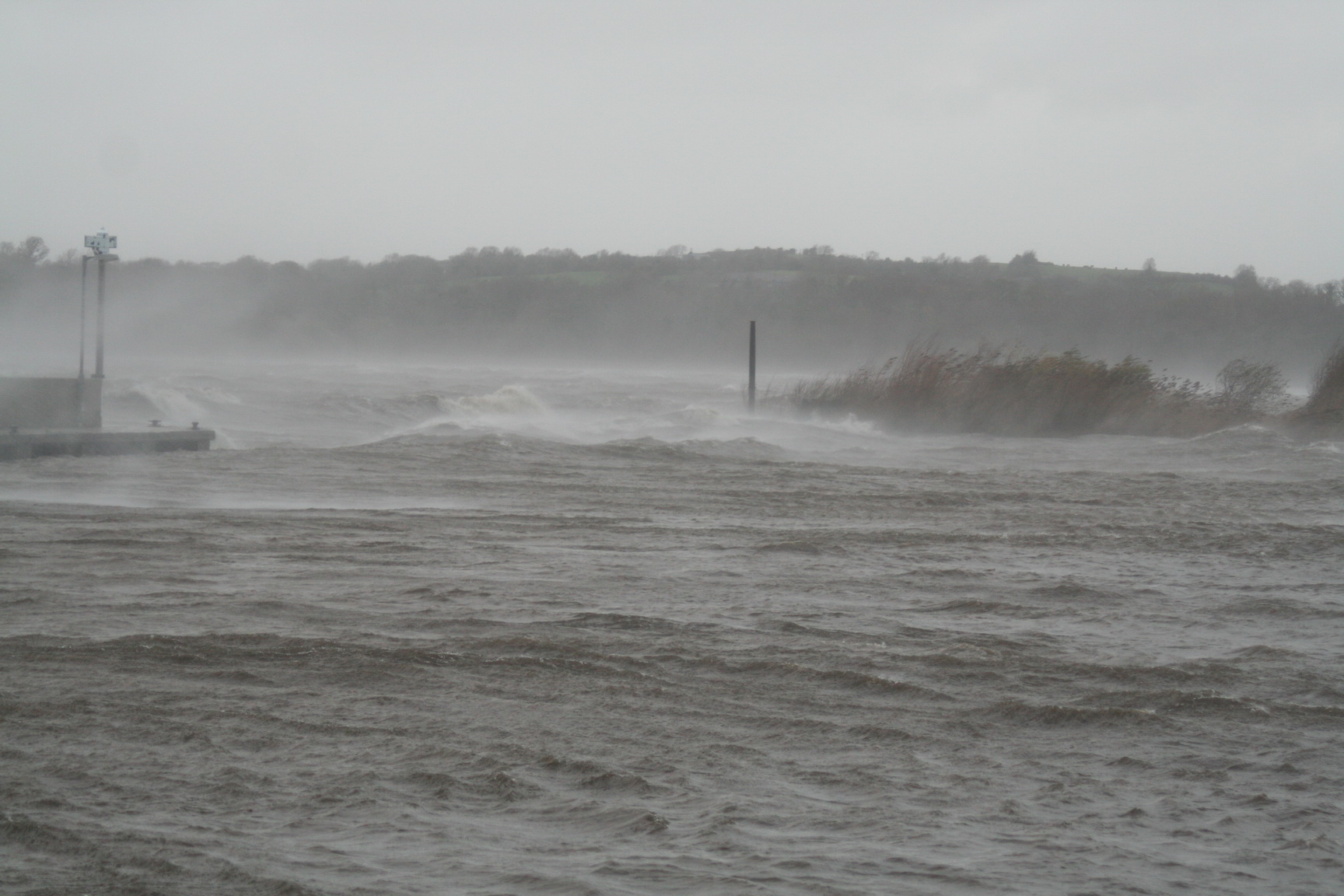
Castleconnell, in Co Limerick, is on the section of the River Shannon that includes the (broadly defined) Falls of Doonass. That section was bypassed by the Plassey–Errina Canal, one of the five parts of the Limerick Navigation, which navigation was largely abandoned after the construction of the Shannon hydroelectric power scheme in the 1920s. After that, vessels used the headrace, lock and tailrace of the Ardnacrusha power station to pass between Lough Derg and Limerick.

On 27 May 2015 I noted a statement by the Limerick and District Anglers Association about the Castleconnell section of the Shannon:

Therefore canoeists who enter this section of river without permission are trespassing.

Cots

That section of river was not, as far as I can tell, navigated by cargo-carrying vessels; it would be surprising had they been able to do so, even downstream. However, it was navigated by narrow cots. Lady Chatterton in her Rambles in the South of Ireland during the year 1838 [Vol II Saunders and Otley, London 1839], wrote

We have passed the last few days at Doonass, a beautiful place near the rapids of the Shannon. The sound of those rushing and falling waters was most soothing and melodious, as heard from the house, which is situated at some distance, in a beautiful park, sloping down to the river.

I walked several times on its banks to enjoy the splendid sight, and to watch some people who were fishing for salmon. It made me quite nervous to see the boats shoot some of the falls, knowing that unless they had kept exactly the right course, they would have been inevitably dashed to pieces.

In A Week at Killarney [Jeremiah How, London 1843] Mr & Mrs Samuel Carter Hall wrote

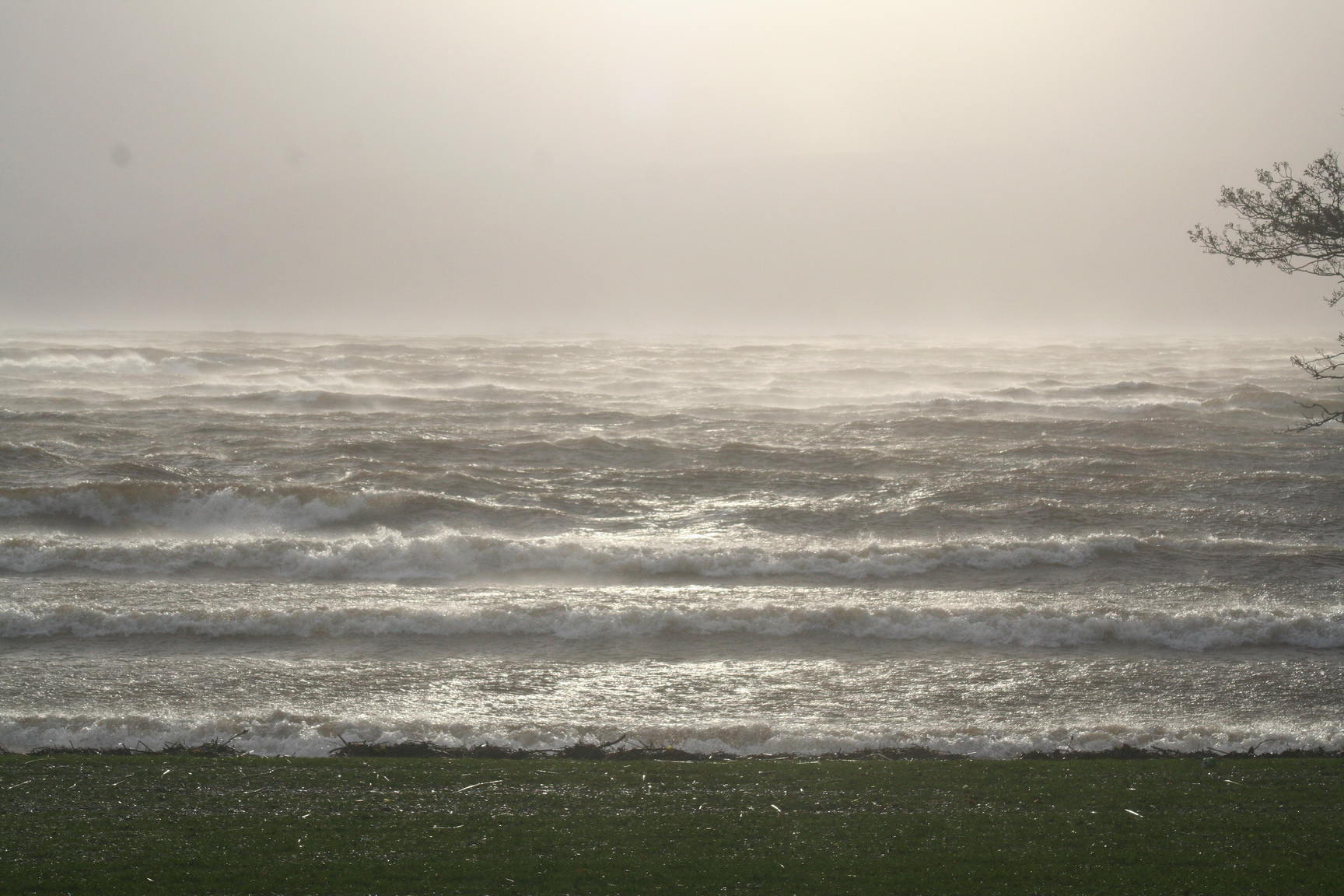
Castle Connell, a village about six miles from the city [of Limerick], is perhaps unrivalled in the kingdom for natural graces; and immediately below it are the Falls of Doonas, where the river rushes over huge mountain-rocks, affording a passage which the more daring only will make, for the current — narrowed to a boat’s breadth — rushes along with such frightful rapidity, that the deviation of a few inches would be inevitable destruction. [*]

This, although the most remarkable of the falls, is succeeded by several others, between Castle Connell and Limerick — the whole scene, however discouraging to the political economist, as presenting a picture of wasted strength, being delicious in the highest degree to the lover of natural beauty.

0125 The Falls of Doonass_resize

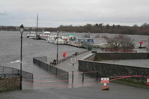
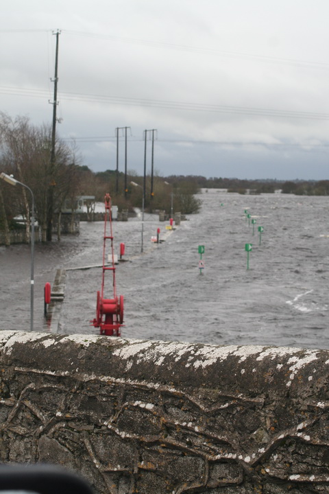
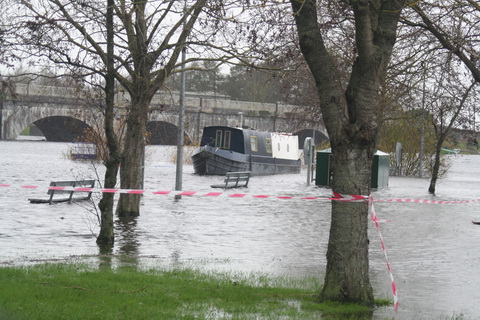
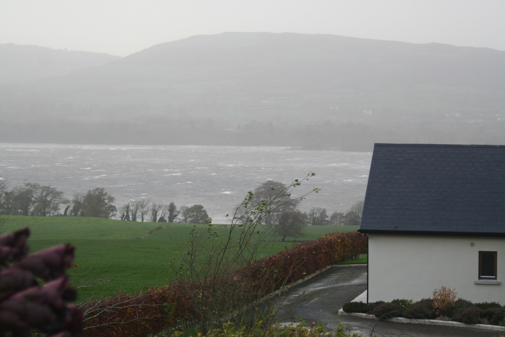
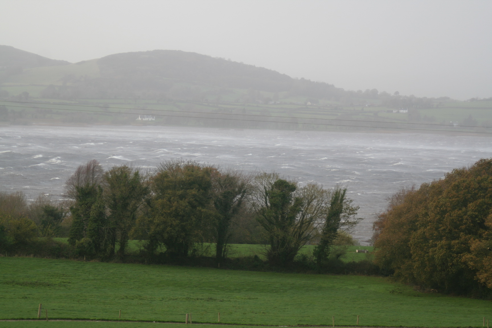
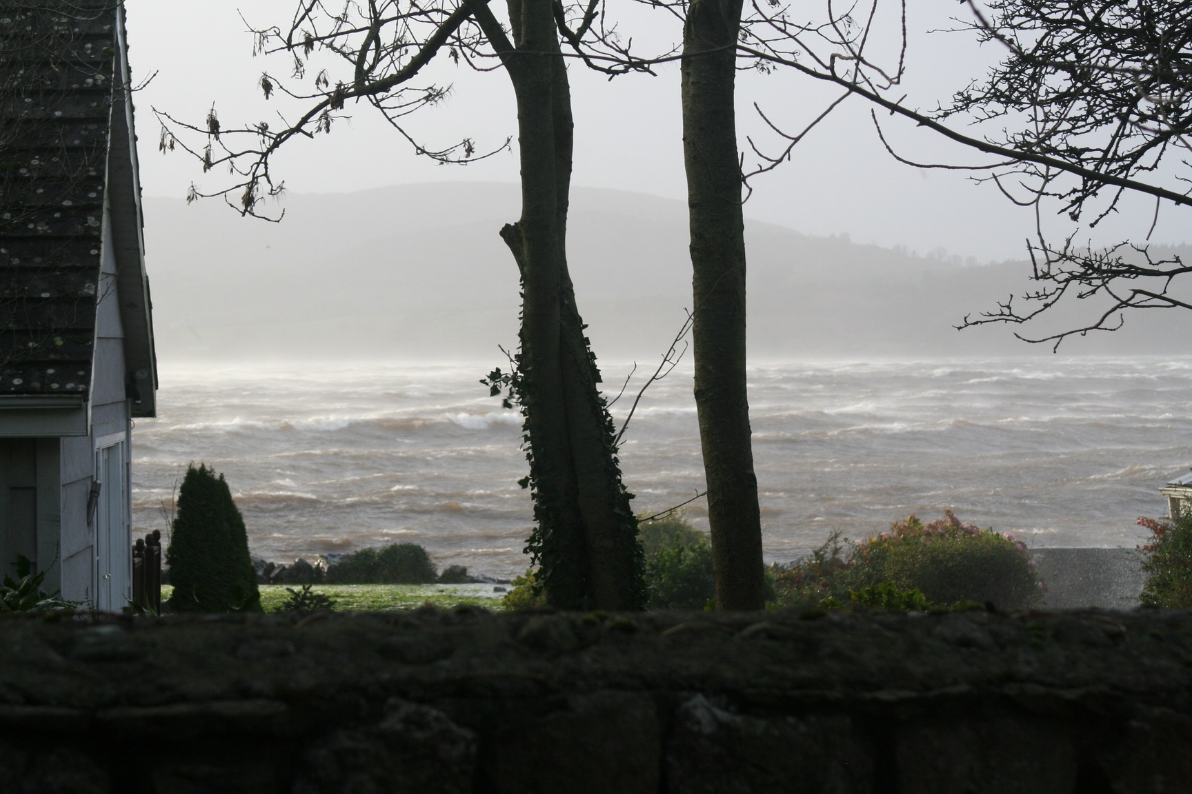
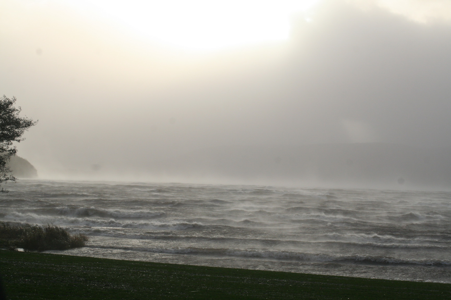
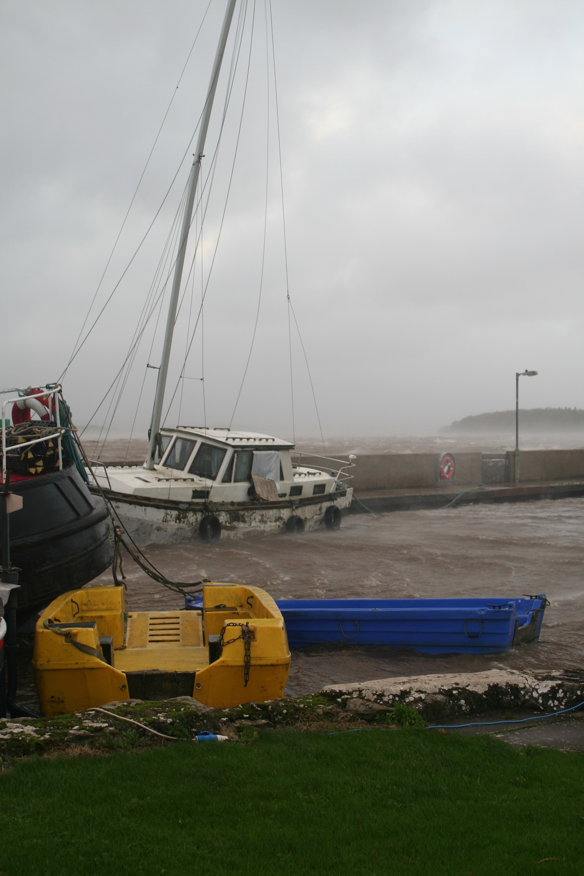
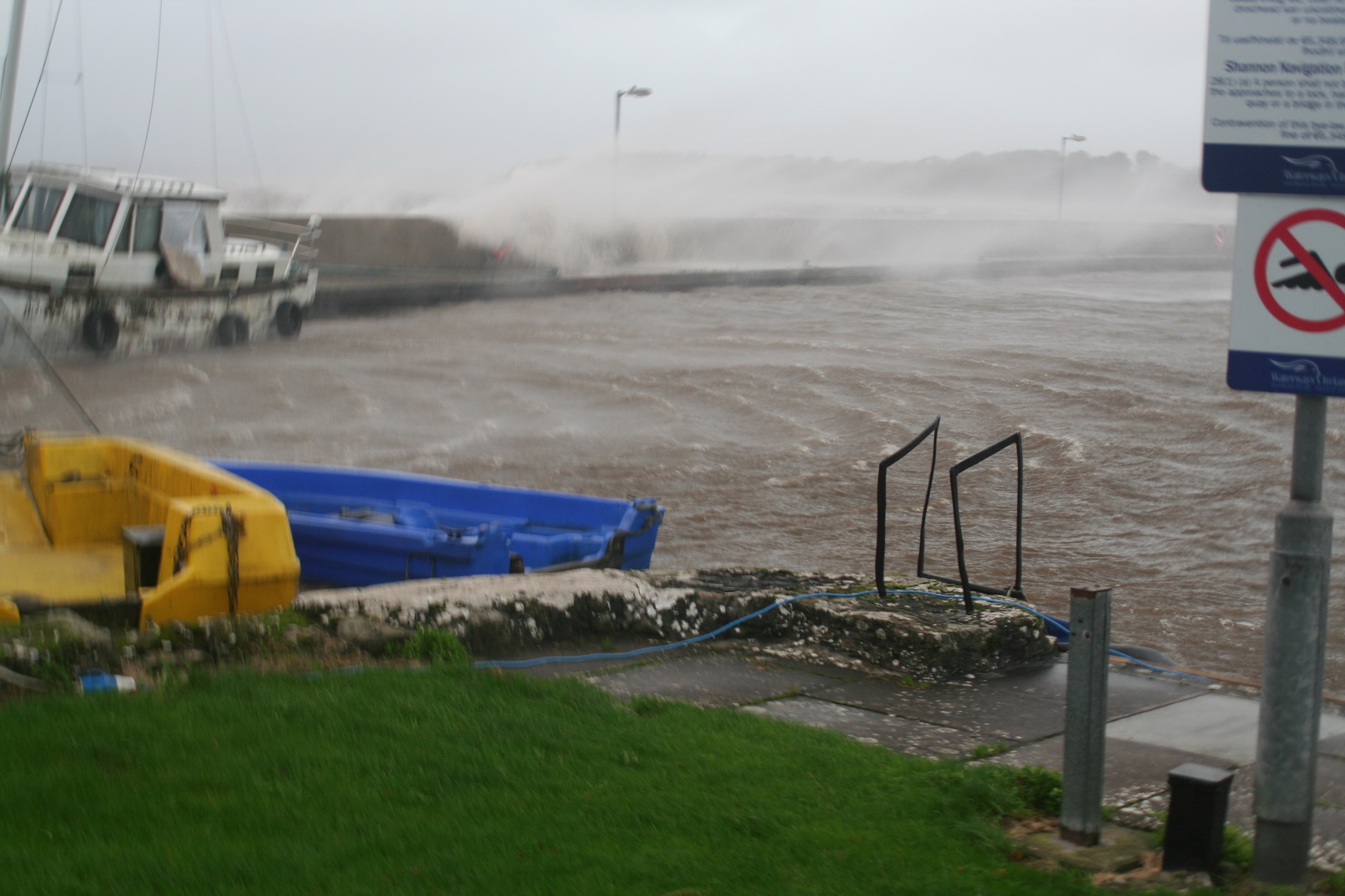
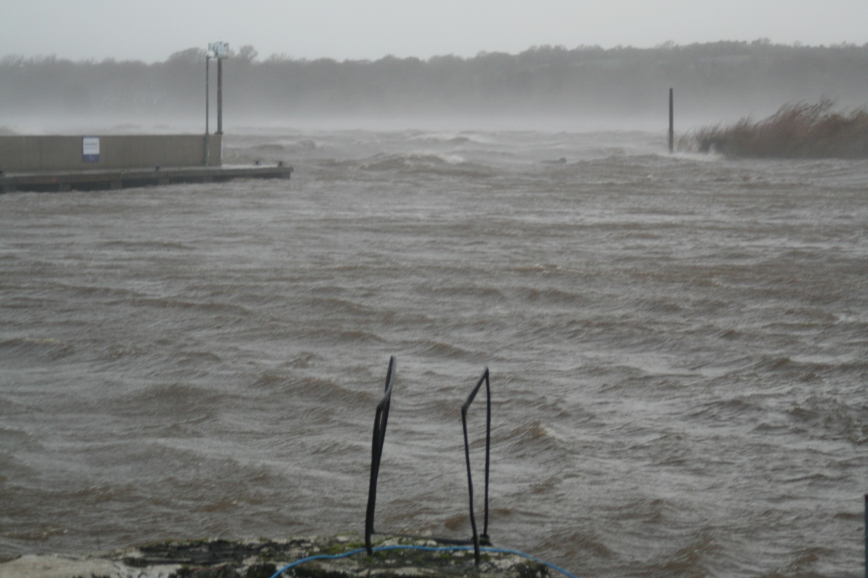
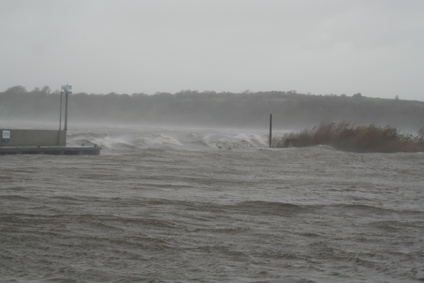
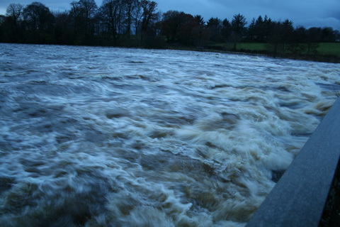
The river at Castleconnell by night in the floods of 2009

[*] We cannot easily forget our sensations of mingled alarm and enjoyment, while rushing along this course — at night, but by the light of a brilliant moon; it was exciting to the highest degree. We had confidence in our helmsman (if so we must term the man with the paddle-rudder he held in his hand); yet every now and then the voyage was a startling one, and the danger quite sufficient to shake stronger nerves than ours. He had nothing to do but to keep a keen eye upon the rocks at either side, and guide his “cot” by pushing aside a wave with a strong arm, so as to keep in the centre of the current; and he did so with wonderful accuracy.

Copy of 0107 Mr & Mrs S C Hall at Doonass (1843)

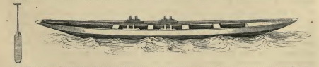
The Halls’ sketch of a cot

We were afterwards convinced that there was in reality no more peril than there would have been upon the Thames; for the boatmen are so skilful and so well-practised, that they govern their boats with absolute certainty.

The boats are flat-bottomed (for often the stream is not above a few inches deep), narrowed, and squared at the stem and stern. The paddle is a piece of flat wood, about three feet long, increasing from the handle to the breadth of about ten inches; only one is used, which the man changes from side to side according to the direction in which he desires to proceed — using it alternately to advance the boat, and as a helm to steer its course. We refer more especially to the boats used by the fishermen, in which the oars are seldom resorted to; for they are pushed up the stream by a long pole, and the current takes them down it without an effort.

And who can forget the stirring scene in L A Hall’s short story “Which was the bravest?” [in The Magnet Stories for Summer Days and Winter Nights Groombridge and Sons, London, no date, but my copy was a Christmas present in 1862, albeit not to me] in which Herbert, the English youth, falls over when attempting to pole a cot up the river at Castleconnell? The boatman, Lawlor, speaks:

“Sure the young gintleman wanted to try what stuff the Irish poles were made of, and small blame to him if the Irish rock and the Irish ash were too hard for him.”

This was all the work of a moment, during which Lucius [Herbert’s cousin, who lives near Doonass], well accustomed to the Shannon navigation, manfully stemmed the torrent with his single pole.

Not many Etonians could manage that nowadays, I imagine. But then there may not be as many Etonians around Doonass.

The Shannon Navigation

Note that L A Hall [of whom both Google and I are largely ignorant] used the term “Shannon navigation”. I had initially assumed that the Limerick Navigation Company, in its several manifestations, would have had no interest in this stretch of river and that therefore the Shannon Commissioners, and their successors the Board of [Public] Works and, now, Waterways Ireland would not have acquired any interest in its navigation.

I thought that there might have been a public right of navigation, as outlined by Douglas Caffyn, but that in any case such a right had been protected by the beneficence of Her late Majesty Victoria, by the Grace of God of the United Kingdom of Great Britain and Ireland Queen, who caused Her ministers to insert this provision in the Shannon Navigation Act 1839 [CAP LXI An Act for the Improvement of the Navigation of the River Shannon 17th August 1839]

XXXVI. And be it enacted and declared, That the said River Shannon is and for ever hereafter shall be, to all Intents and Purposes a public navigable River; and that all the Queen’s liege Subjects may have and lawfully enjoy their free Passage in, along, through, and upon the said River Shannon, with Boats, Barges, Lighters, and other Vessels, and also all necessary and convenient Liberties for navigating the same, without Let, Hindrance, or Obstruction whatever, on paying such Rates, Tolls, and Duties as are by this Act appointed to be paid, and complying with such Rules, Orders, Regulations, and Bye Laws as shall be made by the said Commissioners under the Provisions of this Act: Provided always, that nothing herein contained shall be construed to exempt any Person or Thing from the Payment of any Tonnage, Quayage, Rateage, or other Dues payable under an Act passed in the Fourth Year of the Reign of His late Majesty King George the Fourth, intituled An Act for the Erection of a Bridge across the River Shannon, and of a Floating Dock to accommodate sharp Vessels frequenting the Port of Limerick, and of an Act passed in the Fourth and Fifth Years of the Reign of His late Majesty King William the Fourth, intituled An Act to amend an Act passed in the Fourth Year of the Reign of His late Majesty King George the Fourth, intituled “An Act for the Erection of a Bridge across the River Shannon, and of a Floating Dock to accommodate sharp Vessels frequenting the Port of Limerick”, or from Compliance with any Rules or Regulations imposed or to be imposed by the Commissioners appointed under the said Two last-mentioned Acts.

There is one possible complication in the same act:

XXXIX. And be it enacted, That the said Commissioners shall, within Six Months from the passing of this Act, or at such other Time or Times as shall seem to them most expedient, fix and determine the Limits of the said River Shannon, and such of the Rivers aforesaid, or Parts thereof, as shall be improved under this Act, as to them shall seem expedient, within which all the Powers and Authorities by this Act given to the said Commissioners for the Care and Conservancy of the said Rivers respectively shall and may be exercised; and a printed Notice giving such Description of the Limits so fixed, with such Map or Plan thereof as to the said Commissioners shall seem expedient, shall be posted on each Toll House on or near the said River Shannon, and such of the Rivers aforesaid as to them shall seem expedient, and at every Place where a Table of the Tolls or Rates to be taken on the said River respectively shall be posted, and at such other Places as to the said Commissioners shall seem expedient.

The limits were set out in maps and minute books, which are listed in Schedule E of the Third Report of the Commissioners for the Improvement of the Navigation of the River Shannon published in 1842 [I don’t think that report is available online]. I’ve never seen the maps and minute books and so I don’t know whether they say anything about navigation on the relevant stretch of river, but the list includes:

Map 2 Map of part of the Shannon and the Canal, from Arthur’s Ferry to Castleconnel and World’s End (County of the City of Limerick, Counties of Limerick and Clare); Minute Book pages 7 to 11 inclusive; also 14 to 21 inclusive […]

Map 2B Plan and Sections of Clareville, or Prospect Mill-dam (County of the City of Limerick, County of Clare); Minute Book pages 9, 10, and 11

Map 2C Plan and Sections of Doonass Salmon-cribs, and of Water Park Bleach Mill-dam (Counties of Limerick and Clare); Minute Book pages 9, 10, 11, and 12

Map 3 Map from World’s End to Killaloe (Counties of Clare, Limerick, and Tipperary); Minute Book pages 11 & 12; also 21 to 26 inclusive; also 30 to 32 inclusive.

Apart from Map 2, those seem to be about water (mill) rights and salmon rather than about navigation, but I hope to check that with Waterways Ireland. The Commissioners may have decided that the Castleconnell stretch of the river lay outside the limits of the Shannon, and that navigation thereon was not therefore protected by the provisions of Section XXXVI. Even then, though, a public right to navigate may have continued to exist. On the other hand, the Commissioners’ limits may not have affected navigation on this stretch of river.

It is also possible that some later enactment affected navigation.

the ESB

An entire series of enactments, from the Shannon Electricity Act 1925 onwards, empowered either the Minister for Industry and Commerce or the Electricity Supply Board [ESB] to do various things connected, more or less, to the construction and operation of the hydroelectric power station at Ardnacrusha. Under the 1925 act, for instance, the minister was empowered [inter alia] to

3. […] (b) impound, hold up, divert, take, and use the waters of the River Shannon and any river or stream tributary thereto and any lake, pond, or canal thereon or connected thereto;

(c) embank, dam, dredge, deepen, widen, straighten, divert, and otherwise alter the River Shannon or any river or stream tributary thereto;

(d) embank, dam, dredge, alter the level of, and otherwise affect any lake, pond, or other water on or connected directly or indirectly with the River Shannon;

(e) remove, or alter, repair, construct, and maintain such sluices, weirs, dams, embankments, and other works as may be necessary for or incidental to the doing of any of the things mentioned in the foregoing paragraphs […].

Under the Electricity (Supply) Act 1927 the minister was empowered to prohibit navigation during construction; blocking off the river with Parteen Villa Weir probably made that easy to enforce. The Board was also empowered to prohibit navigation after taking over the works:

(3) When the handing over of the Shannon works to the Board under this Act is completed the Board, notwithstanding any such enactment as aforesaid, may by order, for the purposes of the operation of the Shannon works or of the exercise of any of the powers or the performance of any of the duties or functions conferred and imposed on the Board by or under this Act prohibit navigation in or upon the River Shannon or any particular part thereof specified in such order for such limited period of time specified in that behalf in such order as may be required by the Board for the purposes aforesaid.

That came before the ESB got the fisheries rights, so I can’t see that it’s relevant to any restriction of navigation in the interests of fisheries.

I searched the splendid Irish Statute Book for both Acts and Statutory Instruments with combinations of terms like Shannon, electricity, navigation, salmon and fishery. I then read — well, searched and skimmed — every relevant enactment I could find. I am not a lawyer, but it seemed to me that the only enactment under which the ESB might restrict, or have restricted, navigation, by kayaks or canoes or anything else, on the Shannon through Castleconnell, is the Shannon Fisheries Act 1935, of which more below.

Just for completeness, I should say that the Shannon Fisheries Act 1938 includes this section:

3.—Nothing in this Act shall operate to prejudice or affect any right of the Commissioners of Public Works in Ireland in relation to the navigation of the waters of the River Shannon.

That’s a useless provision, I think, because if the Commissioners of Public Works lost anything it was under the 1935 Act; the 1938 Act did nothing to restore any rights lost under the 1935.

Finally, the Electricity (Supply) (Amendment) Act 1945 allows the ESB to prohibit navigation but it doesn’t seem to apply to the Shannon: only to rivers on which power stations were to be built after 1945.

The Shannon Fisheries Act 1935

The most important part of the act is Section 9 (1) (d) but 9 (2) (a) may also be of interest:

(1) It shall be lawful for the Board to do all such things, carry out all such transactions, and fulfil all such functions as shall be necessary or proper for or incidental or ancillary to the due performance of the duties in relation to the Shannon fisheries imposed on the Board by this Part of this Act, and in particular and without prejudice to the generality of the foregoing powers, it shall be lawful for the Board to do all or any of the following things, that is to say:—

[…]

(d) terminate, restrict, or otherwise interfere with, either permanently or temporarily and either compulsorily or by agreement, any easement, way-leave, water-right, fishing right, or other right over or in respect of any land or water;

[…]

(2) Nothing in this section shall operate to authorise the Board—

(a) to do anything compulsorily without paying compensation therefor […].

Implementation

In order to check my conclusion, I emailed the ESB fisheries department on 26 May 2015:

I note that you say that canoeists and kayakers must seek your permission to use the Shannon at Castleconnell. I would be grateful if you could tell me:

(a) the legislation (Acts or Statutory Instruments) empowering you to make that stipulation

(b) the details of the Board decisions making it and

(c) the details of the stipulation itself. Does it, for instance, apply only to kayaks and canoes or are other vessels, and non-vessels such as jetskis or hovercraft, covered too?

The fisheries department very kindly replied on the same day:

Please note that ESB is not seeking to prevent kayakers or canoeists from using the river but as we operate the stretch of the Shannon River in Castleconnell as a private salmon fishery we are obliged to consider the interests of the anglers who use the fishery and pay to do so.

Since we introduced the requirement for kayakers to contact ESB Fisheries when intending to use the river at Castleconnell, no kayaker has been refused permission.

The legislation empowering ESB to regulate activity on the Shannon is contained in the Shannon Fisheries Act 1935 – Section 9.1 (D).

If you wish to discuss the matter please contact [name and telephone number redacted].

I prefer to have records of such discussions so I replied by email on 27 May 2015:

[…] I should say that I have no interest or stake in either angling or canoeing/kayaking per se. My interest is in the management of the Shannon, and in particular in navigation thereon, past and present.

[…] my interest in the navigation of the Shannon from Castleconnell downstream was excited recently by some comments by anglers on what kayakers might or might not do. Accordingly, I searched the Irish Statute Book database for all Acts and Statutory Instruments dealing with the ESB, the Shannon and salmon fisheries. I read every Act or SI I found on those subjects.

I found nothing to indicate that the right to navigate the Shannon, from Castleconnell downstream, had been extinguished or that the ESB had been appointed as a navigation authority with the right to control navigation; I note that the ESB makes charges for boats on some other fisheries but not on the Shannon.

I acknowledge of course that there may be documents I have not seen and that I may have missed or misinterpreted something in those I did read.

ESB> Shannon Fisheries Act 1935 – Section 9.1 (D)

That was the only enactment I found under which I thought the ESB could take any action that affected navigation. Indeed the section appears to allow the ESB to use helicopter gunships to deter poachers if it so desires.

However, that is an extremely broad enactment, and I have not found, in the Irish Statute Book or anywhere else, any information about these matters:

  • what strategic decisions the Board has made on this subject, or what decision-making powers it has conferred on its fisheries staff
  • in the implementation of that Section, what decision-making process the ESB followed and how it consulted citizens (other than anglers)
  • whether the Board has actually decided to “terminate, restrict, or otherwise interfere with, either permanently or temporarily and either compulsorily or by agreement, any easement, way- leave, water-right, fishing right, or other right over or in respect of any land or water”
  • if it has so decided, what the details of the decision are: details both of its making and of its application
  • how such decision is consonant with other legislation
  • how the decision was promulgated and where the details can now be found
  • what appeal and compensation mechanisms have been set up to enable the Board to meet the provisions of Section 9.2 (a)
  • what case law exists on the subject.

I have also been unable to find any enactment providing that citizens are obliged to obey any such decision or that any action can be taken against them if they decide to ignore it.

Let me say again that I acknowledge that my inability to find information doesn’t mean that it does not exist. However, I would have expected that, in any case where my [presumed] rights [eg to navigate] were affected, the relevant regulations would be readily available and the authority under which they were made would be clear. I would therefore be grateful if you would let me have the details, which I would like to publish on my website.

I sent that two weeks ago today; I have not yet had a response.

My current understanding

I acknowledge that the ESB has the right to ban navigation on the Shannon through Castleconnell if it wants to do so. I also acknowledge that it is possible that it has done so and even that it may have taken its decision validly and in accordance with the principles of natural or constitutional justice.

However, the ESB has not yet shown that it has taken that decision and done so validly and in accordance with the principles of natural or constitutional justice. I have found no evidence that it has and, in two weeks, the ESB has not provided any. All we have to go on is a pair of unsupported assertions, one by the  Limerick and District Anglers Association [whose concept of trespass I do not understand] and the other by the ESB fisheries department, saying that would-be navigators must contact them, but without citing any authority for that demand.

As matters stand, I see no reason why that demand should be complied with. But, again, I acknowledge that I do not have full information.

Piscator, Navita and Shannon navigation rights

I was never any good at fishing. The only time I ever caught anything was when fishing for mackerel with feathers from a boat, which is [I gather] the equivalent of shooting fish in a barrel [surely a pointless exercise: if you wanted to catch or kill them you could just let the water out of the barrel].

My knowledge of angling comes, therefore, almost entirely from two sources. The first is observation: from the comfort of a boat, I’ve seen anglers along riverbanks, huddled under umbrellas in the rain, miles from any amenities. They don’t seem to be having a lot of fun, but that is no doubt because they “affect a holy melancholy”, as explained in my second source.

Izaak Walton begins his The Compleat Angler or the Contemplative Man’s Recreation, being a Discourse of Rivers, Fishponds, Fish, and Fishing [a 1904 edition available here] with a friendly argument between Piscator, Venator and Auceps, each lauding his own pastime. They cite learned authorities, refer to scripture and quote poets at length before refreshing themselves at the Thatched House.

Then Venator, having become an apprentice angler, learns “How to Fish for, and to Dress, the Chavender or Chub” and many another fish, pausing to hear Maudlin, the milkmaid, sing her song and her mother sing a response. After a supper of barley-wine and trout, Piscator, Venator and two more anglers, Peter and Coridon, sing more songs, including The Angler’s Song, which includes this stanza:

Of recreation there is none
So free as fishing is alone;
All other pastimes do no less
Than mind and body both possess;
My hand alone my work can do,
So I can fish and study too.

Towards the end of the book’s first part [the second being written by Charles Cotton], Piscator recites a poem attributed to Sir Harry Wotton, this being the last stanza:

Welcome, pure thoughts, welcome, ye silent groves,
These guests, these courts, my soul most dearly loves;
Now the wing’d people of the sky shall sing
My cheerful anthems to the gladsome spring;
A prayer-book, now, shall be my looking-glass,
In which I shall adore sweet virtue’s face,
Here dwell no hateful looks, no palace cares,
No broken vows dwell here, nor pale-faced fears; Then here I’ll sit, and sigh my hot love’s folly,
And learn t’affect a holy melancholy;
And if contentment be a stranger, then
I’ll ne’er look for it, but in heaven, again.

They don’t write ’em like that any more.

Piscator iratus

I had assumed that this blend of contentment and holy melancholy characterised the anglers of today. But when, having visited the excellent website of the Limerick and District Anglers Association, I moved instead to their FaceTweet page, I found that the modern angler’s lot is not a happy one. The angler has to contend with the iniquities of the Electricity Supply Board [which owns fishing rights on the Shannon], Inland Fisheries Ireland  [whose role on the Shannon I know not] and, now, kayakers.

In discussion of another post on the subject, the Association said:

Therefore canoeists who enter this section of river without permission are trespassing.

That interested me, and I thought I should look further into navigation rights on the Shannon. [Update 10 June 2015] I have posted my interim conclusions here.

There is a second point. The Old River Shannon Research Group repeated the kayaking topic on its FaceTweet page with this comment:

This is a commercial company trying to turn the Castleconnell beats into something like Lahinch has become with surfers. See their website here. This type of “development” requires Appropriate Assessment.

I am most reluctant to disagree with the learned Dr William O’Connor on anything, as he knows far more than I do about environmental matters, but his comment raised a second topic of interest and I thought I might look into that too. Again, I’ll post separately on that.