I had much pleasure in availing myself of an ascent in Mr Hampton’s Balloon on Monday, accompanied by that gentleman and Mr Townsend. At two minutes to five, all the necessary arrangements being made, the bridling was cast off, and we ascended (apparently to us in the balloon gradually), but having relieved the car of five bags of ballast, which was thrown over, our ascent then became much more rapid.
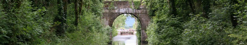
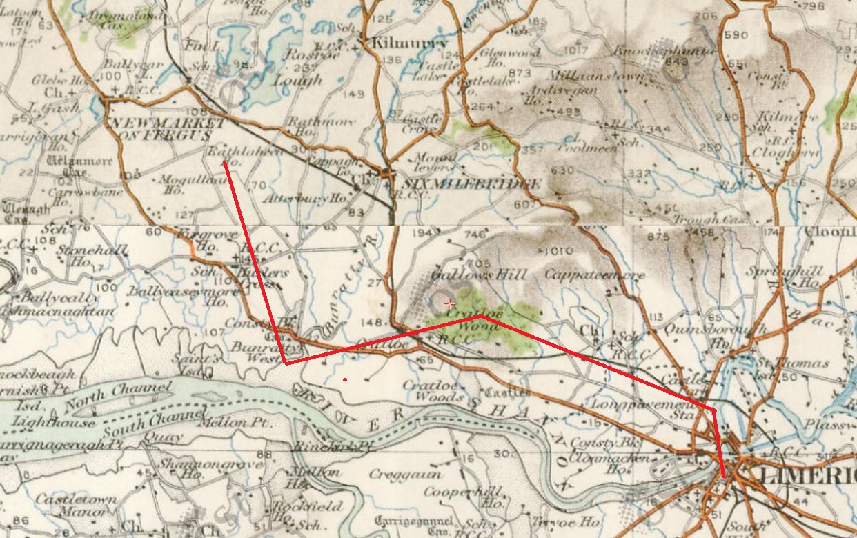
The course taken by the balloon being at first almost due north we glided beautifully across the Shannon, and found ourselves at twelve minutes after five, at the north side of the river. The balloon, in this position, rested for some minutes, giving us an opportunity of gazing on the grand and magnificent panorama beneath us.
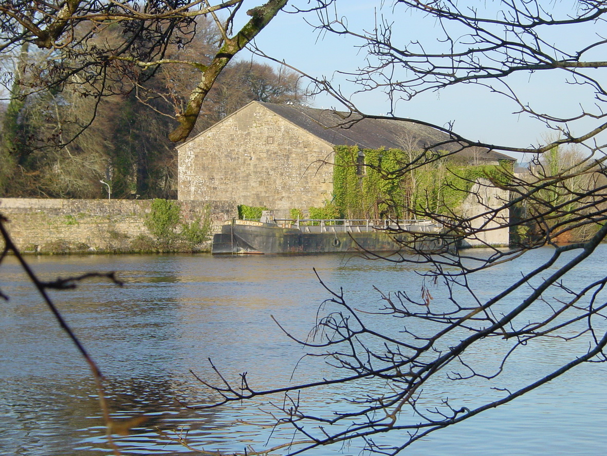
The prospect of Limerick was very extraordinary, every street, lane, and building, being at the same moment distinctly visible, but so apparently diminished in size that it assumed more the appearance of a beautiful miniature model than the actual city; the expanse of view was vastly greater than I anticipated, the various windings of the Shannon, with little interruption, being visible to Killaloe, above which the grand and noble expanse of water on Lough Derg was a prominent feature, flanked on either side with a lofty range of mountains. The view of the lower Shannon was also very attractive, extending far below the Beeves’ tower, and on which was visible one of the river steamers towing, I will not say a large ship, for it appeared no bigger than a turf boat.
We now bent our course towards Cratloe Wood, and at 22 minutes after 5, found ourselves standing right over its centre, the appearance of which was very extraordinary, the trees appearing more like a beautiful mantling of richly-coloured heath, or of short brushwood. Here I took an indication of a barometer, brought up at the request of Mr Wallace, the proprietor of the Observatory, for the purpose of getting for him its indication at the greatest altitude, and by which I found we were still ascending, soon getting us into another current, floating the balloon gradually towards the Shannon; and, at 30 minutes after 5, we found ourselves over the north bank of the river, opposite the Maigue.

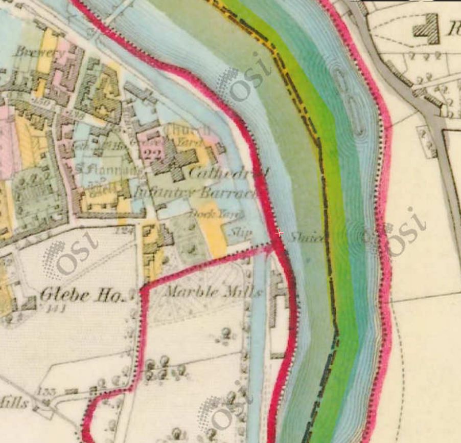
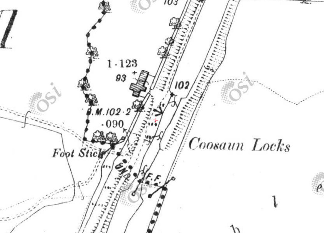
The flight of the balloon (OSI ~1840)
There, by indication of the barometer, it appeared we attained our greatest altitude, being then 4261 feet above the level of the river. The country beneath, from this great height, much resembled one of the Ordnance Survey maps. Undulations of the ground, except hills and mountains at a distance, not being visible, and large fields looking not much bigger than pocket-handkerchiefs; nor could I help thinking what a sad waste of land there was under stone walls, making such varied subdivision of property, and being much more numerous than I had any idea of.
At this altitude the atmosphere was so rarified that Mr Townsend felt his respiration considerably affected, which, under such circumstances, is very usual, though I did not experience it.
I was particularly attracted in this place, as would be supposed of perfect tranquillity, removed from the busy world, to find the buzz or murmuring sound of those beneath us (though, I need hardly say, invisible) ascend and fall on the ear distinct, though faintly, being different from any sound I ever before experienced, and but ill-conveyed by my inadequate description.
I found we had now got into another current diametrically opposite to what had been our last travelling, having taken a rapid course in the direction of Ennis. The barometer indicating a gradual descent, at 45 minutes after 5, Mr Hampton deemed it advisable to prepare for his descent, the country wearing a favourable aspect for doing so, and here he first worked the valves for that purpose; so that our descent and progressive movement now became very rapid.
And at two minutes to six we once more came in contact with terra firma; the car first striking obliquely two walls about 5 feet high, of dry masonry, being at either side of a road or bye way, through which it made a clean breach to the very foundation; the car, after passing through the breach, again oscillated, and found its resting place in a pasture field at the foot of Ralahine demesne, about three miles from Newmarket-on-Fergus, where we were quickly surrounded by a large peasantry, showing forth their true national characteristic generosity, for they not alone gave their most anxious aid in the saving of the balloon, and its various appendages, but many offered their horses to bring us into Limerick. Mr Creagh, I should also add, was most polite, having invited us to Ralahine, to partake of his hospitality.
I hope it may not be considered presumptive of me to state, from my slight knowledge of mechanical operations, that I consider Mr Hampton a perfect master of the management of a balloon, so far as practicable, and is, I feel, owed a debt of gratitude by the citizens of Limerick, for the very great treat which he has afforded them.
Hampden W Russell
Limerick and Clare Examiner 8 September 1849 in the British Newspaper Archive
Background
On Tuesday 21 August 1849 the Southern Reporter and Cork Commercial Courier announced that “Mr Hampton, the aeronaut” had arrived in Limerick and was preparing to ascend thence in his balloon, the Erin go Bragh. It was not his first flight from Limerick: he had ascended in October 1846, when the necessary gas (£14 worth) seems to have been sponsored by the “Limerick Gas consumers company” [Limerick Reporter 6 and 13 October 1846].
The 1849 ascent was on Monday 3 September from Mr Marshall’s Repository, Upper Cecil Street, and was advertised in advance. According to the Limerick and Clare Examiner of 29 August 1849, the “Splendid Band of the 3d Buffs” was to attend. Ladies and Gentlemen could watch from reserved seats [2/=; children 1/=] in a gallery; Second Places cost 1/=, children 6d.
Mr [John] Hampton offered seats in the balloon’s car to ladies or gentlemen who wished to accompany him; the balloon could lift six people and had two cars, one for descending over land and the other “for Sea-ports, in case the wind should be for Sea”. Those interested could find the fares by applying to himself at 12 Cecil Street or to Mr G Morgan Goggin at 34 George Street.