Tag Archives: canal

The sinking of the Longford 4 and 5

Here are the fourth and fifth pages [I split one long page] in the sequence of articles about the sinking of the passage boat Longford on the Royal Canal in 1845. They discuss some of the evidence of corporate incompetence and farcical laxity that may have persuaded the inquest jury to award a deodand against the vessel (and thus against the Royal Canal Company).

Amongst other gems, the footnotes explain what a crapper is.

The sinking of the Longford 3

Here is the third page in the sequence about the sinking of the passage boat Longford on the Royal Canal in 1845. This page, The deodand, covers the inquest and the trial.

The sinking of the Longford 2

Here is the second page of the saga. This one gives background information about the passage boat service, the boats and the crew of the Longford. The shock-horror stuff will be in later pages.

WI funding

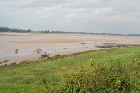
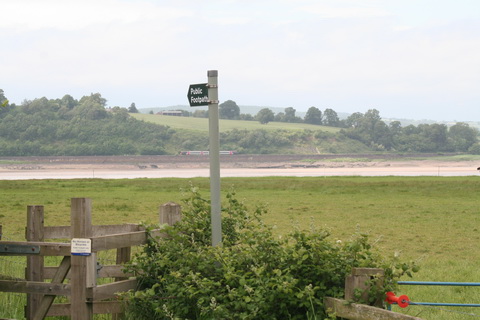
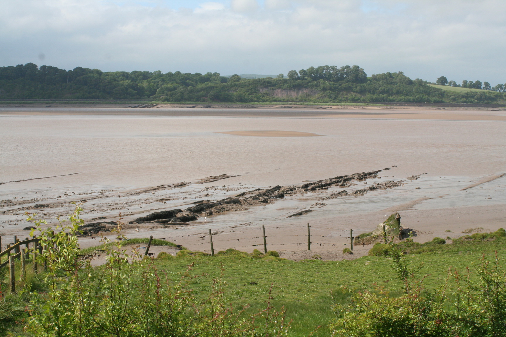
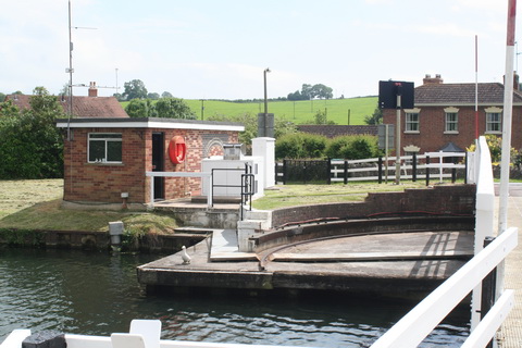
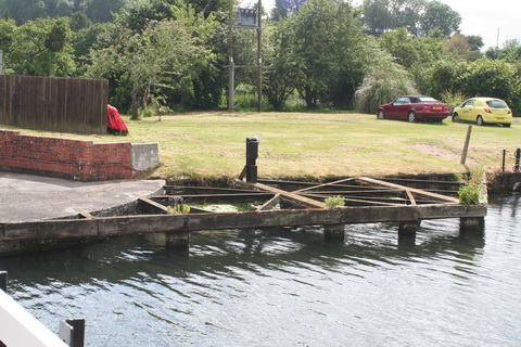
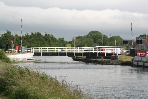
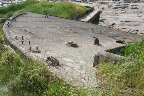
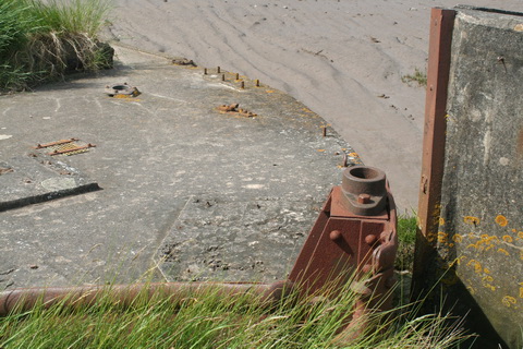
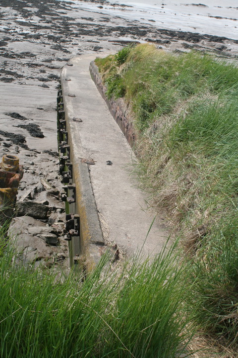
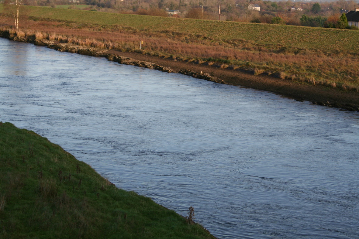
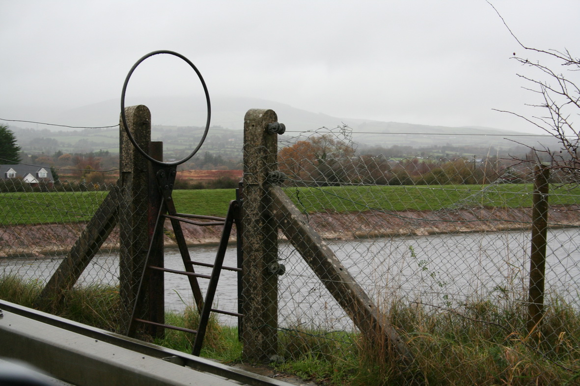
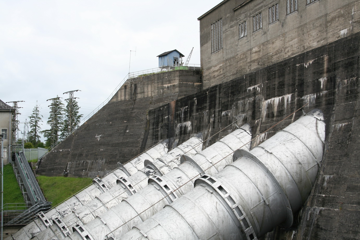
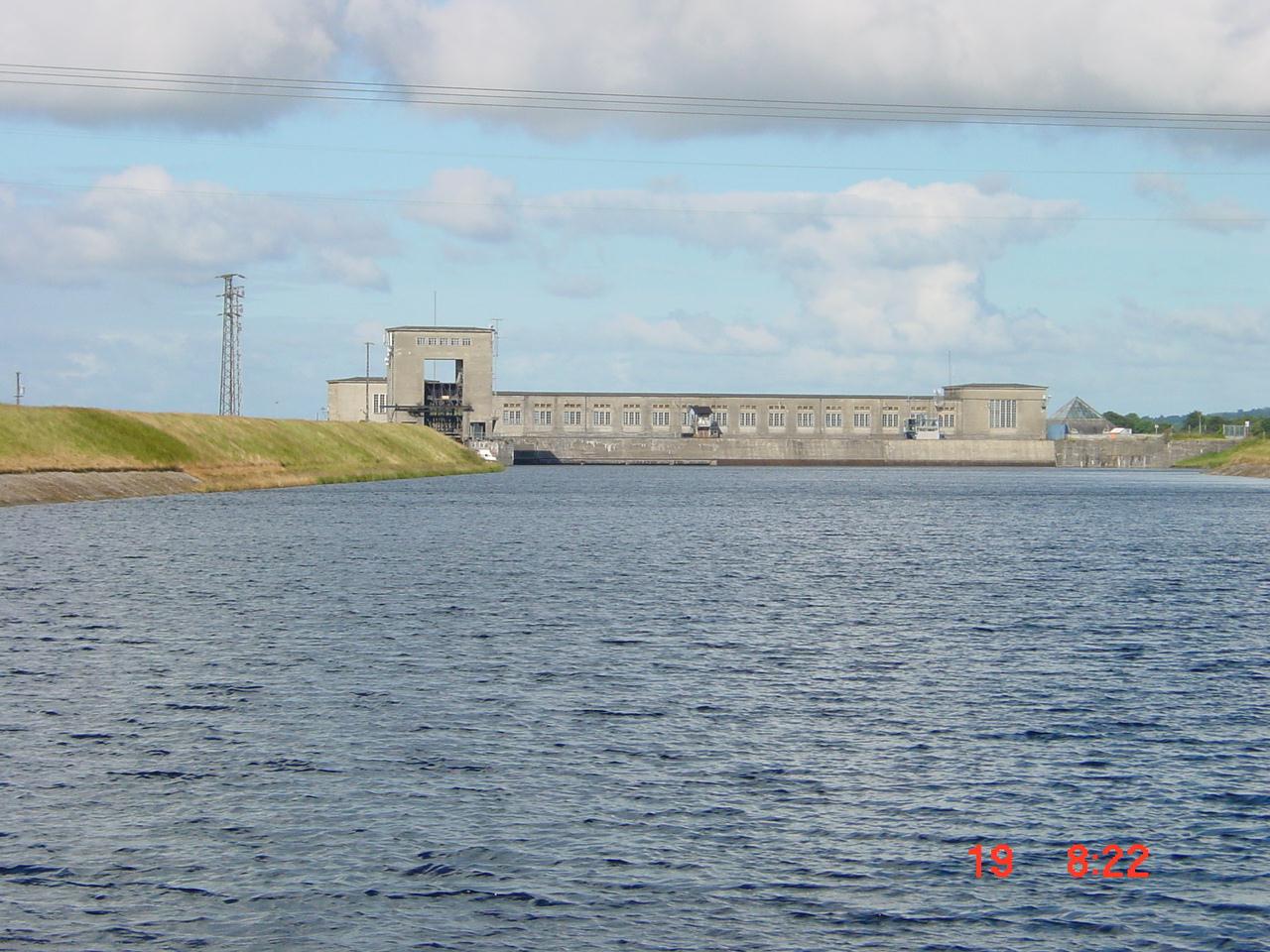
The cuts in funding to Waterways Ireland have been covered here many times. Now, thanks to the invaluable KildareStreet, we have official information on the matter from the Minister for Fairytales. A young chap called Martin Heydon [who has annoying automatically changing pics on his website], FG TD for Kildare South, put this written question to the minister:

To ask the Minister for Arts, Heritage and the Gaeltacht the funding provided by her Department to Waterways Ireland in each of the past five years; and if she will make a statement on the matter. [36691/15]

The minister, Heather Humphreys, FG TD for Cavan-Monaghan, wrote:

Waterways Ireland is co-funded by my Department and the Department of Culture, Arts and Leisure (DCAL) in Northern Ireland. The current expenditure of the body is funded 85% by my Department and 15% by DCAL, which reflects the distribution of the navigable waterways in each jurisdiction. Capital expenditure is funded 100% in the jurisdiction in which the capital works are carried out.

The amount of funding allocated to Waterways Ireland from my Department’s Vote for each of the years from 2011 to 2015 is set out in the following table.

Year €m
2011 €30.300m
2012 €27.099m
2013 €25.463m
2014 €24.183m
2015 €23.426m

This is useful because, since 2011, the annual budget figure for North South Cooperation has not been broken down between Waterways Ireland and the language shamrock. Last time it was, WI got about 60% of the current expenditure total and almost all the capital. We’ve had to wait for WI’s annual reports to find how much it got two years earlier.

So it’s useful to have these figures, but they would have been even more useful if the minister had distinguished between current and capital expenditure.

From the Multi-Annual Capital Investment Framework, it seems that WI got €3,368,000 for RoI capital spending in 2015. Subtracting that from the minister’s 2015 figure of €23,426,000 suggests that WI’s current spending budget for RoI in 2015 is €20,058,000, which is less than my rough estimate of 60% of the NSCoop total (€35,072,000 X 0.6 = €21,043,200).

In 2011, the Estimates figures showed that WI was to get €6 million for capital expenditure. Subtracting that from the minister’s figure for 2011, €30,300,000, leaves €24,300,000 for current spending in that year.

I haven’t cross-checked that with WI’s accounts, and I could be wrong in other ways: feel free to add a comment below if you can help to correct these figures.

What I make of it is that

  • total RoI spending on Waterways Ireland in 2015 was 77% of the 2011 figure
  • capital spending was down from €6,000,000 to €3,368,000, a cut of almost 44%
  • current spending was down from €24,300,000 to €20,058,000, a cut of 17.5%.

Clearly, Waterways Ireland would benefit from having new sources of income outside the control of the central exchequer. Perhaps Mr Heydon could persuade the canal-based boat-owners of Co Kildare to pay higher charges?
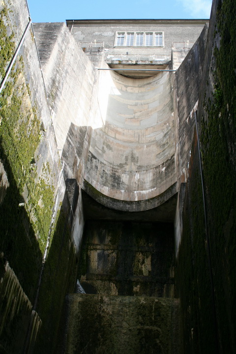
Capital expenditure

I said above that capital spending was down from €6,000,000 in 2011 to €3,368,000 for 2015, a cut of almost 44%.

However, it had been €11,000,000 in 2008, whence the cut is over 69%; the 2016 figure is less than 25% of the 2008.

It is clear therefore that the government does not see investment in waterways as being productive, either of economically desirable results (eg tourism earnings, jobs) or of politically desirable benefits for its TDs.

I wonder therefore why one of its TDs has drawn attention to the matter.

Grim oop north

Something similar has happened in Norn Iron, where an MLA of the minister’s party has asked a question about Waterways Ireland, whose HQ is in his constituency.

Another young chap, one Phil Flanagan (who seems to have joined Sinn Féin seven days before being elected as an MLA. Could that be right?), has asked two questions of the (Sinn Féin) Minister for Marching Bands:

  • AQW 50030/11-16: To ask the Minister of Culture, Arts and Leisure to detail the amounts in (i) financial terms; and (ii) percentage terms of the budget in Waterways Ireland that is set aside for pension payments for former staff; and whether this is comparable with other bodies.
  • AQW 50029/11-16: To ask the Minister of Culture, Arts and Leisure how the value of the Euro has affected the budget of Waterways Ireland in each of the last three years.

I look forward to reading the answers.

Placing Percy

Back in May 2013, I wondered whether 53 Percy Place, Dublin 4, which Waterways Ireland was being forced to sell to dig the Clones Sheugh, would still be on its hands in a year or two. And so it was, but in August 2015, I noted that the property was for sale to fund Saunderson’s Sheugh, which we’re all pretending is the Clones Sheugh (aka the Ulster Canal).

The interesting point was that Messrs CBRE wanted over €1.6 million for the site, which was the valuation put upon it in 2008. The 2012 valuation was €650,000 and the 2013 €800,000. I wrote:

On the basis of its asking price for Percy Place, WI seems to believe that the property collapse is over; perhaps it is even now in negotiation to develop Plot 8 and build a sheugh all the way to Clones. In the meantime, if it gets €1.6 million for Percy Place, that will help to alleviate the damage caused by the smash-and-grab raid carried out by the Department of Fairytales to pay for Saunderson’s Sheugh.

Well, it seems that the boom is back. According to the respectable people’s Sunday newspaper, the Sunday Business Post, of 18 October 2015, WI got over €2 million for the site. The SBP is paywalled and I can’t find online confirmation elsewhere, but it’s a high price.

I did note on the CBRE site that the Twelfth Lock Hotel, that haunt of Stakhanovite homoeroticism on the Royal Canal in Blanchardstown, is for sale again. I haven’t been there for some years, so I don’t know whether the mural is still extant.


Improvements at St John’s Pill, Waterford

Thanks to Brian Simpson for this update on the continuing resurrection of St John’s Pill [river] in Waterford.


Waterford Council had new fencing erected by Fairybush Landscaping Ltd around Cherrymount bridge and around the slip area. The Council also recently opened a beautiful greenway for pedestrians and cyclists along the St John’s river right into Waterford City Centre.

Our slipway at Cherrymount bridge was being eroded by heavy rainfall and
strong currents when the canal was swollen.

DSCF2845

The slipway

IMG_20150826_134207

The slipway fenced (but eroded)

In order to prevent further damage with the approach of autumn and winter, improvement works had to be carried out. With a low tide window for much of the day and a couple of dry days beforehand, Saturday 29 August 2015 was our perfect opportunity.

IMG_20150829_132601

Men at work

We would like to take this opportunity to thank our Chairman David Hayes [of David Hayes Engineering, Waterford] for organising the mixer, sand/gravel cement from Doyle Concrete

IMG_20150829_113737

Doyle Concrete

… and the concrete slabs and capping from Boyce Mulrooney, scrap merchant, Tramore Road, Waterford.

All the committee members who donated bags of cement, tools, ideas, labour and teamwork.

IMG_20150829_132539

Wade in the water

A great day was had and most importantly the slip is now much secure and pleasing to look at too.

The Purton boat graveyard

If you happen to be driving across southern England and Wales — say from Fishguard or Pembroke to London — and you want a break, you could turn off the M4 or M48 and drive to the Purton ships’ graveyard in Gloucestershire. It’s roughly 25 miles, 35 minutes, each way: a two-hour break will give you an hour on site — and take you a world away from the busy motorways.

Purton gives you two waterways for the price of one: the Severn estuary and the Gloucester and Sharpness Canal, which bypasses part of the estuary.

The estuary

Big estuaries — including the Shannon and the Suir — always give a sense of space, with big open skies, but somehow the Severn looks even bigger when the tide goes so far out.

Severn rotation 3 05_resize

The long and level sands stretch far away

Severn rotation 1 01_resize

Note the train on the far bank, behind the signpost

Incidentally, the west bank too seems to have a place called Purton, if Messrs Google’s map is to be believed.

Severn rotation 3 02_resize

Drawing a line in the sand

The canal

Purton has two of the Gloucester and Sharpness Canal‘s swing bridges, a weir and other interesting features.

Purton lower bridge 01_resize

Purton lower bridge

Purton lower bridge 03_resize

Purton lower bridge control room. The keeper operates both bridges

Purton lower bridge 06_resize

Swinging room

Purton lower bridge 08_resize

Purton lower bridge from downstream

Purton upper bridge

Purton upper bridge

Purton Gloucester and Sharpness Canal 02_resize

Information board beside the lower bridge

Purton weir 01_resize

Purton weir

Purton weir 03_resize

Weir bridge and sluices

Purton weir 04_resize

Weir inflow

Purton weir 06_resize

Weir sluices

Purton weir 07_resize

Weir outfall

Purton cottages 01_resize

Canalside cottages (all occupied)

Purton canal furniture 04_resize

One of several designs of self-closing gate

Purton canal furniture 05_resize

Pontoon

Purton canal furniture 06_resize

Pumpout

Purton Gloucester and Sharpness Canal 03_resize

Moorings

Boats at Purton 2015 01_resize

Boats 1

Boats at Purton 2015 05_resize

Boats 2

Boats at Purton 2015 06_resize

Boats 3

Purton boats 10_resize

Boats 4

The hulks

The hulls of old vessels were used to shore up the embankment, between canal and river, at Purton. [This practice was also used in Ireland, on both the Barrow and the Suir, but not on anything like the same scale.] The result was the creation of a boat or ship graveyard that preserved, and makes reasonably accessible, the hulls or frames or at least parts of a large number of inland, estuarial and coastal vessels. And some of them are vessels that traded with Ireland.

The Friends of Purton have an informative website here; please also read their page about access here. I can confirm that parking is restricted on the site; it would be easy to annoy the local people by careless parking.

Good information is provided on site.

Purton hulks general information 01_resize

Information board

Purton hulks general information 02_resize

Memorial

Purton hulks general information 03_resize

Close-up

Purton hulks general information 04_resize

Advice

Purton hulks Severn Collier 04_resize

All identified wrecks have plaques like this

I had allowed an hour for my visit, but didn’t see everything; it would have been easy to spend twice as much time there. In the summer, growth hid a few of the artefacts, but there was plenty to see without trampling on the shrubbery.

Mary Ann 01 resize

The Mary Ann

Mary Ann 03 resize

… is in there somewhere

There are quite a few concrete (ferrocement) barges, built during the Second World War.

IMG_5227_resize

Up close

IMG_5229_resize

Bows on

Purton concrete barges 01_resize

Information plaque

Purton concrete barges 02_resize

Stacked up

Purton concrete barges 08_resize

Deck details

Purton concrete barges 17_resize

Merging into the bank

Purton concrete barges 18_resize

One side

Of the other vessels, the Dursley is apparently in reasonable condition but, on my visit, was largely hidden in the grass.

Dursley 06 resize

Dursley plaque

Dursley 02 resize

Dursley sternpost and rudder

The same was true of the Katherine [or Catherine] Ellen, built in Dungarvan.

IMG_5165_resize

Katherine Ellen plaque

IMG_5166_resize

Katherine Ellen site

I failed to find the Jonadab, a Severn trow that traded to the (Munster) Blackwater, but I did see the remains of the Scottish-built Dispatch, which is amongst the vessels listed by Niall O’Brien as having visited the Munster Blackwater [Blackwater and Bride: navigation and trade 7000BC to 2007, Niall O’Brien Publishing, Ballyduff Upper, 2008].

IMG_5189_resize

Dispatch plaque

IMG_5190_resize

Dispatch hull

Then there were the dramatic remains of Sally, renamed King, of London.

IMG_5171_resize

Sally plaque

IMG_5172_resize

Sally remains 1

IMG_5169_resize

Sally remains 2

And many more. Even isolated timbers or iron ribs had their interest. But let me finish with a wreck that is not on the embankment but just offshore.

Purton hulks tanker 06_resize

Tanker offshore

You can read about the loss of the tankers Arkendale H and Wastdale H here and here. They are remembered on a plaque at the site.

Purton hulks tanker 02_resize

Plaque about the tankers

Purton hulks tanker 03_resize

I don’t know which of the tankers is shown in my photos

Purton hulks tanker 05_resize

The wreck is a reminder of the hazards of estuaries

Purton is well worth a visit — but it is only one of the waterways delights close to the Fishguard/Pembroke to London route.

Hamilton Lock

Victoria (Meelick) and Hamilton Locks (OSI ~1900)

Victoria (Meelick) and Hamilton Locks (OSI ~1900)

Lord Dunkellin: Do you know the Victoria lock at Meelick?

Sir Richard Griffith: I do.

Victoria Lock, Meelick

Victoria Lock, Meelick

Dunkellin: Do you know what is called the Old Cut, the old canal?

Griffith: Yes.

Dunkellin: The Victoria lock is a new work, is it not?

Griffith: It is.

Dunkellin: Should you be surprised to hear that vessels do not use that frequently, but go by the old cut?

Griffith: In times of very high flood I am aware that the canal boats find it advisable and beneficial to go by the Hamilton lock, on the old cut, in preference to the other.

Dunkellin: Prima facie, one would have thought that a new work like the Victoria lock would have the effect of regulating the state of things?

Griffith: It arises from the Counsellers’ Ford, as it is called, above Meelick; it has not been sufficiently excavated, and there is a strong current, and the boats are not able to get up to it in times of high flood.

Dunkellin: Then the boats made use of the old canal instead of the new lock?

Griffith: Under those peculiar circumstances they did.

Evidence of Sir Richard Griffith to the Select Committee on the Shannon River 12 June 1865

My OSI logo and permit number for website

On the Pill

Brian Simpson has kindly sent me photos of the small-boat rally on St John’s Pill (River) in Waterford at the end of May; I’ve put them on this page.

Please don’t look at these photos

I regret to say that I have published, on these pages, several photos of the Shannon, Parteen Villa Weir, Ardnacrusha hydroelectric power station and its headrace and tailrace canals.

The storage basin between the road bridge over the River Shannon at Killaloe and the weir and canal intake at Parteen, including the right and left embankments constructed to form the said storage basin, together with the land outside and along the said right embankment delimited and separated from the adjoining land by post and wire fencing and also the land outside and, along the said left embankment delimited by the left bank of the Kilmastulla River Diversion.

Parteen Villa Weir from the embankment upstream (2008)

Parteen Villa Weir from the embankment upstream (2008)

The flooded area above Parteen Villa Weir

The flooded area above Parteen Villa Weir

The weir and canal intake, the embankments constructed to form abutments to the said intakes, the syphon under the said canal intake, and adjoining lands inside and bounded by post and wire fencing.

Parteen Villa Weir

Parteen Villa Weir

Parteen Villa Weir from upstream

Parteen Villa Weir from upstream

The six sluices controlling discharges down the old course of the river

The six sluices controlling discharges down the old course of the river

The head race between the canal intake and the power station including the right and left embankments constructed to form the said head race, together with the land outside and along the said embankments delimited and separated from the adjoining land by post and wire fencing, and also the road bridges over and the syphons and culverts under the said race.

The headrace from the bridge at Clonlara 20 November 2009

The headrace from the bridge at Clonlara 20 November 2009

The headrace from the bridge at O'Briensbridge 22 November 2009

The headrace from the bridge at O’Briensbridge 22 November 2009

The power station, the intake to the said power station, the locks and all adjoining buildings and land within the area around the said power station, all of which are delimited and separated from the adjoining land by post and wire fencing.

The upper chamber at Ardnacrusha lock

The upper chamber at Ardnacrusha lock

Ardnacrusha: looking up at the top chamber from the bottom

Ardnacrusha: looking up at the top chamber from the bottom

The penstocks that feed the turbines at Ardnacrusha

The penstocks that feed the turbines at Ardnacrusha

Ardnacrusha power station from the headrace

Ardnacrusha power station from the headrace

The fishpass

The fishpass

The tail race from the power station to the River Shannon, the branch railway running along the said tail race, and the land on either side of the said tail race, all of which are delimited and separated from the adjoining land by post and wire fencing.

Outflow

Outflow

And I have lots more photos … here and here and here, which I ask readers not to look at either.

You see the thing is, Your Honour, Sir, I didn’t know. I didn’t realise that, under Statutory Instrument 73 of 1935 Shannon Electricity Works (Declaration of Prohibited Place) Order 1935, the places as described are prohibited places under paragraph (d) of Section 3 of the Official Secrets Act 1911, as amended by the Official Secrets Act 1920, and as adapted by or under the Adaptation of Enactments Act 1922 (No 2 of 1922). That’s because

information with respect thereto, or the destruction or obstruction thereof, or interference therewith, would be useful to an enemy.

Apparently, under those acts, giving anyone information about a prohibited place is a felony, punishable by imprisonment for up to fourteen years.

Wikipedia says that, in Ireland, those acts were repealed by the Official Secrets Act 1963, but was the statutory instrument repealed? I don’t know, but I’ve written to the Department of Justice to ask.

In the meantime, please don’t look at the photos, especially if you’re a Foreign Agent: a term that, under the 1963 act,

includes any person who is or has been or is reasonably suspected of being or having been employed by a foreign power either directly or indirectly for the purpose of committing an act (whether within or outside the State) prejudicial to the safety or preservation of the State, or who has or is reasonably suspected of having (whether within or outside the State) committed or attempted to commit any such act.

I wonder whether that includes the European Central Bank.