The Minister for Arts, Heritage and the Gaeltacht [who is also a Fine Gael TD for Cavan–Monaghan] spoke at the meeeting of the Joint Oireachtas Committee on Environment, Culture and the Gaeltacht on 25 November 2014. She said:
In addition to progressing North-South co-operation, my key priority is progressing the first stage of the Ulster Canal project from upper Lough Erne to Castle Saunderson, near Belturbet, County Cavan. I am working on this with the Government and other key partners, including the North-South Ministerial Council and Waterways Ireland. […]
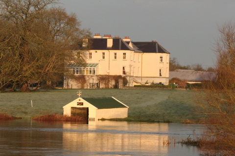
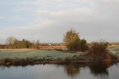
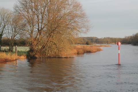
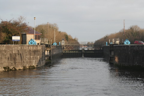
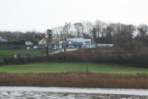
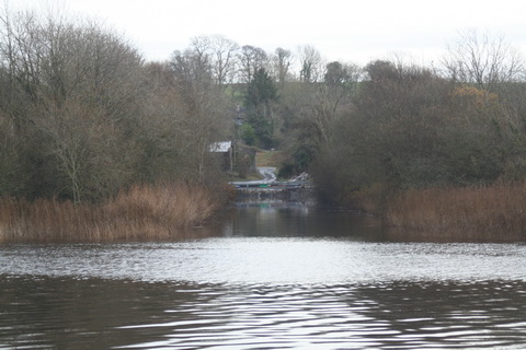
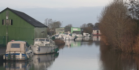
It sounds, then, as if the minister intends to get work started on the Clones Sheugh, but only as far as Castle Saunderson, where there is a scouting establishment. The route from Quivvy Lough (location of the Quivvy Marina) is along the Finn River; the first 5.5 km of the route would be in the river and the last 8.5 km to Clones in a canal. The route to Castle Saunderson would, I imagine, require dredging and the removal of rocks as well as work on [or replacement of] Derrykerrib Bridge [I have not read all the details].
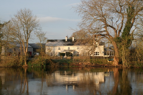
It would, of course, be faster to get there by road, but no doubt lots of people will travel from Foreign Parts for the excitement of seeing Castle Saunderson from the water and paying tribute to the memory of a stout Orangeman and founder of the Irish Unionist Alliance.
No mention of the treasure-hunting group who are to find the money, but there’s an election in the offing so money won’t be a problem. Until afterwards.
![Quivvy to Castle Saunderson [OSI ~1840]](https://irishwaterwayshistory.com/wp-content/uploads/2014/12/quivvy-to-castle-saunderson_resize.jpg?w=500)
Quivvy to Castle Saunderson [OSI ~1840]
The minister also said:
Regarding the Ulster Canal, which stretches from upper Lough Erne to Castle Saunderson, we hope to get the project started on that section because that is the one part of the inland waterway system that has not been developed. If we get that done, the Ulster Canal will connect into Lough Neagh. That means we will have a complete network of waterways in Ireland, which is very important. It is also a cross-Border project, and there is a peace dividend in terms of that project. It is very important in terms of cross-Border relationships. It is one shovel-ready project that can be progressed.
The minister said that “a complete network of waterways in Ireland […] is very important”. She did not say why and I can think of no possible economic justification for the creation of such a “network”. Nor is it clear what the “peace dividend” is. But the phrase that evoked most terror is “shovel-ready project”, which I take to mean something that might buy votes in the next election.
The minister’s predecessor, Éamon Ó Cuív, a Fianna Fáil TD for Galway West, said:
I welcome the Minister’s continuation of the work on the Ulster canals. There was quite a bit of work done on that in my time and I was very anxious to see it progress on a step-by-step basis. I was going to bring it to Clones, I am not sure whether the place the Minister mentioned is further or nearer than that.
The minister interjected:
It is not as far as Clones. We will start it anyway and we will get it there.
And Mr Ó Cuív continued:
I take the view that even if she were to get it half a mile, we should just nibble away at it until we get it finished. It is of strategic national importance and if we could connect Coleraine, where I was the other day and where my poor car is getting mended, all the way down the coast through Lough Neagh down to Shannon and back up the canals, it would be a fantastic facility for the island. I will not be heard complaining in any way that it is in the Minister’s constituency – that just happens to be a happy coincidence in this case.
Actually, although both Quivvy Marina and Castle Saunderson are in the Free State, most of the River Finn route is in the United Kingdom of Great Britain and Northern Ireland.
It seems that I must cease to speak of the Clones Sheugh: it’s Saunderson’s Sheugh. I suppose that, if reaching Castle Saunderson were enough to shut up the Shinners, who seem to be madly keen on Sheughery for some reason that is hidden from me, that might be a bargain: it would certainly be better than going all the way to Clones.


![Quivvy to Castle Saunderson [OSI ~1840]](https://irishwaterwayshistory.com/wp-content/uploads/2014/12/quivvy-to-castle-saunderson_resize.jpg)