Category Archives: Natural heritage

Two Limerick footbridges

The Black Bridge at Plassey has long had a place in the hearts of Limerick people. It was damaged in the floods of 2009 and has been closed to the public ever since. Limerick Council says it can’t afford to repair it. Limerick Council is, as far as I can see, in breach of the terms of its lease of the bridge from the Department of Finance; the Department of Finance could, but has chosen not to, insist that the Council repair the bridge.

In the meantime, the Minister for Finance, for reasons best known to himself, wants a new, er, iconic footbridge in Limerick city and is prepared to spend €6 million of taxpayers’ money, via Fáilte Ireland, on a structure that can scarcely avoid blocking some of the finest views in the city.

Now, the Limerick Leader tells us, the ghastly edifice is to cost almost €18 million: €6 million from the Minister for Finance (who represents Limerick), €4 million to be borrowed and €7.8 million from the leprechauns’ pot of gold under the thorn bush. Or somewhere. Even Fianna Fáil councillors think this is insane, which is saying something.

This ridiculous proposal should be abandoned immediately and a much smaller sum should be spent instead on repairing the Black Bridge as part of a European Route of Industrial Heritage.

The Minister’s €6 million is a gift-horse that should not only have its teeth inspected: it should be taken out and shot and its carcass sent to the burger factory.

Brendan Smith TD and W T Mulvany

Wednesday 22 May 2013

Brendan Smith [FF, Cavan-Monaghan]: To ask the Minister for Arts, Heritage and the Gaeltacht the position regarding the feasibility study that has been underway for some time in relation to the proposed extension of the Erne Navigation from Belturbet to Killykeen and Killeshandra; when this study will be completed; and if he will make a statement on the matter.

Jimmy Deenihan [FG Kerry North/West Limerick]: I am informed by Waterways Ireland that the current position is that work is continuing on the collection of data relating to this project and Waterways Ireland is currently preparing draft options for the project. At that point consultants will then assess the environmental implications of the options. It is expected that the feasibility study will be completed as planned by the end of 2013.

19 December 2013

Brendan Smith: To ask the Minister for Arts, Heritage and the Gaeltacht if he has received the feasibility study on the proposed extension of the Erne navigation from Belturbet to Killeshandra and Killykeen; and if he will make a statement on the matter.

Jimmy Deenihan: I am informed by Waterways Ireland that it commissioned a Strategic Environment Assessment for the possible extension of the Erne Navigation from Belturbet to Killeshandra and Killykeen.

On reviewing the environmental information from this process, Waterways Ireland considers that the environmental designations of this lake complex make the feasibility of the proposed navigation extension highly unviable. For that reason, I am advised that Waterways Ireland does not propose to pursue this project any further at this time.

11 December 2014

Brendan Smith: To ask the Minister for Arts, Heritage and the Gaeltacht the position regarding the proposal to extend the Erne navigation from Belturbet to Killykeen and Killeshandra, County Cavan; when this project will proceed to the next stage; and if she will make a statement on the matter.

Heather Humphreys [FG, Cavan-Monaghan]: I have been informed by Waterways Ireland that it commissioned a Strategic Environmental Assessment for the proposed extension of the Erne Navigation from Belturbet to Killeshandra and Killykeen in County Cavan. I am further advised that, on reviewing the environmental information from this process, Waterways Ireland’s considered view is that the development of a viable project is not feasible, given the conservation designations of the lake complex. Waterways Ireland does not, therefore, propose to pursue the proposal further at this time.

It would be nice if Mr Smith would (a) check what he was told last time and (b) tell whatever constituent is lobbying for this scheme to get stuffed. Even W T Mulvany wasn’t able to get a navigation to Lough Oughter.

Building more navigations in Ireland is a waste of money: it simply spreads the existing business more thinly. It will not attract extra business from inside or outside the state (apart from a small number of waterway twitchers). Some pub-owners in Killykeen or Killeshandra might sell some more beer-like substance, and if they would like to pay for a navigation that’s fine, but there is no advantage to the state in paying for it.

Thanks to KildareStreet for the notification.

Map of Irish watercourses

A Google alert came up with this. Clicking on it opens it on a different background; clicking again increases it in size and a third click reduces it again. I can’t do anything else with it and I don’t know who produced it, but maybe others can do more. It’s very elegant anyway.


The Shannon in winter

Downriver from Shannon Harbour to Dromineer in December 2014. It began as a bright, cold morning.

Shannon Harbour to Dromineer December 2014 01_resize

Leaving Shannon Harbour after icebreaking between the locks

Shannon Harbour to Dromineer December 2014 02_resize

Flooding to the south-east

Shannon Harbour to Dromineer December 2014 03_resize

But southward, look …

Shannon Harbour to Dromineer December 2014 06_resize

The Brosna

Shannon Harbour to Dromineer December 2014 73_resize

Heading for Banagher Bridge 1

Shannon Harbour to Dromineer December 2014 75_resize

Keeping close to the pontoons

Shannon Harbour to Dromineer December 2014 98_resize

Heading for Banagher Bridge 2

Shannon Harbour to Dromineer December 2014 103_resize

Heading for Banagher Bridge 3

There is a YouTube video of the shooting of the bridge here. It seems to start automatically, including sound; I don’t know how to avoid that.

Shannon Harbour to Dromineer December 2014 107_resize

Looking back at Banagher

Shannon Harbour to Dromineer December 2014 116_resize

Colours

Shannon Harbour to Dromineer December 2014 124_resize

Invernisk

Shannon Harbour to Dromineer December 2014 129_resize

Shannon Grove

Shannon Harbour to Dromineer December 2014 134_resize

Current

Shannon Harbour to Dromineer December 2014 140_resize

Scarpering heron

Shannon Harbour to Dromineer December 2014 146_resize

Colours

Shannon Harbour to Dromineer December 2014 149_resize

Marker and gauge

Shannon Harbour to Dromineer December 2014 151_resize

House

Shannon Harbour to Dromineer December 2014 169_resize

Boats at Meelick

Shannon Harbour to Dromineer December 2014 170_resize

Meelick weir

Shannon Harbour to Dromineer December 2014 174_resize

East bank

Shannon Harbour to Dromineer December 2014 176_resize

Protective boom

Shannon Harbour to Dromineer December 2014 181_resize

Sluices

Shannon Harbour to Dromineer December 2014 198_resize

Through Meelick Lock

Shannon Harbour to Dromineer December 2014 205_resize

One bird

Shannon Harbour to Dromineer December 2014 213_resize

Many birds

Shannon Harbour to Dromineer December 2014 221_resize

Reeds

Shannon Harbour to Dromineer December 2014 226_resize

Architecture

Shannon Harbour to Dromineer December 2014 228_resize

Munster Harbour

Shannon Harbour to Dromineer December 2014 233_resize

Delaying Eamon Egan

Shannon Harbour to Dromineer December 2014 235_resize

Gateway to civilisation

Shannon Harbour to Dromineer December 2014 237_resize

Connacht Harbour

Shannon Harbour to Dromineer December 2014 239_resize

Lough Derg: weather has changed

Shannon Harbour to Dromineer December 2014 243_resize

Journey’s end, Dromineer


Sorry, Longford

Waterways Ireland’s Feasibility Study into the Restoration of the Longford Branch of the Royal Canal is available for download [7 PDFs: main report + 6 appendices]. Skip straight to page 59:

6.5 Recommendation

Given the current financial climate and because of the associated costs, environmental issues and uincertainty regarding planning approval it is not recommended to pursue this project any further at this time.

The recent work undertaken in regard to the shared walkway/cycleway has protected the asset as a publicly owned recreational amenity and it is recommended that any outstanding property issues be resolved and finalised in order to complete the protection of the asset.

I hope that admirable recommendation survives the pre-election period.

By the way, there’s a snail ….

Saunderson’s Sheugh

The Minister for  Arts, Heritage and the Gaeltacht [who is also a Fine Gael TD for Cavan–Monaghan] spoke at the meeeting of the Joint Oireachtas Committee on Environment, Culture and the Gaeltacht on 25 November 2014. She said:

In addition to progressing North-South co-operation, my key priority is progressing the first stage of the Ulster Canal project from upper Lough Erne to Castle Saunderson, near Belturbet, County Cavan. I am working on this with the Government and other key partners, including the North-South Ministerial Council and Waterways Ireland. […]

It sounds, then, as if the minister intends to get work started on the Clones Sheugh, but only as far as Castle Saunderson, where there is a scouting establishment. The route from Quivvy Lough (location of the Quivvy Marina) is along the Finn River; the first 5.5 km of the route would be in the river and the last 8.5 km to Clones in a canal. The route to Castle Saunderson would, I imagine, require dredging and the removal of rocks as well as work on [or replacement of] Derrykerrib Bridge [I have not read all the details].

It would, of course, be faster to get there by road, but no doubt lots of people will travel from Foreign Parts for the excitement of seeing Castle Saunderson from the water and paying tribute to the memory of a stout Orangeman and founder of the Irish Unionist Alliance.

No mention of the treasure-hunting group who are to find the money, but there’s an election in the offing so money won’t be a problem. Until afterwards.

Quivvy to Castle Saunderson [OSI ~1840]

Quivvy to Castle Saunderson [OSI ~1840]

The minister also said:

Regarding the Ulster Canal, which stretches from upper Lough Erne to Castle Saunderson, we hope to get the project started on that section because that is the one part of the inland waterway system that has not been developed. If we get that done, the Ulster Canal will connect into Lough Neagh. That means we will have a complete network of waterways in Ireland, which is very important. It is also a cross-Border project, and there is a peace dividend in terms of that project. It is very important in terms of cross-Border relationships. It is one shovel-ready project that can be progressed.

The minister said that “a complete network of waterways in Ireland […] is very important”. She did not say why and I can think of no possible economic justification for the creation of such a “network”. Nor is it clear what the “peace dividend” is. But the phrase that evoked most terror is “shovel-ready project”, which I take to mean something that might buy votes in the next election.

The minister’s predecessor, Éamon Ó Cuív, a Fianna Fáil TD for Galway West, said:

I welcome the Minister’s continuation of the work on the Ulster canals. There was quite a bit of work done on that in my time and I was very anxious to see it progress on a step-by-step basis. I was going to bring it to Clones, I am not sure whether the place the Minister mentioned is further or nearer than that.

The minister interjected:

It is not as far as Clones. We will start it anyway and we will get it there.

And Mr Ó Cuív continued:

I take the view that even if she were to get it half a mile, we should just nibble away at it until we get it finished. It is of strategic national importance and if we could connect Coleraine, where I was the other day and where my poor car is getting mended, all the way down the coast through Lough Neagh down to Shannon and back up the canals, it would be a fantastic facility for the island. I will not be heard complaining in any way that it is in the Minister’s constituency – that just happens to be a happy coincidence in this case.

Actually, although both Quivvy Marina and Castle Saunderson are in the Free State, most of the River Finn route is in the United Kingdom of Great Britain and Northern Ireland.

It seems that I must cease to speak of the Clones Sheugh: it’s Saunderson’s Sheugh. I suppose that, if reaching Castle Saunderson were enough to shut up the Shinners, who seem to be madly keen on Sheughery for some reason that is hidden from me, that might be a bargain: it would certainly be better than going all the way to Clones.

My OSI logo and permit number for website


Down to the sea in steps

On 28 January 1907 James Robinson Kilroe [near the bottom of the page] of H M Geological Survey read to the Royal Irish Academy a paper on “The River Shannon: its present course and geological history” [Proceedings of the Royal Irish Academy Vol XXVI Section B No 8 Hodges, Figgis & Co Ltd, Dublin; Williams & Norgate, London 1907]. I thought that Plate V was interesting.

Shannon Derg to sea

Plate V

Kilroe wrote:

It will be perceived that instead of the river being shallow over the unyielding Silurian slate-rock, set almost vertically, and striking across the river-course, it is deeper than over the limestone of Lough Derg, and much deeper than over the comparatively easily eroded Old Red Sandstone at Killaloe. The river-bed actually drops below the datum line above the town, while at the town it is 100 feet above datum.

Old Red Sandstone strata are here to be seen in the river-bank, and Silurian rocks in situ in its bed. A barrier is thus formed, partly of Silurian, and partly of Old Red Sandstone rocks, which without the artificial impounding weir would retain the waters of Lough Derg to a depth of some 104 feet opposite Derrycastle — two miles above Killaloe.

One might have expected to find a fairly level shallow bed from Killaloe northward, a sudden drop from slate-rock to the sandstone floor, and  a pronounced wide, well-formed valley in the limestone district southward to Limerick.

None of these elements exist; instead, we have the formidable barrier at Killaloe, naturally damming up a considerable depth of water in Lough Derg, and the river falling away southward by a series of rapids which correspond with drops in the canal, south of O’Briensbridge […], along an alternative course, possibly one used by a branch of the Shannon.

Here is an extract from the Plate V map, showing the steps of the (pre-Ardnacrusha) Limerick Navigation between Lough Derg and the sea.

Shannon Killaloe to Limerick

The steps of the canal (click to enlarge)

Upstream

Kilroe wrote of Lough Ree:

The waters of Lough Ree stood some 10 feet higher within recent times than they now do, as proved by evidence of solution, with under-cutting of limestone blocks, to be seen about five miles north-west of Athlone, close to the railway, in the townland of Cornaseer.

Under these conditions the lake must have been, perhaps, twice its width, and for a considerable period. Its ancient surface-level is clearly indicated by the caps of the mushroom-shaped blocks.

And of the Shannon between Lough Ree and Lough Derg:

The extreme flatness of the river between Athlone and Meelick is such that, consequent upon the completion of the Suck Drainage-works in 1892, it was found that the callows along the Shannon above the confluence of the Suck at Shannonbridge were much more liable to sudden and frequent floodings than they previously had been.

The more rapid discharge of the Suck waters into the Shannon, before ordinary extra water had time to pass away, had the effect of modifying the regimen of the main stream to an extent which resulted in an action at law [La Touche -v- The Suck Drainage Board].

I have found only one account of that case, in the Freeman’s Journal of 1 July 1893. The plaintiffs, Messrs Harrison and La Touche, owned land at Cappaleitrim, on the west bank of the Shannon above Shannonbridge. They said that the actions of the Suck Drainage Board had caused their lands to be flooded:

[…] that the defendants brought water from the Suck into the Shannon, containing a drainage of 40 miles, with such velocity and such volume that the Shannon was penned back, and that the back water caused the damage to the lands complained of.

[…] The jury disagreed and were discharged.

I don’t know whether the matter ever again came before a judge.

The agency model

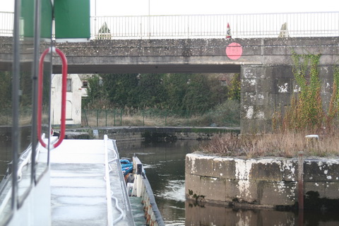
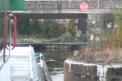
I have been told that, until recent years, travel agents in Germany and elsewhere would buy packages of weeks on Irish hire-boatsa and then sell them on to their own clients. I have also been told that this “agency model” ceased to be used [or became less used], perhaps because of the growth of internet booking. And it has been suggested that this was one of the factors in the decline of the Shannon hire-boat trade, to which I have repeatedly drawn attention [most recently here].

I do not know whether this phenomenon has been documented or formally studied. If it has, I would be grateful if any reader can point me to the documents or studies. I would also welcome other Comments on the proposition.

Packaging and marketing

I mention it now because, when launching the Shannon Blueway project, the waterways minister Heather Humphreys said:

The launch of the Blueway will allow local businesses [to] capitalise on an increase in demand for transport, equipment hire, accommodation and entertainment.

I think that the Blueway is an excellent idea, but I am concerned about whether small local companies will be able to package and market it effectively to overseas tourists. If the long-established cruiser-hire-firms were or are finding effective marketing difficult, why would (say) a canoe- or bicycle-hire-firm in Drumshanbo find it any easier?

Marketing to anglers

There was an interesting discussion at the Joint Oireachtas Committee on Transport and Communications about “Depletion of Inland Fish Stocks and Impact of Estuary Poaching: Inland Fisheries Ireland” on 22 October 2014. Note in particular the contributions of Dr Ciaran Byrne from 10:25 onwards about how Inland Fisheries Ireland markets Irish angling to overseas anglers.

What struck me was not that IFI uses any particularly magical marketing methods but that it is dealing with a well-defined interest group: people who are committed to a particular activity and have invested heavily in it (buying rods and stools and nets and umbrellas and maggots and whatever else anglers use).

Identifying potential customers

Anglers form one segment of the market for inland waterways holidays, but the task of selling to other segments is harder if they lack a single compelling interest. Hence, no doubt, those rather demented attempts by Fáilte Ireland or Tourism Ireland to categorise potential customers as ‘Sightseers and Culture Seekers’, ‘Family & Loved Ones’, ‘Relaxers’ and ‘Outdoor Actives’. None of their interests strikes me as being exactly compelling: there are several countries where you can relax, engage in outdoor activities or look at sights.

What you really need is obsessive customers: folk, with money to spare, who are really interested in one thing. Then you entice them to your area and take their money from them: not, as Brian Ború would have done, by hitting them over the head and stealing it, but by selling them overpriced goods and services.
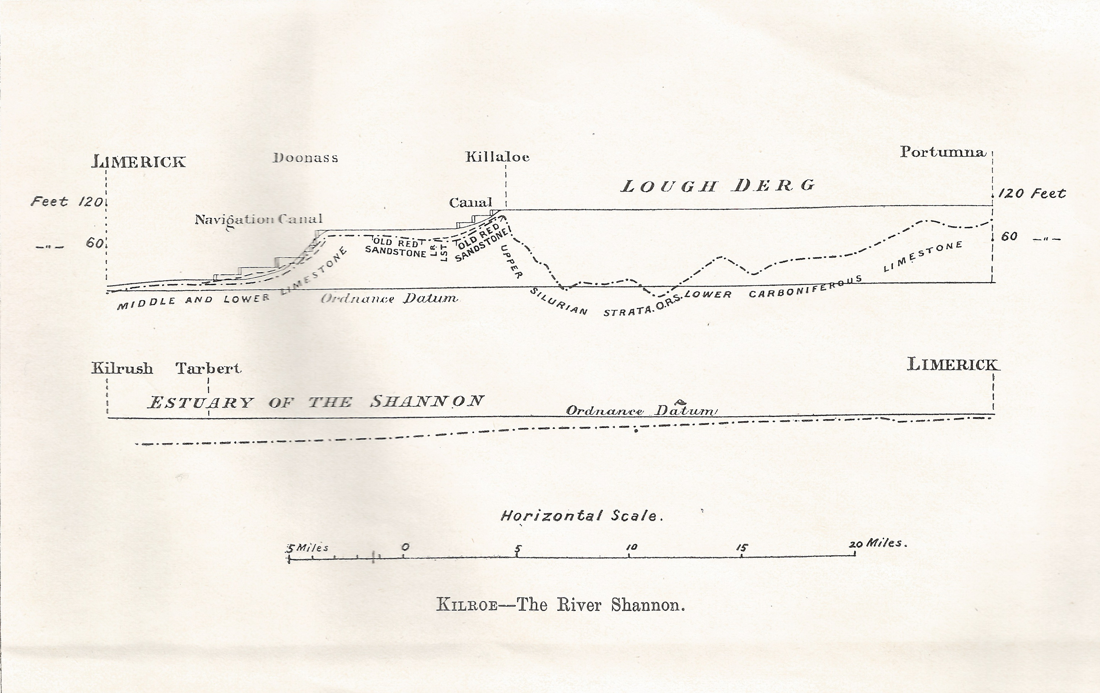
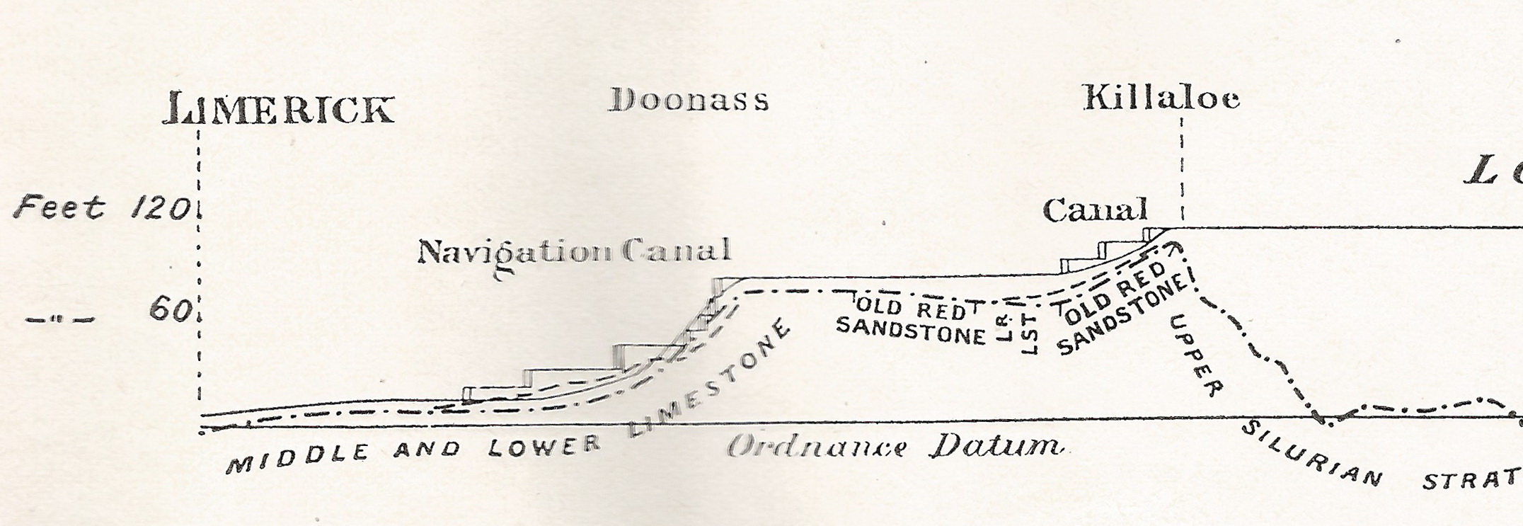
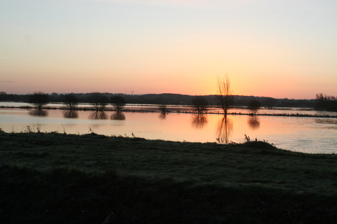
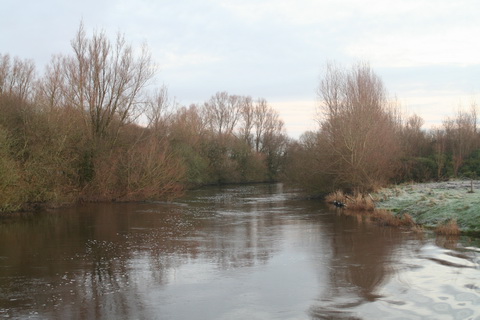
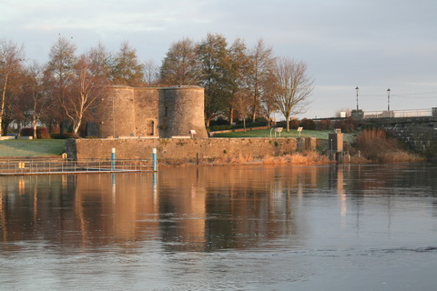
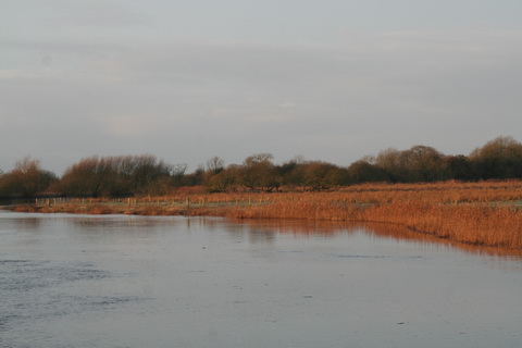
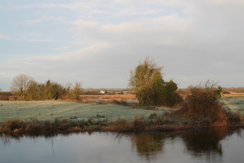
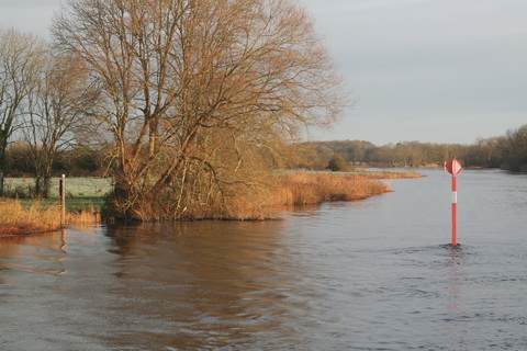
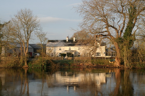
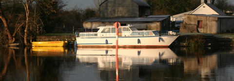
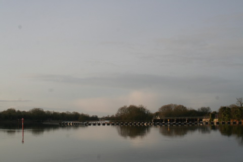
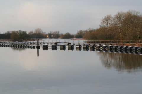
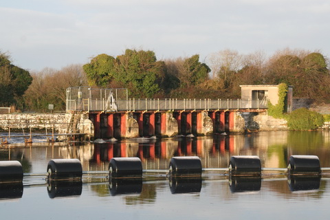
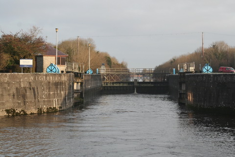
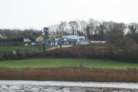
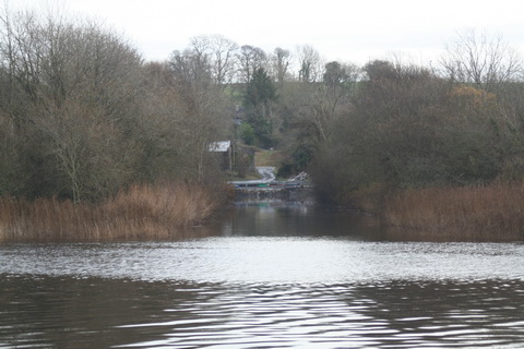
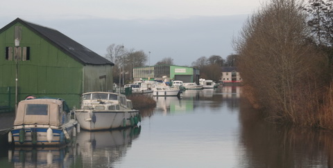
Lough Derg

If you don’t have obsessive customers, who are compelled by their inner urges to dangle maggots in your waters (or whatever else turns them on), then you might try offering a compelling attraction: something that is so interesting that folk put it on their to-do lists. Unfortunately, as Fáilte Ireland’s Lakelands Lough Derg Roadmap [PDF, 6.7MB; well worth reading] admits,

Lough Derg does not have suffient key attractions that act as a draw to the area.

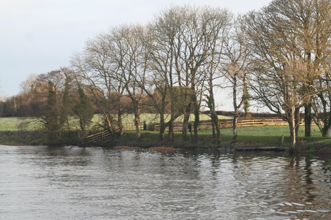
The same thought has often struck me. As you drive around the lake, you see signs pointing towards it. But suppose you’re a casual tourist who hasn’t already booked an activity. When you get to the lake, about the only thing you can do is look at the water (which becomes less interesting after a while) or at the jolly people enjoying themselves on boats (ditto).

You can, in some places, go to a pub or eatery, but you don’t need to come to Ireland to do that. Or you can paddle. If you fish, you can fish, but I’m trying to think of things for non-anglers. In Killaloe, you can take a boat trip; in Dromineer, you can hire a sailing boat; in Mountshannon, you can visit Holy Island. But there is nothing you would come to Ireland for: nothing you can’t do in other places.

Roadmap remedies

The Roadmap proposes these remedies:

The following three key tourism products are proposed:

  • A Discovery Point and Trailhead at the Portroe lookout
  • A Lough Derg Canoe/Kayak trail
  • An enhanced offering and facilities at University of Limerick Activities Centre (ULAC).

Two additional tourism products are proposed:

  • Portumna eco-park (masterplanning required)
  • Publications to promote and support active enjoyment of Lough Derg and surrounds.

There is, alas, another set of categories of potential visitors:

The three market segments identified with the best potential for delivering international visitors to Lough Derg have been identified as Curiously Cultural, Great Escapers and Nature Lovers.

Other, less exploitable, market segments are identified too, but I can’t bring myself even to name them.

Finding the punters

I’d hate it to be thought that I was a marketing expert, but it seems to me that this segmentalisation is coming at things from the wrong end. In effect, it’s saying “We have these things; what sort of person might be induced to buy them?” Then you give each of those sorts of person a category and say that you’ve found your market.

But compare that with what the fisheries folk do. They can identify magazines that anglers read, maybe (for aught I know) television programmes they watch, trade shows they visit. Identification is easy: the titles will include words like “fishing” or “angling”.

But what magazines — other than those on the top shelf — have “Curiously Cultural” or “Nature Lovers” in the title? How do you track down “Great Escapers”? It seems to me that these categories might help you to tailor a message that is broadcast to large audiences through mass media: in such cases it doesn’t matter if you appeal to only 1% of the audience, provided that that audience is large enough. However, that’s not an option available to those with small budgets: they need cheaper marketing through channels that will provide much higher returns.

Small operators

And that’s where we come back to the fact that most of the potential tourism operators around Lough Derg are pretty small. Who is going to put together packages of activities that will appeal to the curiously cultural? I’m interested only in filling my B&B and you’re interested in hiring out bicycles. I’m happy to refer customers to you and vice versa, but are we going to get together to provide packages and to share our marketing budgets? There is a Lough Derg Marketing and Strategy Group, but it seems to be dominated by representatives of public sector bodies, and there is a limit to what they can do.

To compete on a European scale, what’s really needed is a large commercial organisation. I suggest, therefore, that the best thing to do would be to get Goldman Sachs to advise on how Lough Derg might be privatised.

Second-best would be the formation of a tourism cooperative.


Royal Canal water supply

On 26 November 2012 I noted that

The Royal Canal water supply applications have been approved by An Bord Pleanala. There were two separate applications […] but they were in effect treated as one.

There were conditions attached, but I concluded that

If I remember correctly, the amount of water available from Lough Ennell will not always provide enough (eg in a dry season) to keep the canal full. Still, this is a significant advance for Waterways Ireland and for Royal Canal enthusiasts.

So here we are, almost two years later, and the work of providing a supply from Lough Ennell to the Royal Canal, reckoned to be about a five-month job, has doubtless been long completed, no?

No.

The work has not yet started and Waterways Ireland will be lucky if it gets done within the next year.

As I understand it — and if, Gentle Reader, you have more information, do please leave a Comment below (your name can be kept out of public view if you like) — there are three sources of delay:

  • first, I understand that there is a technical issue about one of the conditions attached to the approval; it is felt that the condition is unworkable, but that getting it changed might take some time. I presume it’s one of the conditions 2(a) to 2(d) that I quoted two years ago and, looking at the proposed orders published in the press [PDF], I suspect it might be the requirement to maintain the lake level at or above 79.325 mOD Malin Datum. However, I don’t really know
  • second, Waterways Ireland took over Clonsingle Weir, at the outlet from Lough Ennell, by Compulsory Purchase. Owners of mills, who generate electricity from the Brosna, have submitted claims for compensation. I understand that an arbitration hearing, lasting four days, is scheduled to be help in May 2015
  • third, responsibility for the scheme has moved from Westmeath County Council to Irish Water. Which may have other things on its mind.

Irish Water has published its proposed Capital Investment Programme [PDF] but Appendix 1, the Investment Plan Project Summary, is in a separate file [PDF]. Category B is headed Review Scope and Commence Construction and it includes

Mullingar Regional Water Supply Scheme (G) … Lough Ennell Abstraction.

I can’t work out what “(G)” means. A few items are so marked; a few others are marked “(H)”; most items have neither.

The Capital Investment Programme [CIP] document says:

 The CIP is dominated by contractual commitments entered into previously by Local Authorities, and which have now transitioned to Irish Water. In the 2014-2016 period, Irish Water will fund these contracts to completion and bring forward programmes and prioritised projects to commence. At the same time, it will progress a large portfolio of projects that are at the planning and design stage, reviewing their scope, budgets and, where appropriate, timing to favour maximising the performance of the existing assets through intensified capital maintenance that might allow deferral of major capital investment.

Emphasis mine. So that raises the possibility that Irish Water will decide not to fund the abstraction scheme but will rather opt to pay for continued pumping.

It is, of course, quite possible that I have misunderstood these difficult matters, so I will be glad to hear from anyone with better information.

Incidentally, reviewing Irish Water’s documents suggests to me that there are people there who know what they are doing and who have the expertise to manage large and complex operations. That differentiates them from the politicians in government and opposition, few of whom (as far as I can see) have any experience of running anything more complex than a parish social.


Heritage outside the box

I was not entirely complimentary about Waterways Ireland’s online survey on the contribution of boating to the economy. However, its latest online survey seemed to me to be better designed.

It’s part of a consultation seeking opinions about a Heritage & Biodiversity Plan. I was afraid that the survey might limit the scope of responses to a small number of prepackaged options, but in fact I found it easy to make suggestions that might be outside the range of those expected. The response boxes expand as required, although I didn’t test the upper limits.

I encourage readers to complete it.