Tag Archives: lock

The madness of Daniel O’Connell

In 1828 Daniel O’Connell was elected to the House of Commons for County Clare. As a Roman Catholic, he could not take the Oath of Supremacy [Frizzell, the illustrator, seems to have got his date wrong] and so could not take his seat, but the Emancipation Act 1829 removed that obstacle. However, it was not retrospective, so O’Connell had to stand again in County Clare; he was elected unopposed in July 1829.

On Sunday 31 January 1830 “The Patriotic member for Clare, Daniel O’Connell Esq, sailed from Howth […] at 8 o’clock, for England, to attend his Parliamentary duties” [Tipperary Free Press 3 February 1830] and when Parliament resumed on Thursday 4 February 1830

Daniel O’Connell Esq took the oaths prescribed by the Catholic Relief Bill, and his seat as a member for the county of Clare. The honourable member seated himself on the third row of the opposition side of the house, and exactly opposite to Mr Peel.

[London] Standard 5 February 1830

O’Connell’s letter

Before he left Ireland, O’Connell issued a letter to “the people of the County of Clare”; according to the Morning Post of 20 January 1830 it was issued from the Parliamentary Intelligence Office, 26 Stephen-street, on 15 January 1830. It began

MY FRIENDS AND BRETHREN — I take up the pledges which I made to you when I called on you to repose in me the high and awful trust of being your Representative. I will endeavour honestly to redeem those pledges.

For this purpose I propose to leave Dublin on the 26th of this month. I go off at the commencement of Term, and I shall be absent for two, if not three, entire Terms. Men will sneer at me for talking of these sacrifices to public duty, who, themselves, seek their own individual advantage in all their political exertions. I readily consent, and will proceed to do my duty to you with alacrity, zeal, and perseverance.

There was more along those lines, and then he said

My Parliamentary duties will naturally divide themselves into two distinct branches: the first relates to your local concerns; the second, to those mighty interests in which your prosperity is involved with that of all Ireland.

There were four local concerns: two about canals and two about ports.
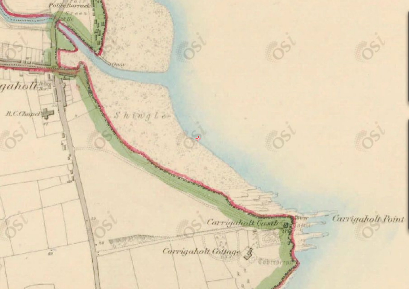
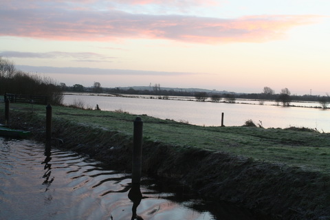
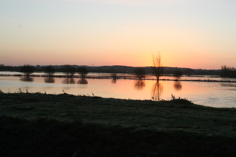
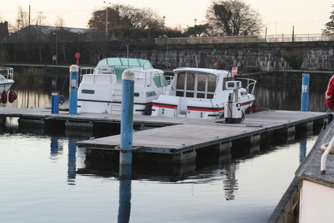
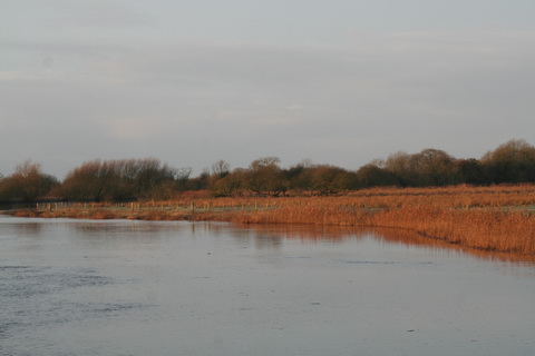
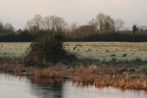
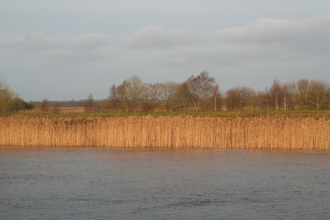
An asylum harbour

West Clare [OSI ~1900]

West Clare [OSI ~1900]

The first port proposal was to build an “asylum harbour” on the west coast. An asylum harbour was a port that provided refuge in storms: Kingstown [Dun Laoghaire] was an asylum harbour (amongst other things). O’Connell thought an asylum harbour on the west coast would provide a safe haven for vessels coming across the Atlantic, feeling the force of the Gulf Stream and the prevailing westerly winds: they risked being “embayed on the iron-bound coast between Loop Head and Hag’s Head” where the Cliffs of Moher are. It is not clear how vessels could safely enter such a harbour, given that it would require them to come close to the lee shore, but O’Connell said

The existence of an asylum harbour on Malbay would be of the greatest value to the trade of the British Isles. I do hope to be able to realise this project, in the execution of which the talents of my most valued friend THOMAS STEELE would be found to be most highly beneficial to that county which he adorns by his abilities and patriotism.

O’Connell no doubt had in mind Thomas Steele’s talents as a urinator.

Carrigaholt and Kilrush

O’Connell also wanted

[…] the construction of two suitable piers, with other works, completely to protect shipping; the one on the Bay of Carrigaholt, the other on Scattery or Kilrush Harbour.

The commerce of Kerry, Clare, and Limerick, are interested in these works. We shall certainly obtain the powerful assistance of the patriotic Member for Limerick. His assiduity, information, and public spirit, render him a model which Irish representatives should imitate.

He wasn’t quite as complimentary about Thomas Spring Rice a few years later, when O’Connell’s five-hour speech in favour of the repeal of the Acts of Union was topped by Spring Rice’s six-hour contribution.

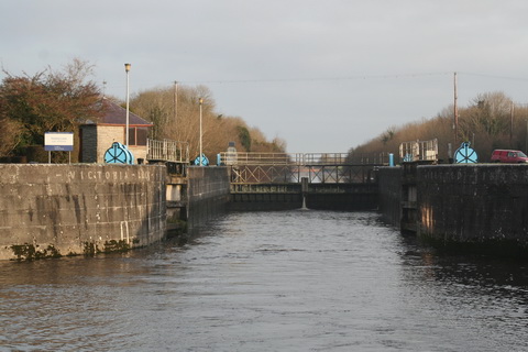
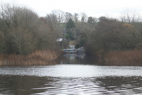
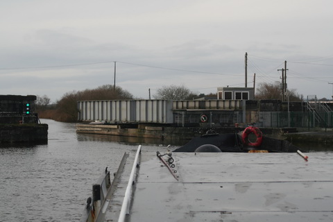
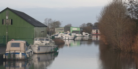
Here is a page about Kilrush. I haven’t done a page about Carrigaholt so there follows some information to fill the gap until I get around to doing it properly.

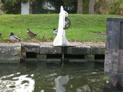
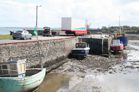
The earlier pier at Carrigaholt was built by Alexander Nimmo and was more successful than his harbour down the road at Kilbaha. Despite the description on the DIA site, I assume that it is the one shown on the 6″ OSI map.

Carrigaholt map 1

The old quay at Carrigaholt (OSI ~1840)

Here’s a photo.

Carrigaholt August 2011 7_resize

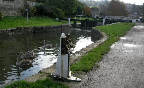
The old quay at Carrigaholt as extended

Commander James Wolfe’s Sailing Directions [PDF], compiled some time before 1848, say

Round Kilcradan, to the northward, and protected by it, is the anchorage or Road of Carrigaholt. It is a very fine secure anchorage with all winds from the westward, but from the ENE to S much sea prevails, though not heavy enough to endanger a vessel well found in ground tackling. With SW gales, a long rolling swell sets in round Kilcradan Point, which renders riding here at those times very uneasy. These roads have the advantage of being free from any great strength of tide.

The ground is level all over the road, but from six fathoms it shoals gradually towards the shores; the bottom, of sand over clay and mud, is generally considered good holding ground. The best anchorage for a large ship is with the top of Ray Hill in one with the Coast-guard Watchhouse W ¾ N, and Moyarta Lodge, just open of the point on which Carrigaholt Castle stands, nearly N ½ W in 5½ to 6 fathoms low-water springs.

The shore forms two smaller bays, the northern of which takes its name from the village which stands on its shores, and the southern is called Kilcradan. Both are very flat and shallow; in the latter there is a coast-guard station, but it is not a boarding station. The village is a poor miserable place, and does not afford supplies of any sort, nor can a ship complete water here. At the village is a small pier, accessible only (to loaded boats) at high water. It is used by the turf-boats, though most of these load on the beach.

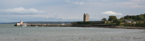
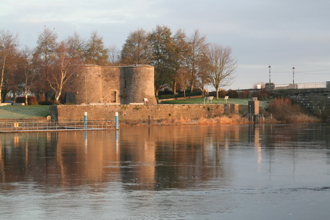
Carrigaholt Castle, a high square tower on the point, and the chapel, a cruciform building, with its belfry, are very conspicuous objects.

As those directions were written some years ago, I suggest that you should not use them for navigating nowadays. You can tell that they are out of date because the village does now afford most excellent supplies, chiefly in the Long Dock. The Long Dock does not, alas, seem to have updated its website since 2006, having gone over to the Dark Side of FaceTweet which, at least to me, is impossible to search, so I can’t point you to a list of the interesting beers the Long Dock stocks in addition to its excellent food.

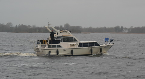
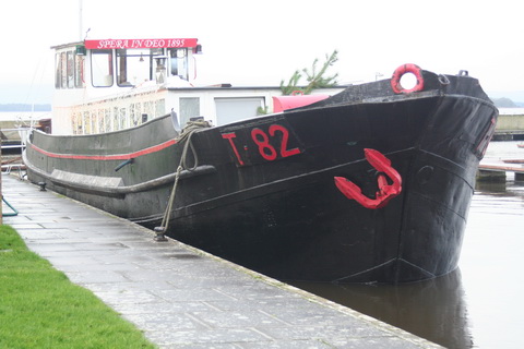
My spies tell me that, if you happen to be driving a barge from, say, Donegal to Limerick — not that I’m encouraging you to do anything of the sort — Mr Luke Aston of the Carrigaholt Sea Angling Centre will be able to advise on moorings. He’s got a Lochin, so he must be sound. You can have a day’s sea angling with him or a day watching dolphins with Geoff Magee (to whom I owe a glass of sherry), followed by a meal at the Long Dock: what more could you want?

Carrigaholt new harbour 24

Luke Aston’s Lochin [I assume] and Geoff Magee’s Draíocht

Well, if you were Daniel O’Connell, you’d want a new pier or quay.

Carrigaholt map 2

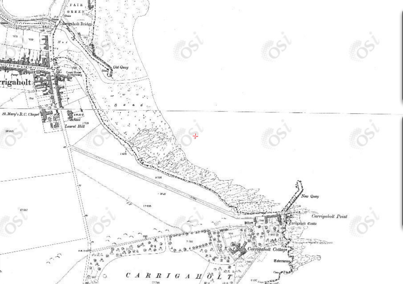
Carrigaholt old and new quays [OSI ~1900]

The old quay was extended at some stage and a new quay was built at the castle. I don’t know have dates for either of those, but I think the new quay was built as a fisheries pier in the 1890s. If, Gentle Reader, you know the dates, and can save me from having to plough through years of Board of Works reports, do please leave a Comment below.

If O’Connell had any role in having the old pier extended, that would have been the only one of his four local concerns on which he had any success, although he could also claim a minor supporting role in having the pier at Cappa, Kilrush, extended in the 1840s.

Carrigaholt new harbour 30_resize

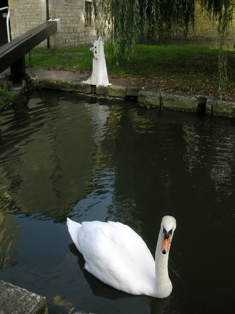
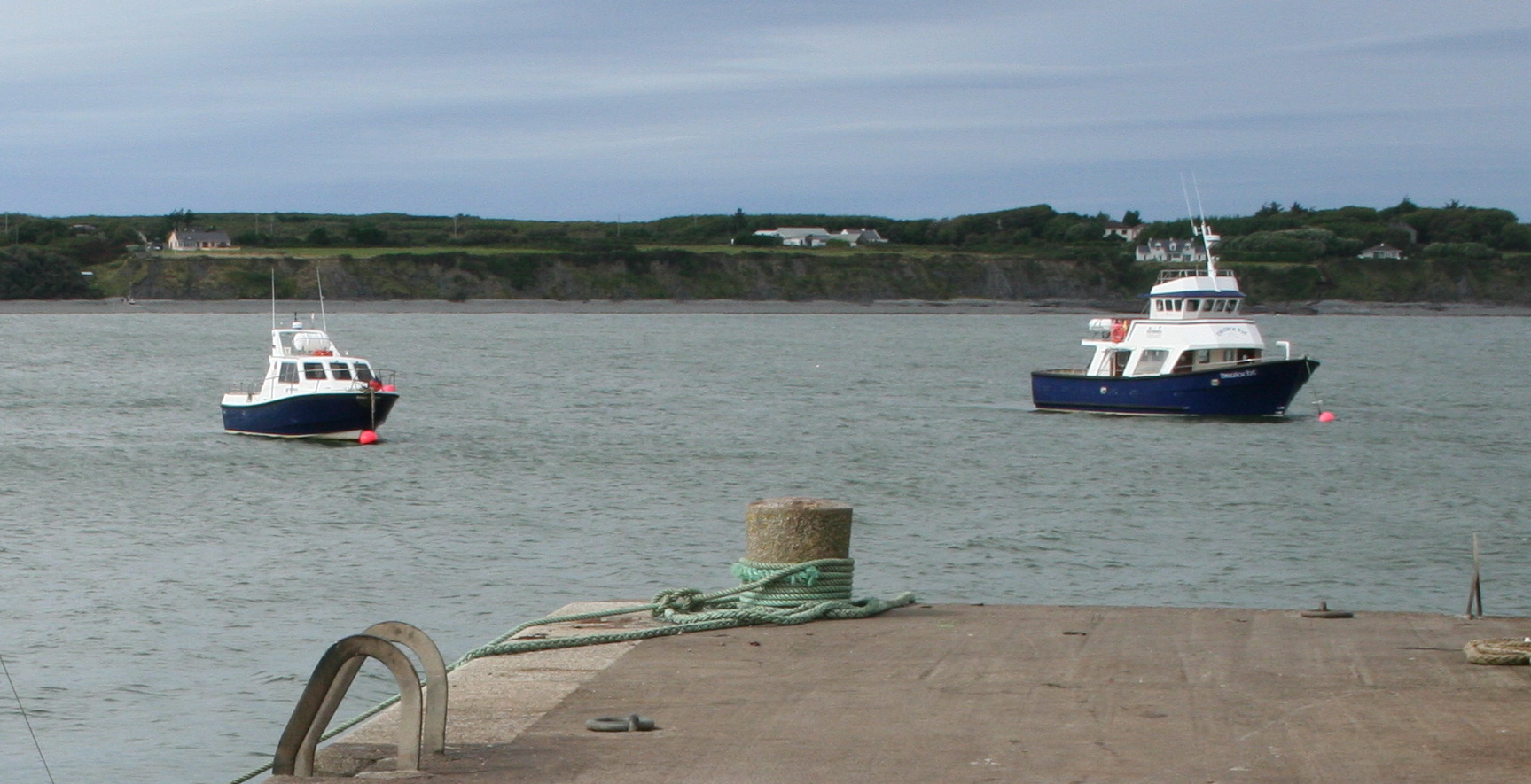
Carrigaholt new quay seen from the old quay
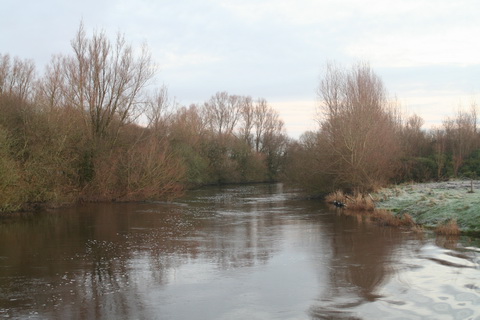
The canal to Ennis

Daniel O’Connell’s third local concern was

The opening of the navigation of the Fergus to Ennis, so as to make that town a sea-port. The tide rises about half a mile beyond that town; and if there were a short canal cut near the village of Clare, of about 300 yards, vessels of burden could deliver their cargoes at Ennis, and carry away the produce of the country to the most remote markets.

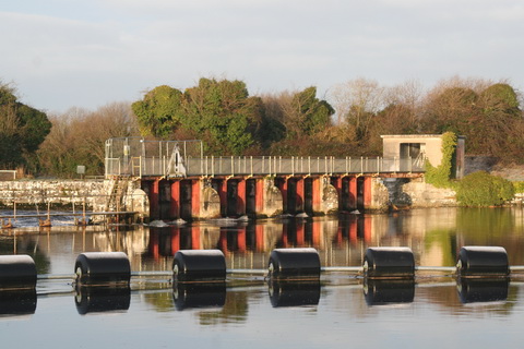
This was a proposal that came up several times, but it was never implemented. The Shannon Commissioners built a fine quay at Clare [now Clarecastle] in the 1840s, but they left it as the head of the navigation.

Wolfe’s Sailing Directions made it clear that the passage of the Fergus estuary was not to be undertaken lightly:

A mile to the eastward of the Beeves is the principal and only navigable entrance to the River Fergus, which comes from the NNE amid vast banks of mud, and numerous islets and rocks. Having passed the Beeves, steer up for Feenish Island till you bring the tall square tower of an old castle (called Court Brown) in one with the north point of Low Island, WNW¼W, which is studded with white houses.

You must then keep rather more to the northward for the round hill of Coney Island, until Cannon Castle is in one with the peak of Grady Island, W¼S, when you must bear away for the east point of Coney Island; you will then shortly come into five and six fathoms, where you must anchor with the sharp peak of Coney Island bearing N by E and Cannon Castle WSW1/3W in about six fathoms soft muddy bottom.

Grady's and Cannon Islands from off Innish Corker [Admiralty Surveyors 1841 by kind permission of the UK National Archives]

Grady’s and Cannon Islands from off Innish Corker [Admiralty Surveyors 1841 by kind permission of the UK National Archives]

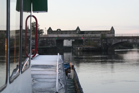
Beyond this it would be impossible to proceed without a pilot. The river beyond Coney Island winds through vast banks of mud, extending from 1 to 1½ miles from the shore, decreasing gradually in width from 600 yards, and varying in depth from nine to three feet up to the town of Clare, nearly seven miles in a direct line, and nine following the channel.

At Clare the bed of the river is dry at low water, but there is a quay, alongside of which vessels load. Clare is a miserable place, though the shipping port of Ennis. It is a military station.

Pilots may be had at Low Island, but no vessel above 150 tons should go up to Clare.

Clare_resize

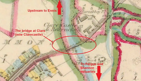
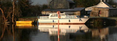
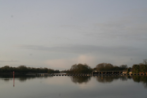
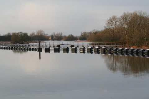
The bridge at Clare[castle] [OSI ~1840]

As well as a lock, some opening mechanism would have been required for vessels to get though the bridge, which was not the current flat structure; here is a photo of the old bridge.

Clarecastle Fergus Navigation June 2007 07_resize

Looking from the Shannon Commissioners 1840s quay at Clare towards the bridge

Clarecastle November 2014 16_resize

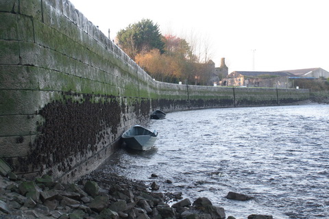
Clarecastle gandalows at the quay

Clarecastle old quay from far side 03_resize

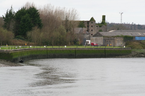
The quay from across the river

Very low water at Clarecastle 5_resize

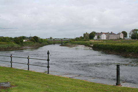
Low water at Clarecastle

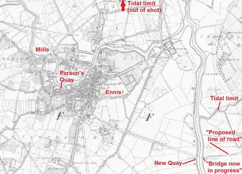
The interesting thing is that, even though a boat could not pass through Clarecastle to the estuary, there must have been some navigation on the Fergus; I would like to know more about what and how much was carried when. There was a quay, Parson’s Quay, in Ennis …

Ennis_resize

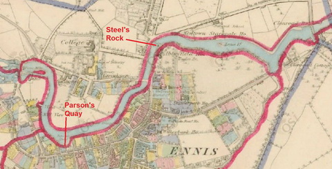
Parson’s Quay in Ennis [OSI ~1840]

… and another quay further downstream. I put the next map in black and white to make it easier to see things; it’s scaled down from the Ennis map.

Quays_resize

Ennis and district [OSI ~1840]

The map also shows that O’Connell was right about the tide: it did flow well above Ennis.

The other canal

Although the first three proposals were not implemented, and probably would have been either uneconomic or unsuccessful, they weren’t absolutely bonkers. His fourth idea, though, was nuts.

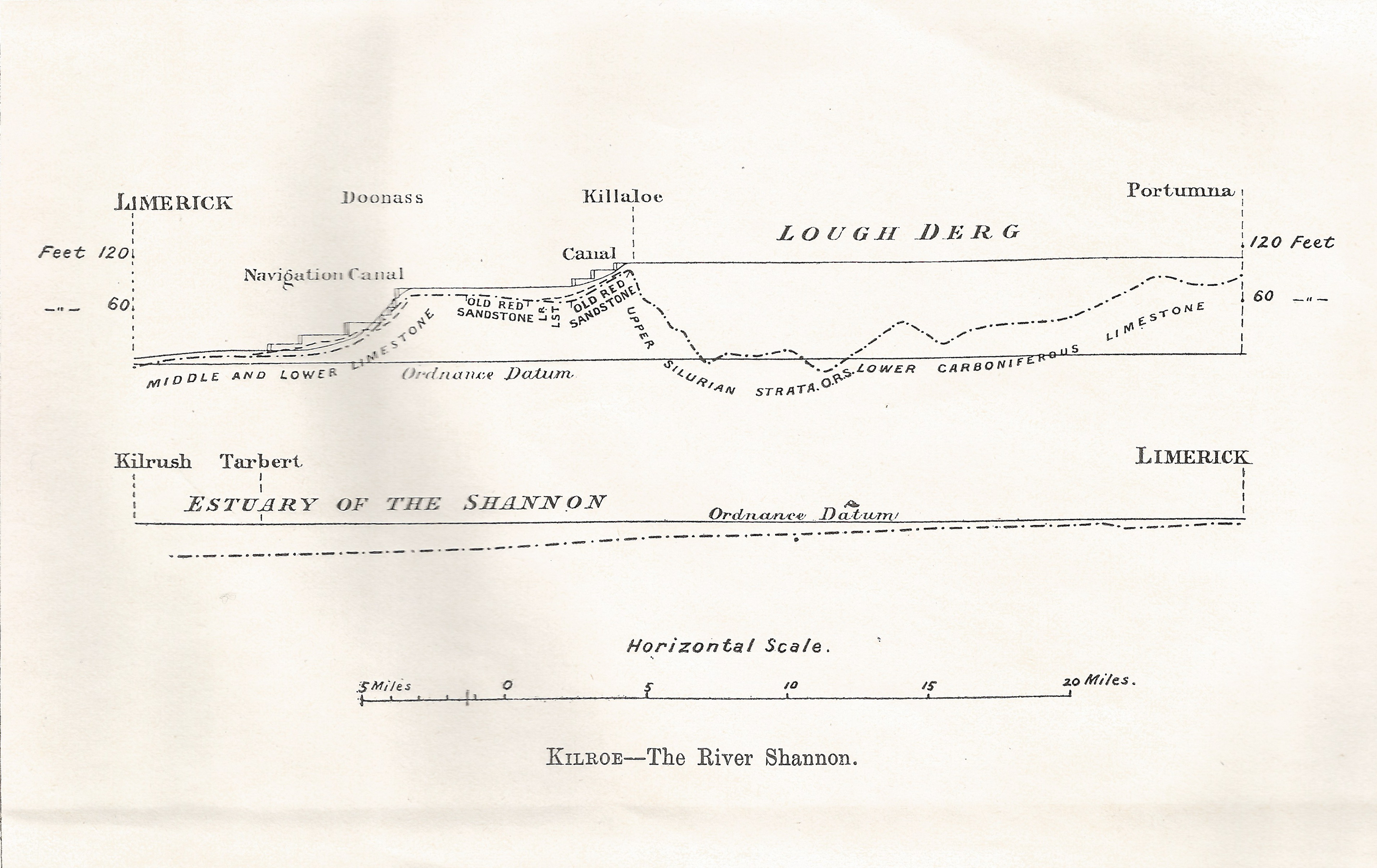
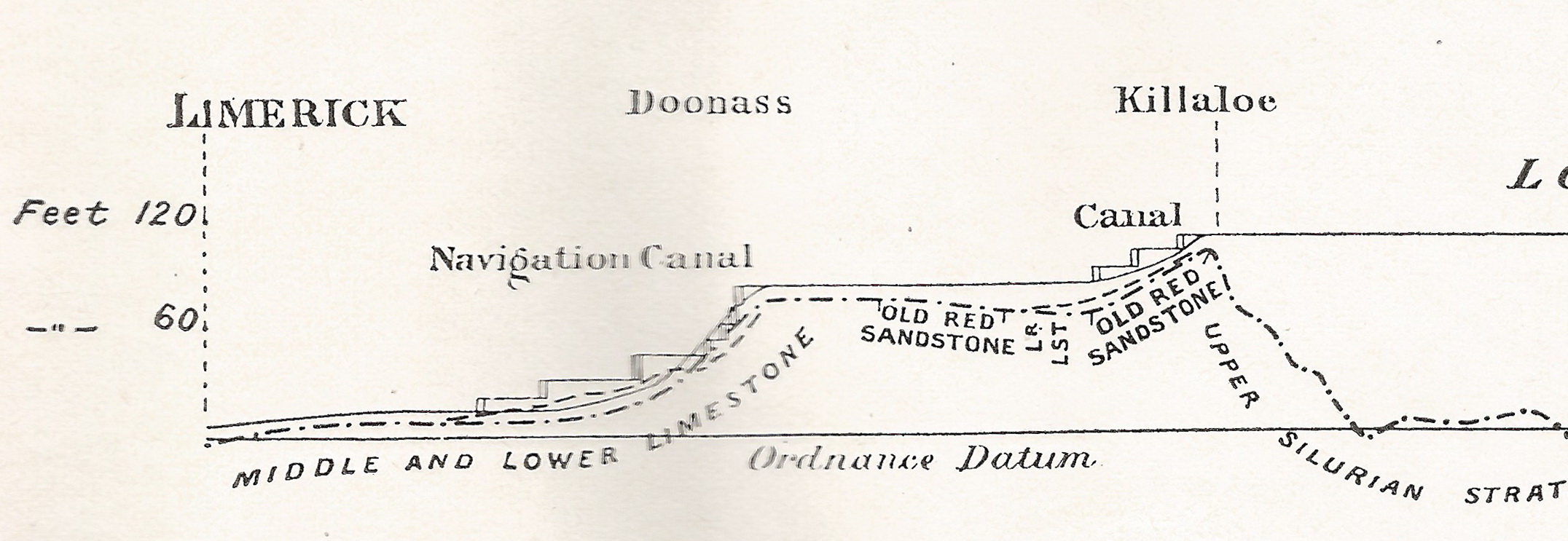
The fourth local concern relates to a communication by a canal from the bay of Galway to Limerick. The point of junction should be somewhere in the neighbourhood of Killaloe. The entire of the western and midland counties of Ireland would derive great advantage from such a canal.

Getting through the hills above Killaloe would have been fun. But the real problem with the proposal is that O’Connell fundamentally misunderstood the nature of the Irish economy. Each Irish port served its own hinterland, shipping out its produce and shipping in coal, timber and other overseas goods. But the ports did not need to trade with each other, as each performed the same function.

The exception to that was created by the application of steam on the inland Shannon, which allowed perishable produce from the Limerick area to be carried across Ireland for export through Dublin to Britain. That role was soon taken over by the railways.

But there was no point in connecting two westward-facing ports by canal: if they needed to trade with each other, they could do so by sea.

My OSI logo and permit number for website

Plassey in 1851

Plassey August 2010 37_resize

Free the Black Bridge

Here is a page about a cot race at Plassey in 1851.


Tullamore drowning

A respectable boat owner, named Stapleton, when passing through Tullamore, on Saturday morning, and while putting his boat through lock No 27, lost his balance and was precipitated into the chamber, the water in which was then so low as to prevent those on the bank from rendering immediate assistance; he was sucked through one of the sluice gates, and completely removed from human exertion. His body was ultimately got out of the water, and medical assistance promptly, but fruitlessly, afforded.

Statesman and Dublin Christian Record 5 June 1846 quoting the King’s County Chronicle

The Shannon in winter

Downriver from Shannon Harbour to Dromineer in December 2014. It began as a bright, cold morning.

Shannon Harbour to Dromineer December 2014 01_resize

Leaving Shannon Harbour after icebreaking between the locks

Shannon Harbour to Dromineer December 2014 02_resize

Flooding to the south-east

Shannon Harbour to Dromineer December 2014 03_resize

But southward, look …

Shannon Harbour to Dromineer December 2014 06_resize

The Brosna

Shannon Harbour to Dromineer December 2014 73_resize

Heading for Banagher Bridge 1

Shannon Harbour to Dromineer December 2014 75_resize

Keeping close to the pontoons

Shannon Harbour to Dromineer December 2014 98_resize

Heading for Banagher Bridge 2

Shannon Harbour to Dromineer December 2014 103_resize

Heading for Banagher Bridge 3

There is a YouTube video of the shooting of the bridge here. It seems to start automatically, including sound; I don’t know how to avoid that.

Shannon Harbour to Dromineer December 2014 107_resize

Looking back at Banagher

Shannon Harbour to Dromineer December 2014 116_resize

Colours

Shannon Harbour to Dromineer December 2014 124_resize

Invernisk

Shannon Harbour to Dromineer December 2014 129_resize

Shannon Grove

Shannon Harbour to Dromineer December 2014 134_resize

Current

Shannon Harbour to Dromineer December 2014 140_resize

Scarpering heron

Shannon Harbour to Dromineer December 2014 146_resize

Colours

Shannon Harbour to Dromineer December 2014 149_resize

Marker and gauge

Shannon Harbour to Dromineer December 2014 151_resize

House

Shannon Harbour to Dromineer December 2014 169_resize

Boats at Meelick

Shannon Harbour to Dromineer December 2014 170_resize

Meelick weir

Shannon Harbour to Dromineer December 2014 174_resize

East bank

Shannon Harbour to Dromineer December 2014 176_resize

Protective boom

Shannon Harbour to Dromineer December 2014 181_resize

Sluices

Shannon Harbour to Dromineer December 2014 198_resize

Through Meelick Lock

Shannon Harbour to Dromineer December 2014 205_resize

One bird

Shannon Harbour to Dromineer December 2014 213_resize

Many birds

Shannon Harbour to Dromineer December 2014 221_resize

Reeds

Shannon Harbour to Dromineer December 2014 226_resize

Architecture

Shannon Harbour to Dromineer December 2014 228_resize

Munster Harbour

Shannon Harbour to Dromineer December 2014 233_resize

Delaying Eamon Egan

Shannon Harbour to Dromineer December 2014 235_resize

Gateway to civilisation

Shannon Harbour to Dromineer December 2014 237_resize

Connacht Harbour

Shannon Harbour to Dromineer December 2014 239_resize

Lough Derg: weather has changed

Shannon Harbour to Dromineer December 2014 243_resize

Journey’s end, Dromineer


Wading in the water (not)

See the bottom of a lock (with no water in it). This is Carpenters Road Lock in London, which also featured here.

h/t CELR

Saunderson’s Sheugh

The Minister for  Arts, Heritage and the Gaeltacht [who is also a Fine Gael TD for Cavan–Monaghan] spoke at the meeeting of the Joint Oireachtas Committee on Environment, Culture and the Gaeltacht on 25 November 2014. She said:

In addition to progressing North-South co-operation, my key priority is progressing the first stage of the Ulster Canal project from upper Lough Erne to Castle Saunderson, near Belturbet, County Cavan. I am working on this with the Government and other key partners, including the North-South Ministerial Council and Waterways Ireland. […]

It sounds, then, as if the minister intends to get work started on the Clones Sheugh, but only as far as Castle Saunderson, where there is a scouting establishment. The route from Quivvy Lough (location of the Quivvy Marina) is along the Finn River; the first 5.5 km of the route would be in the river and the last 8.5 km to Clones in a canal. The route to Castle Saunderson would, I imagine, require dredging and the removal of rocks as well as work on [or replacement of] Derrykerrib Bridge [I have not read all the details].

It would, of course, be faster to get there by road, but no doubt lots of people will travel from Foreign Parts for the excitement of seeing Castle Saunderson from the water and paying tribute to the memory of a stout Orangeman and founder of the Irish Unionist Alliance.

No mention of the treasure-hunting group who are to find the money, but there’s an election in the offing so money won’t be a problem. Until afterwards.

Quivvy to Castle Saunderson [OSI ~1840]

Quivvy to Castle Saunderson [OSI ~1840]

The minister also said:

Regarding the Ulster Canal, which stretches from upper Lough Erne to Castle Saunderson, we hope to get the project started on that section because that is the one part of the inland waterway system that has not been developed. If we get that done, the Ulster Canal will connect into Lough Neagh. That means we will have a complete network of waterways in Ireland, which is very important. It is also a cross-Border project, and there is a peace dividend in terms of that project. It is very important in terms of cross-Border relationships. It is one shovel-ready project that can be progressed.

The minister said that “a complete network of waterways in Ireland […] is very important”. She did not say why and I can think of no possible economic justification for the creation of such a “network”. Nor is it clear what the “peace dividend” is. But the phrase that evoked most terror is “shovel-ready project”, which I take to mean something that might buy votes in the next election.

The minister’s predecessor, Éamon Ó Cuív, a Fianna Fáil TD for Galway West, said:

I welcome the Minister’s continuation of the work on the Ulster canals. There was quite a bit of work done on that in my time and I was very anxious to see it progress on a step-by-step basis. I was going to bring it to Clones, I am not sure whether the place the Minister mentioned is further or nearer than that.

The minister interjected:

It is not as far as Clones. We will start it anyway and we will get it there.

And Mr Ó Cuív continued:

I take the view that even if she were to get it half a mile, we should just nibble away at it until we get it finished. It is of strategic national importance and if we could connect Coleraine, where I was the other day and where my poor car is getting mended, all the way down the coast through Lough Neagh down to Shannon and back up the canals, it would be a fantastic facility for the island. I will not be heard complaining in any way that it is in the Minister’s constituency – that just happens to be a happy coincidence in this case.

Actually, although both Quivvy Marina and Castle Saunderson are in the Free State, most of the River Finn route is in the United Kingdom of Great Britain and Northern Ireland.

It seems that I must cease to speak of the Clones Sheugh: it’s Saunderson’s Sheugh. I suppose that, if reaching Castle Saunderson were enough to shut up the Shinners, who seem to be madly keen on Sheughery for some reason that is hidden from me, that might be a bargain: it would certainly be better than going all the way to Clones.

My OSI logo and permit number for website


Down to the sea in steps

On 28 January 1907 James Robinson Kilroe [near the bottom of the page] of H M Geological Survey read to the Royal Irish Academy a paper on “The River Shannon: its present course and geological history” [Proceedings of the Royal Irish Academy Vol XXVI Section B No 8 Hodges, Figgis & Co Ltd, Dublin; Williams & Norgate, London 1907]. I thought that Plate V was interesting.

Shannon Derg to sea

Plate V

Kilroe wrote:

It will be perceived that instead of the river being shallow over the unyielding Silurian slate-rock, set almost vertically, and striking across the river-course, it is deeper than over the limestone of Lough Derg, and much deeper than over the comparatively easily eroded Old Red Sandstone at Killaloe. The river-bed actually drops below the datum line above the town, while at the town it is 100 feet above datum.

Old Red Sandstone strata are here to be seen in the river-bank, and Silurian rocks in situ in its bed. A barrier is thus formed, partly of Silurian, and partly of Old Red Sandstone rocks, which without the artificial impounding weir would retain the waters of Lough Derg to a depth of some 104 feet opposite Derrycastle — two miles above Killaloe.

One might have expected to find a fairly level shallow bed from Killaloe northward, a sudden drop from slate-rock to the sandstone floor, and  a pronounced wide, well-formed valley in the limestone district southward to Limerick.

None of these elements exist; instead, we have the formidable barrier at Killaloe, naturally damming up a considerable depth of water in Lough Derg, and the river falling away southward by a series of rapids which correspond with drops in the canal, south of O’Briensbridge […], along an alternative course, possibly one used by a branch of the Shannon.

Here is an extract from the Plate V map, showing the steps of the (pre-Ardnacrusha) Limerick Navigation between Lough Derg and the sea.

Shannon Killaloe to Limerick

The steps of the canal (click to enlarge)

Upstream

Kilroe wrote of Lough Ree:

The waters of Lough Ree stood some 10 feet higher within recent times than they now do, as proved by evidence of solution, with under-cutting of limestone blocks, to be seen about five miles north-west of Athlone, close to the railway, in the townland of Cornaseer.

Under these conditions the lake must have been, perhaps, twice its width, and for a considerable period. Its ancient surface-level is clearly indicated by the caps of the mushroom-shaped blocks.

And of the Shannon between Lough Ree and Lough Derg:

The extreme flatness of the river between Athlone and Meelick is such that, consequent upon the completion of the Suck Drainage-works in 1892, it was found that the callows along the Shannon above the confluence of the Suck at Shannonbridge were much more liable to sudden and frequent floodings than they previously had been.

The more rapid discharge of the Suck waters into the Shannon, before ordinary extra water had time to pass away, had the effect of modifying the regimen of the main stream to an extent which resulted in an action at law [La Touche -v- The Suck Drainage Board].

I have found only one account of that case, in the Freeman’s Journal of 1 July 1893. The plaintiffs, Messrs Harrison and La Touche, owned land at Cappaleitrim, on the west bank of the Shannon above Shannonbridge. They said that the actions of the Suck Drainage Board had caused their lands to be flooded:

[…] that the defendants brought water from the Suck into the Shannon, containing a drainage of 40 miles, with such velocity and such volume that the Shannon was penned back, and that the back water caused the damage to the lands complained of.

[…] The jury disagreed and were discharged.

I don’t know whether the matter ever again came before a judge.

The Black Bridge at Plassey

I am repeating here a point I made in response to a comment on this page. I do so because the point is, I think, an important one: some readers don’t check the comments and might miss this.

I have an imperfect copy [with some lines missing] of an indenture made on 8 July 1949 between the Minister for Finance and Limerick County Council under which the Council leased from the Minister

… all that those parts of the lands of Garraun and Sreelane on which Plassey Bridge abuts on both banks of the River Shannon and the site and piles of said Plassey Bridge together with said Plassey Bridge […].

I am not a lawyer, so my interpretation may be misleading, but I think that there are two points of interest.

The first is that, under the indenture, the Council is obliged to “well and sufficiently repair cleanse maintain amend and keep the hereby demised premises”, which includes the bridge. The Council is also required to “use the said demised premises as a public highway”.

The second is that, if the Council fails to do so, the Minister, and his agents the Commissioners of Public Works in Ireland, are entitled (after giving due notice) “to enter upon the hereby demised premises and to execute and to do the necessary repairs and works and the Lessees [ie Limerick Councy Council] shall repay the expenses of such repairs to the Lessor on demand […]“.

As far as I can see, Limerick County Council is in breach of its agreement with the Minister for Finance, and that Minister is entitled to repair the bridge and charge the Council for the cost.

If only there were a Minister for Finance who had an interest in Limerick (or in bridges) ….

Airholes on the Kennet & Avon Canal

John Ditchfield very kindly photographed some airholes on the Kennet & Avon Canal and sent on the photos. The captions are his comments.

Bath05_resize

Good length of overflow. Water flowing.

Bath07_resize

No overflow.

Bath06_resize

(Rebuilt) small openings are above the level of the top of the adjacent lock gate. However, just upstream there is another paddle or sluice gate on the canal side (next photo), so perhaps that is used to control the level.

Bath08_resize

The upstream paddle or sluice gate.

Bath09_resize

Overflow in action, preventing water overflowing gates.

Note: this lock connects the canal with the River Avon, and the building in the background was a steam pumping station, presumably for topping up the canal from the river.

Many thanks to John for taking the trouble.

Royal Canal water supply

On 26 November 2012 I noted that

The Royal Canal water supply applications have been approved by An Bord Pleanala. There were two separate applications […] but they were in effect treated as one.

There were conditions attached, but I concluded that

If I remember correctly, the amount of water available from Lough Ennell will not always provide enough (eg in a dry season) to keep the canal full. Still, this is a significant advance for Waterways Ireland and for Royal Canal enthusiasts.

So here we are, almost two years later, and the work of providing a supply from Lough Ennell to the Royal Canal, reckoned to be about a five-month job, has doubtless been long completed, no?

No.

The work has not yet started and Waterways Ireland will be lucky if it gets done within the next year.

As I understand it — and if, Gentle Reader, you have more information, do please leave a Comment below (your name can be kept out of public view if you like) — there are three sources of delay:

  • first, I understand that there is a technical issue about one of the conditions attached to the approval; it is felt that the condition is unworkable, but that getting it changed might take some time. I presume it’s one of the conditions 2(a) to 2(d) that I quoted two years ago and, looking at the proposed orders published in the press [PDF], I suspect it might be the requirement to maintain the lake level at or above 79.325 mOD Malin Datum. However, I don’t really know
  • second, Waterways Ireland took over Clonsingle Weir, at the outlet from Lough Ennell, by Compulsory Purchase. Owners of mills, who generate electricity from the Brosna, have submitted claims for compensation. I understand that an arbitration hearing, lasting four days, is scheduled to be help in May 2015
  • third, responsibility for the scheme has moved from Westmeath County Council to Irish Water. Which may have other things on its mind.

Irish Water has published its proposed Capital Investment Programme [PDF] but Appendix 1, the Investment Plan Project Summary, is in a separate file [PDF]. Category B is headed Review Scope and Commence Construction and it includes

Mullingar Regional Water Supply Scheme (G) … Lough Ennell Abstraction.

I can’t work out what “(G)” means. A few items are so marked; a few others are marked “(H)”; most items have neither.

The Capital Investment Programme [CIP] document says:

 The CIP is dominated by contractual commitments entered into previously by Local Authorities, and which have now transitioned to Irish Water. In the 2014-2016 period, Irish Water will fund these contracts to completion and bring forward programmes and prioritised projects to commence. At the same time, it will progress a large portfolio of projects that are at the planning and design stage, reviewing their scope, budgets and, where appropriate, timing to favour maximising the performance of the existing assets through intensified capital maintenance that might allow deferral of major capital investment.

Emphasis mine. So that raises the possibility that Irish Water will decide not to fund the abstraction scheme but will rather opt to pay for continued pumping.

It is, of course, quite possible that I have misunderstood these difficult matters, so I will be glad to hear from anyone with better information.

Incidentally, reviewing Irish Water’s documents suggests to me that there are people there who know what they are doing and who have the expertise to manage large and complex operations. That differentiates them from the politicians in government and opposition, few of whom (as far as I can see) have any experience of running anything more complex than a parish social.