Tag Archives: Clare

More reading material

A bit of a break from the politicking ….

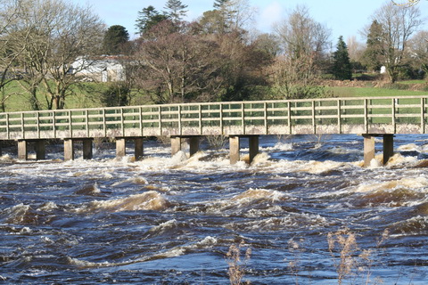
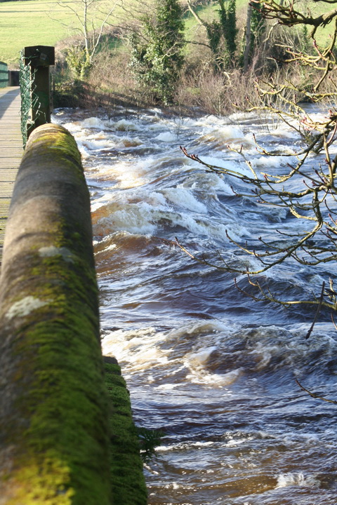
First,  the long-awaited second edition of David Walsh’s extraordinary book Oileáin is now available from Pesda Press. It’s an exhaustive guide to the islands around Ireland, seen from a sea-kayaker’s perspective. It tells you where they are, how you get there, what the tides and currents and hazards are, whether you might be able to camp …. A lot of this is, of course, aimed mainly at folk rather more athletically minded than I am, but I got it for its information about the islands in the Shannon and Fergus estuaries. David’s website keeps an electronic version updated, so that you can check the latest information before you set off, but even if you’re unlikely to start paddling to the Skelligs yourself you may find the information and the photos of interest.

Shannon enthusiasts will be familiar with Richard Hayward’s Where the River Shannon Flows, written as Hitler’s war was breaking out. It is an account of a road trip down the Shannon during which a film about the river was being made: the party was in Portumna when Hayward heard, on a wireless set through a window, that Britain was at war with Germany. I was privileged, some years ago, to be able to see the film and to match it with the scenes from the book, from which L T C Rolt drew information for his Green and Silver. Hayward was a proud Ulsterman, but one who was happy to meet, converse and exchange songs with anyone of any creed anywhere in Ireland. He was, if I remember correctly, a confectionery salesman by way of a day job, but more importantly he was an actor, a writer and a singer. His style is of its time, and perhaps rather laboured by modern standards, but he was a decent skin and I haven’t read anything of his that I didn’t enjoy. I am pleased to learn that a biography, An Unrepentant Romantic — the life and times of Richard Hayward by Paul Clements, is due to be published by Lilliput Press in May.

In the same month, UCD Press is to publish James Murphy’s Ireland’s Czar: Gladstonian government and the lord lieutenancies of the Red Earl Spencer, 1868–86. That’s this chap here, whose claim to fame is that he has a dock on the Royal in Dublin, and a harbour on Lough Allen, both called after him.

I don’t know whether I want to shell out €50 for Nigel Everett’s The Woodlands of Ireland, 700–1800 [Four Courts Press, May], but I like the idea that it

Focuses on the fundamentally pragmatic and commercial view of trees adopted by Gaelic civilisation, and the attempts of the various Anglo-Irish administrations to introduce more conservative woodland practices into Ireland.

Cad a dhéanfaimid feasta gan adhmaid? Why, we’ll import seacoal from Whitehaven, of course.

Finally, I am hoping that Joe Curtis’s Terenure: an illustrated history [The History Press, Ireland, March] will have more information about the remarkable Bourne family.

The information on forthcoming books comes from the magazine Books Ireland, which was until recently edited by old Shannon hand (and, if I mistake not, former Ditchcrawler) Jeremy Addis. Jeremy has now passed over the tiller and the magazine is now edited by Tony Canavan and published by Wordwell.


The Gillogue railroad

Gillogue, in Co Clare, is the site of a former Burlington factory and of a Clare entrance to the University of Limerick. It is also the site of a lock on the Plassey–Errina Canal, a section of the old Limerick Navigation, and of quarries, gravel pits and lime kilns.

And, according to the 6″ Ordnance Survey map, of around 1840, Gillogue also had a railroad.

The Gillogue rail road

The Gillogue rail road (click to enlarge)

The railroad was almost certainly not for carrying passengers; it may have been a light railway, with small wagons pushed by men or pulled by horses, and designed to be taken up and moved elsewhere fairly easily. However, I have no hard information about who owned it, who built it or what it was for. I can make guesses, based on its closeness to the canal and to the quarries, but it would be nice to have evidence.

If, Gentle Reader, you know anything about it, do please leave a Comment below.

My OSI logo and permit number for website

Lowering Lough Derg

Boat-owners concerned about high water levels on Lough Derg will be glad to know that relief is in sight, although it may take a little while to arrive. Irish Water has taken over the project to send Shannon water to Dublin and is procuring something, although it is not at all clear what that is. The, er, news item is so far leading in the competition for least informative press release of the year.

Big it up for the OPW

I’ve just been reading some particularly nitwitted Dáil discussions and I need some time to calm down enough to report on them to the Learned Readers of this site. Let me just say that anyone who thinks that politicians cannot distinguish fact from fiction is absolutely right. But enough of that for the moment.

I reported earlier on an oddity in the results from the OPW’s Athlone waterlevel gauge. I emailed the OPW about it and a helpful chap got back on more or less immediately.

He explained that the data we see on the waterlevel.ie site is, as it were, live: raw unfiltered data with nothing added, nothing taken away. The same data goes in to the OPW and they spotted that the Athlone gauge was reading too high. They found the sensor was faulty; they have now adjusted it and the new, lower readings are correct.

The disappearance of the placenames is because of some work in progress on improving the website; they will be back.

He kindly pointed me to a list, in .xlsm format, downloadable from here; it shows all hydrometric stations in Ireland. It shows who operates them, whether they’re active and whether they use telemetry (which I take to mean that they can be monitored remotely). Unfortunately OPW itself doesn’t seem to have any gauges on Lough Derg and nor does Waterways Ireland. OPW does have a rather excitable gauge at Scarriff and gauges upstream of Meelick Weir and Meelick (Victoria) Lock. The ESB has gauges with telemetry at Ballyvalley (25073) and Killaloe (25074) but I can’t find any website giving the levels. If, Gentle Reader, you can find one, perhaps you would let us know.

The consoling part of dealing with the OPW is that you get the distinct impression that they know some useful stuff. Unlike, say, some folk working in Kildare Street ….

Doonbeg

It seems that this chap has bought the glof course near the (proposed) Doonbeg Ship Canal. I’m sure that any further development will be in the best possible taste.

Pathé on Shannon

Shannon floods 1959 1

Shannon floods 1959 2

Pylons!

The Carrick-on-Suir creamery chimney (Shannon Scheme electrification)

Building the headrace


Relieving Athlone

Parteen Villa Weir is sending large amounts of water down the original channel of the Shannon, and over the Falls of Doonass, to draw water off from the upper reaches of the river.

Castleconnell water level 20140210 264_resize

The footbridge at Castleconnell

Castleconnell water level 20140210 267_resize

Above the bridge

Castleconnell water level 20140210 269_resize

The downstream side of the bridge

Castleconnell water level 20140210 271_resize

A bumpy ride

Castleconnell water level 20140210 273_resize

At normal levels the bottom of the wall is several feet above the water


Levels below Parteen Villa have not yet reached those of 2009 and the channel can probably take more before folk get flooded.

The Old River Shannon site has some photos taken at Parteen Villa Weir.

Reading list

Waterways Ireland has been putting out more and more stuff on its website.

If you haven’t already seen them, you can get the full set of Product Development Studies, in PDF format, here.

Even more interesting, to this site, are the waterway heritage surveys. Those for all waterways other than the Shannon are available here. The Shannon study was done some years ago (I remember making some comments on it at the time) and will be uploaded “in due course”.

I was in a WI office yesterday and had a quick look at the Lower Bann survey, which was done by Fred Hamond (so we know it will be good), and I’m looking forward to learning more about the waterway I know least about. It is done thematically and has lots of illustrations: Fred is able to see and present the bigger picture, but a full database, with all the supporting information, is available on request.

The amazing success of Harbour Flights

I have written before about Harbour Flights, which operated a seaplane (floatplane) at Mountshannon on Lough Derg and conducted trial flights hither and yon. I was a little confused about whether Harbour Flights was “fully operational” but its redesigned web page (there were once several pages) carries the impressive news that the company has been so successful that it has ceased operations, at least temporarily.

But it will be back, and instead of operating a single aircraft, which was actually owned by somebody else, it will have a veritable fleet “operating from [sic] destinations nationwide” and will be “fully operational again”, which suggests that it was fully operational before. I wonder how many of the “50 new Irish jobs” were created when it reached that point.


Lough Derg floods: a book

If you happen to have €1400 or so to spare, you could buy Henry Trench’s 1879 book called Shannon Floods. Lough Derg level. The 25 Miles North from Killaloe with a double-page map and seven coloured plates. I have no connection with the seller — and no €1400 either, so I won’t be buying it.