Category Archives: Drainage

Limerick water levels 14 December 2015

The Abbey River

Abbey Bridge 20151214 01_resize

Abbey Bridge

Baal's Bridge 20151214 04_resize

Baal’s Bridge

Mathew Bridge 20151214 01_resize

Mathew Bridge

Mathew Bridge 20151214 05_resize

Current heading for Mathew Bridge

The Shannon in Limerick

Shannon in Limerick 20151214 02_resize

The weir

Plassey

Plassey 20151214 01_resize

Lots of pumps running and equipment trundling about the place

Plassey 20151214 02_resize

Trouble at t’mill

Plassey Millstream 20151214 01_resize

T’millstream

Plassey 20151214 10_resize

Cots on the bank

Plassey Black Bridge 20151214 01_resize

The Black Bridge getting another hammering

Annacotty

I have been told that the Mulkear River rose very rapidly on Saturday night and that, at one time, it was feared that the (older) bridge would be swept away. I gather that folk working in other areas were called to Annacotty to deal with the emergency.

Annacotty 20151214 01_resize

The old bridge at Annacotty (downstream face)

Annacotty 20151214 12_resize

A tree in the water above the bridge

Annacotty 20151214 14_resize

There’s a weir in there somewhere

The Mill Bar in Annacotty was closed today after being flooded.

Annacotty 20151214 15_resize

The Mill Bar

Annacotty 20151214 03_resize

This, from a small garden beside the bridge, suggests that the Mulkear may have carried and deposited a lot of silt

The Park Canal

I gather that the Mulkear’s waters, added to those of the Shannon itself, raised the level of the Park Canal (the bottom section of the Limerick Navigation). A problem with opening the lock gates, to release the water, meant that a few houses in Corbally were flooded. A Sinn Féin councillor, whose party colleague has been responsible [with her southern counterpart] for slashing Waterways Ireland’s budget in recent years, is quoted as saying

I am in no doubt it was primarily caused by the ineptitude of Waterways Ireland.

Alas, the news story does not tell us the source of the councillor’s certainty.

The article also says that

[…] the force of this water meant it was not possible to open the lock gates by hand.

That is, I think, misleading: neither set of gates has gate beams, so they are not opened by hand.

park canal mist 03_resize

The upper gates in 2004, shortly after installation. Note the absence of gate beams. Note also the two sluices or paddles on each gate

Park Canal 20151214 31_resize

Control pedestal and gear

Park Canal 20151214 11_resize

The upper gates open today

I see no sign of the paddles or sluices. Perhaps the level is so high that they’re underwater. I must try to check next time I’m at the canal harbour.

Canal lower lock floods 20091128 1_resize

The upper gates in the floods of 2009

In the floods of 2009 the upper gates were held slightly open and all four sluices were discharging water. That would have lowered the level in the canal; it would also, I think, have made it easier to open the gates fully.

I am guessing, but I imagine that on Saturday night some sort of hydraulic machine was brought in this way …

Park Canal 20151214 21_resize

Two bollards have been moved from the gateway and stacked beside it

… and used to push or pull open the near-side upper gate. There seems to be some slight damage to the stone and iron work.

Park Canal 20151214 10_resize

Slight damage

One other possibility that struck me is that silt from the Mulkear might have built up behind the gates, making them difficult to open, but I have no evidence on the matter.

Park Canal 20151214 12_resize

The lower gates

Park Canal 20151214 22_resize

From the outside looking in


ESB water discharge info

Here is the ESB’s Notifications page, with info on the rate of discharge from its hydroelectric dams and weirs. Today (14 December 2015) Parteen Villa Weir is discharging 440 cumecs (cubic metres per second or, roughly, ton[ne]s per second down the original course of the Shannon. That’s 44 times the 10 cumec usually discharged and more than replaces the 400 cumec diverted through the headrace to the Ardnacrusha power station. The Shannon is therefore running at its pre-Ardnacrusha levels and the Falls of Doonass have regained their power.

Of course if Ardnacrusha didn’t exist, its 400 cumec would be coming down the original course of the Shannon on top of the 440 cumec already there, which would make for interesting levels of flooding.

That ESB page has a link to this infographic, which shows the sort of information I was trying to get across here. I usually start from Leitrim [village]; the ESB starts slightly further upstream at Lough Allen. Note that the Shannon’s few locks are concentrated upstream of Lough Ree: between them and Killaloe are only two locks, at Athlone and Meelick, so the river’s fall is very slight.

Update 2018: the ESB has a new page with lots of interesting information here.

What’s a cumec, Daddy?

I don’t know, but here’s a picture of 415 of them flowing through Castleconnell. [Update 13 December: that may be only 405 cumec.]

Castleconnell 20151212 10_resize

415 cumecs on 12 December 2015

Actually, a cumec is one cubic metre of water per second, which is roughly one ton per second, which is a lot of water. And 415 cumec is the amount that, according to the blatts, the ESB is currently letting down the original course of the Shannon from Parteen Villa Weir; the minimum flow in that channel, as seen in summer, is 10 cumec.

Castleconnell 12 December 2015

Castleconnell 20151212 02_resize

Younger trees getting their feet wet

Castleconnell 20151212 11_resize

Who’d have guessed?

Castleconnell 20151212 14_resize

Below the bridge

Castleconnell 20151212 21_resize

Above the bridge

Castleconnell 20151212 34_resize

Stormont

Castleconnell 20151212 37_resize

Pump

Castleconnell 20151212 40_resize

Sandbags

Castleconnell 20151212 42_resize

Sandbag Central

Castleconnell 20151212 43_resize

Sandbags filled here for distribution

Castleconnell 20151212 46_resize

Army engineers

Castleconnell 20151212 50_resize

More equipment arriving

Clonlara 11 December 2015

Headrace Clonlara 20151211 01_resize

Ardnacrusha headrace, said to take 400 cumec

PEC Errina Bridge 20151211 04_resize

Errina bridge on the Plassey-Errina Canal

PEC Errina Bridge 20151211 01_resize

The stop planks seem to be quite effective …

PEC Clonlara upstream 20151211 01_resize

… as there is little water getting down the canal to Clonlara bridge

Park Canal 9 December 2015

Park Canal 20151209 01_resize

Depth gauge at Park Lock

Park Canal 20151209 03_resize

Lock chamber

Park Canal 20151209 04_resize

Full canal upstream


Monitoring water levels

Several organisations maintain sensors that detect water levels; some of them publish their readings on tinterweb.

The Office of Public Works, for example, shows real-time water levels here; this page shows the changes at Banagher over the past thirty-five days. It may be that the ESB’s run-off of water at Parteen Villa Weir has been having some effect.

The Environmental Protection Agency has a list of monitoring stations but you have to swear not to burn down the queen’s dockyards, insult the president or sell your granny before you’re allowed to look at it. When you’ve done that, you can view Hydronet data, but you have to choose your River Basin District first. If you choose the Shannon RBD, you get a list of stations — none of them on the Shannon itself — arranged in no comprehensible order, so you’re on your own after that. Here’s the one at Tyone on the Nenagh River by way of example.

Finally, Waterways Ireland has information here. The page takes quite a while to load. It covers only the waterways for which the body is responsible and information about the current water level (as compared with MSL Malin) is of limited use unless you’ve been monitoring it for some time. And, alas, there is no information on anywhere on the Shannon south of Meelick (Victoria) Weir, presumably because Waterways Ireland can’t control anything south of that.

Who can? The ESB, and I suspect they must have gauges at, say, Killaloe, but if they do I can’t find the readings published anywhere. It would be a boon and a blessing to men if ESB were to publish its information.

There is one other source of information that might help: there are some webcams on Irish rivers. Farsons have several, though none on the Shannon, and at the moment I can’t get any of the Irish ones to work for me.


Why the Shannon floods

From the search terms used, it seems that many people are visiting this site with questions about Parteen Villa Weir, water levels, Shannon floods and so on. They are not this site’s primary focus, but some non-technical information might be of interest.

The best place to start is with this quotation from a former web page of the Shannon International River Basin District:

The Shannon International River Basin District is the largest in Ireland at more than 18,000 km2 in area. It covers the natural drainage basin of the Shannon river itself, stretching from the source of the River Shannon in the Cuilcagh mountains in Counties Cavan and Fermanagh to the tip of the Dingle peninsula in north Kerry. It also includes coastal parts of Kerry and Clare which drain to the sea. It flows through 18 local authority areas and is also an international RBD as a small portion of County Fermanagh in Northern Ireland drains underground to the Shannon Pot.

The district is about one fifth of the area of the island, one quarter the area of the state. Rain that falls on that area of land ends up in the Shannon (or in a few small rivers in Clare and Kerry that flow to the sea). Some goes to the Shannon estuary or its tributaries; most flows into the non-tidal Shannon, which means the river upstream of Limerick.

The nature of the Shannon

Ireland has been described as saucer-like, with a high rim and a low flat centre. It’s not entirely true, but there certainly is a very large central plain, and the Shannon flows down through the middle of that. And, because the land it flows through is flat, the river falls very little.

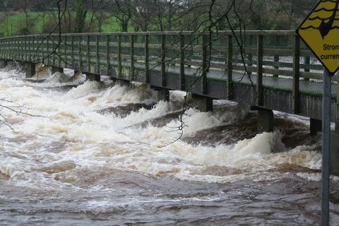
In 113 miles from Leitrim to Killaloe, the Shannon falls just over 30 feet; the navigation channel needs only five locks. [By way of contrast, the Thames has 45 locks over 135 miles; the Trent has 12 locks over 42 miles.] So extra rainwater allows the Shannon to spread out, covering a much wider area, and it takes time for that water to drain away downstream. But many of the rivers that flow into the Shannon have been subjected to drainage schemes, so they can get rid of their flood waters quickly … into the Shannon.

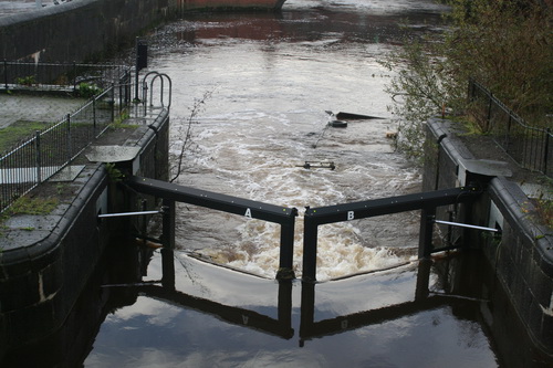
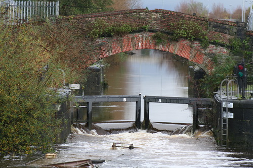
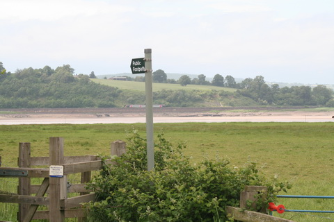
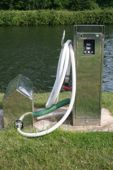
Why don’t they open [or close] the weirs?

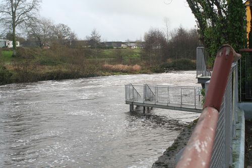
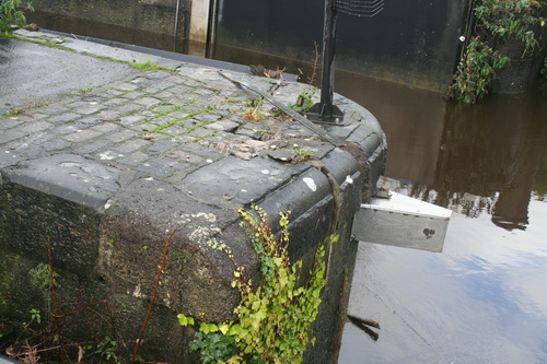
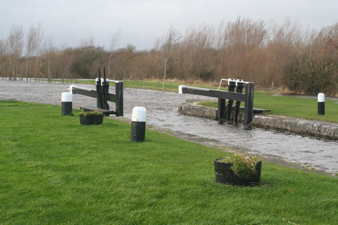
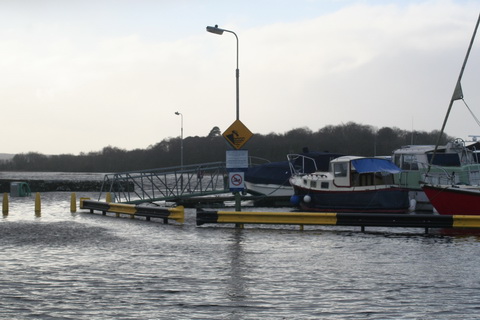
There are some weirs on the Shannon, designed to keep a minimum depth in the river for navigation; there are also some natural obstacles that hold water back. But once the level has risen high enough, water simply flows over the top of the weir, and there is nothing useful anybody can do — apart, of course, from farmers’ representatives and politicians, who can always make use of a photo opportunity.
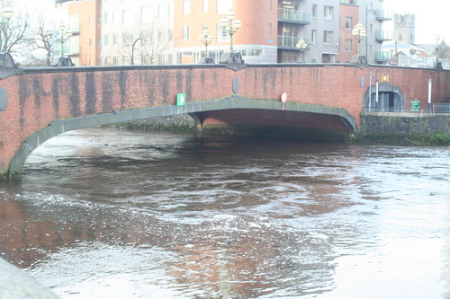
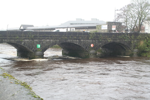
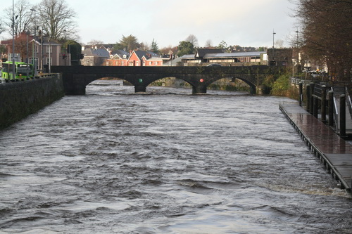
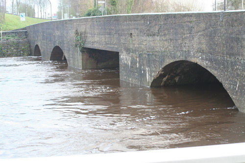
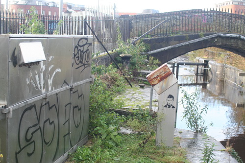
The bottleneck

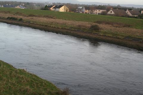
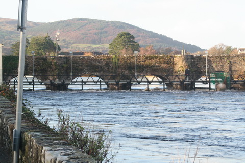
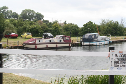
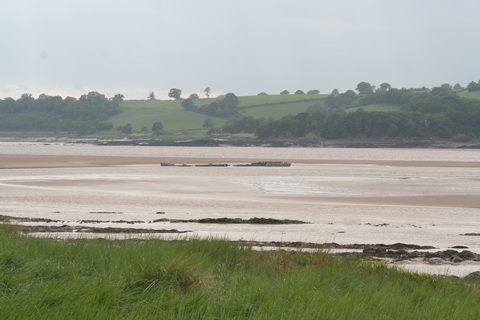
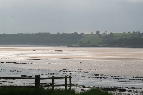
Almost all the water that enters the non-tidal Shannon will eventually flow through Killaloe, the town at the southern end of Lough Derg [it’s on the west bank, in Co Clare; the east bank is Ballina, in Co Tipperary].

As James Robinson Kilroe wrote in 1907,

[…] we have the formidable barrier at Killaloe, naturally damming up a considerable depth of water in Lough Derg, and the river falling away southward by a series of rapids which correspond with drops in the canal, south of O’Briensbridge […], along an alternative course, possibly one used by a branch of the Shannon.

The diagrams with that article are worth a look.

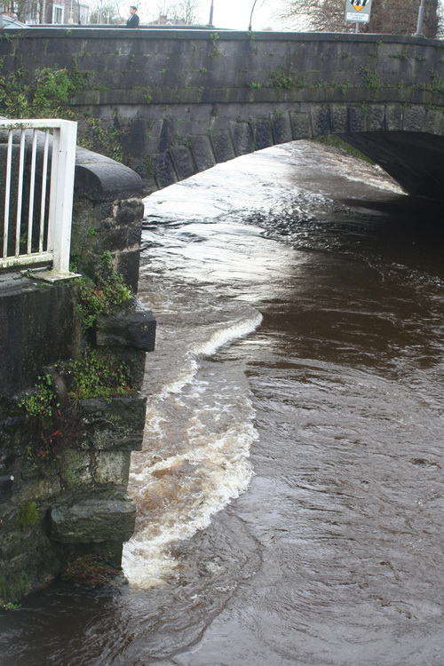
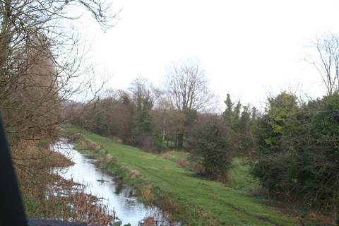
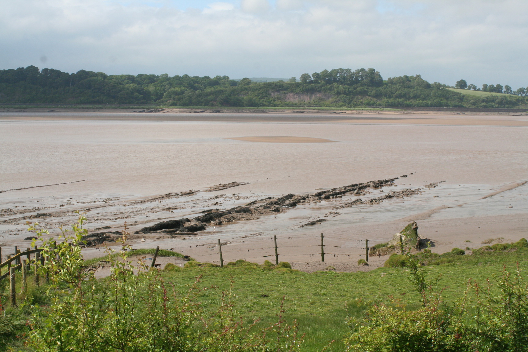
In the twelve Irish (fifteen statute) miles between Killaloe and the tidewater at Limerick, the river falls about 100 feet: more than three times its fall from Leitrim to Killaloe. In the nineteenth century, the water level at Killaloe used to change by about eleven feet between summer and winter — even without storms.  The old Limerick Navigation, including the canal Kilroe mentioned, could drain only a small amount of water (which could put the navigation out of action); the rest went down the river’s original course through the Falls of Doonass.
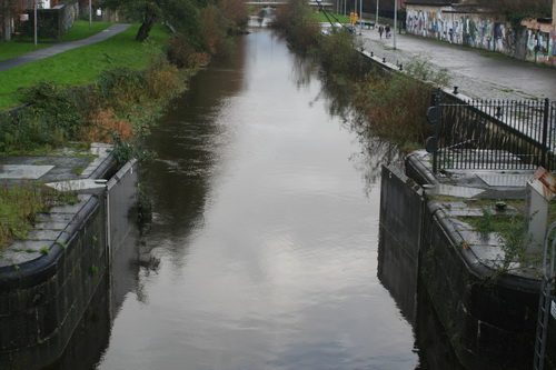
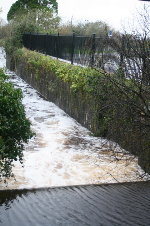
The relief channel

Nowadays, the Falls of Doonass are a shadow of their former selves, and the water level through O’Briensbridge, Castleconnell and Plassey is much below its previous levels. I suspect that the older, larger trees along the river show the original level, with the newer, smaller trees having grown since the 1920s.

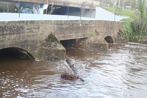
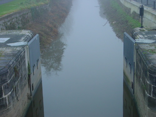
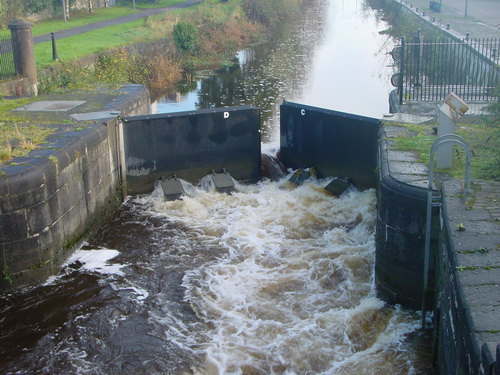
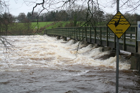
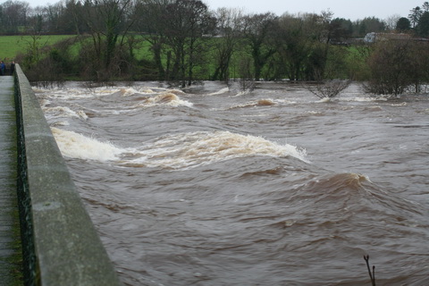
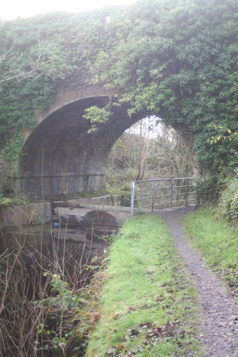
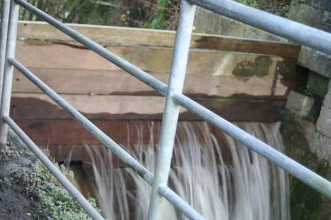
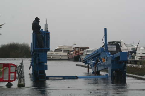
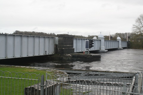
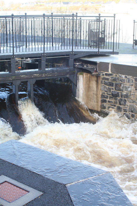
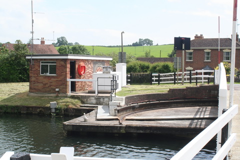
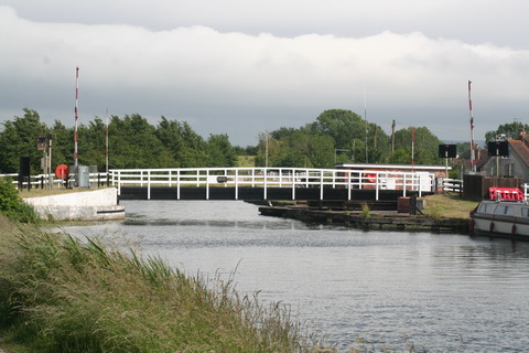
The cause was the construction of a relief drainage channel in the 1920s. This channel is controlled by a weir at Parteen Villa [not to be confused with Parteen].

Actually, of course, it’s not a relief drainage channel. The weir [sometimes referred to as the Hydro Dam] controls the flow of water to the original course of the Shannon [the right-hand or eastern channel, which gets the first 10 cubic metres of water per second] and the headrace for the hydroelectric power station at Ardnacrusha [the left-hand or western channel, which gets the next 400 cubic metres of water per second, 100 for each of its turbines]. The power station was built to use that 100-foot fall of the Shannon, concentrated between Killaloe and Limerick, to generate electricity.

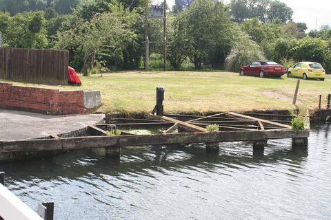
But one effect of the construction of Ardnacrusha was to provide a channel, the power station headrace, capable of taking [at least] 400 cubic metres of water per second away from the original river channel, thus reducing the likelihood of flooding.
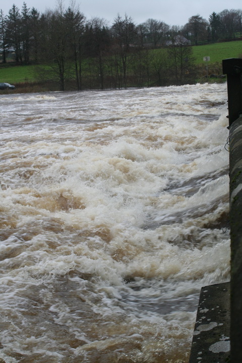
Cumec

Water experts talk about cumecs: a cumec is a flow of one cubic metre, or 1000 litres, of water per second. And a cubic metre of water weighs about one [metric] tonne, which is roughly the same as an imperial ton. So one cumec is one ton of water per second, which is a lot.

It was said, on 8 December 2015, that the ESB, using Parteen Villa Weir, had released 315 cumec down the original course of the Shannon on the previous day and had increased that to 375 cumec. If the Ardnacrusha headrace was getting 400 cumec, then the amount of water being discharged from Lough Derg and the upper Shannon had doubled.
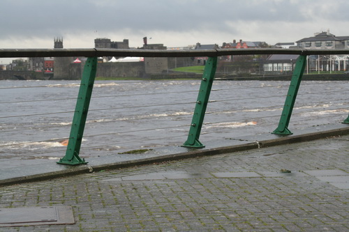
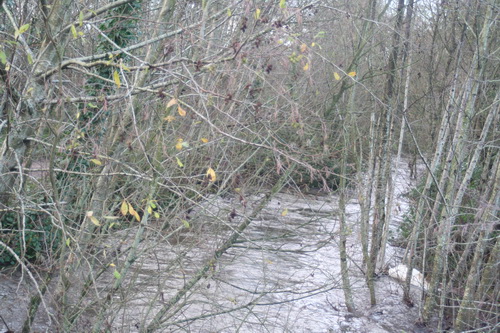
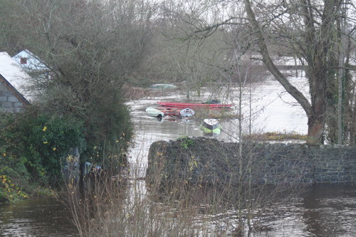
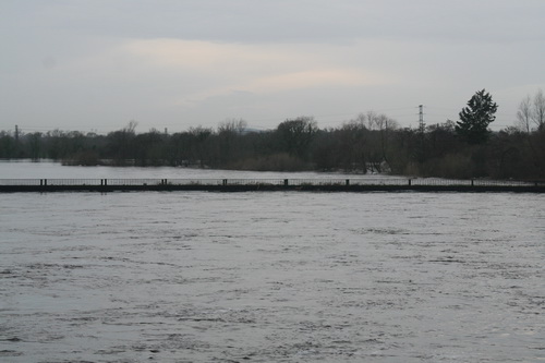
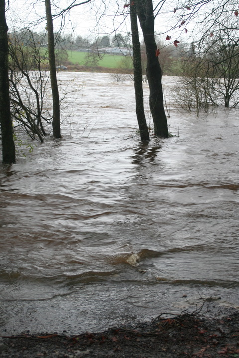
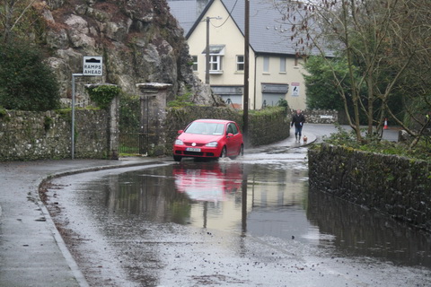
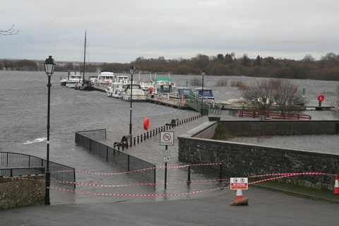
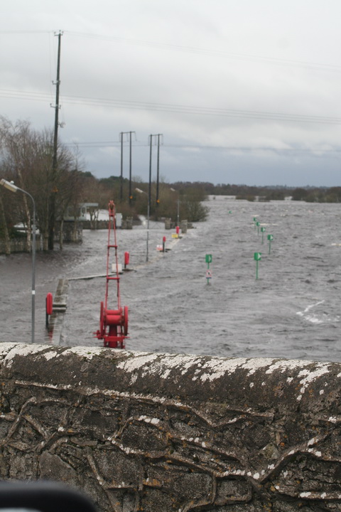
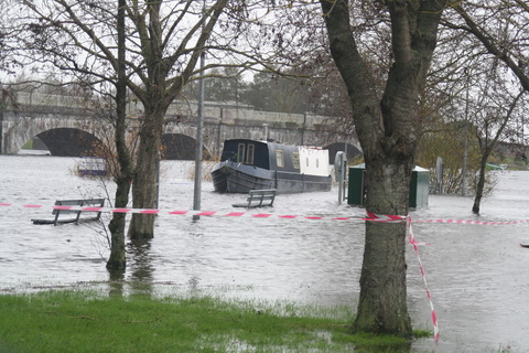
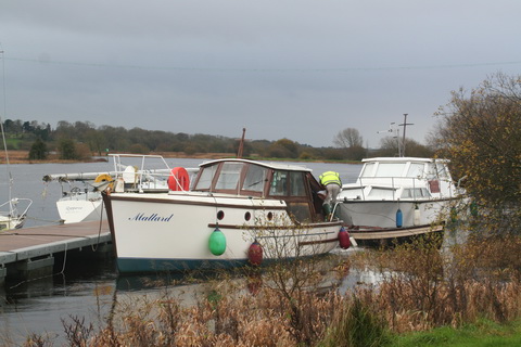
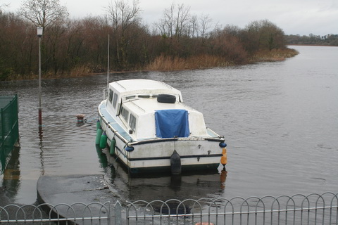
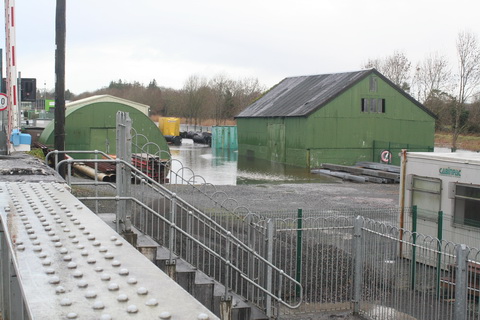
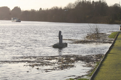
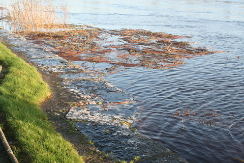
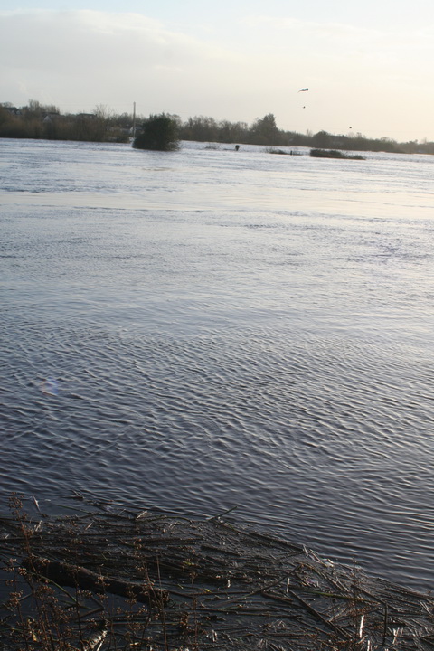
Floods

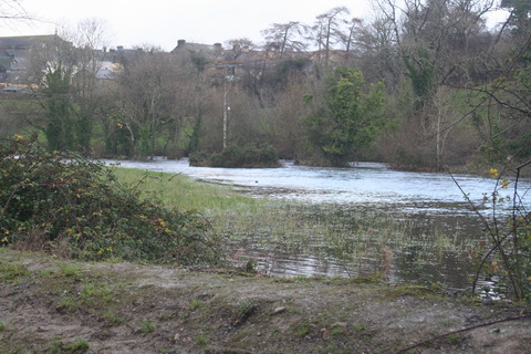
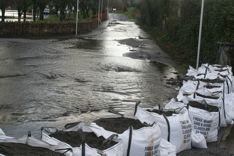
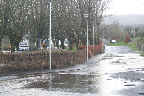
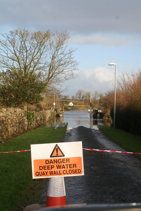
As far as I can see, the Shannon has always flooded. The 2009 floods affected some nineteenth century houses, which I guess would have been flooded even worse before Ardnacrusha was constructed. However, I suspect that more houses have been built on the flood plain since then. But I don’t see that there is any way to prevent Shannon floods.

Envoi

There is a good article in the Irish Times of 9 December 2015; it will no doubt disappear behind a paywall at some stage.

Here is an ESB infographic about the Shannon.

Shannon water levels 8 December 2015

North to south (more or less)

Floods 20151208 Shannonbridge 01_resize

Shannonbridge upstream

Floods 20151208 Shannonbridge 07_resize

Shannonbridge downstream

Floods 20151208 Shannon Harbour 04_resize

Shannon Harbour: 36th lock

Floods 20151208 Shannon Harbour 06_resize

Shannon Harbour: below the 36th

Floods 20151208 Shannon Harbour 16_resize

Shannon Harbour: road to Banagher closed

Floods 20151208 Banagher 03_resize

Banagher: the harbour above the bridge

Floods 20151208 Banagher 05_resize

Banagher: the harbour’s sole inhabitant

Floods 20151208 Banagher 09_resize

Banagher: work goes on

Floods 20151208 Portumna bridge 01_resize

Portumna Bridge: Hawthorn moving

Floods 20151208 Portumna bridge 03_resize

Portumna Bridge

Floods 20151208 Portumna bridge 02_resize

Below Portumna Bridge

Floods 20151208 Portumna bridge 10_resize

Above Portumna Bridge

Floods 20151208 Portumna bridge 12_resize

Portumna Bridge: Waterways Ireland yard

Floods 20151208 Mountshannon 01_resize

Mountshannon

Floods 20151208 Mountshannon 04_resize

Mountshannon: the main quay

Floods 20151208 Scarriff 01_resize

Scarriff: the river in flood

Floods 20151208 Scarriff 02_resize

Scarriff: the river flowing on to the road to the harbour

Floods 20151208 Scarriff 06_resize

Scarriff: sandbags blocking the road …

Floods 20151208 Scarriff 04_resize

… to the Waterways Ireland Shannon HQ. Anyone in the building must have waded there

Floods 20151208 Tuamgraney 01_resize

Tuamgraney

Floods 20151208 Killaloe 16_resize

Killaloe: the flash lock

Floods 20151208 Killaloe 26_resize

Killaloe bridge from downstream

Floods 20151208 O'Briensbridge 02_resize

O’Briensbridge

Floods 20151208 O'Briensbridge 05_resize

Water level with the quay at O’Briensbridge

Floods 20151208 O'Briensbridge 10_resize

Flooded fields at O’Briensbridge

O’Briensbridge is on the original course of the Shannon, downstream of Parteen Villa Weir, which controls how much water goes via the original course and how much goes to the hydroelectric power station at Ardnacrusha.

Normally, the original course gets the first 10 cubic metres per second (10 cumec, they say) of water and Ardnacrusha gets the next 400, 100 for each of its four turbines. In floods, any excess is sent down the original course, through O’Briensbridge, Castleconnell and Plassey. One newspaper today said that, on Monday 7 December 2015, 315 cumec had been sent down the original course and, on Tuesday 8 December, 375 cumec.

The water levels are still below the peak achieved in November 2009, but there is more to come: as the Shannon drains a very large amount of Ireland, and as it is falls very little in its upper reaches, it takes a long time for the runoff to reach Killaloe and Parteen Villa. It may be that the ESB, which controls Ardnacrusha and Parteen Villa, is now running down the level of Lough Derg to make room for the water that has yet to arrive from the upper Shannon.


Aw sheughs

On 6 November 2015 there was a meeting of the Inland Waterways flavour of the North South Ministerial Council, whereat the Minister for Fairytales (RoI) and the Minister for Marching Bands (NI), each with a sidekick, discussed waterways matters. The joint communiqué, artfully written to provide outsiders with as little information as possible, is available here [PDF], but here’s a summary:

  • WI’s “capital expenditure focused on infrastructure repairs”, presumably because it has no money for any improvements or extensions, except a bit of dredging in or near the constituency of the Minister for Fairytales
  • yes, that means the River Finn, Saunderson’s Sheugh, which we’re pretending is or was part of the Clones Sheugh or Ulster Canal
  • WI has managed to get “third party funding” of over €1 million for waterside developments, which is good: much better than transferring WI money to other bodies. WI is trying to nab euroloot but, as there were no announcements of success, we must assume that this is work in progress. Mind you, the ministers would probably claim the success (and the photoshoots) anyway
  • WI may sell some unspecified property
  • the important one:

LEGACY SCALE LINKAGES FOR NORTHERN BASED WATERWAYS IRELAND STAFF

The Council approved the determination made by Waterways Ireland regarding legacy scale linkages for northern based staff.

I knew you’d want to know about that. Whatever it means.

On 17 November 2015 the latest attempt to get the boys and girls of the Northern Ireland Assembly to be nice to other reached some sort of conclusion, which you can read about in the Irish Times (until it disappears behind a paywall) and the Manchester Guardian. But of course the important question is whether we southron loons have to buy sweeties (sheugher candies) for our northern brethren to persuade them to be polite. For that, gentle reader, you must turn to the inspiringly-titled A fresh start — the Stormont Agreement and implementation plan, available here [PDF].

You will not, of course, want to bother reading most of it, so we can skip straight to Section E Irish Government Financial Support on page 30. New readers may wish to know that, many NI disagreements ago, the Irish government, led at the time by a group of leprechauns who believed they possessed a pot of gold, resolved to impress the poor benighted northerners with a display of southern wealth and power. Accordingly, it promised to pay for all sorts of transport infrastructure, provided that it could be claimed to have some sort of cross-borderality and preferably looked iconic. Whether there was any point to any of the schemes was a matter omitted from consideration.

The three main proposals, IIRC, were

  • the A5, a road in Northern Ireland
  • the Narrow Water Bridge, which would cross the Newry River in the middle of nowhere (whereas a south-eastern bypass of Newry might actually be useful). And it would have an opening span for the many vessels that visit Newry by the Ship Canal
  • the Clones Sheugh, a short section of the Ulster Canal.

Unfortunately the hardheaded northerners have long memories and they keep looking for their three sweeties long after the Free State realised that it couldn’t afford them. So has this latest throwing of their toys out of the pram forced the Free Staters to give in and buy them the A5, the iconic bridge and the Clones Sheugh?

Up to a point, Lord Copper.

The Irish government says it’s all in favour of, er, “investing” in infrastructure “to support North-South co-operation to help unlock the full potential of the island economy”, where no doubt eighteenth century transport methods will prove to as important as they were in the time of Grattan’s Parliament. But with that, and all the other waffle and irrelevancies shoved in at the start of the section, it is clear that the Irish government is trying to big up a small contribution. It drags in the European Union, the Dublin to Belfast railway, flood relief, energy, communications and health, which have nothing to do with the case, but which between them fill almost the whole of the first page.

From there, though, it has to get specific, or at least look as if it’s doing so. Accordingly, each of the three white elephants gets a subsection to itself, with numbered paragraphs, from which we learn that:

  • the Free State government “remains supportive of the commitment under the St Andrews Agreement” to co-fund the A5. It’s going to pay more (I think): £25 million a year in the years 2017–2019, up from a total of £50 million
  • the Free State government “remains committed to the concept of the Narrow Water Bridge”, which has “potential to provide jobs” [how?]; it will review the plans with the NI Executive and think about it by June 2016. It says nothing about the disappearance of funding
  • the Free State government does not say that it “remains supportive of the commitment under the St Andrews Agreement” to fund the Clones Sheugh. Nor does it say that it “remains committed to the concept”. What it does say about the sheugh is that it is funding Saunderson’s Sheugh (see above), it will think about more cross-border greenways and blueways including the Ulster Canal and it and the NI Exec will identify “options for jointly developing future phases of the Ulster Canal restoration project”, which I take to mean that the southron taxpayer won’t be stuck with the entire bill. Oh, and it’s going to think about funding a bleeding sail training vessel, another exercise in pointlessness and nitwittery.

That’s almost it: there is something about a north-west thingie, senior officials will meet and there will be progress reports.

These documents are not necessarily constructed to provide information to outsiders, but my sense is that the Clones Sheugh danger to the southron taxpayer has receded for the moment, although the Narrow Water Bridge and the sail-training nitwittwery need to be blown out of the water (or into it). The A5 road is to go ahead: I don’t know much about it but it might be the least objectionable of the lot.


Placing Percy

Back in May 2013, I wondered whether 53 Percy Place, Dublin 4, which Waterways Ireland was being forced to sell to dig the Clones Sheugh, would still be on its hands in a year or two. And so it was, but in August 2015, I noted that the property was for sale to fund Saunderson’s Sheugh, which we’re all pretending is the Clones Sheugh (aka the Ulster Canal).

The interesting point was that Messrs CBRE wanted over €1.6 million for the site, which was the valuation put upon it in 2008. The 2012 valuation was €650,000 and the 2013 €800,000. I wrote:

On the basis of its asking price for Percy Place, WI seems to believe that the property collapse is over; perhaps it is even now in negotiation to develop Plot 8 and build a sheugh all the way to Clones. In the meantime, if it gets €1.6 million for Percy Place, that will help to alleviate the damage caused by the smash-and-grab raid carried out by the Department of Fairytales to pay for Saunderson’s Sheugh.

Well, it seems that the boom is back. According to the respectable people’s Sunday newspaper, the Sunday Business Post, of 18 October 2015, WI got over €2 million for the site. The SBP is paywalled and I can’t find online confirmation elsewhere, but it’s a high price.

I did note on the CBRE site that the Twelfth Lock Hotel, that haunt of Stakhanovite homoeroticism on the Royal Canal in Blanchardstown, is for sale again. I haven’t been there for some years, so I don’t know whether the mural is still extant.


The Purton boat graveyard

If you happen to be driving across southern England and Wales — say from Fishguard or Pembroke to London — and you want a break, you could turn off the M4 or M48 and drive to the Purton ships’ graveyard in Gloucestershire. It’s roughly 25 miles, 35 minutes, each way: a two-hour break will give you an hour on site — and take you a world away from the busy motorways.

Purton gives you two waterways for the price of one: the Severn estuary and the Gloucester and Sharpness Canal, which bypasses part of the estuary.

The estuary

Big estuaries — including the Shannon and the Suir — always give a sense of space, with big open skies, but somehow the Severn looks even bigger when the tide goes so far out.

Severn rotation 3 05_resize

The long and level sands stretch far away

Severn rotation 1 01_resize

Note the train on the far bank, behind the signpost

Incidentally, the west bank too seems to have a place called Purton, if Messrs Google’s map is to be believed.

Severn rotation 3 02_resize

Drawing a line in the sand

The canal

Purton has two of the Gloucester and Sharpness Canal‘s swing bridges, a weir and other interesting features.

Purton lower bridge 01_resize

Purton lower bridge

Purton lower bridge 03_resize

Purton lower bridge control room. The keeper operates both bridges

Purton lower bridge 06_resize

Swinging room

Purton lower bridge 08_resize

Purton lower bridge from downstream

Purton upper bridge

Purton upper bridge

Purton Gloucester and Sharpness Canal 02_resize

Information board beside the lower bridge

Purton weir 01_resize

Purton weir

Purton weir 03_resize

Weir bridge and sluices

Purton weir 04_resize

Weir inflow

Purton weir 06_resize

Weir sluices

Purton weir 07_resize

Weir outfall

Purton cottages 01_resize

Canalside cottages (all occupied)

Purton canal furniture 04_resize

One of several designs of self-closing gate

Purton canal furniture 05_resize

Pontoon

Purton canal furniture 06_resize

Pumpout

Purton Gloucester and Sharpness Canal 03_resize

Moorings

Boats at Purton 2015 01_resize

Boats 1

Boats at Purton 2015 05_resize

Boats 2

Boats at Purton 2015 06_resize

Boats 3

Purton boats 10_resize

Boats 4

The hulks

The hulls of old vessels were used to shore up the embankment, between canal and river, at Purton. [This practice was also used in Ireland, on both the Barrow and the Suir, but not on anything like the same scale.] The result was the creation of a boat or ship graveyard that preserved, and makes reasonably accessible, the hulls or frames or at least parts of a large number of inland, estuarial and coastal vessels. And some of them are vessels that traded with Ireland.

The Friends of Purton have an informative website here; please also read their page about access here. I can confirm that parking is restricted on the site; it would be easy to annoy the local people by careless parking.

Good information is provided on site.

Purton hulks general information 01_resize

Information board

Purton hulks general information 02_resize

Memorial

Purton hulks general information 03_resize

Close-up

Purton hulks general information 04_resize

Advice

Purton hulks Severn Collier 04_resize

All identified wrecks have plaques like this

I had allowed an hour for my visit, but didn’t see everything; it would have been easy to spend twice as much time there. In the summer, growth hid a few of the artefacts, but there was plenty to see without trampling on the shrubbery.

Mary Ann 01 resize

The Mary Ann

Mary Ann 03 resize

… is in there somewhere

There are quite a few concrete (ferrocement) barges, built during the Second World War.

IMG_5227_resize

Up close

IMG_5229_resize

Bows on

Purton concrete barges 01_resize

Information plaque

Purton concrete barges 02_resize

Stacked up

Purton concrete barges 08_resize

Deck details

Purton concrete barges 17_resize

Merging into the bank

Purton concrete barges 18_resize

One side

Of the other vessels, the Dursley is apparently in reasonable condition but, on my visit, was largely hidden in the grass.

Dursley 06 resize

Dursley plaque

Dursley 02 resize

Dursley sternpost and rudder

The same was true of the Katherine [or Catherine] Ellen, built in Dungarvan.

IMG_5165_resize

Katherine Ellen plaque

IMG_5166_resize

Katherine Ellen site

I failed to find the Jonadab, a Severn trow that traded to the (Munster) Blackwater, but I did see the remains of the Scottish-built Dispatch, which is amongst the vessels listed by Niall O’Brien as having visited the Munster Blackwater [Blackwater and Bride: navigation and trade 7000BC to 2007, Niall O’Brien Publishing, Ballyduff Upper, 2008].

IMG_5189_resize

Dispatch plaque

IMG_5190_resize

Dispatch hull

Then there were the dramatic remains of Sally, renamed King, of London.

IMG_5171_resize

Sally plaque

IMG_5172_resize

Sally remains 1

IMG_5169_resize

Sally remains 2

And many more. Even isolated timbers or iron ribs had their interest. But let me finish with a wreck that is not on the embankment but just offshore.

Purton hulks tanker 06_resize

Tanker offshore

You can read about the loss of the tankers Arkendale H and Wastdale H here and here. They are remembered on a plaque at the site.

Purton hulks tanker 02_resize

Plaque about the tankers

Purton hulks tanker 03_resize

I don’t know which of the tankers is shown in my photos

Purton hulks tanker 05_resize

The wreck is a reminder of the hazards of estuaries

Purton is well worth a visit — but it is only one of the waterways delights close to the Fishguard/Pembroke to London route.

A new book

Andy Wood’s Abandoned & Vanished Canals of Ireland, Scotland and Wales [Amberley Publishing, Stroud 2015] is now available. It is a companion to his Abandoned & Vanished Canals of England.

Many (but by no means all) of the Irish canals are covered on this site; the author sought and was granted permission to draw on this material and has generously acknowledged that.

I have not yet had time to read the book but I did note that the author seems to have confused Grand Canal Harbour and Grand Canal Docks.